Brickle Wood

Wood, Forest in Norfolk South Norfolk

England

Brickle Wood

Hill House, Framingham Pigot
Hill House, Framingham Pigot Credit: TCExplorer

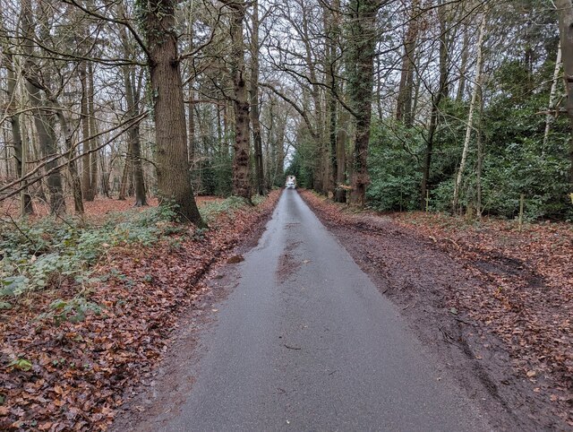
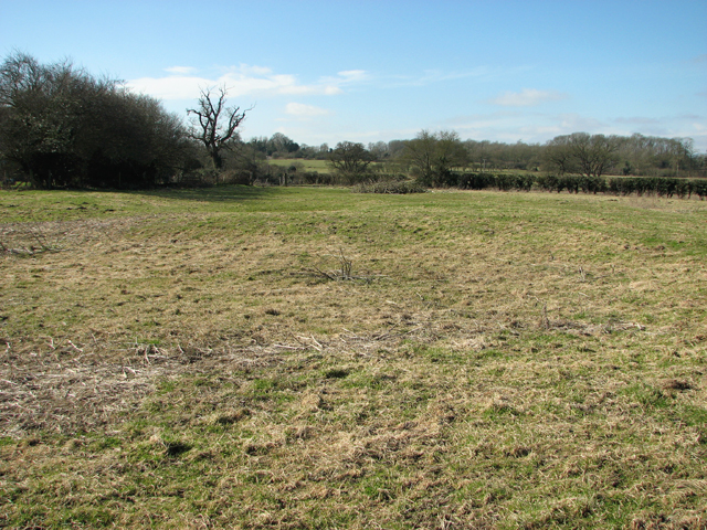
Brickle Wood is a picturesque forest located in Norfolk, England. Covering an area of approximately 200 acres, it is a popular destination for nature enthusiasts and hikers alike. The forest is characterized by its dense woodland, diverse flora, and tranquil atmosphere.

The wood is predominantly composed of native broadleaf trees such as oak, beech, and birch, which provide a stunning display of colors during the autumn months. The forest floor is covered in a vibrant carpet of wildflowers, creating a beautiful contrast against the towering trees.

Brickle Wood is home to a variety of wildlife species, including deer, foxes, badgers, and a plethora of bird species. Birdwatchers can spot woodpeckers, owls, and various songbirds among the trees. The forest's diverse ecosystem also supports a rich insect population, making it an ideal location for insect enthusiasts and photographers.

Visitors to Brickle Wood can explore the forest through a network of well-maintained trails, allowing them to discover the natural beauty at their own pace. The trails wind through the forest, offering breathtaking views and opportunities for peaceful reflection. Additionally, the wood has designated picnic areas and benches, providing a perfect spot for visitors to rest and enjoy the surroundings.

Brickle Wood is easily accessible, with ample parking facilities available nearby. It is open to the public throughout the year, offering a serene escape from the hustle and bustle of everyday life. Whether it's a leisurely walk, birdwatching, or simply enjoying the tranquility of nature, Brickle Wood offers a truly enchanting experience for all.

If you have any feedback on the listing, please let us know in the comments section below.
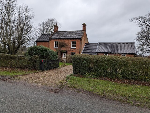
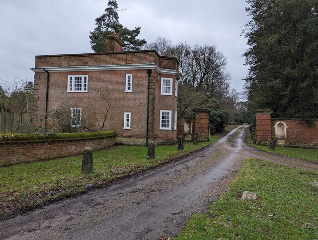
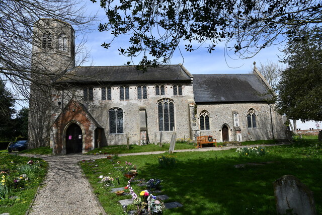
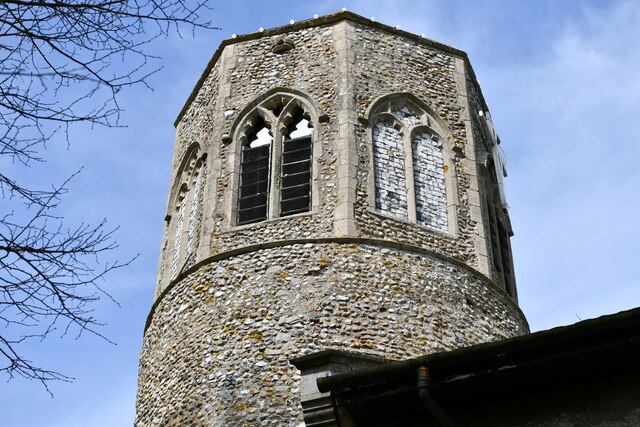
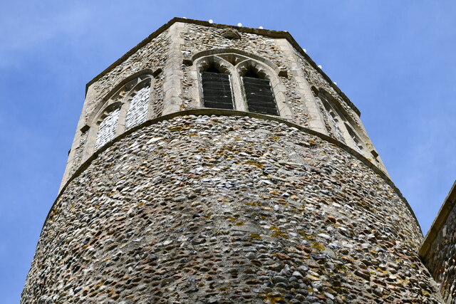
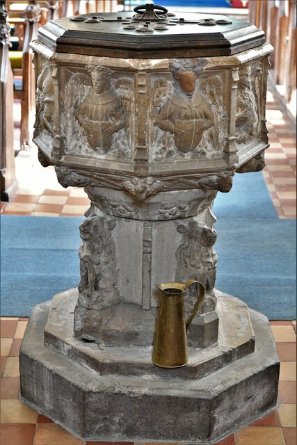
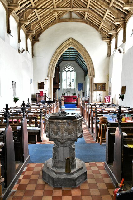
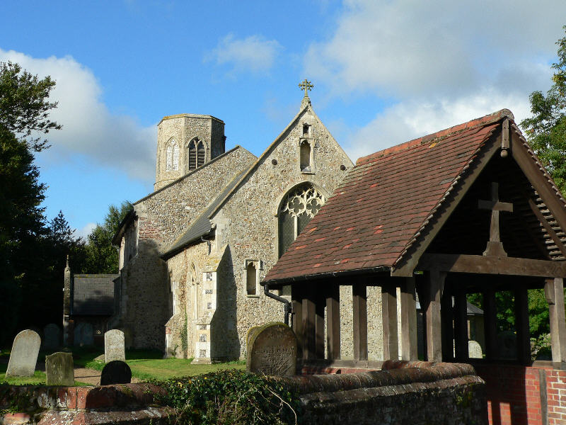
Brickle Wood Images

Images are sourced within 2km of 52.570009/1.3272252 or Grid Reference TG2502. Thanks to Geograph Open Source API. All images are credited.

Hill House, Framingham Pigot
North Lodge, Framingham Pigot This was once the entrance to Framingham Hall, which was shown on a 1797 map. The hall was formerly lived in by Geoffrey Colman. It was demolished in 1973, but the gate houses and walls remain. It is not listed.
North Lodge, Framingham Pigot
This was once the entrance to Framingham Hall, which was shown on a 1797 map. The hall was formerly lived in by Geoffrey Colman. It was demolished in 1973, but the gate houses and walls remain. It is not listed.
Spur Lane, Framingham Pigot
1 and 2 Spur Lane, Framingham Pigot
Framingham House, 58 Long Road, Framingham Earl The house appears to have been extensively renovated. Unfortunately, many trees have been felled.
Framingham House, 58 Long Road, Framingham Earl
The house appears to have been extensively renovated. Unfortunately, many trees have been felled.
Poringland, near Norwich Shops and offices are in this area.
Poringland, near Norwich
Shops and offices are in this area.
Poringland, All Saints Church: Southern aspect
Poringland, All Saints Church: c.1200 round tower with octagonal c14th top
Poringland, All Saints Church: Blocked north doorway
Poringland, All Saints Church: The nave
Poringland, All Saints Church: Octagonal font with the signs of the four Evangelists
Poringland, All Saints Church: Octagonal font with the signs of the four Evangelists and nave
Poringland, All Saints Church: The hammerbeam nave roof
Show me another place!

Brickle Wood is located at Grid Ref: TG2502 (Lat: 52.570009, Lng: 1.3272252)

Administrative County: Norfolk

District: South Norfolk

Police Authority: Norfolk

What 3 Words

///pest.novelist.fussy. Near Poringland, Norfolk

Related Wikis

Framingham Earl High School

Framingham Earl High School is a secondary school located in Framingham Earl in the English county of Norfolk to the south of Norwich. The school enrolls...

Poringland

Poringland is a village in the district of South Norfolk, England. It lies 5 miles (8.0 km) south of Norwich city centre and 10 miles (16 km) north of...

Stoke Holy Cross

Stoke Holy Cross is a village in South Norfolk which lies approximately 4 miles (6.4 km) south of Norwich. == Geography == Stoke sits on the River Tas...

Framingham Earl

Framingham Earl is a small village and civil parish in the English county of Norfolk. The village is located 5.8 miles (9.3 km) north-west of Loddon and...

Arminghall

Arminghall is a village and former civil parish, now in the parish of Caistor St Edmund and Bixley, in the South Norfolk district, in the county of Norfolk...

Framingham Pigot

Framingham Pigot is a village and civil parish in the English county of Norfolk. The village is located 6.4 miles (10.3 km) north-west of Loddon and 3...

Caistor St Edmund

Caistor St Edmund is a village and former civil parish on the River Tas, now in the parish of Caistor St Edmund and Bixley, in the South Norfolk district...

Bixley medieval settlement

Bixley medieval settlement is a deserted medieval village in Norfolk, England, about 2 miles (3.2 km) south-east of Norwich. It is a Scheduled Monument...

Nearby Amenities

Located within 500m of 52.570009,1.3272252
Bus Stop
Long Lane, opp
Bench: no
Naptan AtcoCode: 2900S494
Naptan Bearing: NE
Naptan BusStopType: CUS
Naptan CommonName: Long Lane
Naptan Indicator: opp
Naptan Landmark: Brickle Road
Naptan Locality: Upper Stoke
Naptan NaptanCode: nfodwaja
Naptan PlusbusZoneRef: NRCH
Naptan ShortCommonName: Long Lane
Naptan Street: Long Lane
Naptan Verified: no
Network: 87
Operator: Anglian
Shelter: no
Source: naptan_import
Lat/Long: 52.5721306/1.3239973
Bus Stop
Upper Stoke Poringland Road / Brooke Road
Bench: yes
Bin: yes
Naptan AtcoCode: 2900S496
Naptan Bearing: SW
Naptan CommonName: Long Lane
Naptan Indicator: adj
Naptan Landmark: Brickle Road
Naptan Locality: Upper Stoke
Naptan NaptanCode: nfodwajg
Naptan PlusbusZoneRef: NRCH
Naptan ShortCommonName: Long Lane
Naptan Street: Long Lane
Naptan Verified: no
Network: 87
Operator: Anglian
Passenger Information Display: no
Public Transport: platform
Shelter: yes
Source: naptan_import
Tactile Paving: no
Lat/Long: 52.5720518/1.3240334
Upper Stoke
Place: hamlet
Lat/Long: 52.5728181/1.324977
Post Box
Collection Times: Mo-Fr 09:00; Sa 07:00
Operator: Royal Mail
Post Box Mounting: brick_pillar
Post Box Type: wall
Ref: NR14 1461D
Royal Cypher: EVIIR
Lat/Long: 52.5719613/1.3241493
Broadland Sun Association Naturist Campsite
Addr City: Norwich
Addr Housenumber: 31
Addr Place: Stoke Holy Cross
Addr Postcode: NR14 8NG
Addr Street: Brickle Road
Internet Access: yes
Nudism: yes
Phone: +44 1508492907
Seasonal: spring;summer;autumn
Source: ACSI
Swimming Pool: indoor
Tourism: camp_site
Lat/Long: 52.5690978/1.3258764
Generator Method: photovoltaic
Generator Output Electricity: yes
Generator Source: solar
Generator Type: solar_photovoltaic_panel
Location: roof
Power: generator
Lat/Long: 52.5742546/1.3266765
Addr Postcode: NR14 8NW
Building: yes
Lat/Long: 52.5735655/1.3306094
Generator Method: photovoltaic
Generator Output Electricity: yes
Generator Source: solar
Generator Type: solar_photovoltaic_panel
Location: roof
Power: generator
Lat/Long: 52.5701767/1.3255638
Generator Method: photovoltaic
Generator Output Electricity: yes
Generator Source: solar
Generator Type: solar_photovoltaic_panel
Location: roof
Power: generator
Lat/Long: 52.5710538/1.3240081
Generator Method: photovoltaic
Generator Output Electricity: yes
Generator Source: solar
Generator Type: solar_photovoltaic_panel
Location: roof
Power: generator
Lat/Long: 52.571057/1.3239384
Generator Method: photovoltaic
Generator Output Electricity: yes
Generator Source: solar
Generator Type: solar_photovoltaic_panel
Location: roof
Power: generator
Lat/Long: 52.571282/1.323984
Generator Method: photovoltaic
Generator Output Electricity: yes
Generator Source: solar
Generator Type: solar_photovoltaic_panel
Location: roof
Power: generator
Lat/Long: 52.5710522/1.3255343
Generator Method: photovoltaic
Generator Output Electricity: yes
Generator Source: solar
Generator Type: solar_photovoltaic_panel
Location: roof
Power: generator
Lat/Long: 52.5725421/1.3245714
Generator Method: photovoltaic
Generator Output Electricity: yes
Generator Source: solar
Generator Type: solar_photovoltaic_panel
Location: roof
Power: generator
Lat/Long: 52.5740777/1.3288575
Generator Method: photovoltaic
Generator Output Electricity: yes
Generator Source: solar
Generator Type: solar_photovoltaic_panel
Location: roof
Power: generator
Lat/Long: 52.5734925/1.3270229
Generator Method: photovoltaic
Generator Output Electricity: yes
Generator Source: solar
Generator Type: solar_photovoltaic_panel
Location: roof
Power: generator
Lat/Long: 52.573512/1.3263899
Generator Method: photovoltaic
Generator Output Electricity: yes
Generator Source: solar
Generator Type: solar_photovoltaic_panel
Location: roof
Power: generator
Lat/Long: 52.5735772/1.3275379
Give Way
Direction: forward
Lat/Long: 52.5721028/1.3242446
Give Way
Direction: backward
Lat/Long: 52.5721724/1.3242383
Defibrillator
Booth: K6
Covered: booth
Defibrillator Location: inside old red phone box at corner of Long Lane and Brickle Road in Stoke Holy Cross
Disused Amenity: telephone
Emergency: defibrillator
Man Made: telephone_box
Lat/Long: 52.572043/1.3241428
Hiking: yes
Information: route_marker
Tourism: information
Lat/Long: 52.5722515/1.3243427
Bench
Backrest: yes
Material: wood
Lat/Long: 52.5723563/1.3244621
The data included in this document is from www.openstreetmap.org. The data is made available under ODbL.

Have you been to Brickle Wood?

Leave your review of Brickle Wood below (or comments, questions and feedback).