Garden Plantation
Wood, Forest in Norfolk Broadland
England
Garden Plantation
Garden Plantation, located in Norfolk County, Virginia, is a picturesque woodland area known for its lush greenery and diverse plant life. Spread over acres of land, this plantation is a haven for nature enthusiasts and botany lovers alike.
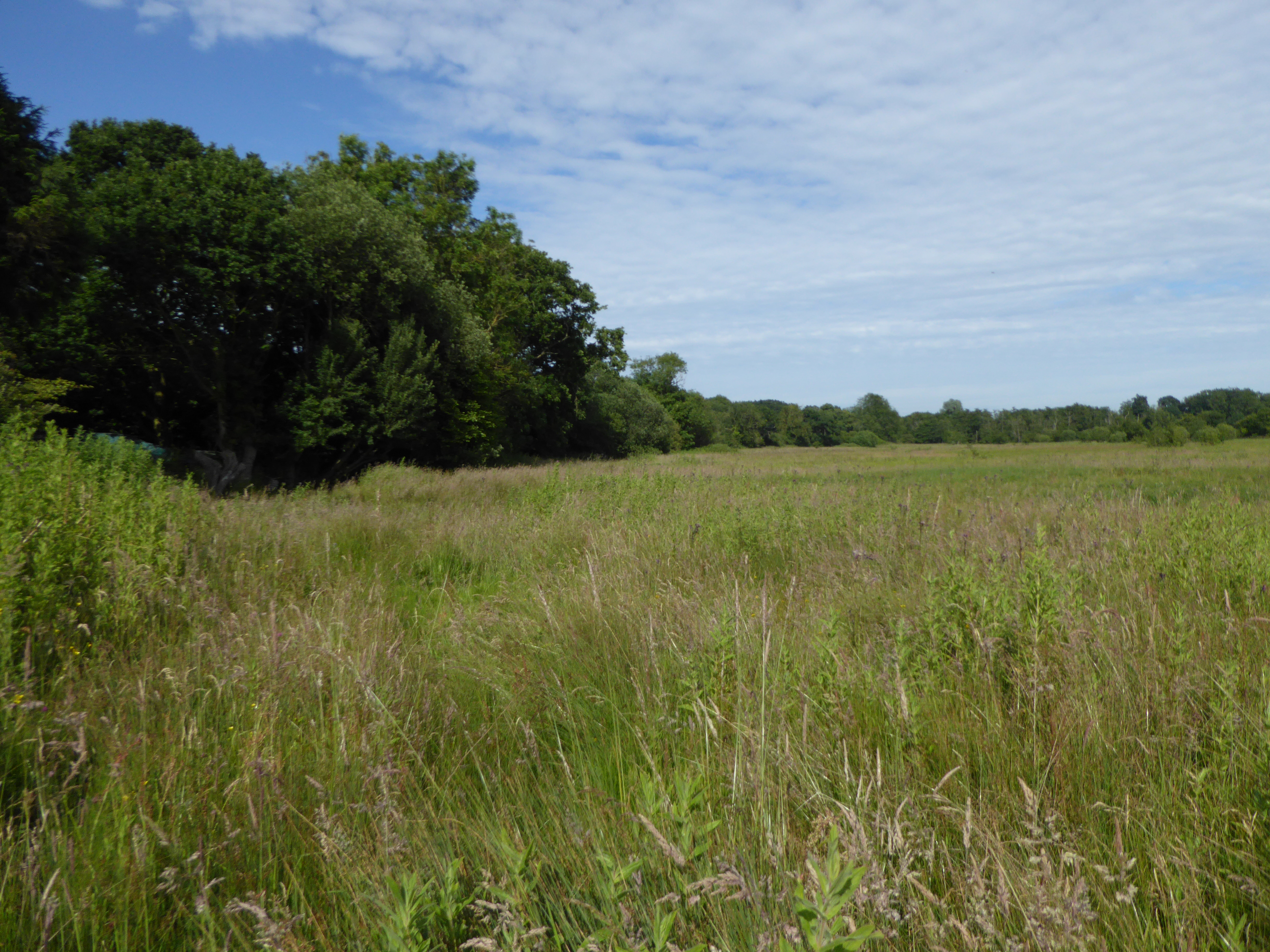
The Wood, Forest of Garden Plantation is characterized by its dense canopy of tall trees, creating a serene and peaceful atmosphere. The towering oaks and pines provide shade and shelter for a variety of flora and fauna that call this place their home. The forest floor is covered in a thick layer of moss, adding to the enchanting and mystical ambiance.
Visitors to Garden Plantation can explore the numerous walking trails that wind through the woodland, allowing them to immerse themselves in the beauty of nature. The trails are well-maintained and offer glimpses of wildflowers, ferns, and other native plants that thrive in this ecosystem.
Birdwatchers will be delighted by the diverse avian population found in the Wood, Forest of Garden Plantation. The area serves as a habitat for a wide range of bird species, including woodpeckers, owls, and various songbirds. Binoculars in hand, visitors can spot these feathered creatures perched on branches or soaring through the air.
Garden Plantation is also home to a variety of wildlife, such as deer, foxes, and rabbits. Nature lovers can observe these animals in their natural habitat, making for an unforgettable experience.
Overall, Garden Plantation, Norfolk (Wood, Forest) offers a tranquil escape from the hustle and bustle of city life, providing visitors with an opportunity to reconnect with nature and enjoy the beauty of the Virginia woodlands.
If you have any feedback on the listing, please let us know in the comments section below.
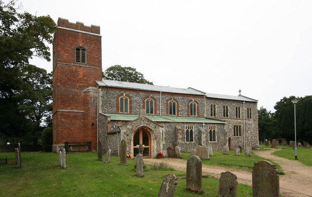
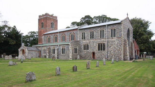
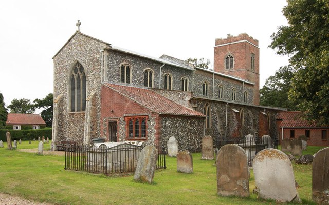
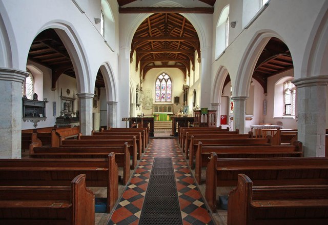
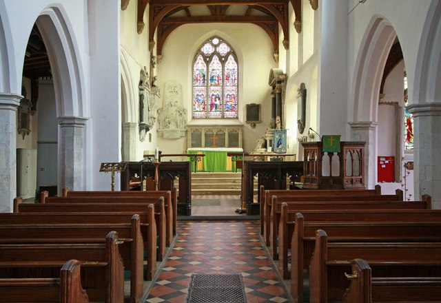
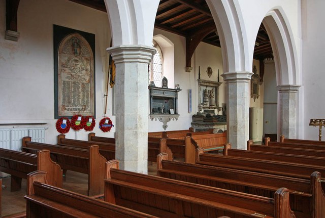
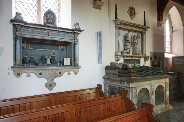
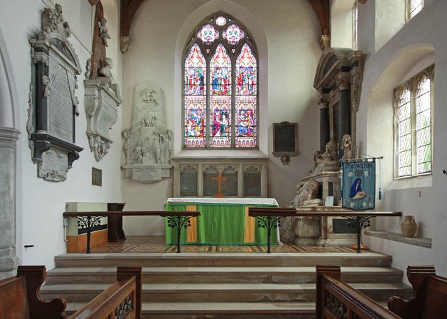
Garden Plantation Images
Images are sourced within 2km of 52.677326/1.3369944 or Grid Reference TG2514. Thanks to Geograph Open Source API. All images are credited.


Garden Plantation is located at Grid Ref: TG2514 (Lat: 52.677326, Lng: 1.3369944)
Administrative County: Norfolk
District: Broadland
Police Authority: Norfolk
What 3 Words
///necklaces.takeovers.remake. Near Spixworth, Norfolk
Related Wikis

Beeston St Andrew
Beeston St Andrew is a civil parish north of Norwich in the Broadland district of Norfolk, England. It contains Beeston Park and according to the 2001...

Spixworth
Spixworth is a village and civil parish in the English county of Norfolk. The village lies close to the B1150 road and is 5 miles (8.0 km) north of Norwich...

Norwich Northern Distributor Road
The Norwich Northern Distributor Road, now officially named the Broadland Northway (but also known as the NDR) is a 12.4 mi (20.0 km) dual-carriageway...

Crostwick
Crostwick is a village in the English county of Norfolk. The village is part of the civil parish of Horstead with Stanninghall. Crostwick is located 2...
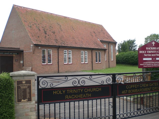
Rackheath
Rackheath is a village and civil parish in the English county of Norfolk, and is roughly 6 miles (9.7 km) north-east of Norwich city centre. It covers...
Crostwick Marsh
Crostwick Marsh is an 11.6-hectare (29-acre) biological Site of Special Scientific Interest in Crostwick, north of Norwich in Norfolk. It is part of the...
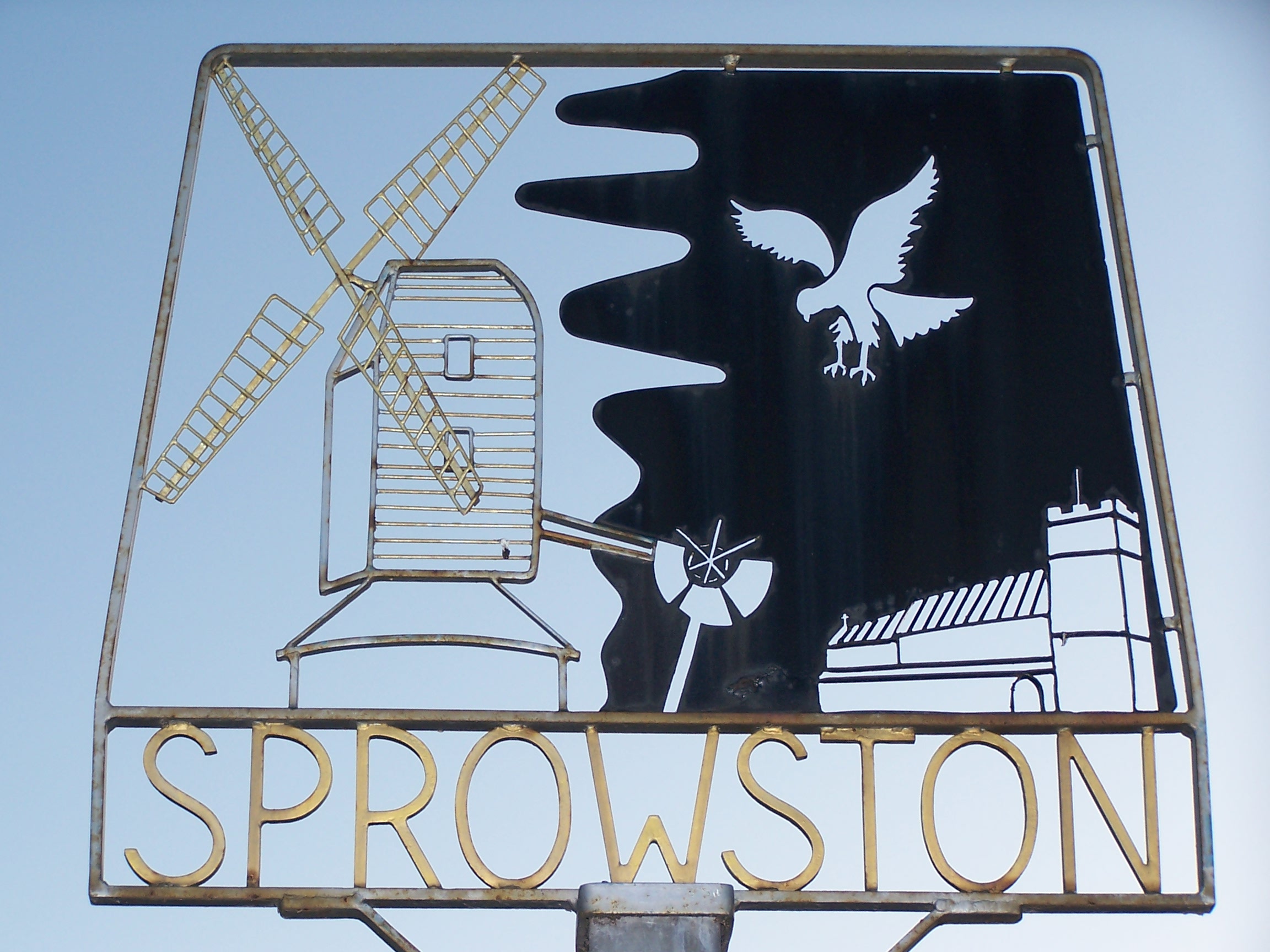
Sprowston
Sprowston ( or ) is a town and civil parish in the Broadland district of Norfolk, England. It is bounded by Heartsease to the east, Mousehold Heath and...
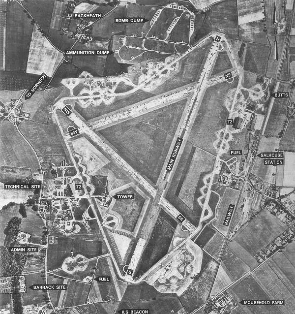
RAF Rackheath
Royal Air Force Rackheath, more commonly known as RAF Rackheath, is a former Royal Air Force station located near the village of Rackheath, approximately...
Nearby Amenities
Located within 500m of 52.677326,1.3369944Have you been to Garden Plantation?
Leave your review of Garden Plantation below (or comments, questions and feedback).