Tithe Plantation

Wood, Forest in Norfolk Broadland

England

Tithe Plantation

OS Benchmark Recorded on Benchmark Database as 'Spixworth, St Peter's Church'.
OS Benchmark Credit: David Bremner

Tithe Plantation, Norfolk is a picturesque woodland area located in the county of Norfolk, England. Situated within close proximity to the town of Wood, this plantation spans across a vast area, encompassing dense forests and lush greenery. The name "Tithe Plantation" is derived from its historical significance as a land that was traditionally used to pay tithes, or taxes, to the local church.

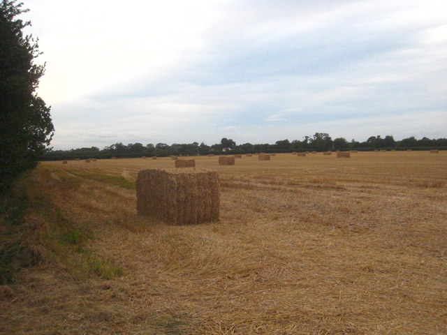
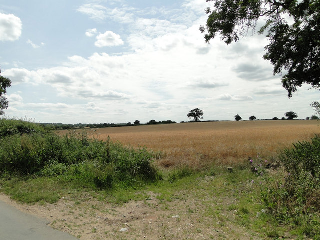
Covering an area of approximately [insert size], this woodland is characterized by its diverse flora and fauna. The plantation boasts a wide variety of tree species, including oak, beech, and birch, which create a rich and vibrant canopy. This, in turn, provides a habitat for numerous animal species such as squirrels, deer, and a variety of bird species.

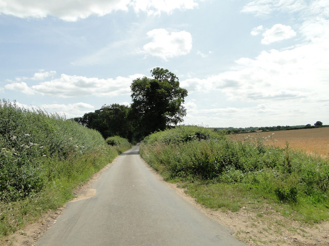
Tithe Plantation offers visitors a tranquil and peaceful escape from the hustle and bustle of everyday life. Its well-maintained walking trails wind their way through the woodland, allowing visitors to explore the natural beauty of the area at their own pace. These trails also provide opportunities for birdwatching and wildlife spotting.

In addition to its natural beauty, Tithe Plantation holds historical significance. The remains of ancient settlements and archaeological sites have been discovered within the woodland, offering a glimpse into the area's past.

Overall, Tithe Plantation, Norfolk is a haven for nature lovers and history enthusiasts alike, offering a unique combination of natural beauty and historical significance. Whether it's a leisurely walk through the forest or an exploration of the area's rich history, visitors to Tithe Plantation are sure to be captivated by its charm and tranquility.

If you have any feedback on the listing, please let us know in the comments section below.

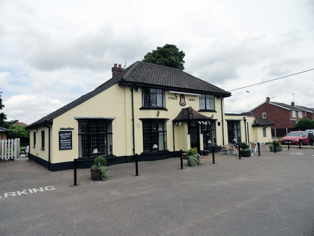
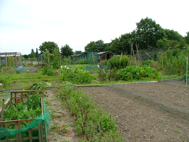
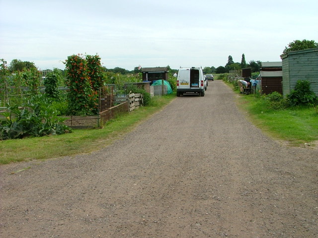
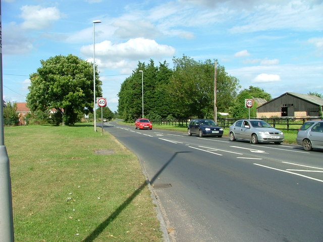
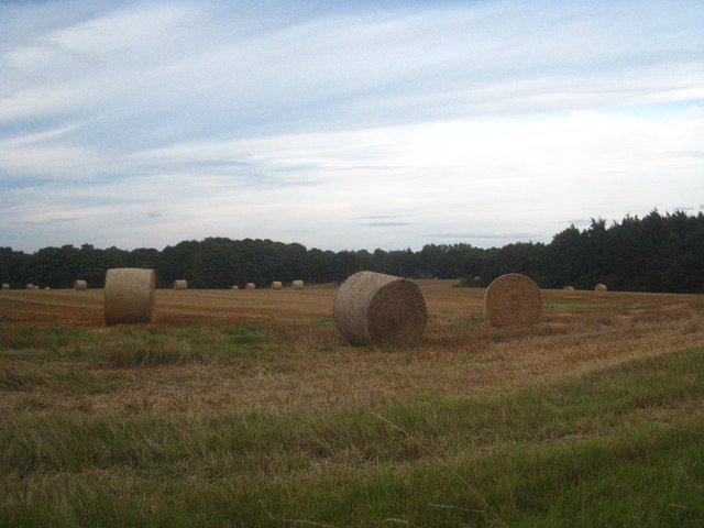
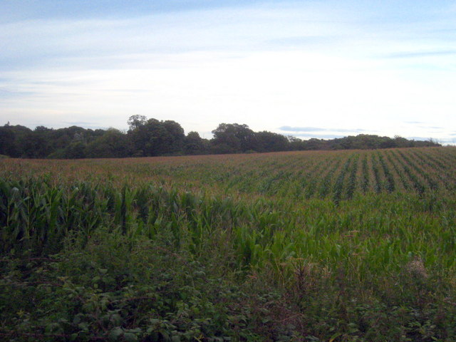
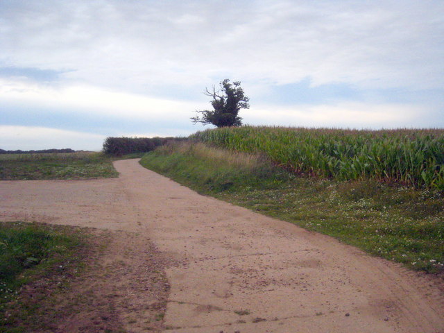
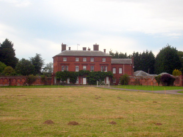
Tithe Plantation Images

Images are sourced within 2km of 52.681877/1.3318957 or Grid Reference TG2514. Thanks to Geograph Open Source API. All images are credited.

OS Benchmark Recorded on Benchmark Database as 'Spixworth, St Peter's Church'.
OS Benchmark
Recorded on Benchmark Database as 'Spixworth, St Peter's Church'.
St Peter's, Spixworth An attractive church which we were delighted to find open.
St Peter's, Spixworth
An attractive church which we were delighted to find open.
Flowers, St Peter's Church Attractive floral display at St Peter's Church, Spixworth.
Flowers, St Peter's Church
Attractive floral display at St Peter's Church, Spixworth.
Sprowston Park and Ride
The White Horse Crostwick Public House on the North Walsham Road
The White Horse Crostwick
Public House on the North Walsham Road
The Longe Arms Spixworth Located on the junction of Buxton Road and Crostwick Lane. It nearly closed at the end of 2010 when the lease was due to run out. Two villagers decided to take it over rather than see it close.
The Longe Arms Spixworth
Located on the junction of Buxton Road and Crostwick Lane. It nearly closed at the end of 2010 when the lease was due to run out. Two villagers decided to take it over rather than see it close.
Sprowston allotments
North Walsham Road, Norwich Looking north from its junction with White Woman Lane.
North Walsham Road, Norwich
Looking north from its junction with White Woman Lane.
Public Park and play area At Windsor Park Gardens, Norwich.
Public Park and play area
At Windsor Park Gardens, Norwich.
The drive of the Sprowston Manor Hotel Norwich Classic cars are lined up waiting for the start of the Rotary Retro Automobile Fellowship Jubilee Tour.
The drive of the Sprowston Manor Hotel Norwich
Classic cars are lined up waiting for the start of the Rotary Retro Automobile Fellowship Jubilee Tour.
Straw bales in a field in Beeston Lane Sprowston Wood on the right of the photo.
Straw bales in a field in Beeston Lane
Sprowston Wood on the right of the photo.
Field of maize at Diary Farm
Concrete farm track at Diary Farm
Beeston St Andrew Hall The curved C18th brick garden walls to each side of the house are Grade II Listed.
Beeston St Andrew Hall
The curved C18th brick garden walls to each side of the house are Grade II Listed.
Straw bales in a field in Church Lane Cuboid bales rather than the nowadays more commonly seen cylindrical ones.
Straw bales in a field in Church Lane
Cuboid bales rather than the nowadays more commonly seen cylindrical ones.
Barley field on gently sloping land at Crostwick
Primrose Lane near Primrose Hole, Crostwick
Show me another place!

Tithe Plantation is located at Grid Ref: TG2514 (Lat: 52.681877, Lng: 1.3318957)

Administrative County: Norfolk

District: Broadland

Police Authority: Norfolk

What 3 Words

///headed.crest.grand. Near Spixworth, Norfolk

Related Wikis

Beeston St Andrew

Beeston St Andrew is a civil parish north of Norwich in the Broadland district of Norfolk, England. It contains Beeston Park and according to the 2001...

Spixworth

Spixworth is a village and civil parish in the English county of Norfolk. The village lies close to the B1150 road and is 5 miles (8.0 km) north of Norwich...

Crostwick

Crostwick is a village in the English county of Norfolk. The village is part of the civil parish of Horstead with Stanninghall. Crostwick is located 2...

Norwich Northern Distributor Road

The Norwich Northern Distributor Road, now officially named the Broadland Northway (but also known as the NDR) is a 12.4 mi (20.0 km) dual-carriageway...

Nearby Amenities

Located within 500m of 52.681877,1.3318957
Beeston St Andrew
Place: village
Source: NPE
Lat/Long: 52.6774162/1.331855
Bus Stop
garden centre, adj
Bus: yes
Naptan AtcoCode: 2900B211
Naptan Bearing: S
Naptan BusStopType: CUS
Naptan CommonName: garden centre
Naptan Indicator: adj
Naptan Landmark: garden centre
Naptan Locality: Beeston St Andrew
Naptan NaptanCode: nfoadtmj
Naptan PlusbusZoneRef: NRCH
Naptan ShortCommonName: garden centre
Naptan Street: North Walsham Road
Naptan Verified: no
Public Transport: platform
Source: naptan_import
Lat/Long: 52.6791605/1.329748
Bus Stop
garden centre, opp
Bus: yes
Naptan AtcoCode: 2900B212
Naptan Bearing: N
Naptan BusStopType: CUS
Naptan CommonName: garden centre
Naptan Indicator: opp
Naptan Landmark: garden centre
Naptan Locality: Beeston St Andrew
Naptan NaptanCode: nfoadtmp
Naptan PlusbusZoneRef: NRCH
Naptan ShortCommonName: garden centre
Naptan Street: North Walsham Road
Naptan Verified: no
Public Transport: platform
Source: naptan_import
Lat/Long: 52.6791775/1.329521
Turning Circle
Lat/Long: 52.6842577/1.3260103
Crossing
Crossing: uncontrolled
Tactile Paving: no
Lat/Long: 52.6802518/1.3301967
Crossing
Crossing: uncontrolled
Tactile Paving: no
Lat/Long: 52.6802927/1.3299993
Crossing
Crossing: uncontrolled
Tactile Paving: no
Lat/Long: 52.6811911/1.3304878
Crossing
Crossing: uncontrolled
Tactile Paving: no
Lat/Long: 52.6812348/1.3303168
Crossing
Crossing: uncontrolled
Lat/Long: 52.6804917/1.3293078
Turning Circle
Lat/Long: 52.6859745/1.3314369
Crossing
Crossing: uncontrolled
Lat/Long: 52.6807819/1.3310848
Crossing
Crossing: uncontrolled
Lat/Long: 52.6806603/1.3311333
Crossing
Crossing: uncontrolled
Lat/Long: 52.6806475/1.3291583
The data included in this document is from www.openstreetmap.org. The data is made available under ODbL.

Have you been to Tithe Plantation?

Leave your review of Tithe Plantation below (or comments, questions and feedback).