Shrubbery Plantation

Wood, Forest in Norfolk Broadland

England

Shrubbery Plantation
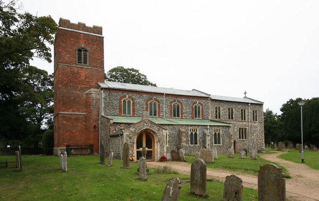
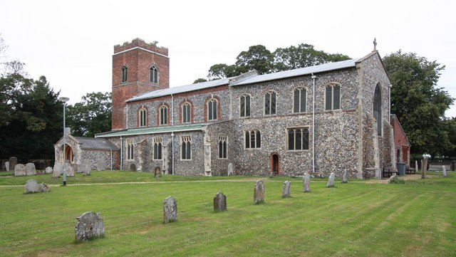
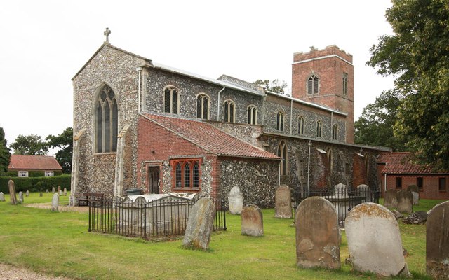
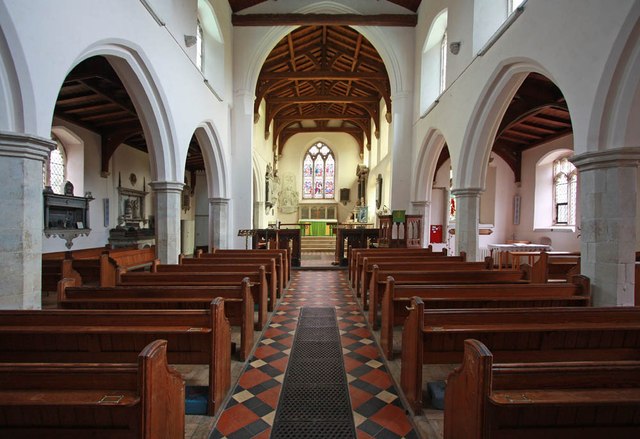
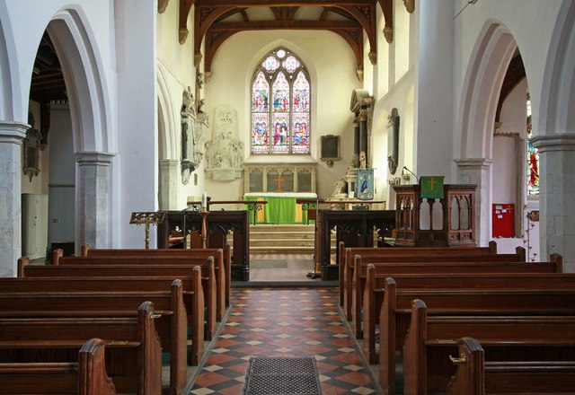
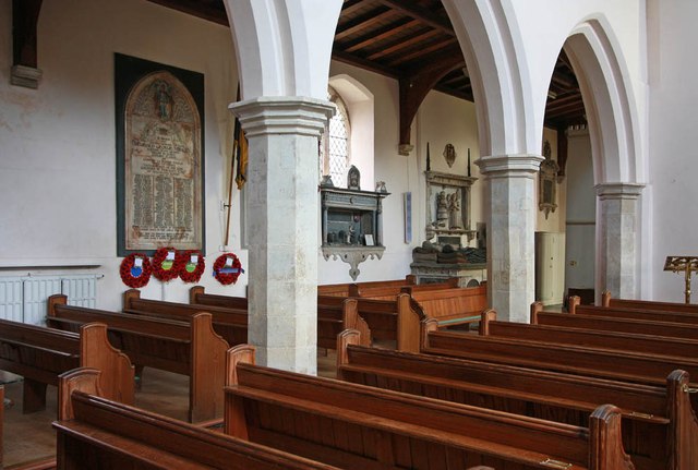
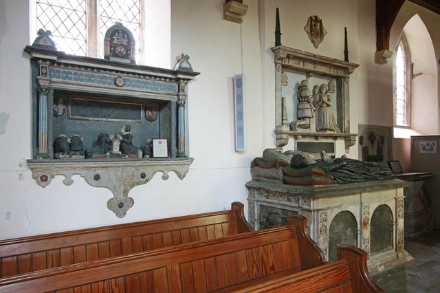
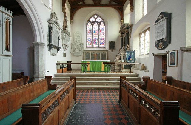
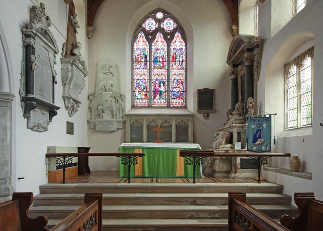
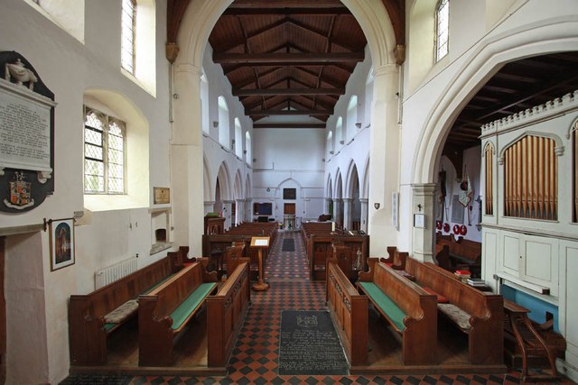
St Mary & St Margaret, Sprowston, Norwich
St Mary & St Margaret, Sprowston, Norwich Credit: John Salmon

Shrubbery Plantation, located in Norfolk, England, is a serene and picturesque woodland area renowned for its lush greenery and diverse range of shrubs. Spanning over several acres, this plantation is a haven for nature enthusiasts, providing a tranquil escape from the bustling city life.

The woodland is primarily covered with various species of shrubs, such as laurels, azaleas, and rhododendrons, which thrive in the fertile soil and favorable climate conditions of the region. The plantation's well-maintained paths meander through the forest, offering visitors the opportunity to explore and appreciate the beauty of the surrounding flora and fauna.

Shrubbery Plantation is home to a plethora of wildlife, attracting birdwatchers and nature photographers from far and wide. The melodious songs of birds, including thrushes and robins, can be heard echoing through the trees, while squirrels and rabbits can often be spotted darting among the undergrowth.

The plantation also boasts a charming picnic area, where visitors can relax and enjoy a leisurely lunch amidst the natural splendor. The dappled sunlight filtering through the leaves adds to the enchanting ambiance, making it an ideal spot for families and friends to gather and spend quality time together.

Furthermore, the plantation offers educational programs and guided tours, allowing visitors to learn about the different species of shrubs and their ecological importance. These initiatives aim to raise awareness about conservation and promote a deeper understanding of the plant life in the region.

Overall, Shrubbery Plantation in Norfolk is a captivating destination for nature lovers, offering a serene environment, diverse shrubbery, and an opportunity to immerse oneself in the beauty of the natural world.

If you have any feedback on the listing, please let us know in the comments section below.

Shrubbery Plantation Images

Images are sourced within 2km of 52.676947/1.3345092 or Grid Reference TG2514. Thanks to Geograph Open Source API. All images are credited.

St Mary & St Margaret, Sprowston, Norwich
St Mary & St Margaret, Sprowston, Norwich - East end
St Mary & St Margaret, Sprowston, Norwich - Interior
St Mary & St Margaret, Sprowston, Norwich - Wall monuments
St Mary & St Margaret, Sprowston, Norwich - Chancel
St Mary & St Margaret, Sprowston, Norwich - Sanctuary
St Mary & St Margaret, Sprowston, Norwich - West end
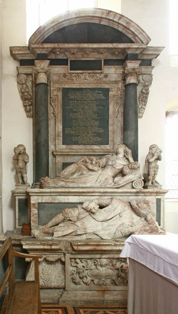
St Mary & St Margaret, Sprowston, Norwich - Monument
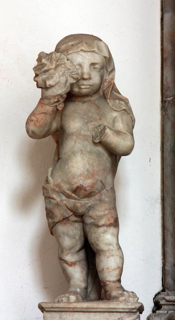
St Mary & St Margaret, Sprowston, Norwich - Monument detail
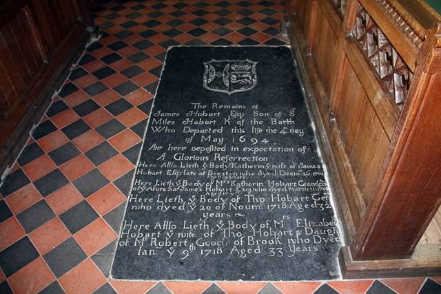
St Mary & St Margaret, Sprowston, Norwich - Ledger slab
St Mary & St Margaret, Sprowston, Norwich - Window
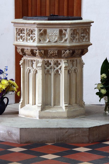
St Mary & St Margaret, Sprowston, Norwich - Font
St Mary & St Margaret, Sprowston, Norwich - Royal Arms
St Mary & St Margaret, Sprowston, Norwich - War Memorial
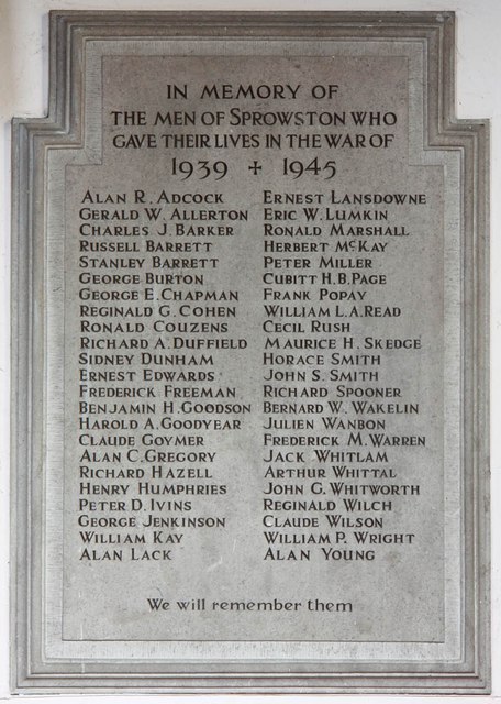
St Mary & St Margaret, Sprowston, Norwich - War Memorial WWII
Show me another place!

Shrubbery Plantation is located at Grid Ref: TG2514 (Lat: 52.676947, Lng: 1.3345092)

Administrative County: Norfolk

District: Broadland

Police Authority: Norfolk

What 3 Words

///proudest.sober.feasting. Near Spixworth, Norfolk

Related Wikis

Beeston St Andrew

Beeston St Andrew is a civil parish north of Norwich in the Broadland district of Norfolk, England. It contains Beeston Park and according to the 2001...

Spixworth

Spixworth is a village and civil parish in the English county of Norfolk. The village lies close to the B1150 road and is 5 miles (8.0 km) north of Norwich...

Norwich Northern Distributor Road

The Norwich Northern Distributor Road, now officially named the Broadland Northway (but also known as the NDR) is a 12.4 mi (20.0 km) dual-carriageway...

Crostwick

Crostwick is a village in the English county of Norfolk. The village is part of the civil parish of Horstead with Stanninghall. Crostwick is located 2...

Nearby Amenities

Located within 500m of 52.676947,1.3345092
Beeston St Andrew
Place: village
Source: NPE
Lat/Long: 52.6774162/1.331855
Bus Stop
garden centre, adj
Bus: yes
Naptan AtcoCode: 2900B211
Naptan Bearing: S
Naptan BusStopType: CUS
Naptan CommonName: garden centre
Naptan Indicator: adj
Naptan Landmark: garden centre
Naptan Locality: Beeston St Andrew
Naptan NaptanCode: nfoadtmj
Naptan PlusbusZoneRef: NRCH
Naptan ShortCommonName: garden centre
Naptan Street: North Walsham Road
Naptan Verified: no
Public Transport: platform
Source: naptan_import
Lat/Long: 52.6791605/1.329748
Bus Stop
garden centre, opp
Bus: yes
Naptan AtcoCode: 2900B212
Naptan Bearing: N
Naptan BusStopType: CUS
Naptan CommonName: garden centre
Naptan Indicator: opp
Naptan Landmark: garden centre
Naptan Locality: Beeston St Andrew
Naptan NaptanCode: nfoadtmp
Naptan PlusbusZoneRef: NRCH
Naptan ShortCommonName: garden centre
Naptan Street: North Walsham Road
Naptan Verified: no
Public Transport: platform
Source: naptan_import
Lat/Long: 52.6791775/1.329521
Crossing
Crossing: uncontrolled
Tactile Paving: no
Lat/Long: 52.6802518/1.3301967
Crossing
Crossing: uncontrolled
Tactile Paving: no
Lat/Long: 52.6802927/1.3299993
Power: pole
Lat/Long: 52.6760554/1.3277409
Power: pole
Lat/Long: 52.6761131/1.3284074
Power: pole
Lat/Long: 52.676144/1.3286729
Power: pole
Lat/Long: 52.676227/1.3297136
Power: pole
Lat/Long: 52.6763359/1.3311486
Power: pole
Lat/Long: 52.6764579/1.3325595
Power: pole
Lat/Long: 52.6765734/1.3340239
Power: pole
Lat/Long: 52.6765262/1.3351638
Power: pole
Lat/Long: 52.6764888/1.3362206
Power: pole
Lat/Long: 52.676388/1.3375215
Power: pole
Lat/Long: 52.6764888/1.3403754
Power: pole
Lat/Long: 52.676388/1.3391228
Power: pole
Lat/Long: 52.6765754/1.3416353
Fixme: incomplete
Lat/Long: 52.6799117/1.3387159
Crossing
Crossing: uncontrolled
Lat/Long: 52.6807819/1.3310848
Crossing
Crossing: uncontrolled
Lat/Long: 52.6806603/1.3311333
The data included in this document is from www.openstreetmap.org. The data is made available under ODbL.

Have you been to Shrubbery Plantation?

Leave your review of Shrubbery Plantation below (or comments, questions and feedback).