Claysole Wood
Wood, Forest in Kent Dover
England
Claysole Wood

Claysole Wood is a beautiful and expansive woodland located in the county of Kent, England. Covering an area of approximately 250 acres, it is nestled in the heart of the picturesque Kent countryside, near the village of Woodchurch.
The wood is predominantly made up of ancient, broad-leafed trees such as oak, beech, and chestnut, creating a rich and diverse ecosystem. These mature trees provide a dense canopy, which allows only dappled sunlight to filter through to the forest floor, creating a magical and enchanting atmosphere.
Claysole Wood is known for its abundant wildlife. The wood is home to a wide variety of bird species, including woodpeckers, owls, and various songbirds. The undergrowth is teeming with small mammals such as rabbits, squirrels, and voles, while the nearby streams and ponds attract amphibians and reptiles.
Visitors to Claysole Wood can enjoy a network of well-maintained footpaths and trails that crisscross through the woodland, offering stunning views and opportunities for peaceful walks and nature exploration. There are also picnic areas and benches dotted throughout the wood, allowing visitors to take a moment to relax and admire the natural surroundings.
The management of Claysole Wood is overseen by a local conservation group, who work tirelessly to preserve the natural beauty and biodiversity of the area. They conduct regular surveys and conservation projects, ensuring that the wood remains a haven for wildlife and a cherished natural asset for the local community.
Overall, Claysole Wood is a truly remarkable woodland, offering a haven of tranquility and natural beauty to all who visit. Its ancient trees, abundant wildlife, and well-maintained trails make it a must-visit destination for nature enthusiasts and those seeking solace in the great outdoors.
If you have any feedback on the listing, please let us know in the comments section below.
Claysole Wood Images
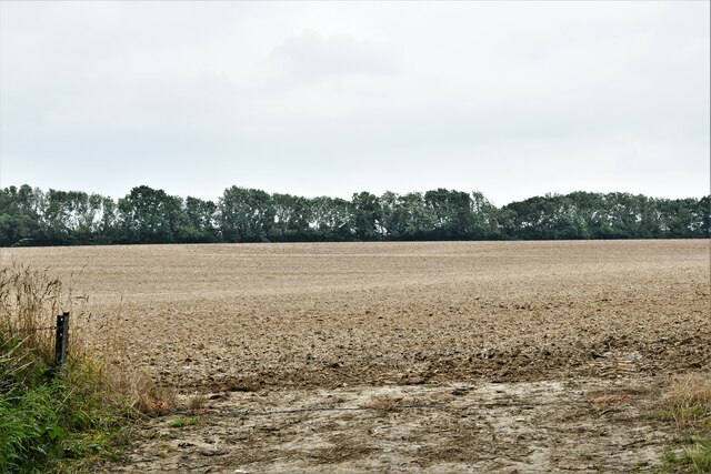
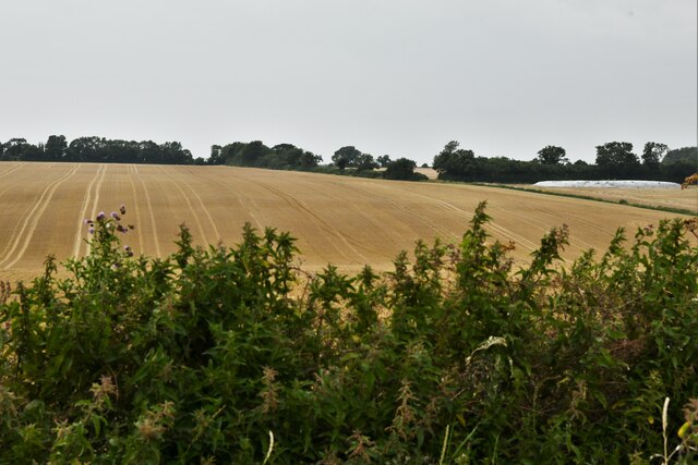
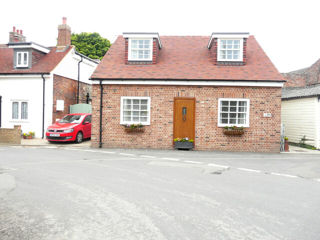
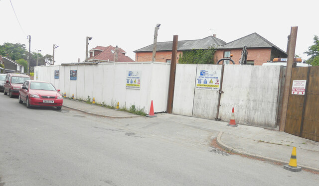
Images are sourced within 2km of 51.177599/1.2251909 or Grid Reference TR2546. Thanks to Geograph Open Source API. All images are credited.


Claysole Wood is located at Grid Ref: TR2546 (Lat: 51.177599, Lng: 1.2251909)
Administrative County: Kent
District: Dover
Police Authority: Kent
What 3 Words
///exacts.passions.escalated. Near Shepherdswell, Kent
Nearby Locations
Related Wikis

Shepherdswell with Coldred
Shepherdswell with Coldred is a civil parish in the Dover District of Kent, England. The parish contains the villages of Shepherdswell and Coldred, 1 mile...

Shepherdswell
Shepherdswell (also Sibertswold) is a village and former civil parish, now in the parish of Shepherdswell with Coldred, in the Dover district of Kent,...
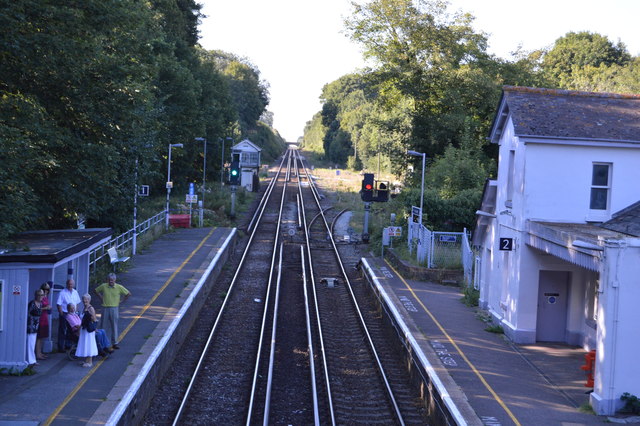
Shepherds Well railway station
Shepherds Well railway station is on the Dover branch of the Chatham Main Line in England, and serves the village of Shepherdswell, Kent. It is 71 miles...

Shepherdswell railway station (EKLR)
Shepherdswell railway station is a station on the East Kent Railway. The southern terminus of the East Kent Light Railway, It opened on 16 October 1916...
Nearby Amenities
Located within 500m of 51.177599,1.2251909Have you been to Claysole Wood?
Leave your review of Claysole Wood below (or comments, questions and feedback).