Alder Carr

Wood, Forest in Suffolk East Suffolk

England

Alder Carr

Lorry traffic on A14, north of Trimley St Martin On the far carriageway some lorries are halted in a layby.
Lorry traffic on A14, north of Trimley St Martin Credit: Christopher Hilton

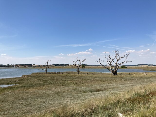
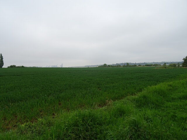
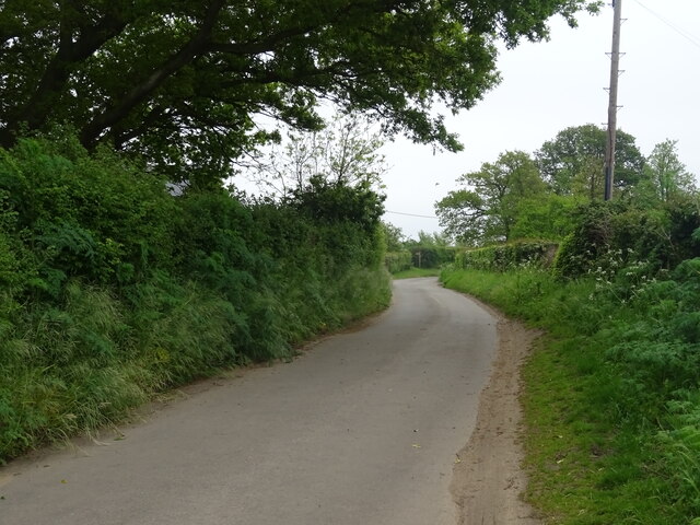
Alder Carr, Suffolk, also known as Alder Wood or Alder Forest, is a picturesque area located in the eastern part of England. This enchanting woodland is situated in the county of Suffolk, known for its natural beauty and tranquil surroundings. Alder Carr is renowned for its thriving alder trees, which dominate the landscape and lend their name to the area.

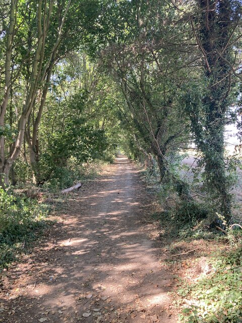
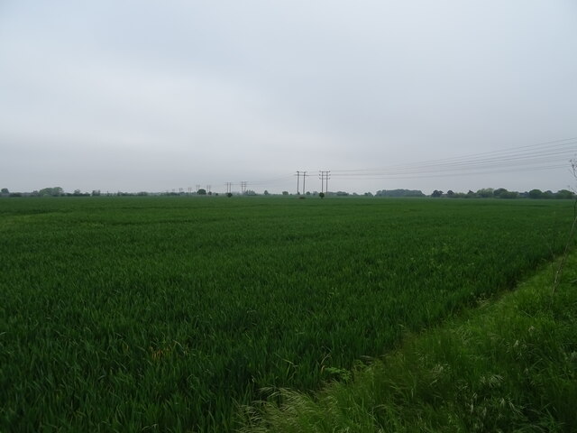
The forest covers a vast expanse of land, providing a diverse habitat for numerous plant and animal species. The alder trees, with their distinctive broad leaves and slender trunks, create a dense canopy that filters sunlight, creating a cool and shaded environment below. This environment is ideal for a variety of woodland plants, including bluebells, primroses, and ferns, which carpet the forest floor in vibrant colors during the spring and summer months.

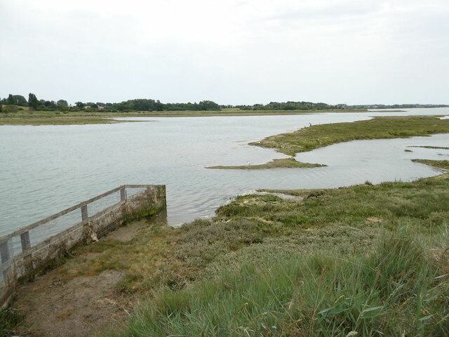
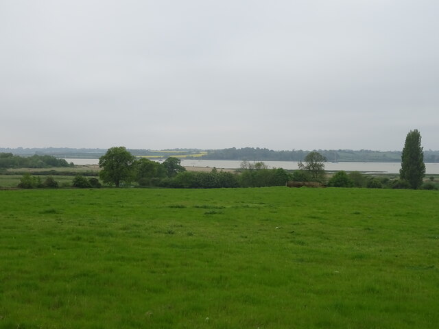
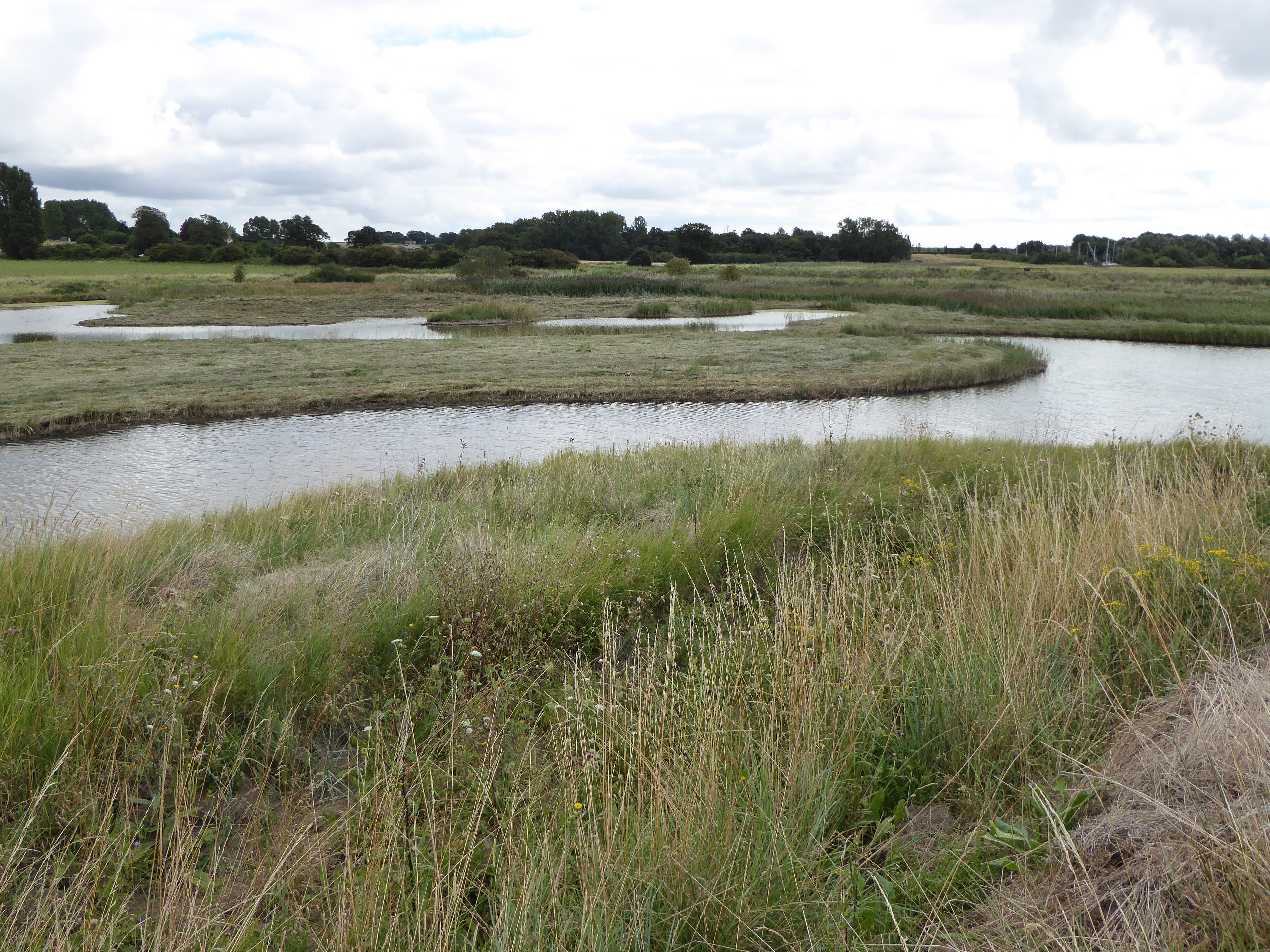
Alder Carr is not only a haven for plant life, but also a sanctuary for numerous animal species. The dense undergrowth and network of streams that meander through the woodland provide a perfect habitat for a variety of wildlife. Visitors may spot small mammals such as rabbits, squirrels, and voles, as well as a wide range of bird species, including woodpeckers, owls, and finches.

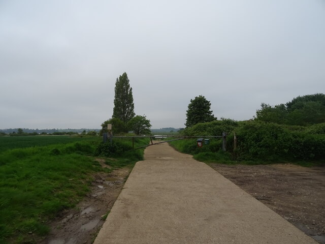
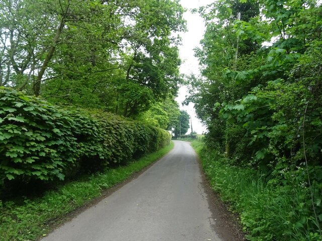
The woodland is traversed by a network of paths and trails, inviting visitors to explore its natural wonders. Nature enthusiasts and walkers can enjoy a peaceful stroll amidst the towering trees, immersing themselves in the serenity and beauty of this enchanting forest. With its rich biodiversity and stunning scenery, Alder Carr, Suffolk is a true gem for anyone seeking solace in nature.

If you have any feedback on the listing, please let us know in the comments section below.

Alder Carr Images

Images are sourced within 2km of 51.997927/1.2838909 or Grid Reference TM2538. Thanks to Geograph Open Source API. All images are credited.

Lorry traffic on A14, north of Trimley St Martin On the far carriageway some lorries are halted in a layby.
Lorry traffic on A14, north of Trimley St Martin
On the far carriageway some lorries are halted in a layby.
Levington Marshes Looking down from Levington village to Levington Creek, the River Orwell and in the distance the container port at Felixstowe.
Levington Marshes
Looking down from Levington village to Levington Creek, the River Orwell and in the distance the container port at Felixstowe.
Levington Creek With a distant view of the container port of Felixstowe.
Levington Creek
With a distant view of the container port of Felixstowe.
Path beside Levington Creek
Levington Creek Arm of the Orwell estuary.
Levington Creek
Arm of the Orwell estuary.
Cottage at Trimley Lower Street
Wooded footpath near Alston Hall
Looking across the Orwell towards Levington Marina
Dead trees near the Orwell This area is part of the Trimley Marsh Managed Realignment Site. The river wall has been deliberately breached and a new wall created on the landward side to create this area of saltmarsh: <span class="nowrap"><a title="https://www.ecoshape.org/en/knowledge-articles/managed-realignment-schemes/" rel="nofollow ugc noopener" href="https://www.ecoshape.org/en/knowledge-articles/managed-realignment-schemes/">Link</a><img style="margin-left:2px;" alt="External link" title="External link - shift click to open in new window" src="https://s1.geograph.org.uk/img/external.png" width="10" height="10"/></span>
Dead trees near the Orwell
This area is part of the Trimley Marsh Managed Realignment Site. The river wall has been deliberately breached and a new wall created on the landward side to create this area of saltmarsh: LinkExternal link
Trimley Lower Street
Level crossing, Thorpe Lane
View towards the estuary from the Thorpe Lane level crossing
Cereal crop, Levington
Track (footpath) towards Levington Creek
Minor road towards Stratton Hall National Cycle Route 51
Minor road towards Stratton Hall
National Cycle Route 51
Grazing, Stratton Hall Towards the River Orwell.
Grazing, Stratton Hall
Towards the River Orwell.
Minor road, Stratton Hall National Cycle Route 51
Minor road, Stratton Hall
National Cycle Route 51
Cereal crop, Stratton Hall
Show me another place!

Alder Carr is located at Grid Ref: TM2538 (Lat: 51.997927, Lng: 1.2838909)

Administrative County: Suffolk

District: East Suffolk

Police Authority: Suffolk

What 3 Words

///subtitle.compacts.spotted. Near Shotley Gate, Suffolk

Nearby Locations

Alder Carr Fire Hill

Related Wikis

Colneis Hundred

Colneis is a hundred of Suffolk, consisting of 16,712 acres (67.63 km2).Running from the south-east outskirts of Ipswich to the North Sea coast, the hundred...

Stratton Hall

Stratton Hall is a civil parish in the East Suffolk district of Suffolk in eastern England. In 2005 its population was 30. It shares a parish council with...

Levington Lagoon

Levington Lagoon is a 5 hectare nature reserve south-east of Levington in Suffolk. It is owned by Suffolk Yacht Harbour Ltd and managed by the Suffolk...

Alston, Suffolk

Alston was a medieval parish in the county of Suffolk. Without enough people to ensure its survival, the parish was consolidated with that of Trimley St...

Related Videos

Newbourne Woodland Campsite - Escape to the woods!

Welcome to Newbourne Woodland Campsite. Relax and enjoy peaceful adult-only woodland camping near Ipswich, Suffolk.

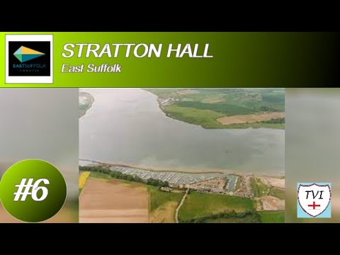
STRATTON HALL: East Suffolk Parish #6 pf 177

Every so often, we get one that's tiny, to the point that you think, “is it really worth going to this one?”. The answer is, of course yes ...

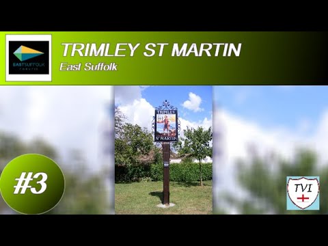
TRIMLEY ST MARTIN: East Suffolk Parish #3 of 177

The second of the two Trimleys for you now, and this one has a very interesting area that surrounds it, containing so much history ...

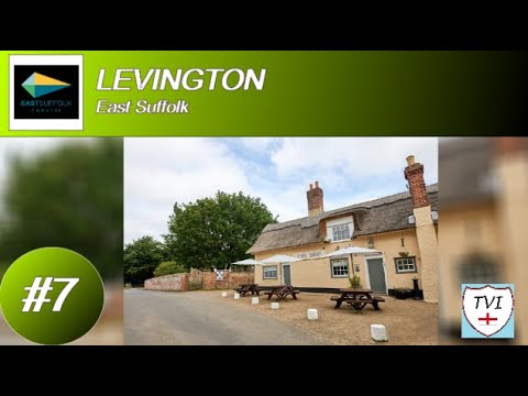
LEVINGTON: East Suffolk Parish #7 of 177

Once upon a time in Suffolk, there was a research station, built by the fertilizer giant Fisons who we've come across before in this ...

Nearby Amenities

Located within 500m of 51.997927,1.2838909
Power: pole
Lat/Long: 51.9994905/1.2816559
Power: pole
Lat/Long: 51.998602/1.281849
Power: pole
Lat/Long: 51.9952694/1.2848423
Power: pole
Lat/Long: 51.9963429/1.2821816
Power: pole
Lat/Long: 51.9994839/1.2814681
Power: pole
Lat/Long: 51.9954973/1.2840484
Power: pole
Lat/Long: 51.9955931/1.2841664
Power: pole
Lat/Long: 51.9986152/1.2815861
Power: pole
Lat/Long: 51.9945394/1.2860869
Power: pole
Lat/Long: 52.000511/1.28157
Power: pole
Lat/Long: 51.996944/1.2820046
Power: pole
Lat/Long: 52.0015546/1.2810926
Power: pole
Lat/Long: 52.0017462/1.2814842
Power: pole
Lat/Long: 52.0004449/1.2813072
Power: pole
Lat/Long: 51.9976839/1.2818114
Power: pole
Lat/Long: 51.9946385/1.2862049
Power: pole
Lat/Long: 51.9964208/1.2823422
Power: pole
Lat/Long: 51.9951769/1.2847458
Power: pole
Lat/Long: 51.9976806/1.2820582
Power: pole
Lat/Long: 51.9979771/1.2909071
The data included in this document is from www.openstreetmap.org. The data is made available under ODbL.

Have you been to Alder Carr?

Leave your review of Alder Carr below (or comments, questions and feedback).