Fire Hill
Hill, Mountain in Suffolk East Suffolk
England
Fire Hill
Fire Hill is a prominent hill located in the county of Suffolk, England. It is situated in the district of Babergh, near the village of Groton. Although commonly referred to as a hill, Fire Hill is more accurately classified as a large mound or a small mountain due to its significant elevation.
Rising to an impressive height of approximately 120 meters (394 feet) above sea level, Fire Hill offers breathtaking panoramic views of the surrounding countryside. The hill is characterized by its distinctive shape, with a gentle slope on one side and a steeper incline on the other, providing a challenging terrain for hikers and nature enthusiasts.
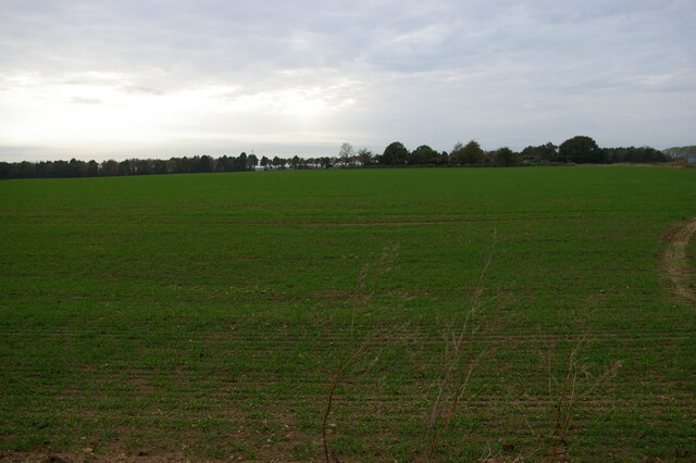
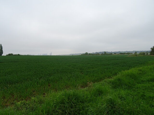
Fire Hill is renowned for its rich biodiversity and serves as a haven for various plant and animal species. The hill is primarily covered in lush grassland, dotted with scattered trees and shrubs. This diverse habitat supports a wide range of wildlife, including numerous bird species, small mammals, and insects.
The hill has historical significance as well, with archaeological evidence suggesting human activity in the area dating back to the Iron Age. It is believed that Fire Hill may have served as a defensive site or a place of ritual significance during ancient times.
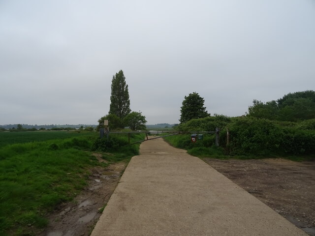
Today, Fire Hill attracts visitors from near and far, who come to enjoy its natural beauty, go hiking, or simply relax in the tranquil surroundings. The hill offers a welcome escape from the hustle and bustle of everyday life, providing an opportunity to connect with nature and appreciate the stunning landscape that Suffolk has to offer.
If you have any feedback on the listing, please let us know in the comments section below.
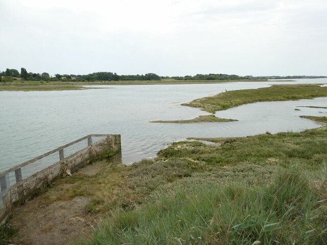
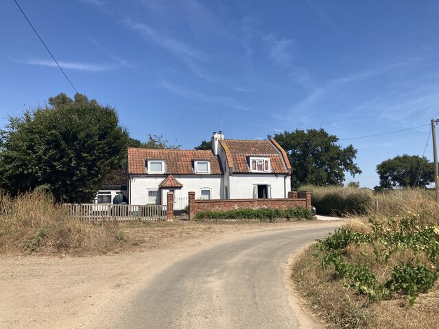
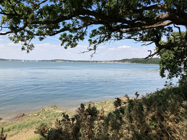
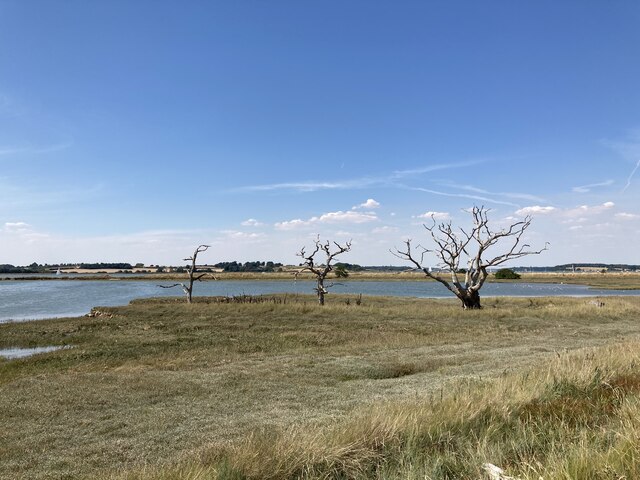
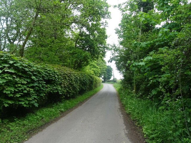
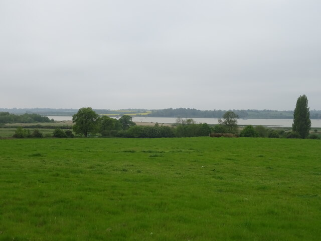
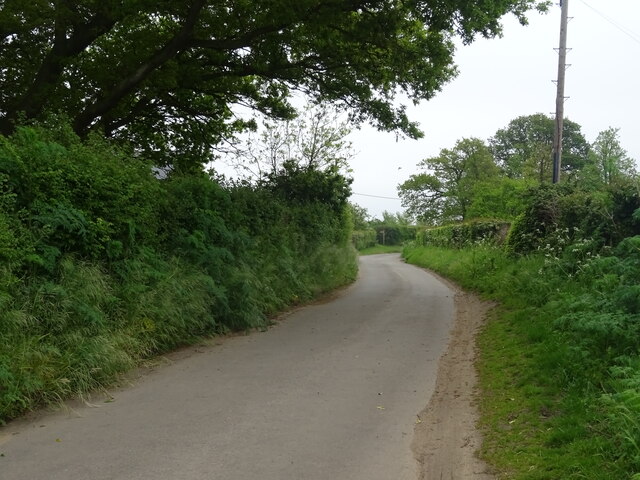
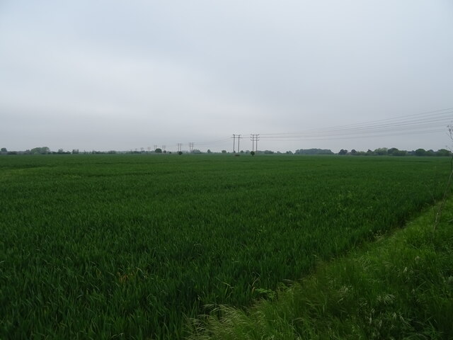
Fire Hill Images
Images are sourced within 2km of 52.000271/1.2840043 or Grid Reference TM2538. Thanks to Geograph Open Source API. All images are credited.


Fire Hill is located at Grid Ref: TM2538 (Lat: 52.000271, Lng: 1.2840043)
Administrative County: Suffolk
District: East Suffolk
Police Authority: Suffolk
What 3 Words
///trombone.sues.brains. Near Shotley Gate, Suffolk
Nearby Locations
Related Wikis

Colneis Hundred
Colneis is a hundred of Suffolk, consisting of 16,712 acres (67.63 km2).Running from the south-east outskirts of Ipswich to the North Sea coast, the hundred...
Stratton Hall
Stratton Hall is a civil parish in the East Suffolk district of Suffolk in eastern England. In 2005 its population was 30. It shares a parish council with...
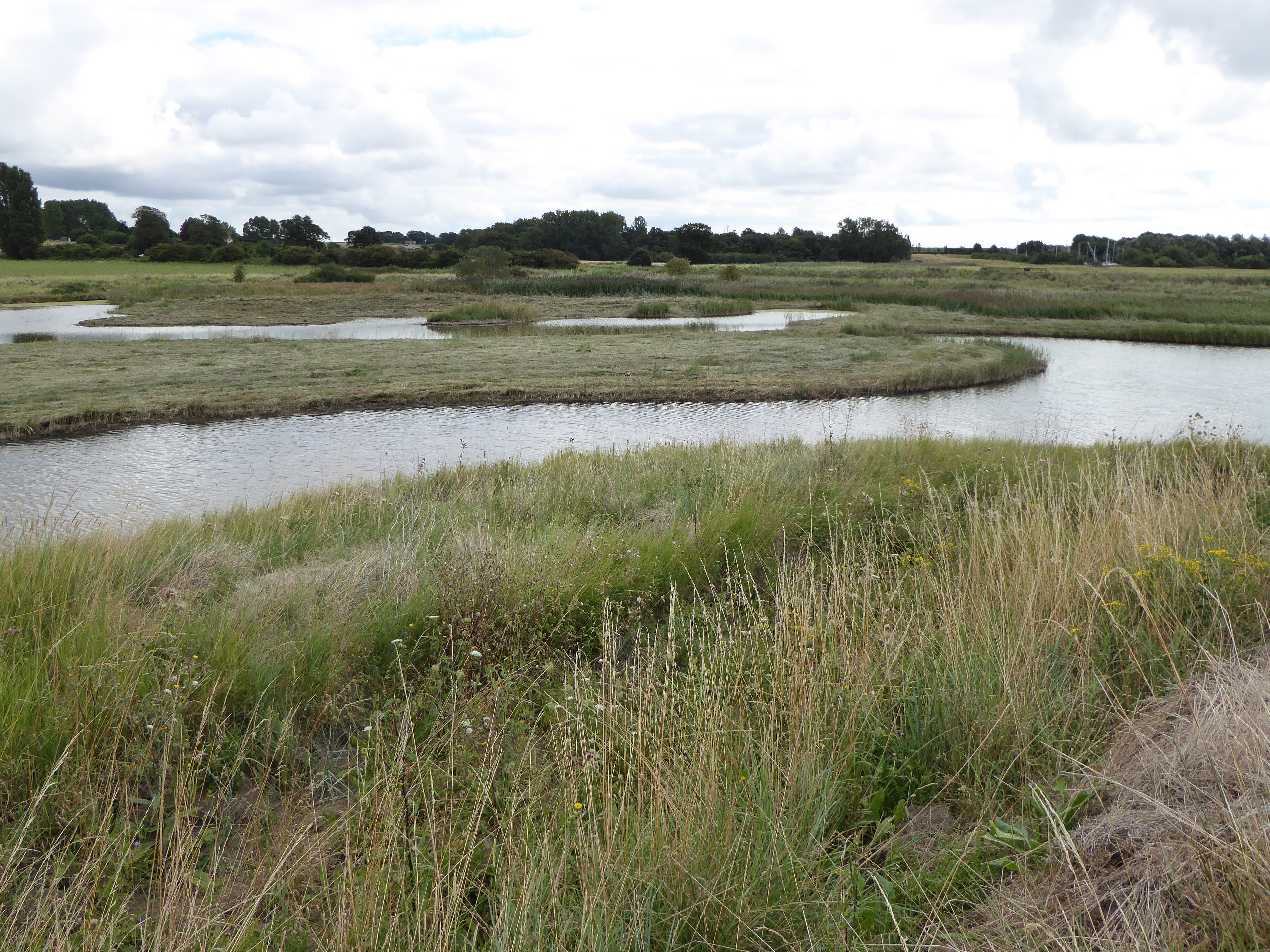
Levington Lagoon
Levington Lagoon is a 5 hectare nature reserve south-east of Levington in Suffolk. It is owned by Suffolk Yacht Harbour Ltd and managed by the Suffolk...
Trimley St Martin
Trimley St. Martin is a parish and village that lies between the rivers Orwell and the Deben, on the long narrow tongue of land from Ipswich to Felixstowe...
Alston, Suffolk
Alston was a medieval parish in the county of Suffolk. Without enough people to ensure its survival, the parish was consolidated with that of Trimley St...
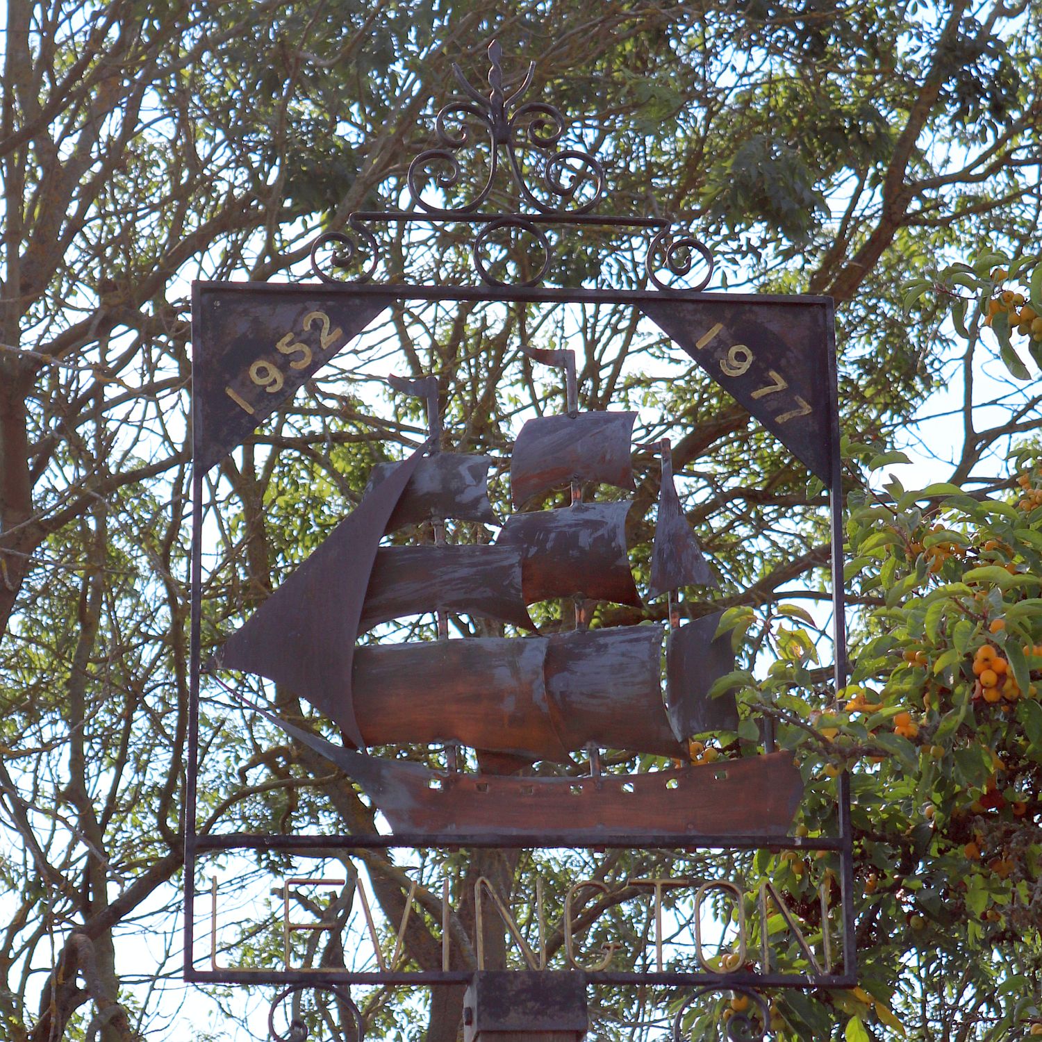
Levington
Levington is a small village in the county of Suffolk, England in the East Suffolk district. The population of the parish including Stratton Hall at the...

Nacton Meadows
Nacton Meadows is a 4.5-hectare (11-acre) biological Site of Special Scientific Interest north-west of Levington in Suffolk. It is in the Suffolk Coast...

Kirton, Suffolk
Kirton is a village and a civil parish in the shire county of Suffolk, England, situated off the A14 road, about 4.5 km (2.8 mi) from Felixstowe and around...
Nearby Amenities
Located within 500m of 52.000271,1.2840043Have you been to Fire Hill?
Leave your review of Fire Hill below (or comments, questions and feedback).