Chestnut Grove

Wood, Forest in Norfolk South Norfolk

England

Chestnut Grove

A143 east at the end of the Harleston by-pass
A143 east at the end of the Harleston by-pass Credit: Roy Hughes

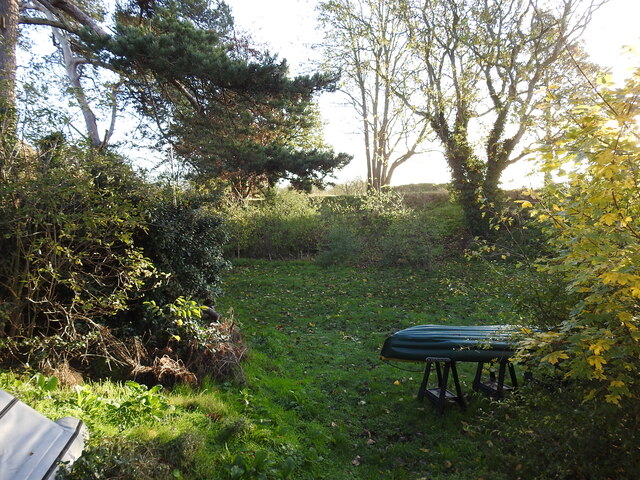
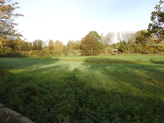
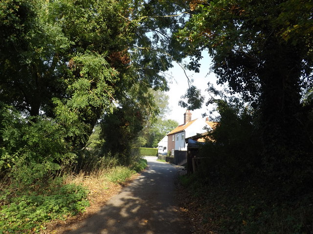
Chestnut Grove, Norfolk is a picturesque wood or forest located in the county of Norfolk, England. It is known for its dense canopy of chestnut trees, which provide a stunning display of vibrant autumn colors as well as a rich source of chestnuts during the harvest season.

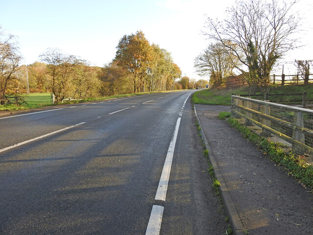
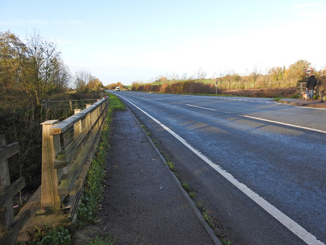
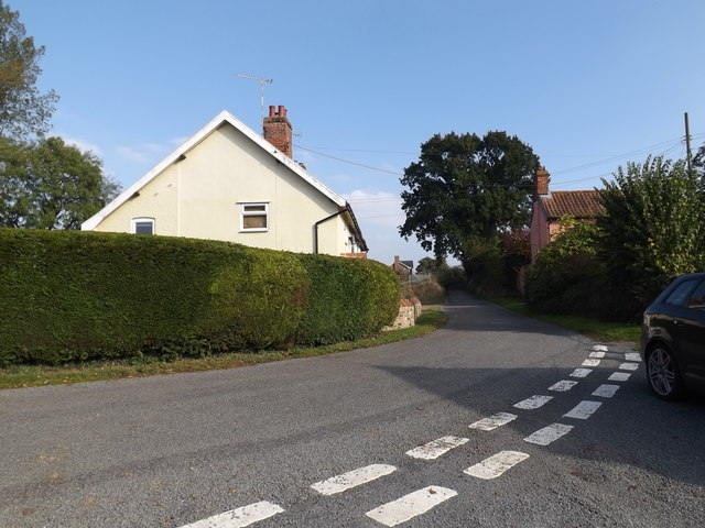
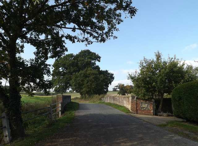
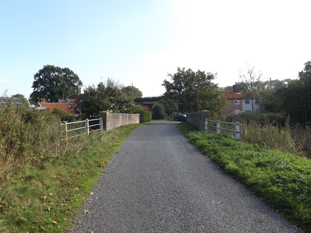
This woodland area covers approximately 50 acres, making it a relatively small but charming destination for nature enthusiasts and locals alike. The forest is easily accessible, with well-maintained footpaths and trails that wind through the trees, allowing visitors to explore the beauty of the natural surroundings.

Chestnut Grove is home to a diverse range of flora and fauna, providing a haven for wildlife such as squirrels, deer, and various bird species. The forest floor is carpeted with a thick layer of fallen leaves, creating a peaceful and serene atmosphere.

The wood is a popular spot for outdoor activities such as walking, hiking, and birdwatching. Its tranquil setting also makes it an ideal location for nature photography and painting enthusiasts, who can capture the changing seasons and the unique beauty of the forest.

Chestnut Grove, Norfolk is not only a haven for nature lovers but also an important ecological site, contributing to the overall biodiversity of the region. Its conservation and preservation are of paramount importance, ensuring that future generations can continue to enjoy the natural wonders it has to offer.

If you have any feedback on the listing, please let us know in the comments section below.

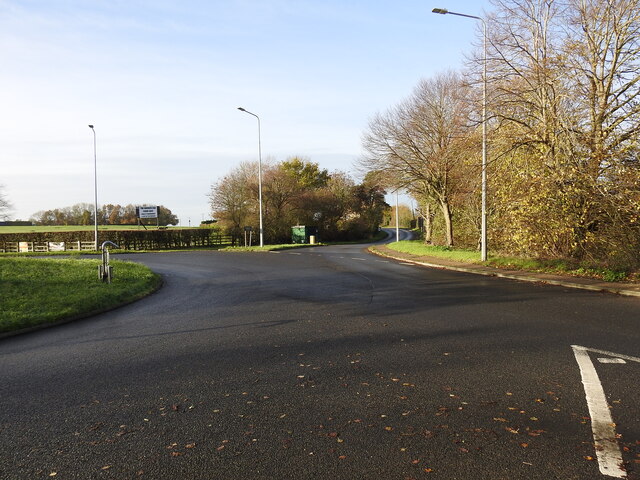
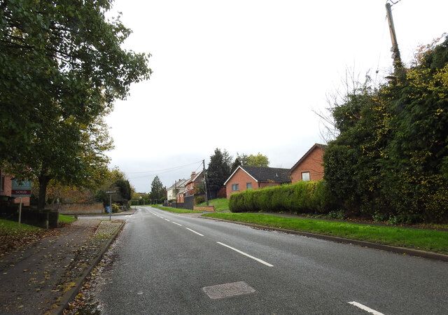
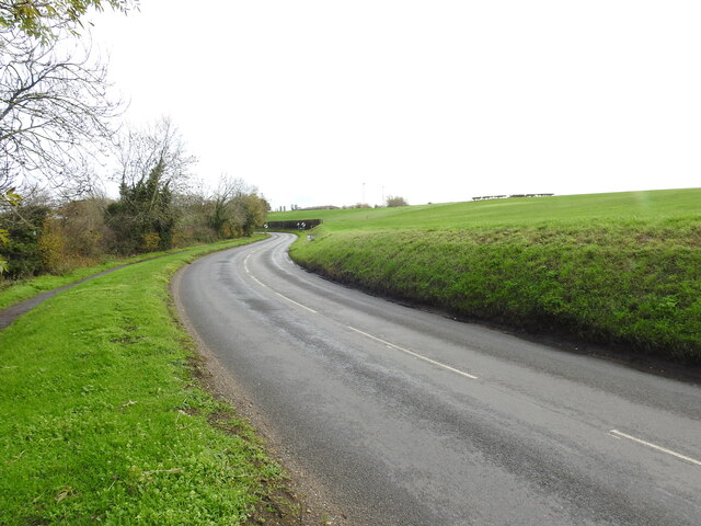
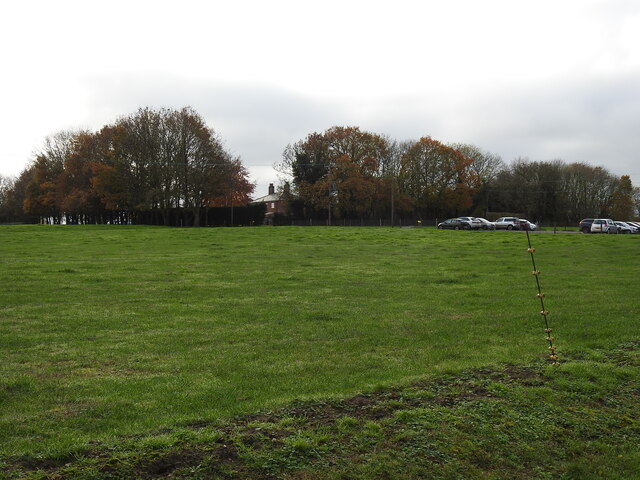
Chestnut Grove Images

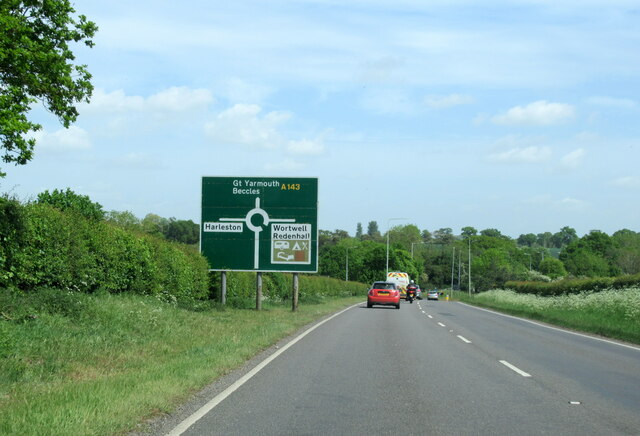
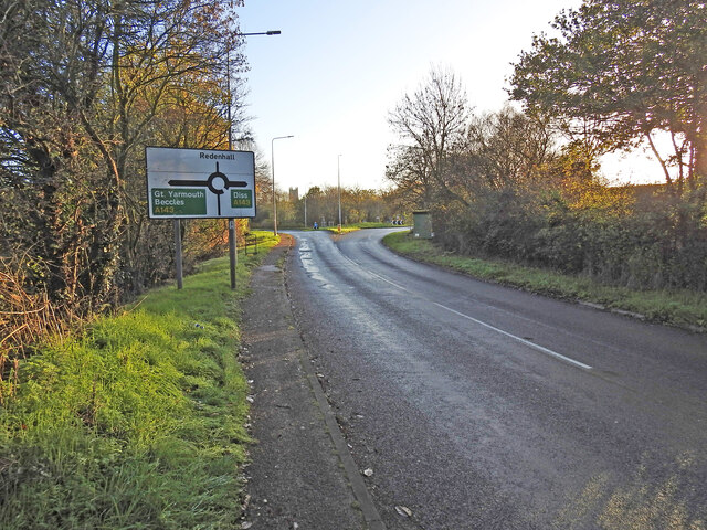
Images are sourced within 2km of 52.42316/1.312102 or Grid Reference TM2585. Thanks to Geograph Open Source API. All images are credited.

A143 east at the end of the Harleston by-pass
The site of the former Redenhall railway station Close to this point at the lower end of Church Road was the Redenhall railway station, built in 1861 and closed in 1866 as an economy measure and very few passengers and no freight facilities. It was 7½ miles from Tivetshall with a low platform 60 yards long. The station remained in use as a cottage for the gatekeeper. The Church Road crossing (designated No. 41) was immediately to the west of the station.
The A143 was built over 6¼ miles of the original track-bed between the former Ditchingham maltings and Redenhall roundabout.
The site of the former Redenhall railway station
Close to this point at the lower end of Church Road was the Redenhall railway station, built in 1861 and closed in 1866 as an economy measure and very few passengers and no freight facilities. It was 7½ miles from Tivetshall with a low platform 60 yards long. The station remained in use as a cottage for the gatekeeper. The Church Road crossing (designated No. 41) was immediately to the west of the station. The A143 was built over 6¼ miles of the original track-bed between the former Ditchingham maltings and Redenhall roundabout.
The embankment still remains in the garden This piece of the railway embankment is still extant and is indicative of the precise location of the railway bridge (No. 1181) which carried the line over Redenhall Road 670 yards (614 Metres) distant from the short lived Redenhall Station. see <a href="https://www.geograph.org.uk/photo/7349611">TM2684 : The site of the former Redenhall railway station</a>
The embankment still remains in the garden
This piece of the railway embankment is still extant and is indicative of the precise location of the railway bridge (No. 1181) which carried the line over Redenhall Road 670 yards (614 Metres) distant from the short lived Redenhall Station. see TM2684 : The site of the former Redenhall railway station
Location of the Redenhall Road girder bridge The bridge carried the WVR line diagonally over the Redenhall Road on an embankment which is still extant in the garden of Bridge House. The bridge which was designated No. 1181 was just over 7 miles distant from Tivetshall and only 670 yards distant from the short-lived Redenhall station which stood at the bottom of Church Lane. 
The bridge crossed the road between the green Telecom box and the second lamp-post. The embankment of the left side of the road was removed when the bridge was dismantled.
Location of the Redenhall Road girder bridge
The bridge carried the WVR line diagonally over the Redenhall Road on an embankment which is still extant in the garden of Bridge House. The bridge which was designated No. 1181 was just over 7 miles distant from Tivetshall and only 670 yards distant from the short-lived Redenhall station which stood at the bottom of Church Lane. The bridge crossed the road between the green Telecom box and the second lamp-post. The embankment of the left side of the road was removed when the bridge was dismantled.
The name-plate on Bridge House, Redenhall The railway embankment in the garden of Bridge House is still extant. <a href="https://www.geograph.org.uk/photo/7349991">TM2584 : The embankment still remains in the garden</a>
I am very grateful to the owner for his assistance in allowing me access and for additional information regarding the railway line.
The name-plate on Bridge House, Redenhall
The railway embankment in the garden of Bridge House is still extant. TM2584 : The embankment still remains in the garden I am very grateful to the owner for his assistance in allowing me access and for additional information regarding the railway line.
The approach to Redenhall Station The station at Redenhall was opened in January 1861 and closed in August 1866. Nevertheless the station building remained as a crossing keeper's cottage for the remaining years of the line. It would have stood close to the centre of this image which looks toward Wortwell station a short distance down the line.
The approach to Redenhall Station
The station at Redenhall was opened in January 1861 and closed in August 1866. Nevertheless the station building remained as a crossing keeper's cottage for the remaining years of the line. It would have stood close to the centre of this image which looks toward Wortwell station a short distance down the line.
By Redenhall Station, Harleston next stop The railway followed the line of the road from here, the site of the crossing (No. 41) over Dyke Bridge (No. 1184) and over Redenhall Road and on towards Harleston Station. No trace of the line or infrastructure remains here.
By Redenhall Station, Harleston next stop
The railway followed the line of the road from here, the site of the crossing (No. 41) over Dyke Bridge (No. 1184) and over Redenhall Road and on towards Harleston Station. No trace of the line or infrastructure remains here.
A bridge and underpass beneath Old Railway Road The bridge spans a drainage channel and was designated bridge #1182.
The occupational underpass was bridge #1183 is only a few yards to the right hidden in the trees.
The road was built on the original railway embankment but was diverted from the original trajectory left of this point to meet the original height of the road at the roundabout on the left of the picture. The railway continued on the embankment towards the girder bridge #1181 over Redenhall Road, whereas the road diverts either side of the track.
A bridge and underpass beneath Old Railway Road
The bridge spans a drainage channel and was designated bridge #1182. The occupational underpass was bridge #1183 is only a few yards to the right hidden in the trees. The road was built on the original railway embankment but was diverted from the original trajectory left of this point to meet the original height of the road at the roundabout on the left of the picture. The railway continued on the embankment towards the girder bridge #1181 over Redenhall Road, whereas the road diverts either side of the track.
The site of the former Redenhall railway bridge The line was on an embankment both sides of the road and passed over Redenhall Road on a girder bridge which stood where at the location of the green BT cabinet and the keep left bollard.
The embankment can still be seen in the garden of Bridge House.
The site of the former Redenhall railway bridge
The line was on an embankment both sides of the road and passed over Redenhall Road on a girder bridge which stood where at the location of the green BT cabinet and the keep left bollard. The embankment can still be seen in the garden of Bridge House.
Site of the former Redenhall Road girder bridge at Harleston The bridge, just a few yards from Harleston Station, (designated  No.1179) was a girder bridge on brick abutments, crossed the road diagonally where a house has since been erected on one side of the road and two bungalows on the other.
Site of the former Redenhall Road girder bridge at Harleston
The bridge, just a few yards from Harleston Station, (designated No.1179) was a girder bridge on brick abutments, crossed the road diagonally where a house has since been erected on one side of the road and two bungalows on the other.
Former WVR railway track ran  across this field The line would have left the embankment after the last bridge and entered a short cutting before returning to ground level across the field before once again going on to an embankment before crossing the next bridge and entering Harleston Station.
Former WVR railway track ran across this field
The line would have left the embankment after the last bridge and entered a short cutting before returning to ground level across the field before once again going on to an embankment before crossing the next bridge and entering Harleston Station.
A crossing over the railway line for the farm The train at this point was coming down off the embankment after last the bridge (No. 1181) and before a short cutting, an unmanned gated crossing for farmer's access across the line. The train continued across the field to the next bridge on the Harleston Road.
A crossing over the railway line for the farm
The train at this point was coming down off the embankment after last the bridge (No. 1181) and before a short cutting, an unmanned gated crossing for farmer's access across the line. The train continued across the field to the next bridge on the Harleston Road.
Redenhall Road, Redenhall At the junction with Hallwong Lane
Redenhall Road, Redenhall
At the junction with Hallwong Lane
Signpost on Redenhall Road At the junction with Hallwong Lane
Signpost on Redenhall Road
At the junction with Hallwong Lane
Hallwong Lane, Redenhall At the junction with Hallwong Lane & Redenhall Road
Hallwong Lane, Redenhall
At the junction with Hallwong Lane & Redenhall Road
Hallwong Lane, Redenhall At the junction with Hallwong Lane
Hallwong Lane, Redenhall
At the junction with Hallwong Lane
Bridge on Hallwong Lane At the junction with Hallwong Lane
Bridge on Hallwong Lane
At the junction with Hallwong Lane
Bridge on Hallwong Lane At the junction with Hallwong Lane
Bridge on Hallwong Lane
At the junction with Hallwong Lane
Show me another place!

Chestnut Grove is located at Grid Ref: TM2585 (Lat: 52.42316, Lng: 1.312102)

Administrative County: Norfolk

District: South Norfolk

Police Authority: Norfolk

What 3 Words

///reckoned.eventful.classic. Near Harleston, Norfolk

Related Wikis

Gawdyhall Big Wood, Harleston

Gawdyhall Big Wood, Harleston is a 29.8-hectare (74-acre) biological Site of Special Scientific Interest north of Harleston in Norfolk.This ancient wood...

Redenhall railway station

Redenhall was a station in the small hamlet of Redenhall, Norfolk. It was opened in 1861 as part of the Waveney Valley Line between Tivetshall and Beccles...

Church of the Assumption of the Blessed Virgin Mary, Redenhall

The Church of the Assumption of the Blessed Virgin Mary, Redenhall (St. Mary's Church) is a Grade I listed parish church in the Church of England in Redenhall...

Alburgh

Alburgh is a village and civil parish in the English county of Norfolk. It lies about four miles (6 km) north-east of Harleston and 16 miles (26 km) south...

Have you been to Chestnut Grove?

Leave your review of Chestnut Grove below (or comments, questions and feedback).