Beeston with Bittering

Civil Parish in Norfolk Breckland

England

Beeston with Bittering

Pasture beside Herne Lane The houses seen in the background occupy part of the area where the WAAF campsite  was located when RAF Wendling was an active airfield during WW2.
Pasture beside Herne Lane Credit: Evelyn Simak

Beeston with Bittering is a civil parish located in the Breckland district of Norfolk, England. It is situated approximately 16 kilometers (10 miles) southwest of the market town of Dereham and covers an area of around 15 square kilometers (6 square miles). The parish is predominantly rural, characterized by agricultural land and small hamlets.

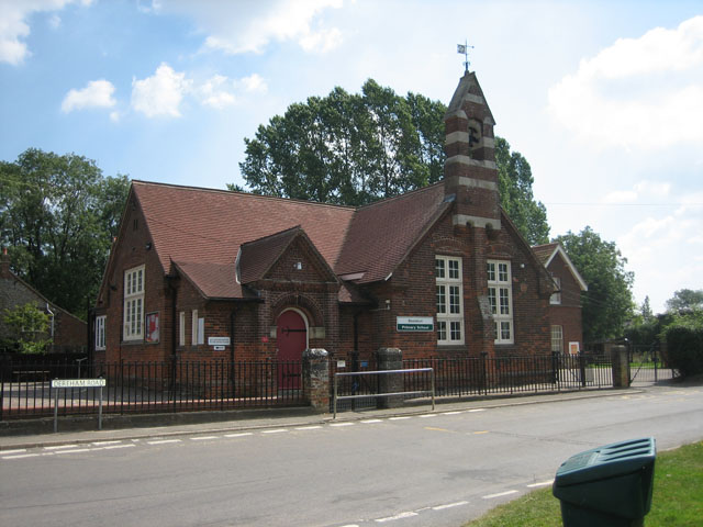
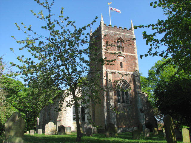
The parish is made up of two villages, Beeston and Bittering. Beeston, the larger of the two, is a picturesque village with a population of around 500 people. It features a charming church, St Mary's, which dates back to the 14th century and is known for its beautiful stained glass windows. The village also has a primary school, a village hall, and a pub, providing essential amenities for its residents.

Bittering, on the other hand, is a smaller settlement with a population of around 150 people. It is known for its tranquil countryside and peaceful atmosphere. The village has a small church, St Margaret's, which adds to its historical and cultural appeal.

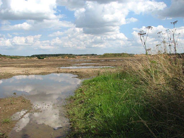
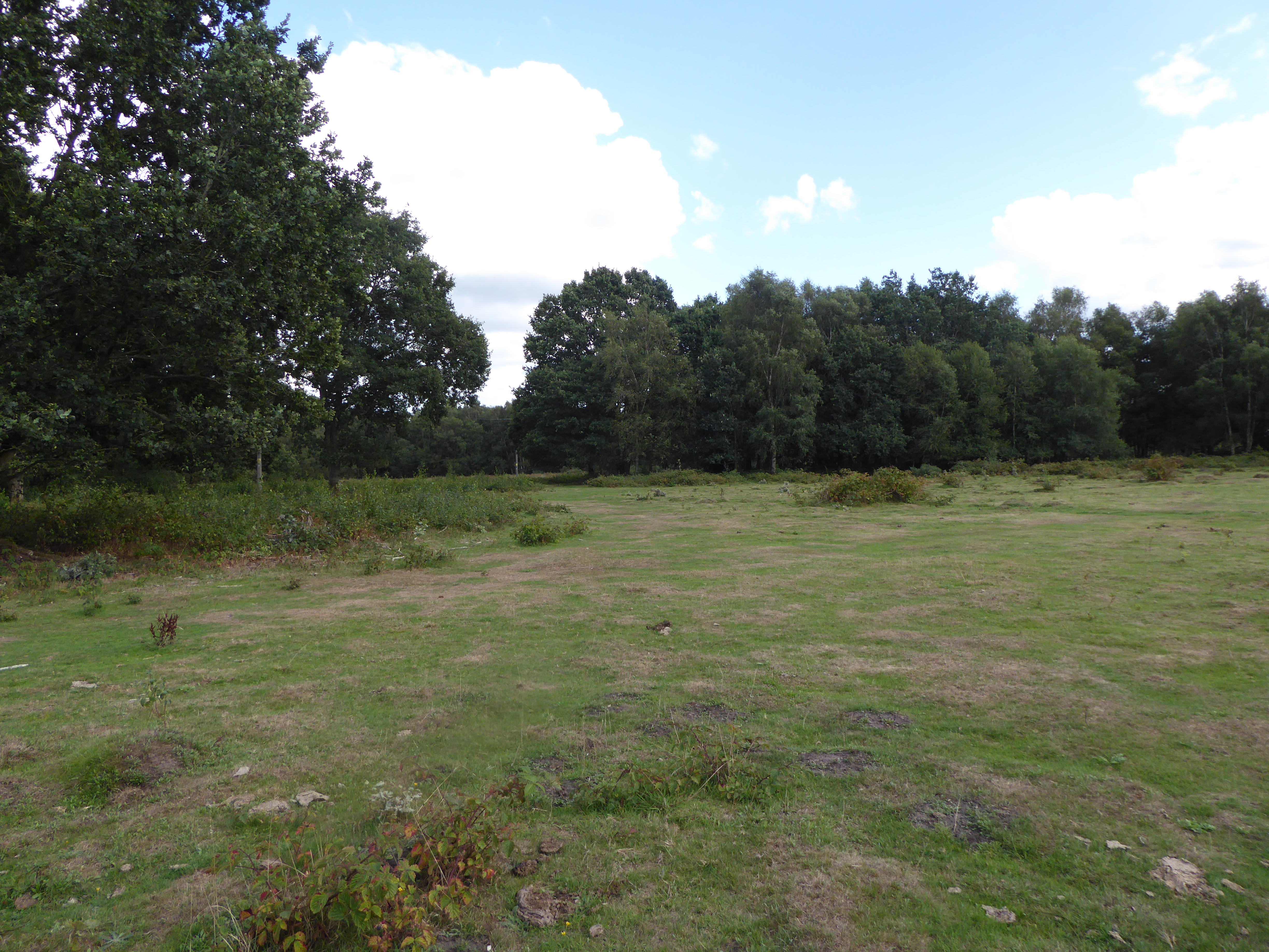
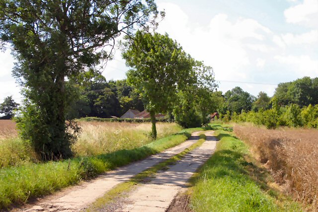
Both Beeston and Bittering are surrounded by rolling countryside, offering scenic views and opportunities for outdoor activities like walking and cycling. The area is also home to several nature reserves, including the nearby Hoe Common, which provides habitats for a variety of wildlife.

Overall, Beeston with Bittering is a peaceful and idyllic civil parish that offers a rural lifestyle with easy access to nearby towns and amenities. It is a place known for its natural beauty, community spirit, and rich historical heritage.

If you have any feedback on the listing, please let us know in the comments section below.

Beeston with Bittering Images

Images are sourced within 2km of 52.708833/0.827654 or Grid Reference TF9116. Thanks to Geograph Open Source API. All images are credited.

Pasture beside Herne Lane The houses seen in the background occupy part of the area where the WAAF campsite  was located when RAF Wendling was an active airfield during WW2.
Pasture beside Herne Lane
The houses seen in the background occupy part of the area where the WAAF campsite was located when RAF Wendling was an active airfield during WW2.
Piebald in pasture beside Herne Lane The wooded area seen at left was part of the WAAF camp when RAF Wendling was an active airfield during WW2.
Piebald in pasture beside Herne Lane
The wooded area seen at left was part of the WAAF camp when RAF Wendling was an active airfield during WW2.
Pasture beside Herne Lane
Memorial for USAAF Station 118 Wendling The text reads: 

"The 392nd Bomb Group 8th Air Force US Army Air Forces Station 118 Wendling in honour of 747 airmen who gave their lives and all who served with them at this base July 1943 to June 1945."
Memorial for USAAF Station 118 Wendling
The text reads: "The 392nd Bomb Group 8th Air Force US Army Air Forces Station 118 Wendling in honour of 747 airmen who gave their lives and all who served with them at this base July 1943 to June 1945."
Industrial units off Dereham Road These industrial premises occupy part of the former Communal site of RAF Wendling when it was an active airfield during WW2.
Industrial units off Dereham Road
These industrial premises occupy part of the former Communal site of RAF Wendling when it was an active airfield during WW2.
Industrial units off Dereham Road The units occupy part of the Communal site of RAF Wendling when it was an active airfield during WW2.
Industrial units off Dereham Road
The units occupy part of the Communal site of RAF Wendling when it was an active airfield during WW2.
Industrial units off Dereham Road The units occupy part of the Communal site of RAF Wendling when it was an active airfield during WW2.
Industrial units off Dereham Road
The units occupy part of the Communal site of RAF Wendling when it was an active airfield during WW2.
New housing off Dereham Road
Cottages in Dereham Road
Behind locked gates
Behind locked gates
Dereham Road/Syers Lane junction The building seen at left used to be the Beeston Village General Stores and Post Office > <a title="https://www.geograph.org.uk/photo/522988" href="https://www.geograph.org.uk/photo/522988">Link</a>.
Dereham Road/Syers Lane junction
The building seen at left used to be the Beeston Village General Stores and Post Office > Link.
The former Beeston Village General Stores and Post Office
K6 telephone kiosk by the former Post Office
Disused George V postbox In the wall of the former Beeston Village General Stores and Post Office, now closed.
Disused George V postbox
In the wall of the former Beeston Village General Stores and Post Office, now closed.
Beeston primary school
Show me another place!

Beeston with Bittering is located at Grid Ref: TF9116 (Lat: 52.708833, Lng: 0.827654)

Administrative County: Norfolk

District: Breckland

Police Authority: Norfolk

What 3 Words

///rewrites.beside.shack. Near Necton, Norfolk

Nearby Locations

Beeston with Bittering

Related Wikis

Nearby Amenities

Located within 500m of 52.708833,0.827654
Beeston
Alt Name: Beeston All Saints;Beeston-next-Mileham
Place: village
Wikidata: Q4880136
Lat/Long: 52.7082005/0.8264523
Bus Stop
Craft and Model Store, adj
Naptan AtcoCode: 2900B193
Naptan Bearing: E
Naptan BusStopType: CUS
Naptan CommonName: Craft and Model Store
Naptan Indicator: adj
Naptan Locality: Beeston
Naptan NaptanCode: nfoadtja
Naptan Street: Chapel Lane
Naptan Verified: no
Source: naptan_import
Lat/Long: 52.7067221/0.8240275
Bus Stop
Craft and Model Store, opp
Naptan AtcoCode: 2900B195
Naptan Bearing: W
Naptan BusStopType: CUS
Naptan CommonName: Craft and Model Store
Naptan Indicator: opp
Naptan Locality: Beeston
Naptan NaptanCode: nfoadtjg
Naptan Street: Chapel Lane
Naptan Verified: no
Source: naptan_import
Lat/Long: 52.7065767/0.8240921
Post Office
Beeston Mobile Post Office Service
Addr City: King's Lynn
Addr Country: GB
Addr Housename: Near Chapel Lane
Addr Postcode: PE32 2NG
Addr Street: Dereham Road
Addr Suburb: Beeston
Brand: Post Office
Brand Wikidata: Q1783168
Contact Website: https://www.postoffice.co.uk/branch-finder/7131313/beeston-mobile-service
Fixme: Check location
Opening Hours: Tu 13:30-14:30
Ref Pol Id: 136600
Source: pol_branch_list_2018-01
Lat/Long: 52.7069158/0.8244119
EDP Norfolk Village of the Year
Inscription: Eastern Daily Press / Pride in Norfolk Awards Competition / 2005 / WINNER / Villages Under 900 Population
Man Made: village_sign
Material: wood
Lat/Long: 52.7067502/0.824495
Post Box
Operator: Royal Mail
Post Box Type: wall
Lat/Long: 52.7067616/0.8243484
Give Way
Lat/Long: 52.7066802/0.8244011
Give Way
Lat/Long: 52.7066562/0.8245073
Beeston
Inscription: 392 / DG / 392d B.G. / The Crusaders / Jem Mace
Man Made: village_sign
Material: metal
Lat/Long: 52.7064097/0.8244011
Bench
Backrest: yes
Lat/Long: 52.7064983/0.8243515
Board Type: notice
Information: board
Tourism: information
Lat/Long: 52.7065609/0.8243729
Grit Bin
Colour: green
Lat/Long: 52.7065527/0.8244158
Crossing
Crossing: unmarked
Tactile Paving: yes
Lat/Long: 52.7065424/0.8245007
The data included in this document is from www.openstreetmap.org. The data is made available under ODbL.

Have you been to Beeston with Bittering?

Leave your review of Beeston with Bittering below (or comments, questions and feedback).