Beetham
Civil Parish in Westmorland South Lakeland
England
Beetham
Beetham is a civil parish situated in the district of South Lakeland, Cumbria, in the northwest region of England. It is located approximately 7 miles north of Carnforth and 9 miles south of Kendal, nestled in the picturesque countryside of Westmorland.
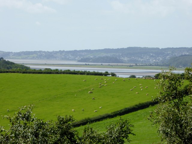
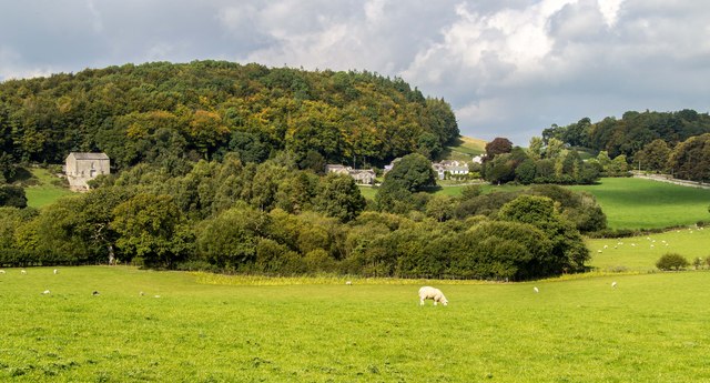
The parish covers an area of about 10 square kilometers and has a population of around 500 residents. Beetham is known for its charming rural setting and its close proximity to the stunning Lake District National Park, making it an attractive destination for tourists and nature enthusiasts.
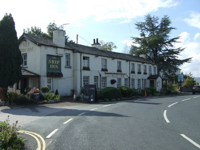
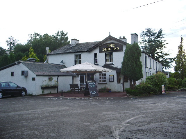
The village itself is characterized by its traditional stone buildings, including the Grade I listed St. Michael's Church, which dates back to the 12th century and is renowned for its beautiful stained glass windows. Beetham also boasts a small primary school, a village hall, and a local pub.
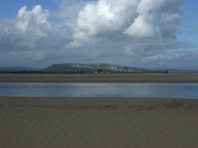
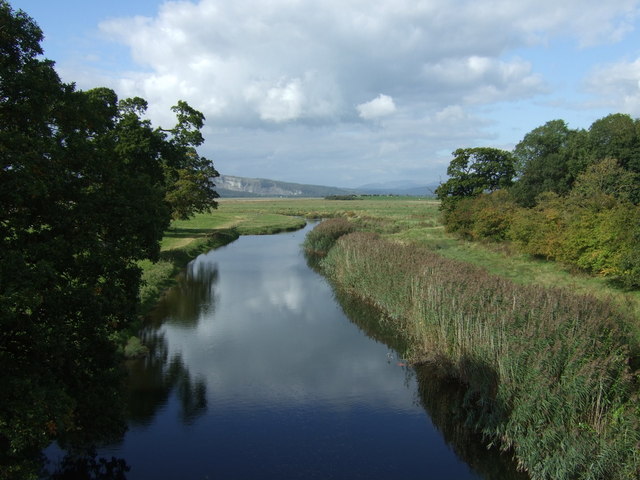
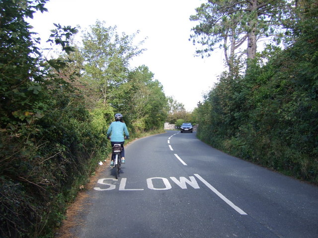
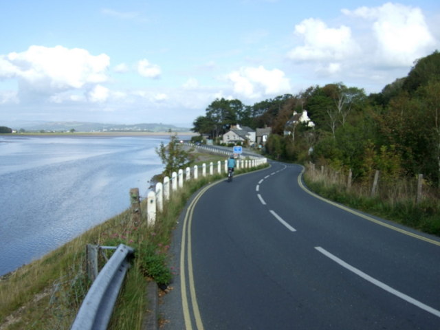
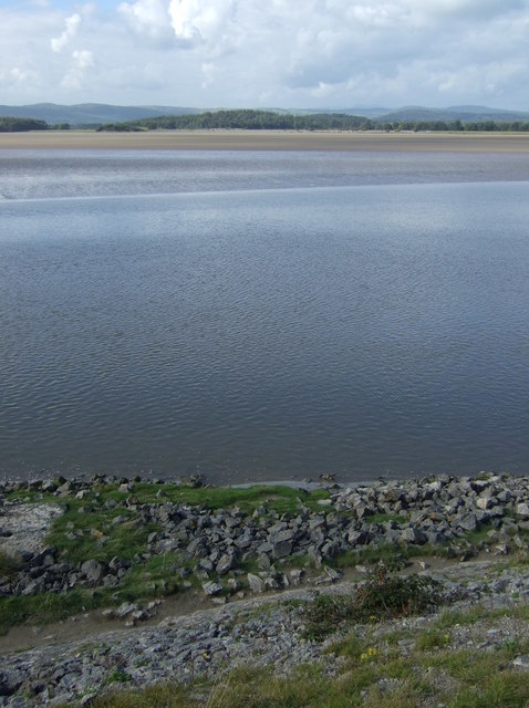
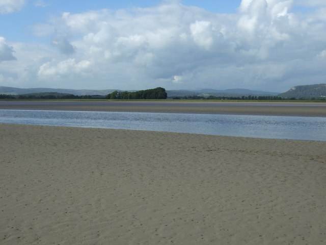
The surrounding countryside offers numerous opportunities for outdoor activities such as hiking, cycling, and birdwatching. The nearby River Bela provides a tranquil spot for fishing and picnicking. Additionally, the village is home to the popular Beetham Nurseries, a garden center and café that attracts visitors from near and far.
Overall, Beetham is a charming and idyllic village, offering a peaceful retreat for residents and visitors alike, with its rich history, natural beauty, and warm community spirit.
If you have any feedback on the listing, please let us know in the comments section below.
Beetham Images
Images are sourced within 2km of 54.21827/-2.809216 or Grid Reference SD4780. Thanks to Geograph Open Source API. All images are credited.
Beetham is located at Grid Ref: SD4780 (Lat: 54.21827, Lng: -2.809216)
Administrative County: Cumbria
District: South Lakeland
Police Authority: Cumbria
What 3 Words
///flags.verb.reverses. Near Arnside, Cumbria
Related Wikis
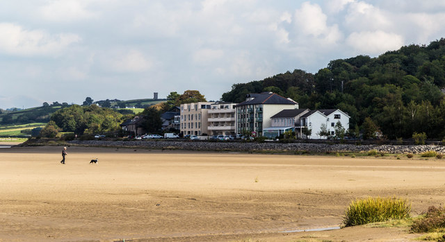
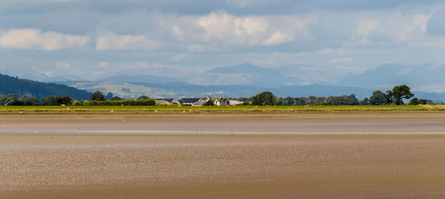
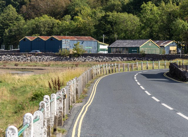
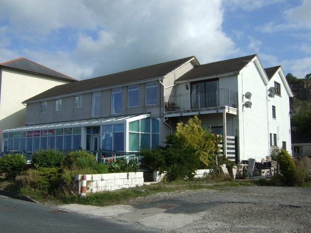
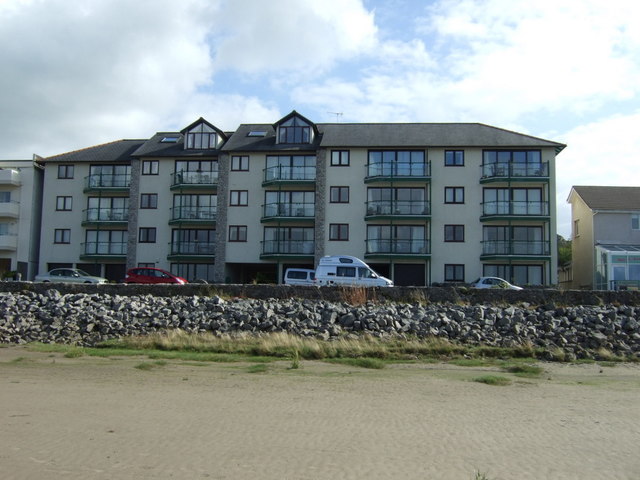
Sandside, Beetham
Sandside is a hamlet near Storth in Beetham parish, South Lakeland, Cumbria, England. Historically in Westmorland, it lies on the south shore of the estuary...

Sandside railway station
Sandside was a railway station situated on the Hincaster Branch of the Furness Railway serving the hamlet and quarries of Sandside. The following station...

Dog Hole Cave
Dog Hole Cave is an archaeologically significant cave near Storth, Cumbria, England. Other names for the cave include Haverbrack Bank Pot, Haverbrack Dog...

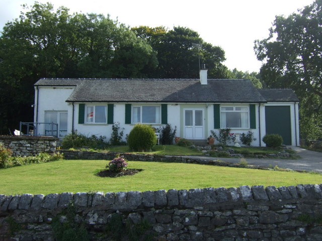
Carr Bank
Carr Bank is a small hamlet near Arnside, Cumbria, England. It is in the civil parish of Beetham in South Lakeland local government district. == References... ==

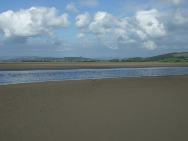
River Bela
The River Bela is a short (approximately 4 miles (6.5 km)) river in the county of Cumbria, England. It is in the ancient county of Westmorland. The river...
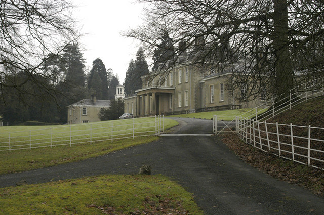
Dallam Tower
Dallam Tower is a grade I listed country house in Beetham parish, near Milnthorpe, South Lakeland, Cumbria, England. It is a member of the Historic Houses...

Hazelslack
Hazelslack is a hamlet in the South Lakeland district, in the English county of Cumbria. It is near the villages of Arnside and Storth. Nearby Hazelslack...
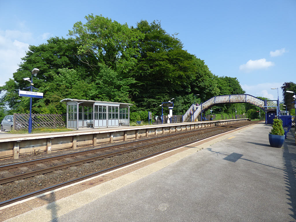
Arnside railway station
Arnside is a railway station on the Furness Line, which runs between Barrow-in-Furness and Lancaster. The station, situated 12+1⁄4 miles (20 km) north...
Nearby Amenities
Located within 500m of 54.21827,-2.809216Have you been to Beetham?
Leave your review of Beetham below (or comments, questions and feedback).