Beeston Regis

Civil Parish in Norfolk North Norfolk

England

Beeston Regis

Lifeboat mural, Sheringham Part of the Sheringham Art and Sculpture Trail. With an attendant Turnstone, as there often is in Sheringham.
Lifeboat mural, Sheringham Credit: Hugh Venables

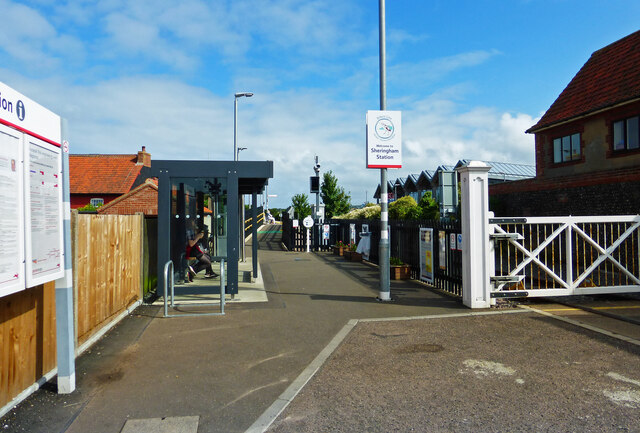
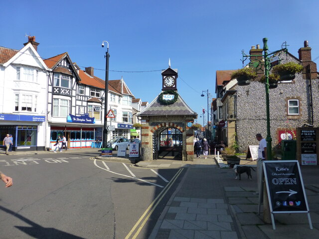
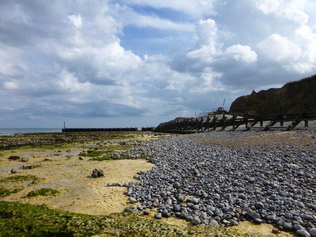
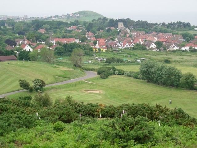
Beeston Regis is a civil parish located in the county of Norfolk, England. Situated on the North Norfolk Coast, it lies approximately 1.5 miles east of the popular seaside town of Sheringham and 2 miles west of Cromer. The parish covers an area of around 3 square miles and has a population of approximately 1,000 people.

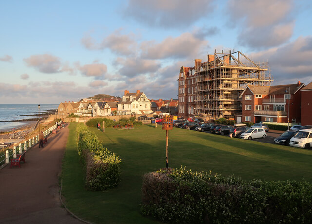
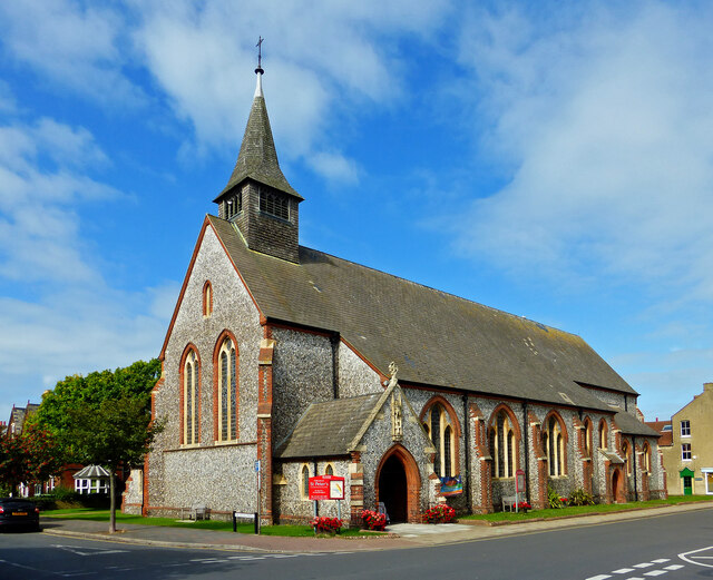
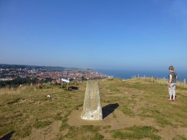
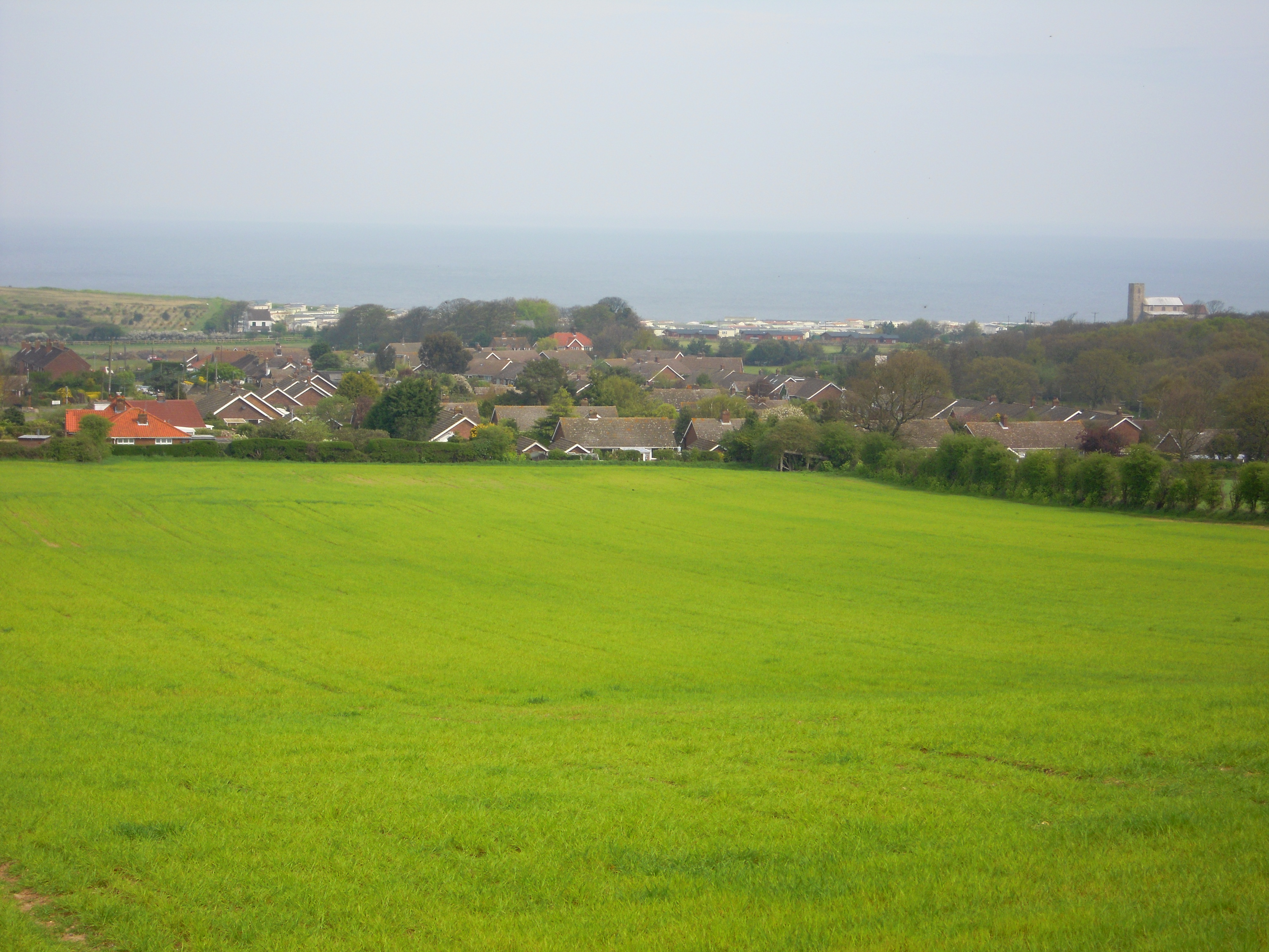
The village of Beeston Regis is known for its picturesque setting, surrounded by beautiful countryside and close to the stunning Norfolk coastline. It is home to a mix of traditional Norfolk cottages and more modern houses, providing a charming and diverse housing stock.

The village has a rich history, with evidence of human settlement dating back to prehistoric times. It was once an important center for agriculture and fishing. Today, it is a popular destination for tourists and visitors, attracted by its natural beauty and proximity to the coast.

Key landmarks in Beeston Regis include the ruins of St. Mary's Priory, a 12th-century Augustinian priory that was dissolved during the Reformation. The priory is a Grade I listed building and is open to the public. The village also has a village hall, a primary school, and a church, as well as a range of amenities such as shops, pubs, and restaurants.

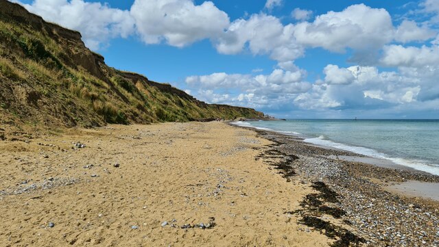
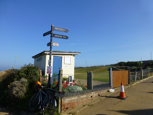
Beeston Regis offers a range of outdoor activities, including walking along the Norfolk Coast Path, birdwatching at nearby nature reserves, or enjoying the sandy beaches and clear waters of the North Sea. It is a peaceful and idyllic place to live or visit, offering a perfect blend of history, natural beauty, and community spirit.

If you have any feedback on the listing, please let us know in the comments section below.

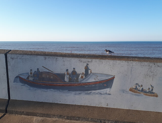
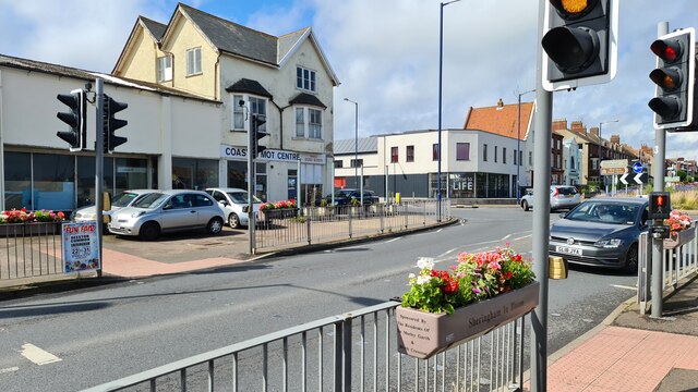
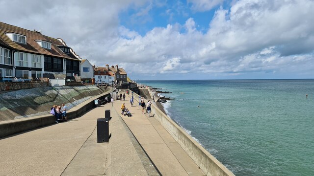
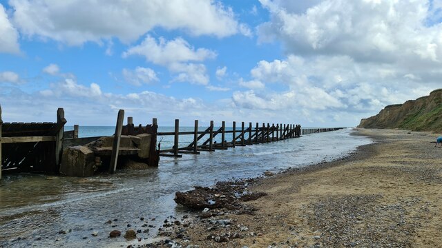
Beeston Regis Images

Images are sourced within 2km of 52.932541/1.22825 or Grid Reference TG1742. Thanks to Geograph Open Source API. All images are credited.

Lifeboat mural, Sheringham Part of the Sheringham Art and Sculpture Trail. With an attendant Turnstone, as there often is in Sheringham.
Lifeboat mural, Sheringham
Part of the Sheringham Art and Sculpture Trail. With an attendant Turnstone, as there often is in Sheringham.
Cromer Road, Sheringham Floral decorations on pedestrian crossing, Sheringham in Bloom
Cromer Road, Sheringham
Floral decorations on pedestrian crossing, Sheringham in Bloom
Sheringham sea front, looking west
Old revetments at Sheringham No longer preventing further coastal erosion
Old revetments at Sheringham
No longer preventing further coastal erosion
Old revetments at West Runton Looking west
Old revetments at West Runton
Looking west
Beach at West Runton
West Runton station
West Runton station
Seafront at Sheringham With the Burlington Hotel work looking much like it did a year before due to planning issues. A recent, partly retrospective, planning application for changes has been rejected. See <a href="https://www.geograph.org.uk/photo/6572535">TG1543 : Converting the Burlington Hotel</a>
Seafront at Sheringham
With the Burlington Hotel work looking much like it did a year before due to planning issues. A recent, partly retrospective, planning application for changes has been rejected. See TG1543 : Converting the Burlington Hotel
Sheringham Station The national network station lies across the road from the North Norfolk Railway station. Sheringham is the end point for both lines. Potentially, the NNR trains could continue to Cromer.
Sheringham Station
The national network station lies across the road from the North Norfolk Railway station. Sheringham is the end point for both lines. Potentially, the NNR trains could continue to Cromer.
At St Peter's, Sheringham Detail of the carving above the door at St Peter's Church in central Sheringham.
At St Peter's, Sheringham
Detail of the carving above the door at St Peter's Church in central Sheringham.
St Peter's Church Located in central Sheringham near the railway station.
St Peter's Church
Located in central Sheringham near the railway station.
Coastal Path finger post A putting green and ramp down to the seafront is at the start of the climb to Beeston Bump
Coastal Path finger post
A putting green and ramp down to the seafront is at the start of the climb to Beeston Bump
Beeston Bump trig pillar
Sheringham High Street
Groyne on shoreline at West Runton
Lake at holiday park on the Norfolk Coastal Path
Platform view New road as seen from the platform of the mainline station.
Platform view
New road as seen from the platform of the mainline station.
Einstein on the beach (take 2) The mural shown in this picture from 2013 <a href="https://www.geograph.org.uk/photo/3619485">TG1543 : Einstein on the beach</a> has been repainted and this time incorporates Einstein the dog from the "Back to the Future" movies
Einstein on the beach (take 2)
The mural shown in this picture from 2013 TG1543 : Einstein on the beach has been repainted and this time incorporates Einstein the dog from the "Back to the Future" movies
Show me another place!

Beeston Regis is located at Grid Ref: TG1742 (Lat: 52.932541, Lng: 1.22825)

Administrative County: Norfolk

District: North Norfolk

Police Authority: Norfolk

What 3 Words

///kennels.micro.topples. Near Sheringham, Norfolk

Related Wikis

Beeston Regis

Beeston Regis is a village and civil parish in the North Norfolk district of Norfolk, England. It is about a mile (2 km) east of Sheringham, Norfolk and...

Sheringham and Beeston Regis Commons

Sheringham and Beeston Regis Commons is a 24.9-hectare (62-acre) biological Site of Special Scientific Interest in Sheringham in Norfolk. It is a Nature...

Beeston Hall School

Beeston Hall School is an independent day and boarding preparatory school for boys and girls in the village of Beeston Regis, Norfolk, England. Founded...

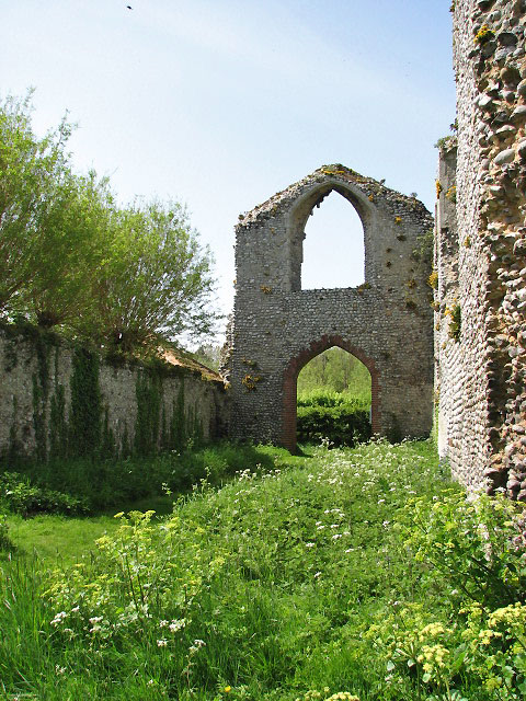
Priory of St Mary in the Meadow, Beeston Regis

The Priory of St Mary in the Meadow, also known as Beeston Priory is a former Augustinian Priory, located in the village of Beeston Regis, Norfolk, United...

Briton's Lane Gravel Pit

Briton's Lane Gravel Pit is a 21.5-hectare (53-acre) geological Site of Special Scientific Interest east of Sheringham in Norfolk. It is a Geological...
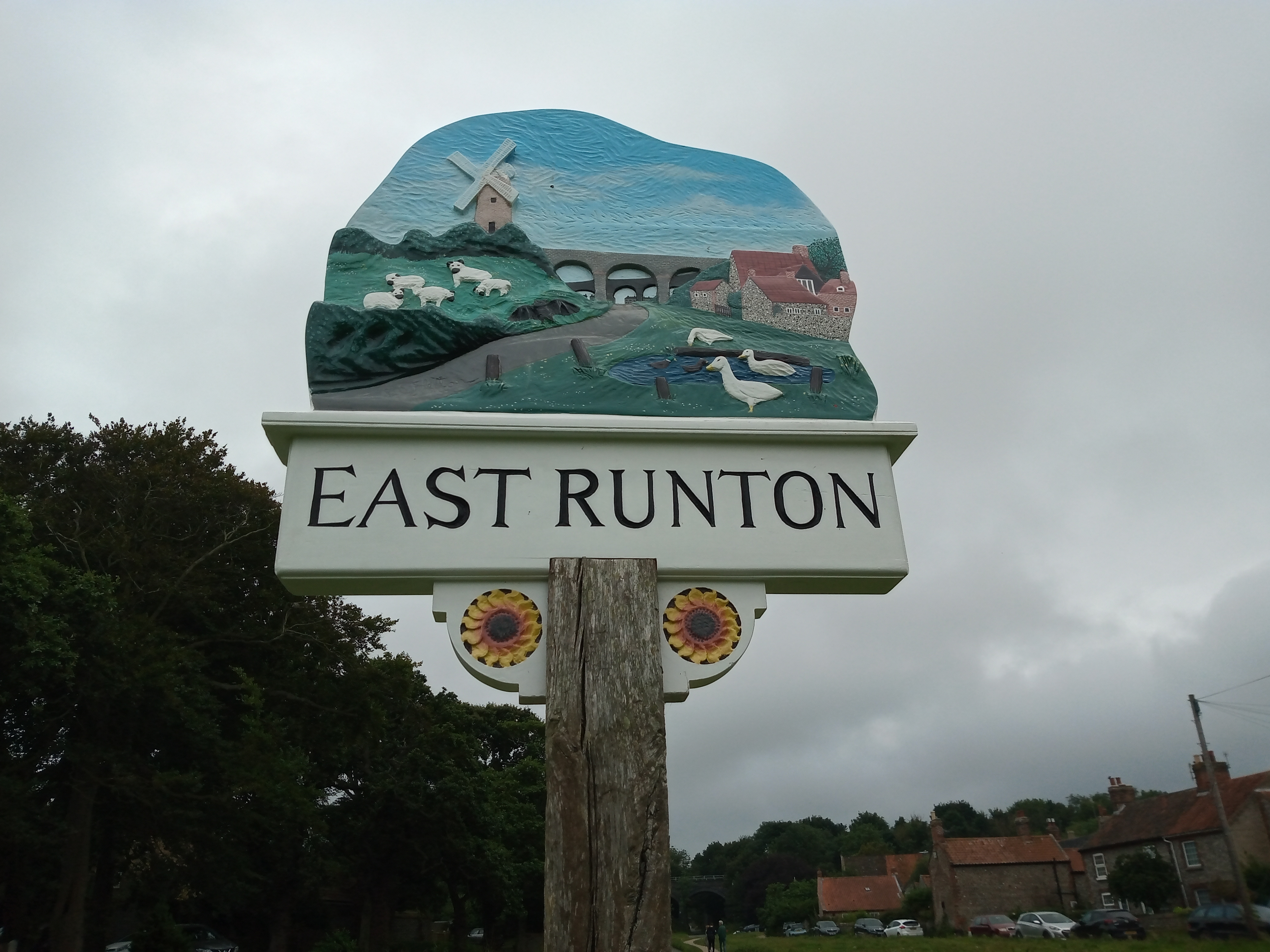
East Runton

East Runton is a small village in Norfolk, England situated close to the North Sea. It was once a traditional fishing village outside Cromer but is now...
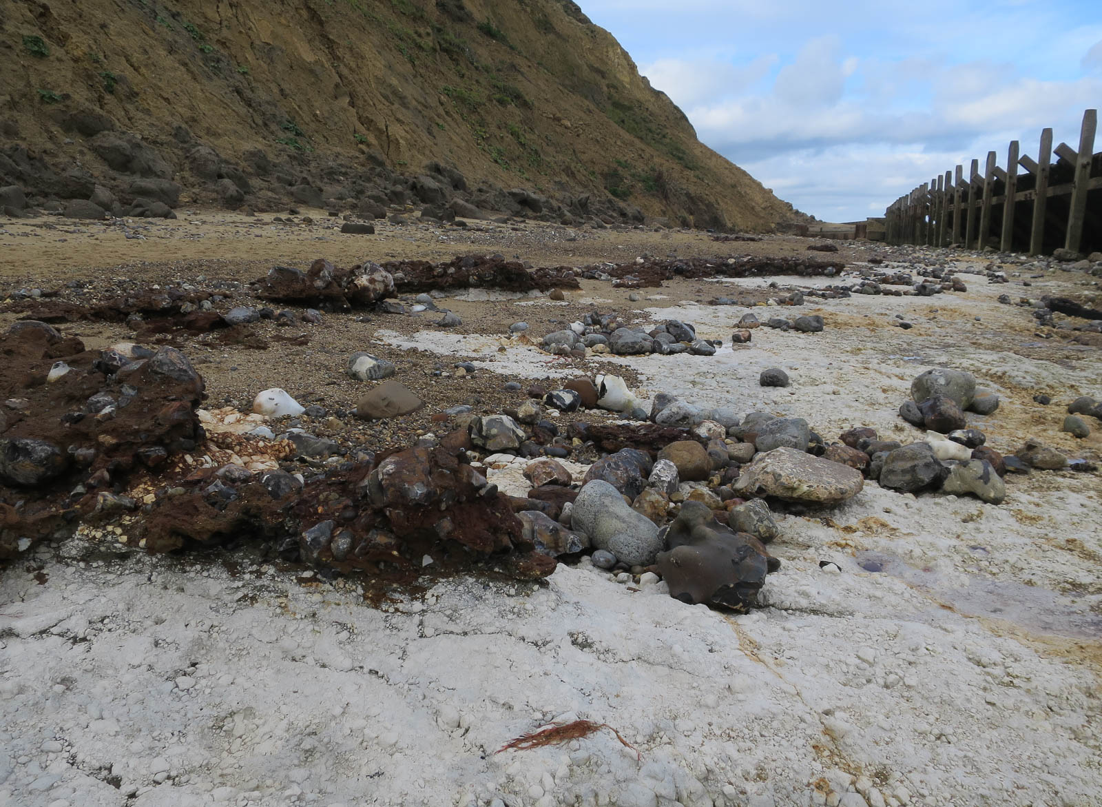
Beeston Cliffs

Beeston Cliffs is a 10.3-hectare (25-acre) biological and geological Site of Special Scientific Interest in Sheringham in Norfolk. It is a Geological Conservation...
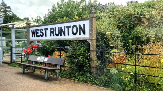
West Runton

West Runton is a village in North Norfolk, England, on the North Sea coast. == Toponymy == The villages name means either, Runa's farm/settlement' or...

Nearby Amenities

Located within 500m of 52.932541,1.22825
Bus Stop
Britons Lane, adj
Bus: yes
Naptan AtcoCode: 2900B205
Naptan Bearing: SW
Naptan CommonName: Britons Lane
Naptan Indicator: adj
Naptan Landmark: bus shelter
Naptan Locality: Beeston Regis
Naptan NaptanCode: nfoadtmd
Naptan ShortCommonName: Britons Ln
Naptan Street: Cromer Road
Naptan Verified: no
Public Transport: platform
Shelter: yes
Source: naptan_import
Lat/Long: 52.9368361/1.2269993
Tourism: viewpoint
Lat/Long: 52.9298208/1.2277927
Post Box
Britons Lane
Brand: Royal Mail
Brand Wikidata: Q638098
Collection Times: Mo-Fr 09:00; Sa 07:00; Su off
Operator: Royal Mail
Operator Wikidata: Q638098
Post Box Type: pillar
Ref: NR26 2619D
Royal Cypher: EIIR
Royal Cypher Wikidata: Q33102113
Lat/Long: 52.9369404/1.2276814
Post Box
Lat/Long: 52.933885/1.2238083
Post Box
Britons Lane
Collection Times: Mo-Fr 16:30; Sa 07:30; Su off
Operator: Royal Mail
Post Box Type: lamp
Ref: NR26 2612
Royal Cypher: EIIR
Royal Cypher Wikidata: Q33102113
Lat/Long: 52.9326779/1.2264047
Waste Basket
Lat/Long: 52.9365385/1.2276881
Beeston Regis Heath
Place: locality
Lat/Long: 52.9294894/1.2317806
Note: way continues
Lat/Long: 52.9289785/1.2314888
Note: way continues
Lat/Long: 52.929214/1.2310158
Bench
Backrest: yes
Material: wood
Lat/Long: 52.9345366/1.2272675
Beeston Regis
Inscription: 1100 - 2000
Man Made: village_sign
Material: metal
Start Date: 2000
Lat/Long: 52.9344808/1.2272434
Beeston Regis
Historic: memorial
Inscription: 1100 - 2000
Memorial: plaque
Lat/Long: 52.9368504/1.2270848
Give Way
Lat/Long: 52.934618/1.2274046
Information: route_marker
Operator: National Trust
Tourism: information
Lat/Long: 52.9297864/1.2278018
Bench
Backrest: no
Lat/Long: 52.9298116/1.2278509
Give Way
Lat/Long: 52.9357014/1.2245183
Give Way
Lat/Long: 52.9338477/1.2239836
Give Way
Lat/Long: 52.9332022/1.221817
Noexit: yes
Lat/Long: 52.934189/1.2221982
Give Way
Lat/Long: 52.9343535/1.2238664
Give Way
Lat/Long: 52.9350176/1.2239832
Bench
Backrest: yes
Lat/Long: 52.933502/1.2217299
Defibrillator
Access: yes
Booth: KX100
Covered: booth
Defibrillator Location: inside old phone box at north end of Briton's Lane
Disused Amenity: telephone
Emergency: defibrillator
Man Made: telephone_box
Ref GB The Circuit: 32B0495A-961D-475E-83FC-B13500B97917
Lat/Long: 52.9369422/1.2280196
The data included in this document is from www.openstreetmap.org. The data is made available under ODbL.

Have you been to Beeston Regis?

Leave your review of Beeston Regis below (or comments, questions and feedback).