Abington Pigotts
Civil Parish in Cambridgeshire South Cambridgeshire
England
Abington Pigotts
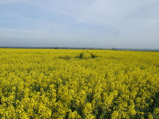
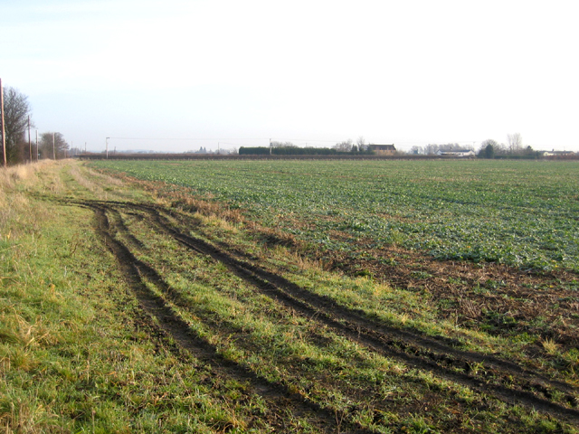
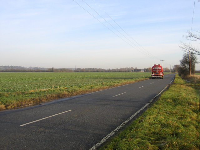
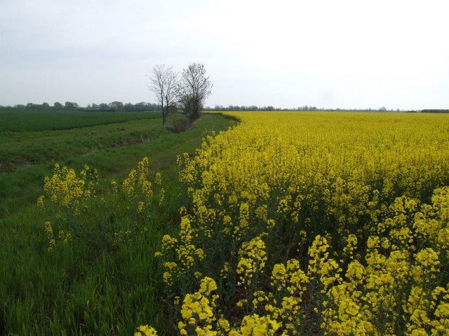
Abington Pigotts is a small civil parish located in the county of Cambridgeshire, England. It is situated approximately 15 miles southwest of the city of Cambridge and covers an area of around 1.5 square miles. The parish is surrounded by picturesque countryside, characterized by rolling hills and farmland.
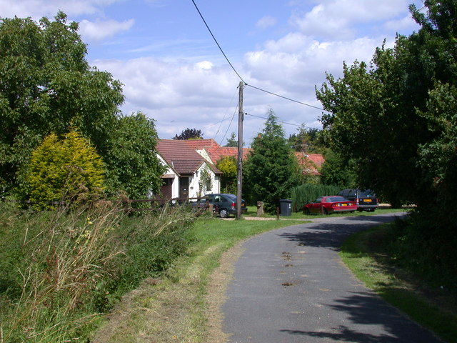
The village of Abington Pigotts itself is a quaint and charming settlement, with a population of around 200 residents. It is known for its traditional thatched cottages and historic buildings, giving it a distinctive rural English atmosphere. The centerpiece of the village is the St. Michael and All Angels Church, a beautiful Grade II listed building dating back to the 12th century.
Despite its small size, Abington Pigotts has a strong sense of community. It has a village hall that serves as a social hub, hosting various events and activities throughout the year. The parish also has a primary school, providing education for the local children.
The surrounding area offers plenty of opportunities for outdoor activities such as walking, cycling, and horse riding. There are several footpaths and bridleways that crisscross the countryside, allowing residents and visitors to explore the scenic landscape.
Overall, Abington Pigotts is a peaceful and idyllic civil parish that offers a tranquil retreat from the bustle of nearby urban areas. Its rich history, natural beauty, and close-knit community make it a desirable place to live or visit for those seeking a quintessential English village experience.
If you have any feedback on the listing, please let us know in the comments section below.
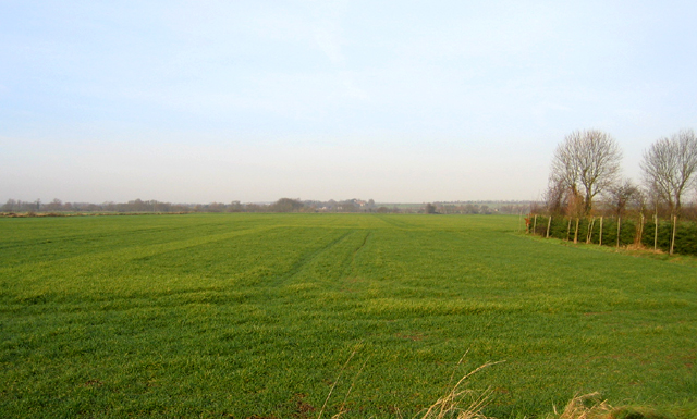
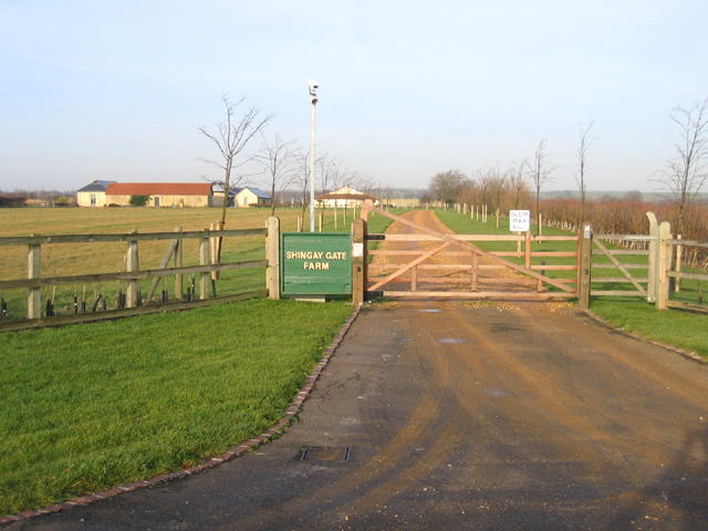
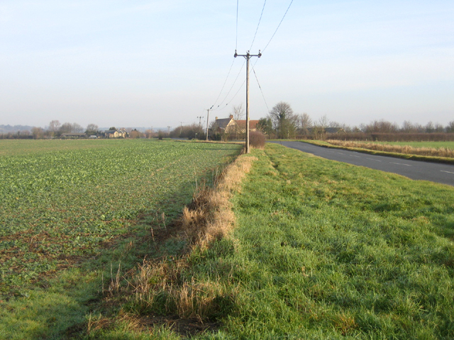
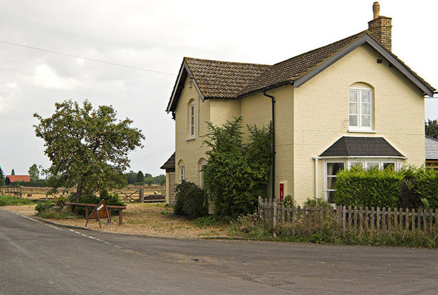
Abington Pigotts Images
Images are sourced within 2km of 52.086623/-0.097551 or Grid Reference TL3044. Thanks to Geograph Open Source API. All images are credited.


Abington Pigotts is located at Grid Ref: TL3044 (Lat: 52.086623, Lng: -0.097551)
Administrative County: Cambridgeshire
District: South Cambridgeshire
Police Authority: Cambridgeshire
What 3 Words
///starters.bags.cowering. Near Bassingbourn, Cambridgeshire
Nearby Locations
Related Wikis

Abington Pigotts
Abington Pigotts is a small village in Cambridgeshire, England about 4 miles (6 km) northwest of Royston, Hertfordshire. == History == The parish of Abington...

Shingay
Shingay is a hamlet and former civil parish, now in the parish of Shingay cum Wendy, in the South Cambridgeshire district, in the county of Cambridgeshire...

Litlington, Cambridgeshire
Litlington is a village and civil parish in the East of England region and the county of Cambridgeshire in the United Kingdom. The village lies approximately...

Guilden Morden
Guilden Morden, England, is a village and parish located in Cambridgeshire about 16 miles (26 km) south west of Cambridge and 9 miles (14 km) west of Royston...

Shingay Preceptory
Shingay Preceptory was a Knights Hospitaller priory at Shingay in Cambridgeshire, England. It was established in 1144. The moated site is a scheduled ancient...
Shingay cum Wendy
Shingay cum Wendy is a civil parish in the English county of Cambridgeshire, around 5 miles (8 km) north west of Royston. Forming part of the district...
Bassingbourn cum Kneesworth
Bassingbourn cum Kneesworth is a civil parish in the South Cambridgeshire district of Cambridgeshire, England, 14 miles south-west of Cambridge and just...
Bassingbourn Village College
Bassingbourn Village College is an academy school in Bassingbourn, just across the Cambridgeshire border from Royston, Hertfordshire. It currently has...
Nearby Amenities
Located within 500m of 52.086623,-0.097551Have you been to Abington Pigotts?
Leave your review of Abington Pigotts below (or comments, questions and feedback).