Bibles Grove
Wood, Forest in Cambridgeshire South Cambridgeshire
England
Bibles Grove
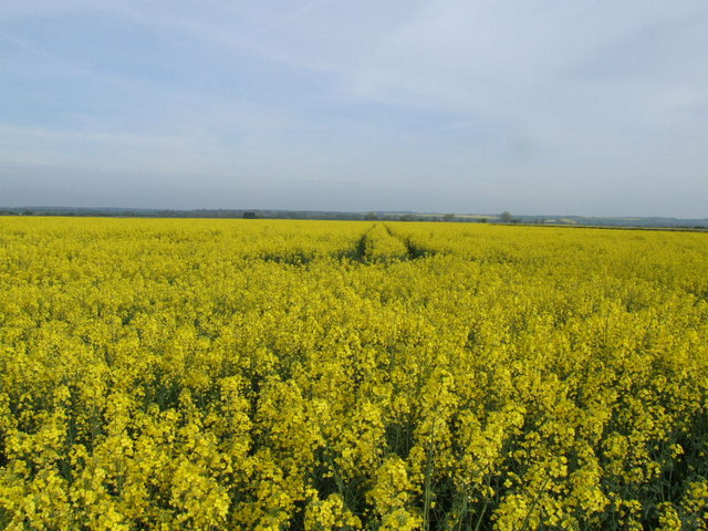
Bibles Grove is a picturesque woodland located in the county of Cambridgeshire in the eastern part of England. Covering an area of approximately 50 acres, this serene forest is nestled amidst the rolling countryside, offering visitors a tranquil escape from the bustling city life.
The grove is characterized by its thick canopy of towering trees, predominantly oak and ash, which create a dense and shaded environment. The woodland floor is adorned with a diverse array of flora, including wildflowers, ferns, and mosses, adding to the natural beauty of the area.
Bibles Grove is home to a variety of wildlife, making it a popular spot for nature enthusiasts and birdwatchers. Visitors may spot woodland birds such as woodpeckers, owls, and thrushes flitting among the branches, while smaller mammals like foxes, squirrels, and rabbits can be seen foraging on the forest floor.
Traversing the grove, visitors will find a network of well-marked walking trails, allowing them to explore the woodland at their own pace. These trails wind through the forest, leading to hidden clearings, babbling brooks, and even a small pond, providing ample opportunities for peaceful reflection and relaxation.
Bibles Grove also boasts a rich history, with evidence of human habitation dating back centuries. Archaeological finds in the area have included ancient pottery fragments and tools, indicating human activity in the vicinity since the Neolithic period.
Overall, Bibles Grove offers a serene and enchanting woodland experience, with its diverse wildlife, scenic trails, and rich history making it a must-visit destination for nature lovers and history enthusiasts alike.
If you have any feedback on the listing, please let us know in the comments section below.
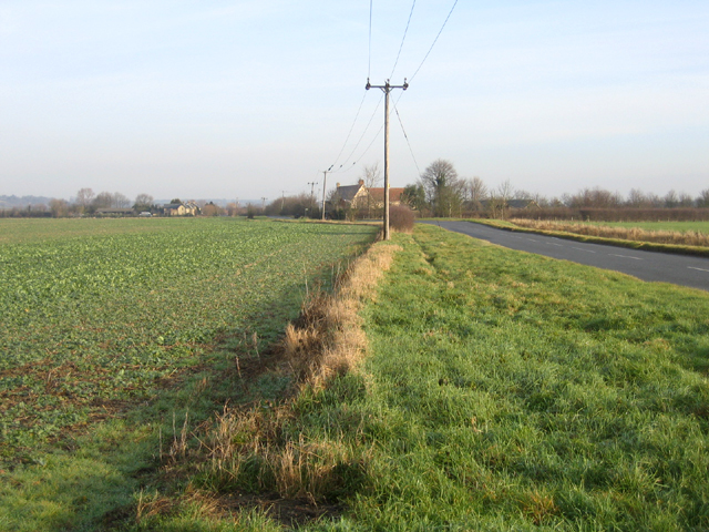
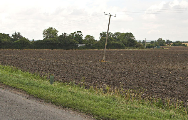
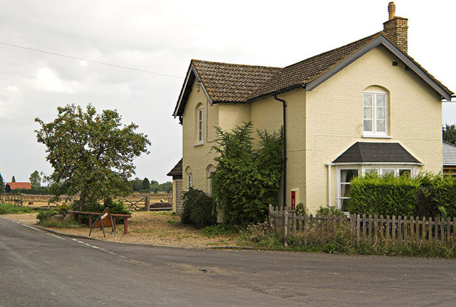
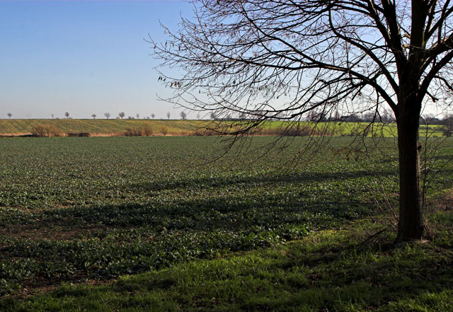
Bibles Grove Images
Images are sourced within 2km of 52.081186/-0.10132554 or Grid Reference TL3044. Thanks to Geograph Open Source API. All images are credited.


Bibles Grove is located at Grid Ref: TL3044 (Lat: 52.081186, Lng: -0.10132554)
Administrative County: Cambridgeshire
District: South Cambridgeshire
Police Authority: Cambridgeshire
What 3 Words
///replied.nosedive.mixing. Near Bassingbourn, Cambridgeshire
Nearby Locations
Related Wikis

Abington Pigotts
Abington Pigotts is a small village in Cambridgeshire, England about 4 miles (6 km) northwest of Royston, Hertfordshire. == History == The parish of Abington...

Litlington, Cambridgeshire
Litlington is a village and civil parish in the East of England region and the county of Cambridgeshire in the United Kingdom. The village lies approximately...

Guilden Morden
Guilden Morden, England, is a village and parish located in Cambridgeshire about 16 miles (26 km) south west of Cambridge and 9 miles (14 km) west of Royston...

Steeple Morden
Steeple Morden is a village and civil parish in Cambridgeshire, England, about 15 miles (24 km) south west of Cambridge and 5 miles (8 km) west of Royston...
Shingay
Shingay is a hamlet and former civil parish, now in the parish of Shingay cum Wendy, in the South Cambridgeshire district, in the county of Cambridgeshire...

Bassingbourn cum Kneesworth
Bassingbourn cum Kneesworth is a civil parish in the South Cambridgeshire district of Cambridgeshire, England, 14 miles south-west of Cambridge and just...
Bassingbourn Village College
Bassingbourn Village College is an academy school in Bassingbourn, just across the Cambridgeshire border from Royston, Hertfordshire. It currently has...
Shingay Preceptory
Shingay Preceptory was a Knights Hospitaller priory at Shingay in Cambridgeshire, England. It was established in 1144. The moated site is a scheduled ancient...
Nearby Amenities
Located within 500m of 52.081186,-0.10132554Have you been to Bibles Grove?
Leave your review of Bibles Grove below (or comments, questions and feedback).