Abington Pigotts
Settlement in Cambridgeshire South Cambridgeshire
England
Abington Pigotts
Abington Pigotts is a small village located in the county of Cambridgeshire, England. Situated approximately 14 miles south-west of the city of Cambridge, it falls within the South Cambridgeshire district. With a population of around 250 residents, it is a close-knit community known for its rural charm and picturesque surroundings.
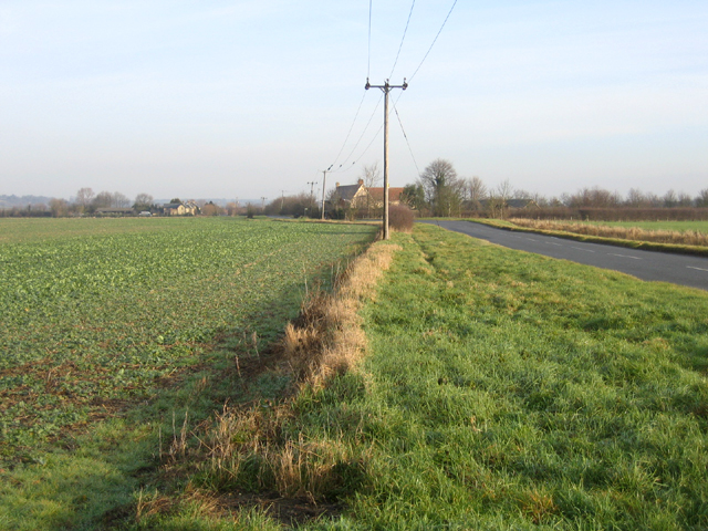
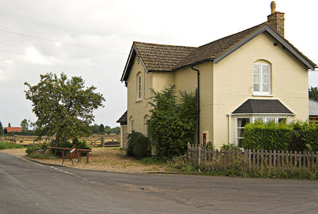
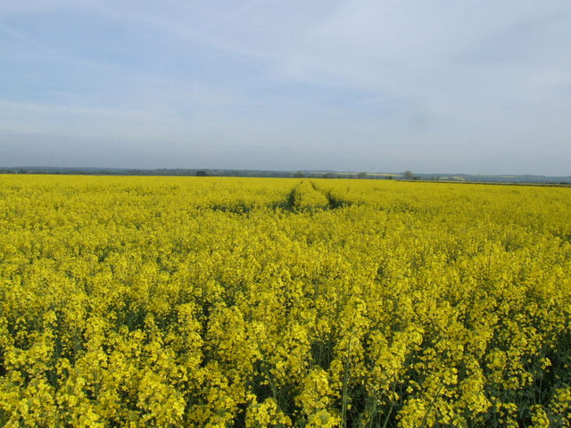
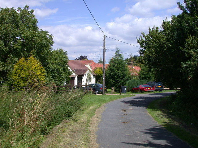
The village is characterized by its quaint thatched cottages, traditional English gardens, and idyllic countryside landscapes. Nestled amidst rolling hills and vast farmlands, Abington Pigotts offers a peaceful and tranquil setting for its residents. The village is surrounded by open fields, providing ample opportunities for outdoor activities such as walking, cycling, and horse riding.
Despite its small size, Abington Pigotts has a rich history that can be traced back to medieval times. The St. Michael & All Angels Church, a Grade II listed building, stands as a testament to its historical significance. The church dates back to the 13th century, showcasing stunning architectural features and serving as a place of worship for the local community.
While Abington Pigotts does not have its own school or shops, it benefits from its proximity to nearby towns and villages. The village is well-connected by road, with the A1198 providing easy access to surrounding areas. Additionally, the nearby train stations of Royston and Ashwell & Morden offer convenient transportation links to larger cities.
In conclusion, Abington Pigotts is a charming village in Cambridgeshire, known for its peaceful atmosphere, beautiful landscapes, and historical heritage. It offers a quiet retreat from the bustle of city life while providing easy access to amenities and transport connections.
If you have any feedback on the listing, please let us know in the comments section below.
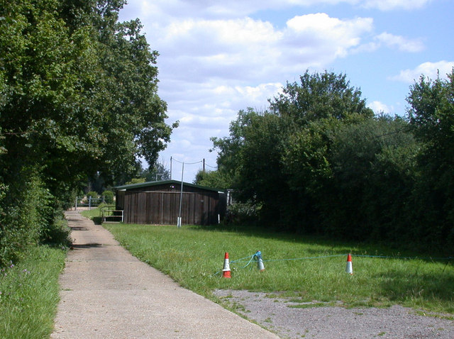
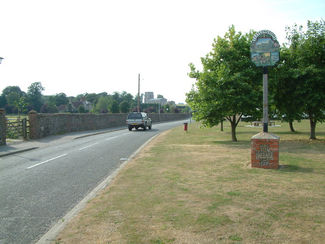
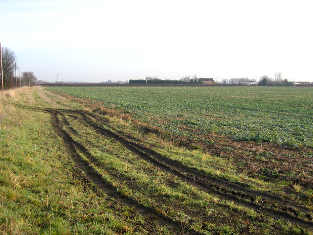
Abington Pigotts Images
Images are sourced within 2km of 52.083215/-0.093683 or Grid Reference TL3044. Thanks to Geograph Open Source API. All images are credited.


Abington Pigotts is located at Grid Ref: TL3044 (Lat: 52.083215, Lng: -0.093683)
Administrative County: Cambridgeshire
District: South Cambridgeshire
Police Authority: Cambridgeshire
What 3 Words
///mimed.sheepish.campfires. Near Bassingbourn, Cambridgeshire
Nearby Locations
Related Wikis

Abington Pigotts
Abington Pigotts is a small village in Cambridgeshire, England about 4 miles (6 km) northwest of Royston, Hertfordshire. == History == The parish of Abington...

Litlington, Cambridgeshire
Litlington is a village and civil parish in the East of England region and the county of Cambridgeshire in the United Kingdom. The village lies approximately...
Shingay
Shingay is a hamlet and former civil parish, now in the parish of Shingay cum Wendy, in the South Cambridgeshire district, in the county of Cambridgeshire...

Bassingbourn cum Kneesworth
Bassingbourn cum Kneesworth is a civil parish in the South Cambridgeshire district of Cambridgeshire, England, 14 miles south-west of Cambridge and just...
Bassingbourn Village College
Bassingbourn Village College is an academy school in Bassingbourn, just across the Cambridgeshire border from Royston, Hertfordshire. It currently has...

Guilden Morden
Guilden Morden, England, is a village and parish located in Cambridgeshire about 16 miles (26 km) south west of Cambridge and 9 miles (14 km) west of Royston...
Shingay cum Wendy
Shingay cum Wendy is a civil parish in the English county of Cambridgeshire, around 5 miles (8 km) north west of Royston. Forming part of the district...
Shingay Preceptory
Shingay Preceptory was a Knights Hospitaller priory at Shingay in Cambridgeshire, England. It was established in 1144. The moated site is a scheduled ancient...
Related Videos
How soon before the wedding should we organise fittings for my groomsmen?
AskChimney Chimney Menswear explains when is the ideal time to arrange fittings for the groomsmen. Advice on when not to ...

South Farm Wedding Film | Jenna & Travis 2022 | Hertfordshire Wedding Videographer
Discover More https://www.andrewcollin.co.uk/ SOUTH FARM WEDDING VIDEO Andrew Collin Films is a recommended supplier ...
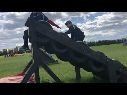
Bassingbourn Obstacle Training Ground -April 2021
What me and daddy table the obstacle course.
Nearby Amenities
Located within 500m of 52.083215,-0.093683Have you been to Abington Pigotts?
Leave your review of Abington Pigotts below (or comments, questions and feedback).