Abington

Settlement in Northamptonshire

England

Abington

A45 southbound
A45 southbound Credit: Alex McGregor

Abington is a charming village located in the county of Northamptonshire, England. Situated just a few miles north of the bustling town of Northampton, Abington offers a tranquil and picturesque setting away from the urban bustle. With its rich history, beautiful landscapes, and a tight-knit community, the village is an attractive destination for both residents and visitors alike.

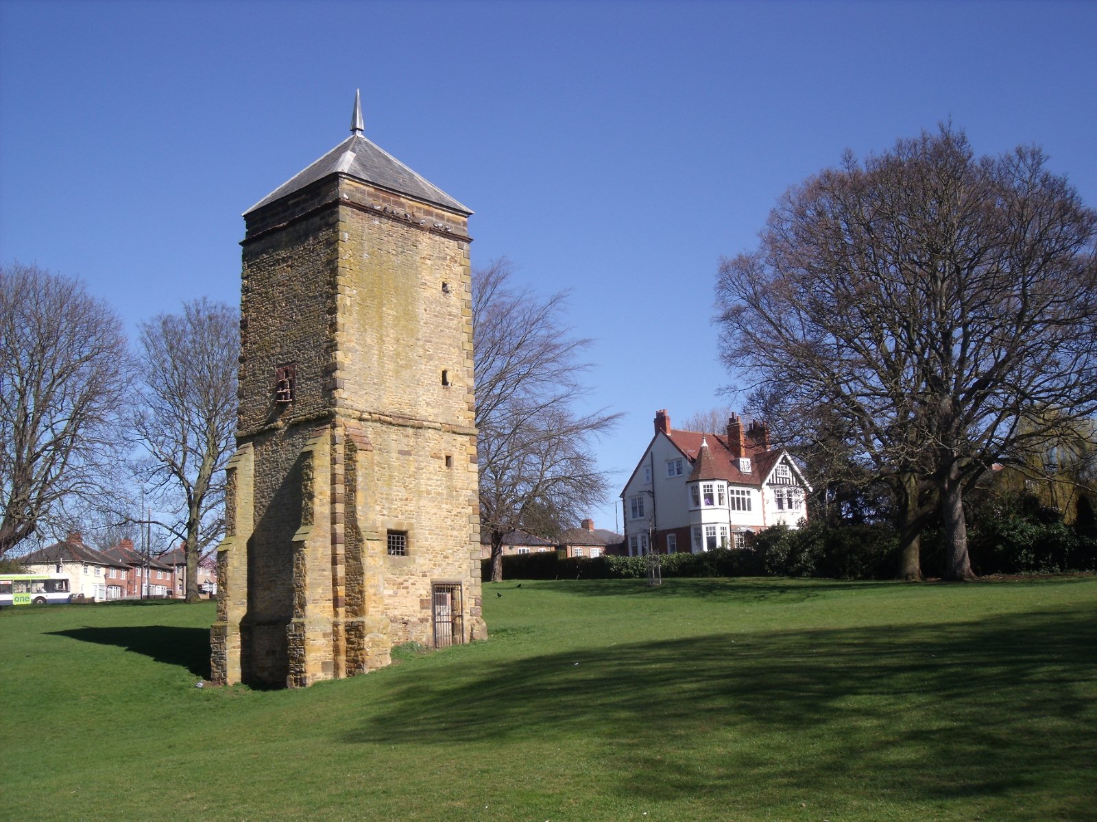
The village is renowned for its stunning Abington Park, a 15th-century manor house surrounded by meticulously maintained gardens and green spaces. The park also houses a museum, which showcases the area's history and offers a fascinating insight into the village's past. Abington Park is a popular spot for picnics, leisurely walks, and outdoor activities, attracting locals and tourists throughout the year.

Abington boasts a range of amenities, including a primary school, a village hall, and several local shops and businesses. The village is well-connected, with easy access to nearby towns and cities via major road networks. Additionally, public transportation options are readily available, making commuting to surrounding areas convenient.

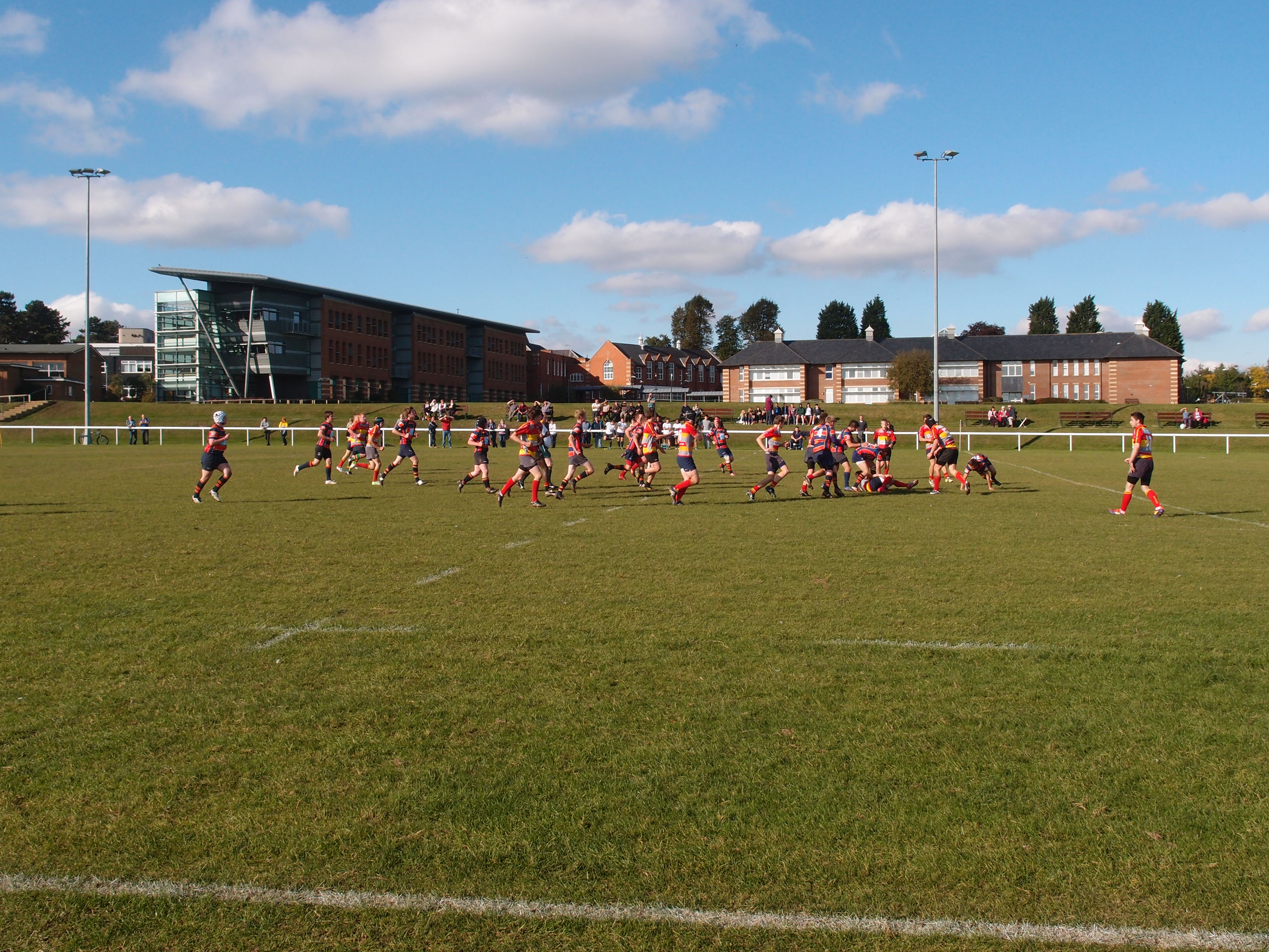
The community spirit is strong in Abington, with various social and recreational groups actively engaging residents. The village regularly hosts events such as summer fairs, music festivals, and sports tournaments, fostering a sense of togetherness among its inhabitants.

Despite its tranquil atmosphere, Abington offers easy access to a range of amenities and attractions. The nearby town of Northampton provides excellent shopping, dining, and entertainment options, while the beautiful Northamptonshire countryside offers opportunities for outdoor pursuits such as hiking, cycling, and horse riding.

Overall, Abington is a delightful village that combines historical charm, natural beauty, and a strong community spirit, making it a truly appealing place to live or visit.

If you have any feedback on the listing, please let us know in the comments section below.

Abington Images

Images are sourced within 2km of 52.249419/-0.864587 or Grid Reference SP7761. Thanks to Geograph Open Source API. All images are credited.

A45 southbound
A45 southbound
A45 westbound
A45 westbound
A45 westbound
A45 westbound
A45 westbound
A45 westbound
A45 Nene Valley Way Towards the M1.
A45 Nene Valley Way
Towards the M1.
A45 Nene Valley Way Towards the M1. The three lanes reduce to two at the next junction.
A45 Nene Valley Way
Towards the M1. The three lanes reduce to two at the next junction.
Traffic queuing on A43 Lumbertubs Way There are traffic lights at the roundabout for the A45 junction.
Traffic queuing on A43 Lumbertubs Way
There are traffic lights at the roundabout for the A45 junction.
Restaurants at Riverside Retail Park
Northampton College
Northampton College
Footpath by Nene Valley Way
Weston Favell Parish Hall and car park
The Trumpet Public House
Footpath down to the Wellingborough Road
Booth Lane Weston Favell
Houses on Westone Avenue
Wellingborough Road Weston Favell
Watersmeet at the junction of Rushmere Road The waters are the River Nene running nearby.
Watersmeet at the junction of Rushmere Road
The waters are the River Nene running nearby.
Closed public toilets in Abington Park, Northampton
Show me another place!

Abington is located at Grid Ref: SP7761 (Lat: 52.249419, Lng: -0.864587)

Unitary Authority: West Northamptonshire

Police Authority: Northamptonshire

What 3 Words

///soup.help.circle. Near Northampton, Northamptonshire

Nearby Locations

The Spinney Abington

Related Wikis

Abington Park

Abington Park, in the Abington district of Northampton, has lakes, aviaries, and a museum, as well as trees and grassy open spaces. == Origins == The park...

Abington, Northamptonshire

Abington is a district of the town of Northampton and former civil parish, now in the parish of Northampton, in the West Northamptonshire district, in...

County Cricket Ground, Northampton

The County Ground is a cricket venue on Wantage Road in the Abington area of Northampton, England. It is home to Northamptonshire County Cricket Club,...

St Matthew's Church, Northampton

St Matthew's Church, Northampton is a Church of England parish church in Northampton, within the Diocese of Peterborough. The church is a Grade II* listed...

Northampton ON Chenecks F.C.

Northampton Old Northamptonian Chenecks F.C. are a football club based in Northampton, England. They play in the Spartan South Midlands League Division...

Northampton School for Boys

Northampton School for Boys (NSB) is an 11–18 boys secondary school in Northampton, England. It was founded as Northampton Town and County Grammar School...

Spinney Hill

Spinney Hill is an area of Northampton, England, to the north of the town, in the Parklands ward. It is bordered by a semi-wild park area called Bradlaugh...

Northampton North (UK Parliament constituency)

Northampton North is a constituency represented in the House of Commons of the UK Parliament since 2010 by Michael Ellis, a Conservative. The constituency...

Nearby Amenities

Located within 500m of 52.249419,-0.864587
Abington
Place: suburb
Source: OS_OpenData_StreetView
Wikidata: Q4667857
Lat/Long: 52.249222/-0.8647241
Post Box
Brand: Royal Mail
Brand Wikidata: Q638098
Brand Wikipedia: en:Royal Mail
Operator: Royal Mail
Operator Wikidata: Q638098
Ref: NN3 165
Royal Cypher: GR
Royal Cypher Wikidata: Q33102273
Lat/Long: 52.2498801/-0.8655919
Post Office
Manish Newsagent
Addr City: Northampton
Addr Country: GB
Addr Housenumber: 178/180
Addr Postcode: NN3 2HG
Addr Street: Birchfield Road
Fhrs Authority: West Northamptonshire
Fhrs Id: 1576415
Fhrs Local Authority Id: PI/000098187
Ref Pol Id: 3122
Shop: convenience
Source: OS OpenData StreetView
Lat/Long: 52.2522856/-0.8650341
Crossing
Crossing: marked
Crossing Island: no
Crossing Markings: yes
Tactile Paving: yes
Lat/Long: 52.2468898/-0.8656223
Crossing
Crossing: unmarked
Crossing Island: yes
Crossing Markings: no
Tactile Paving: no
Lat/Long: 52.2475489/-0.8692221
Post Box
Brand: Royal Mail
Brand Wikidata: Q638098
Brand Wikipedia: en:Royal Mail
Operator: Royal Mail
Operator Wikidata: Q638098
Ref: NN1 43
Royal Cypher: EIIR
Royal Cypher Wikidata: Q33102113
Lat/Long: 52.247915/-0.8689725
Post Box
Brand: Royal Mail
Brand Wikidata: Q638098
Brand Wikipedia: en:Royal Mail
Operator: Royal Mail
Operator Wikidata: Q638098
Ref: NN3 168
Royal Cypher: GR
Royal Cypher Wikidata: Q33102273
Lat/Long: 52.2523387/-0.8650169
Pharmacy
Abington Pharmacy
Addr City: Northampton
Addr Country: GB
Addr Postcode: NN3 2JG
Addr Street: Beech Avenue
Healthcare: pharmacy
Ref: 1035448
Lat/Long: 52.2536218/-0.8668631
Place Of Worship
St Gregory the Great
Addr City: Northampton
Addr Country: GB
Addr Postcode: NN3 2HS
Addr Street: Park Avenue North
Denomination: catholic
Religion: christian
Website: https://stgregory.org.uk/
Lat/Long: 52.2512295/-0.8689681
Kindergarten
Parade Day Nursery
Addr City: Northampton
Addr Country: GB
Addr Housenumber: 401
Addr Postcode: NN1 4EY
Addr Street: Wellingborough Road
Fhrs Authority: Northampton
Fhrs Id: 1043032
Fhrs Local Authority Id: PI/000089537
Lat/Long: 52.246436/-0.8699986
Fast Food
Yiu's Garden
Addr City: Northampton
Addr Country: GB
Addr Housenumber: 237
Addr Postcode: NN3 2HG
Addr Street: Birchfield Road
Fhrs Authority: Northampton
Fhrs Id: 163336
Fhrs Local Authority Id: PI/000004522
Lat/Long: 52.2524692/-0.8650352
Fast Food
Mangal
Addr City: Northampton
Addr Country: GB
Addr Housenumber: 174
Addr Postcode: NN3 2HG
Addr Street: Birchfield Road
Fhrs Authority: Northampton
Fhrs Id: 1177980
Fhrs Local Authority Id: PI/000091254
Lat/Long: 52.252213/-0.865286
Fast Food
Birchfield Fish Bar
Addr City: Northampton
Addr Country: GB
Addr Housenumber: 184
Addr Postcode: NN3 2HG
Addr Street: Birchfield Road
Fhrs Authority: Northampton
Fhrs Id: 163302
Fhrs Local Authority Id: PI/000004467
Lat/Long: 52.2523148/-0.8647925
Fast Food
Madeira's
Addr City: Northampton
Addr Country: GB
Addr Housenumber: 168
Addr Postcode: NN3 2HF
Addr Street: Birchfield Road
Fhrs Authority: Northampton
Fhrs Id: 925482
Fhrs Local Authority Id: PI/000087593
Lat/Long: 52.2520816/-0.8657085
Nisa Local
Addr City: Northampton
Addr Country: GB
Addr Housenumber: 172
Addr Postcode: NN3 2HF
Addr Street: Birchfield Road
Brand: Nisa Local
Brand Wikidata: Q16999069
Brand Wikipedia: en:Nisa (retailer)
Fhrs Authority: Northampton
Fhrs Id: 163288
Fhrs Local Authority Id: PI/000004450
Shop: convenience
Lat/Long: 52.2521276/-0.8655971
Fast Food
Panshi Northampton
Addr City: Northampton
Addr Country: GB
Addr Housenumber: 223
Addr Postcode: NN3 2BZ
Addr Street: Birchfield Road
Fhrs Authority: Northampton
Fhrs Id: 1685206
Fhrs Local Authority Id: PI/000099975
Lat/Long: 52.2522672/-0.8658922
Community Centre
Northampton Abington Community Association
Addr City: Northampton
Addr Country: GB
Addr Postcode: NN3 2HH
Addr Street: Wheatfield Road South
Fhrs Authority: Northampton
Fhrs Id: 177186
Fhrs Local Authority Id: PI/000041047
Not Addr Postcode: NN3 2NH
Lat/Long: 52.251906/-0.8631751
Co-op Food
Addr City: Northampton
Addr Country: GB
Addr Housenumber: 231-233
Addr Postcode: NN3 2HG
Addr Street: Birchfield Road East
Brand: Co-op Food
Brand Wikidata: Q3277439
Fhrs Authority: Northampton
Fhrs Id: 163331
Fhrs Local Authority Id: PI/000004515
Not Addr Postcode: NN3 3HG
Operator: The Co-operative Group
Operator Wikidata: Q117202
Shop: supermarket
Website: https://www.coop.co.uk/store-finder/NN3-2HG/231-birchfield-road-east
Lat/Long: 52.2524133/-0.865345
McDonald's Flower House
Addr City: Northampton
Addr Country: GB
Addr Housenumber: 229
Addr Postcode: NN3 2BZ
Addr Street: Birchfield Road East
Addr Suburb: Abington
Fhrs Authority: Northampton
Fhrs Id: 1247213
Fhrs Local Authority Id: PI/000093149
Shop: florist
Lat/Long: 52.2523206/-0.8656508
VIP Nails & Spa
Shop: beauty
Lat/Long: 52.2522984/-0.8657339
Babriella Bridal
Shop: clothes
Lat/Long: 52.2522861/-0.8658171
Suitors
Shop: clothes
Lat/Long: 52.2522426/-0.8659793
Bee's Hair Studio
Shop: hairdresser
Lat/Long: 52.2522261/-0.8660705
Pheonix Hair
Shop: hairdresser
Lat/Long: 52.2520365/-0.8659257
Harmony Homecare
Office: employment_agency
Lat/Long: 52.2520439/-0.8658573
Northampton Locksmiths
Craft: locksmith
Lat/Long: 52.2520578/-0.8657782
Divine Nail & Beauty
Shop: beauty
Lat/Long: 52.2524454/-0.8651251
Watts The Furnishers
Shop: furniture
Lat/Long: 52.2524979/-0.8648649
Artan's Barber Shop
Shop: hairdresser
Lat/Long: 52.2523009/-0.8648649
Grace and Favours
Shop: gift
Lat/Long: 52.2522385/-0.8651103
Abington Eyecare
Addr City: Northampton
Addr Country: GB
Addr Housename: Abington Health Complex
Addr Housenumber: 51D
Addr Postcode: NN3 2JG
Addr Street: Beech Avenue
Shop: optician
Lat/Long: 52.2533575/-0.8668283
Dentist
Cedar Road Dental Practice
Addr City: Northampton
Addr Country: GB
Addr Postcode: NN3 2JG
Addr Street: Beech Avenue
Healthcare: dentist
Phone: +44 1604 721525
Website: https://www.rodericksdental.co.uk
Lat/Long: 52.2533017/-0.8668068
Crossing
Crossing: zebra
Crossing Island: no
Lat/Long: 52.2523333/-0.8653126
Defibrillator
Addr Postcode: NN3 2HT
Defibrillator Location: Left hand side of schoolroomn entrance
Emergency: defibrillator
Ref GB The Circuit: A6FBB712-0A86-4211-A4E4-AF0B00AA79EF
Lat/Long: 52.2500159/-0.8692667
Doctors
Abington Medical Centre
Addr City: Northampton
Addr Country: GB
Addr Housenumber: 56a
Addr Postcode: NN3 2JG
Addr Street: Beech Avenue
Healthcare: doctor
Phone: +44 1604 723420
Website: https://www.abingtonmedicalcentre.co.uk
Lat/Long: 52.253236/-0.8666137
Dentist
Park Clinic
Addr City: Northampton
Addr Country: GB
Addr Housename: Abington House
Addr Housenumber: 413
Addr Postcode: NN1 4EY
Addr Street: Wellingborough Road
Healthcare: dentist
Phone: +44 1604 624348
Lat/Long: 52.2467834/-0.8696325
Crossing
Crossing: unmarked
Crossing Island: yes
Crossing Markings: no
Tactile Paving: no
Lat/Long: 52.2511249/-0.8694339
Crossing
Crossing: unmarked
Crossing Island: yes
Crossing Markings: no
Tactile Paving: yes
Lat/Long: 52.2514446/-0.8695532
Crossing
Crossing: unmarked
Crossing Island: yes
Crossing Markings: no
Tactile Paving: yes
Lat/Long: 52.2506584/-0.8692558
Natural: shrub
Lat/Long: 52.2489379/-0.8646852
Natural: shrub
Lat/Long: 52.2485224/-0.8620754
Natural: shrub
Lat/Long: 52.2486193/-0.8609355
Natural: shrub
Lat/Long: 52.2484814/-0.8607048
Natural: shrub
Lat/Long: 52.2485372/-0.8605868
Natural: shrub
Lat/Long: 52.2493977/-0.8642749
Crossing
Crossing: unmarked
Crossing Island: no
Crossing Markings: no
Tactile Paving: no
Lat/Long: 52.2530753/-0.8620667
Crossing
Crossing: unmarked
Crossing Island: no
Crossing Markings: no
Lat/Long: 52.2513159/-0.8696808
Crossing
Crossing: unmarked
Crossing Island: no
Crossing Markings: no
Lat/Long: 52.2516069/-0.8680097
Crossing
Crossing: unmarked
Crossing Island: no
Crossing Markings: no
Lat/Long: 52.2519313/-0.8666387
Crossing
Crossing: traffic_signals
Crossing Island: no
Tactile Paving: yes
Lat/Long: 52.2500525/-0.862333
Bus Stop
Bus: yes
Public Transport: platform
Shelter: no
Lat/Long: 52.2532718/-0.8614429
Bus Stop
Bus: yes
Public Transport: platform
Shelter: no
Lat/Long: 52.2524535/-0.8649793
Bus Stop
Bus: yes
Naptan AtcoCode: 300000053SB
Naptan NaptanCode: nthadpta
Public Transport: platform
Shelter: yes
Lat/Long: 52.2521262/-0.865922
Traffic Calming: cushion
Lat/Long: 52.2537135/-0.8663903
Traffic Calming: hump
Lat/Long: 52.2523996/-0.8686941
Traffic Calming: hump
Lat/Long: 52.2520129/-0.8702195
Bus Stop
Bench: yes
Bin: yes
Bus: yes
Naptan AtcoCode: 300000600WR
Naptan NaptanCode: nthdgjga
Public Transport: platform
Shelter: yes
Tactile Paving: yes
Lat/Long: 52.2498638/-0.8631096
Bus Stop
Bus: yes
Public Transport: platform
Shelter: yes
Lat/Long: 52.2509991/-0.8692842
Bus Stop
Bus: yes
Public Transport: platform
Lat/Long: 52.2503624/-0.8692511
Crossing
Crossing: unmarked
Crossing Island: no
Crossing Markings: no
Lat/Long: 52.2513619/-0.8694081
Bus Stop
Bus: yes
Public Transport: platform
Shelter: no
Lat/Long: 52.2515136/-0.8689528
Crossing
Crossing: unmarked
Crossing Island: no
Crossing Markings: no
Lat/Long: 52.2522201/-0.865448
Crossing
Crossing: unmarked
Crossing Island: no
Crossing Markings: no
Lat/Long: 52.2523435/-0.8655255
Traffic Calming: hump
Lat/Long: 52.2450476/-0.8649327
Bus Stop
Bench: yes
Bus: yes
Naptan AtcoCode: 300000600AS
Naptan NaptanCode: nthdgjaj
Public Transport: platform
Shelter: yes
Lat/Long: 52.2480523/-0.8686622
Crossing
Crossing: unmarked
Crossing Island: yes
Crossing Markings: no
Tactile Paving: yes
Lat/Long: 52.2474012/-0.8691461
Waste Basket
Lat/Long: 52.2456611/-0.86767
Waste Basket
Lat/Long: 52.2461102/-0.8673757
Bench
Backrest: yes
Lat/Long: 52.2457087/-0.8671754
Bench
Backrest: yes
Lat/Long: 52.245707/-0.8673422
Bench
Backrest: yes
Lat/Long: 52.2457016/-0.867565
Bench
Lat/Long: 52.2457055/-0.8672618
Bench
Backrest: yes
Lat/Long: 52.2456333/-0.8677402
Bench
Lat/Long: 52.2467672/-0.867288
Bench
Lat/Long: 52.246681/-0.8671516
Bench
Backrest: yes
Lat/Long: 52.2456081/-0.8677777
Waste Basket
Lat/Long: 52.2460267/-0.8668946
Waste Basket
Lat/Long: 52.246645/-0.8670937
Bench
Lat/Long: 52.2466484/-0.8685177
Bench
Lat/Long: 52.2466058/-0.8687065
Waste Basket
Lat/Long: 52.2463251/-0.8693759
Bench
Lat/Long: 52.2462734/-0.8693952
Waste Basket
Lat/Long: 52.2465232/-0.8688938
Bench
Lat/Long: 52.2466646/-0.8685236
Bench
Lat/Long: 52.2464119/-0.8692728
The data included in this document is from www.openstreetmap.org. The data is made available under ODbL.

Have you been to Abington?

Leave your review of Abington below (or comments, questions and feedback).