Boybridge Grove
Wood, Forest in Cambridgeshire South Cambridgeshire
England
Boybridge Grove

Boybridge Grove is a picturesque woodland located in Cambridgeshire, England. The grove is situated in the heart of the county, just a short distance away from the town of Cambridge. Spanning over an area of approximately 50 acres, Boybridge Grove is a perfect escape for nature lovers and outdoor enthusiasts.
The grove is characterized by its dense woodland, consisting mainly of ancient oak and beech trees. These majestic trees provide a serene and tranquil atmosphere, making it an ideal location for leisurely walks and peaceful picnics. The forest floor is adorned with a diverse range of wildflowers and ferns, creating a vibrant and colorful display during the spring and summer months.
The grove is also home to a variety of wildlife, including deer, foxes, and various species of birds. Nature enthusiasts can enjoy observing these animals in their natural habitat, further enhancing the experience of visiting Boybridge Grove. Additionally, the grove is intersected by a gentle stream, adding to its natural beauty and providing a pleasant soundtrack to accompany visitors as they explore the woodland.
Boybridge Grove is well-maintained with clearly marked trails, making it accessible to visitors of all ages and abilities. The grove also offers facilities such as picnic areas and benches, ensuring visitors can fully enjoy their time in this peaceful retreat. Whether one is seeking a quiet stroll, a family outing, or simply a temporary escape from the bustling city, Boybridge Grove in Cambridgeshire provides a perfect haven for nature lovers and those seeking solace in the beauty of the natural world.
If you have any feedback on the listing, please let us know in the comments section below.
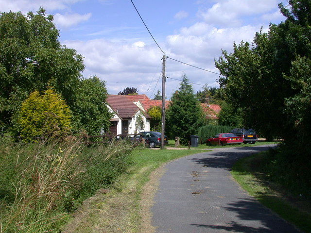
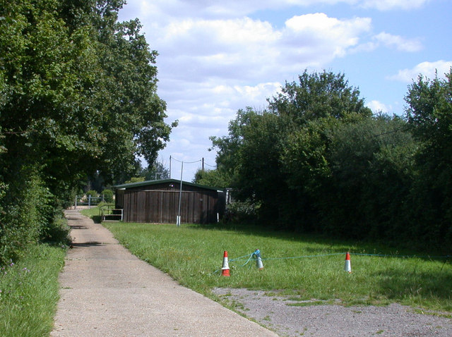
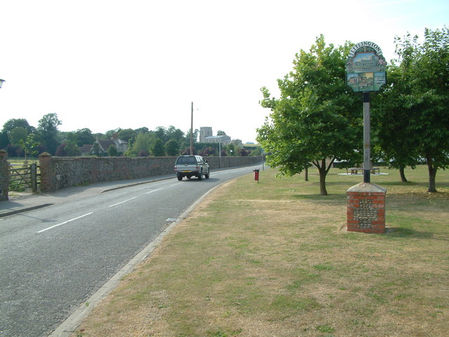
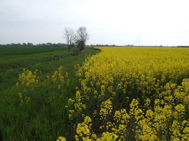
Boybridge Grove Images
Images are sourced within 2km of 52.080202/-0.091589236 or Grid Reference TL3044. Thanks to Geograph Open Source API. All images are credited.


Boybridge Grove is located at Grid Ref: TL3044 (Lat: 52.080202, Lng: -0.091589236)
Administrative County: Cambridgeshire
District: South Cambridgeshire
Police Authority: Cambridgeshire
What 3 Words
///taped.standards.bandaged. Near Bassingbourn, Cambridgeshire
Nearby Locations
Related Wikis

Abington Pigotts
Abington Pigotts is a small village in Cambridgeshire, England about 4 miles (6 km) northwest of Royston, Hertfordshire. == History == The parish of Abington...

Litlington, Cambridgeshire
Litlington is a village and civil parish in the East of England region and the county of Cambridgeshire in the United Kingdom. The village lies approximately...

Bassingbourn cum Kneesworth
Bassingbourn cum Kneesworth is a civil parish in the South Cambridgeshire district of Cambridgeshire, England, 14 miles south-west of Cambridge and just...
Bassingbourn Village College
Bassingbourn Village College is an academy school in Bassingbourn, just across the Cambridgeshire border from Royston, Hertfordshire. It currently has...
Shingay
Shingay is a hamlet and former civil parish, now in the parish of Shingay cum Wendy, in the South Cambridgeshire district, in the county of Cambridgeshire...
Ford Wood
Ford Wood is a woodland in Cambridgeshire, England, near Bassingbourn. It covers a total area of 2.34 hectares (5.78 acres). It is owned and managed by...

Steeple Morden
Steeple Morden is a village and civil parish in Cambridgeshire, England, about 15 miles (24 km) south west of Cambridge and 5 miles (8 km) west of Royston...

Guilden Morden
Guilden Morden, England, is a village and parish located in Cambridgeshire about 16 miles (26 km) south west of Cambridge and 9 miles (14 km) west of Royston...
Nearby Amenities
Located within 500m of 52.080202,-0.091589236Have you been to Boybridge Grove?
Leave your review of Boybridge Grove below (or comments, questions and feedback).