Wilderness Spinney
Wood, Forest in Cambridgeshire South Cambridgeshire
England
Wilderness Spinney
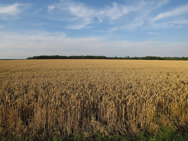
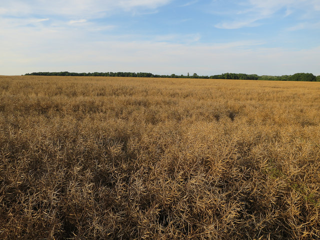
Wilderness Spinney is a charming woodland located in the county of Cambridgeshire, England. Situated near the village of Over, this small but captivating spinney covers an area of approximately 10 acres.
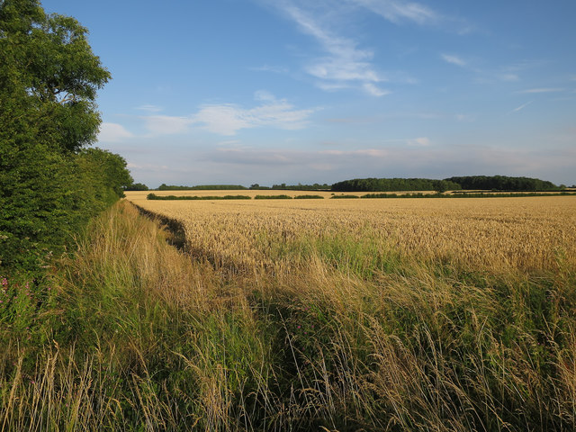
The spinney is characterized by its dense and diverse vegetation, which includes a variety of trees such as oak, ash, and willow. These towering trees provide a vibrant canopy that offers shelter and habitat for numerous species of birds and small mammals. The forest floor is covered in a carpet of wildflowers and ferns, creating a serene and picturesque setting for visitors to explore.
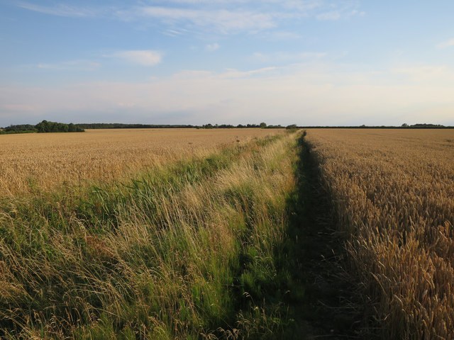
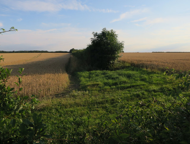
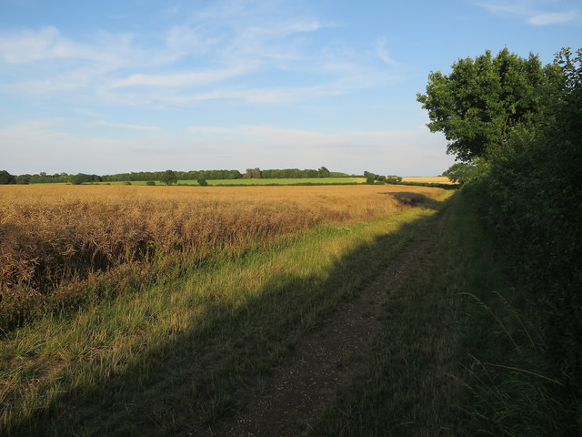
A network of well-maintained footpaths winds through the spinney, allowing visitors to easily navigate the woodland and experience its natural beauty up close. The paths are suitable for all ages and abilities, making Wilderness Spinney an ideal destination for families and nature enthusiasts alike.
The spinney is also home to a small pond, which provides a habitat for various aquatic plants and creatures. Visitors can observe dragonflies, frogs, and other fascinating wildlife in and around the pond.
Wilderness Spinney offers a peaceful and tranquil environment, making it a popular spot for walking, birdwatching, and photography. The woodland is open to the public throughout the year, and there are no admission fees or restrictions on visiting hours.
Overall, Wilderness Spinney in Cambridgeshire is a hidden gem for nature lovers, offering an opportunity to immerse oneself in the beauty of a small yet enchanting woodland paradise.
If you have any feedback on the listing, please let us know in the comments section below.
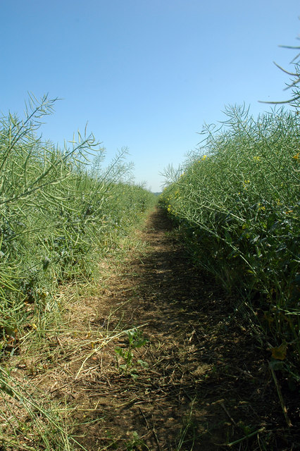
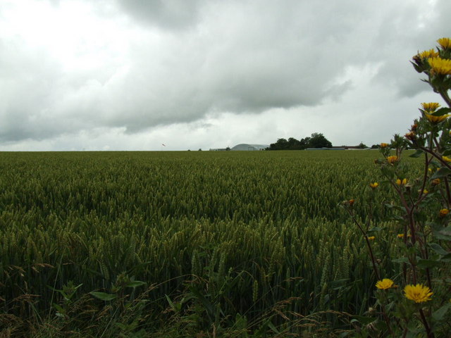
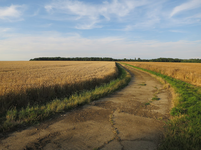
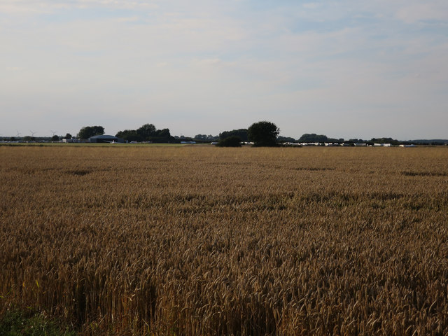
Wilderness Spinney Images
Images are sourced within 2km of 52.184954/-0.087092486 or Grid Reference TL3055. Thanks to Geograph Open Source API. All images are credited.


Wilderness Spinney is located at Grid Ref: TL3055 (Lat: 52.184954, Lng: -0.087092486)
Administrative County: Cambridgeshire
District: South Cambridgeshire
Police Authority: Cambridgeshire
What 3 Words
///concluded.rosette.dozed. Near Great Gransden, Cambridgeshire
Nearby Locations
Related Wikis

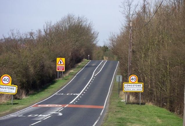
Longstowe
Longstowe is a civil parish and small rural village of nearly 200 residents in South Cambridgeshire, England, 12 miles (19 km) west of Cambridge. The population...

Wysing Arts Centre
Wysing Arts Centre is a contemporary arts residency centre and campus for artistic production, experimentation and learning in South Cambridgeshire, England...
Bourn Castle
Bourn Castle was in the village of Bourn in Cambridgeshire, 10 miles to the west of Cambridge (grid reference TL322562). It originally consisted of wooden...

Bourn Hall Clinic
Bourn Hall Clinic in Bourn, Cambridgeshire, England, is a centre for the treatment of infertility. The original building, Bourn Hall, is about 400 years...
Old North Road railway station
Old North Road was a railway station on the Varsity Line which served the small village of Longstowe near Bourn in Cambridgeshire. As its name suggests...
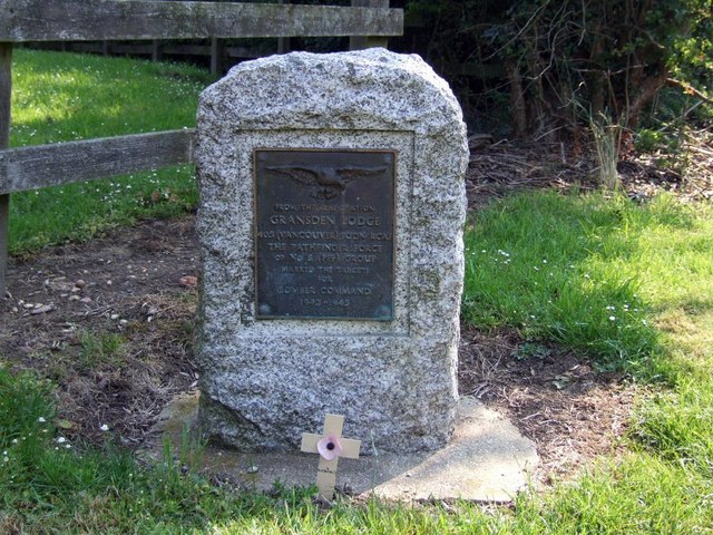
Gransden Lodge Airfield
Gransden Lodge Airfield is a former wartime airfield located 10.1 mi (16.3 km) west of Cambridge, Cambridgeshire, England. The Cambridge University Gliding...
Bourn
Bourn is a small village and civil parish in South Cambridgeshire, England. Surrounding villages include Caxton, Eltisley and Cambourne. It is 8 miles...

Bourn Windmill
Bourn Windmill is an open trestle post mill at Bourn in Cambridgeshire, England, which was standing in 1636. It is a Grade I Listed building and a Scheduled...
Nearby Amenities
Located within 500m of 52.184954,-0.087092486Have you been to Wilderness Spinney?
Leave your review of Wilderness Spinney below (or comments, questions and feedback).