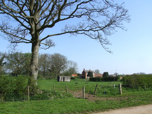
Oak Plantation

Wood, Forest in Lincolnshire East Lindsey

England

Oak Plantation

Ploughed field near Glebe Farm
Ploughed field near Glebe Farm Credit: Jonathan Thacker

The requested URL returned error: 429 Too Many Requests

If you have any feedback on the listing, please let us know in the comments section below.

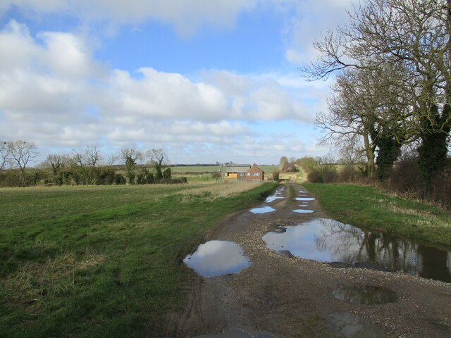
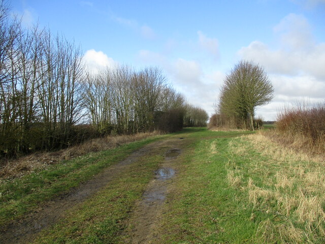
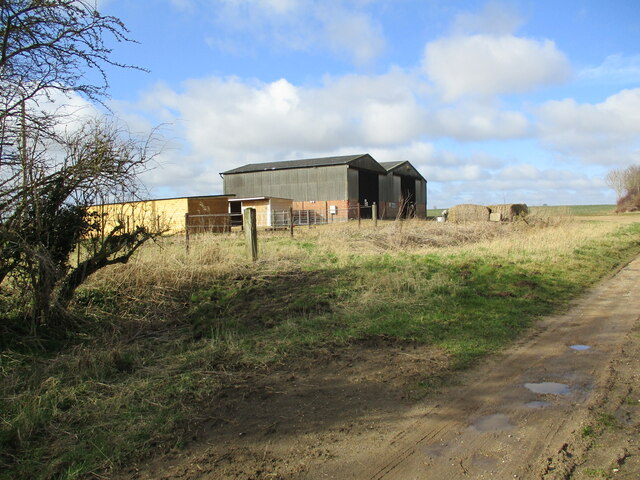
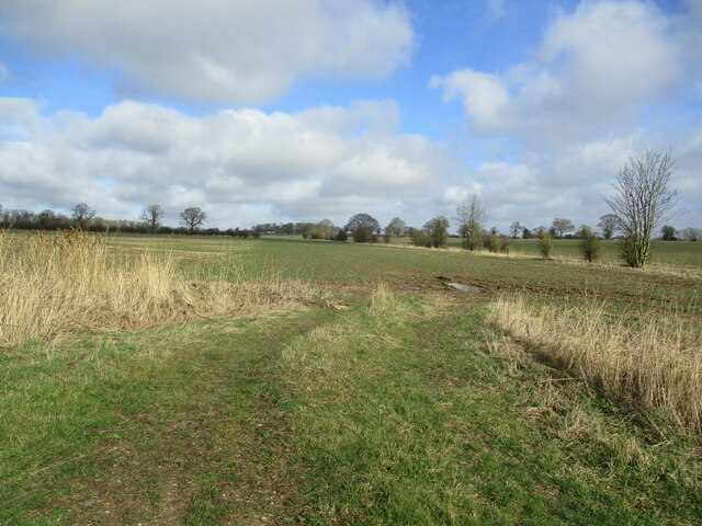
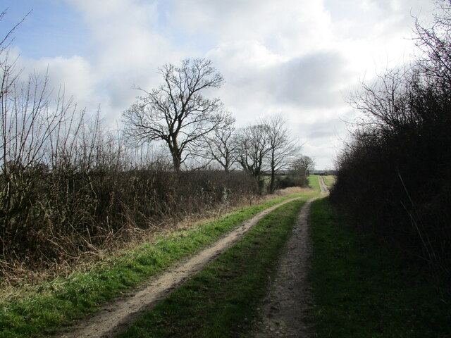
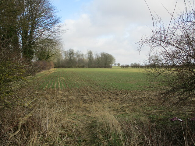
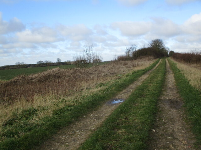
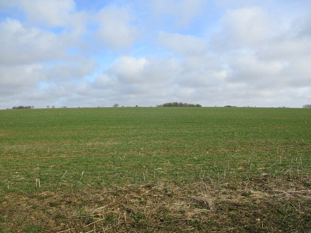
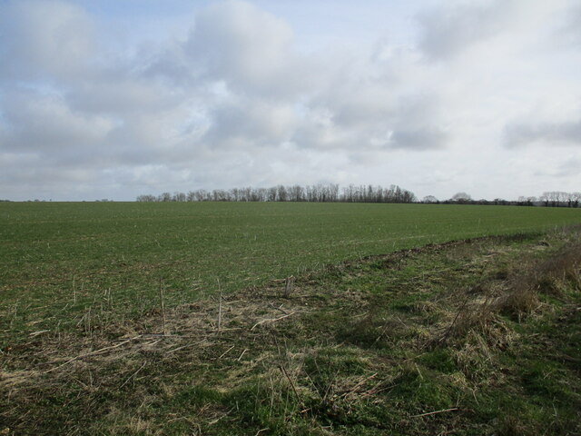
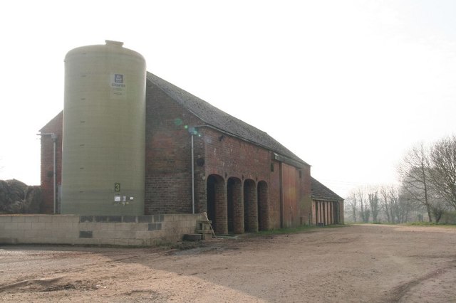
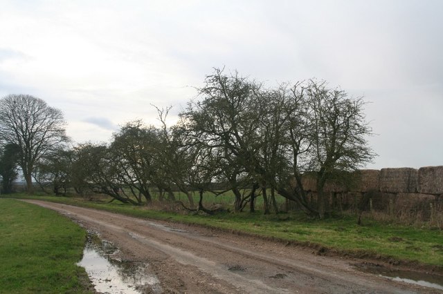
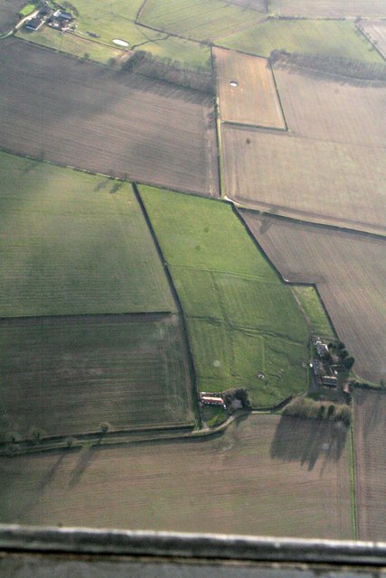
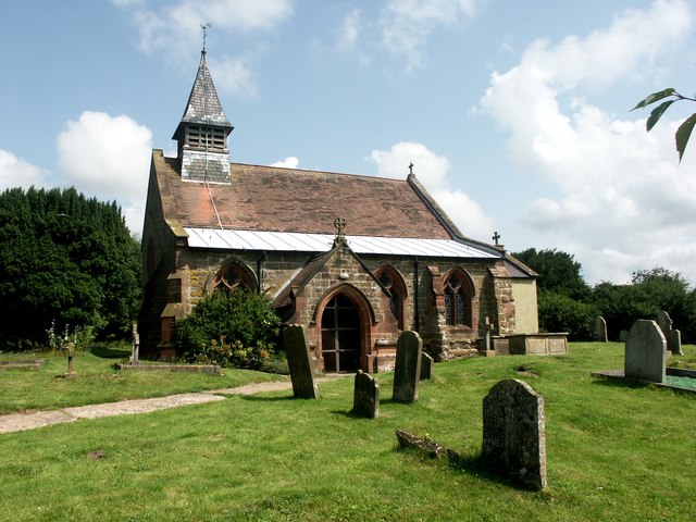
Oak Plantation Images

Images are sourced within 2km of 53.168586/-0.043387447 or Grid Reference TF3065. Thanks to Geograph Open Source API. All images are credited.

Ploughed field near Glebe Farm
Holme Wood Lane A bridleway.
Brookside House on the left of the lane.
Holme Wood Lane
A bridleway. Brookside House on the left of the lane.
Holme Wood Lane A bridleway.
Holme Wood Lane
A bridleway.
Farm buildings off Holme Wood Lane
Autumn sown crop near Claxby Pluckacre
Holme Wood Lane A bridleway.
Holme Wood Lane
A bridleway.
Autumn sown crop and Larch Plantation
Holme Wood Lane A bridleway.
Holme Wood Lane
A bridleway.
Autumn sown crop near Claxby Pluckacre The Rookery just showing above the horizon.
Autumn sown crop near Claxby Pluckacre
The Rookery just showing above the horizon.
Autumn sown crop and Larch Plantation
Traditional farm buildings at Miningsby
Chapel Lane, Miningsby
Gated road, Claxby Pluckacre Runs through a ridge and furrow field.
Gated road, Claxby Pluckacre
Runs through a ridge and furrow field.
Traditional farm buildings at farm near Miningsby Marked as "Dairy Farm".
Traditional farm buildings at farm near Miningsby
Marked as "Dairy Farm".
Wind pattern on a field SW of Asgarby: aerial 2018
Ridge and furrow and former enclosure boundaries at Low Hameringham Grange: aerial 2020
Ridge and furrow and former enclosure boundaries at Low Hameringham Grange: aerial 2020 (2)
Beck near Brook House Farm
Show me another place!

Oak Plantation is located at Grid Ref: TF3065 (Lat: 53.168586, Lng: -0.043387447)

Administrative County: Lincolnshire

District: East Lindsey

Police Authority: Lincolnshire

What 3 Words

///sparrows.humid.safest. Near Horncastle, Lincolnshire

Related Wikis

Claxby Pluckacre

Claxby Pluckacre is a hamlet in the East Lindsey district of Lincolnshire, England. It is situated approximately 5 miles (8.0 km) south-east from the town...

Miningsby

Miningsby is a small village and former civil parish, now in the parish of Revesby, in the East Lindsey district of Lincolnshire, England. It is situated...

Hameringham

Hameringham is an extended village in the East Lindsey district of Lincolnshire, England. It is situated 4 miles (6.4 km) south-east from the town of Horncastle...

Moorby

Moorby is a small village and former civil parish, now in the parish of Claxby with Moorby, in the East Lindsey district of Lincolnshire, England. The...

Nearby Amenities

Located within 500m of 53.168586,-0.043387447
Power: pole
Source: Bing
Lat/Long: 53.1662296/-0.047219
Power: pole
Source: Bing
Lat/Long: 53.1654491/-0.0476469
Power: pole
Source: Bing
Lat/Long: 53.1670504/-0.0467697
Grange Farm
Alt Name: The Grange
Place: farm
Source: Bing
Lat/Long: 53.1676286/-0.0468583
Grange Farm Cottage
Place: isolated_dwelling
Source: Bing
Lat/Long: 53.1688967/-0.0459842
The data included in this document is from www.openstreetmap.org. The data is made available under ODbL.

Have you been to Oak Plantation?

Leave your review of Oak Plantation below (or comments, questions and feedback).