The Rookery
Wood, Forest in Lincolnshire East Lindsey
England
The Rookery

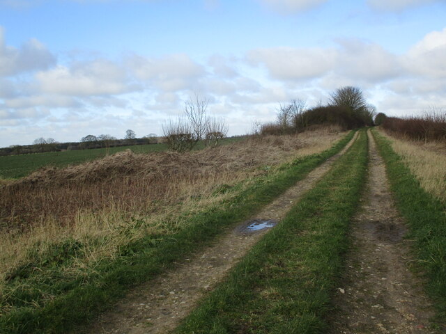
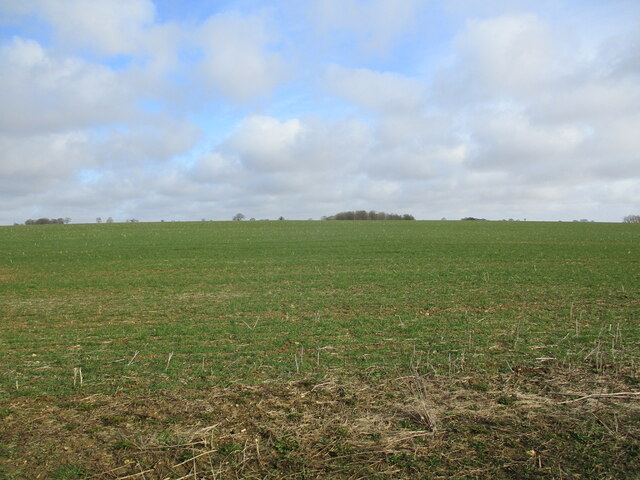
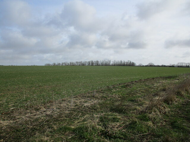
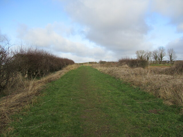
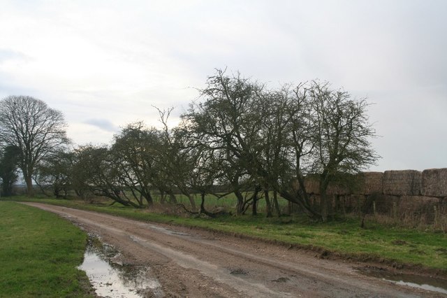
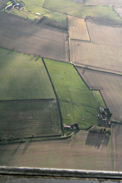
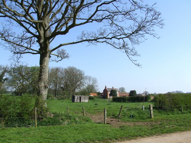
The Rookery is a picturesque woodland area located in Lincolnshire, England. Situated in the heart of the county, this forested region is known for its serene beauty and rich biodiversity. Spanning an area of approximately 100 acres, The Rookery offers visitors a tranquil escape from the hustle and bustle of city life.
The woodland is primarily composed of a mix of deciduous and coniferous trees, creating a diverse habitat for a wide range of plant and animal species. The forest floor is adorned with an array of wildflowers, including bluebells and primroses, which bloom in vibrant colors during the spring season.
As visitors wander through the woodland, they are greeted by a chorus of bird songs, as The Rookery is home to a variety of avian species. It is not uncommon to spot woodpeckers, owls, and even the occasional sighting of a red kite soaring above the treetops.
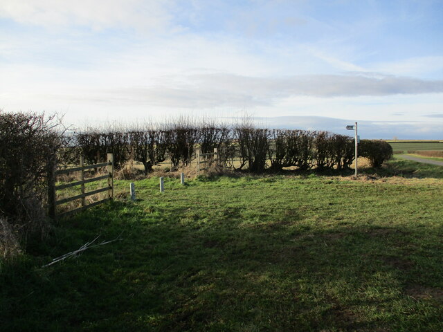
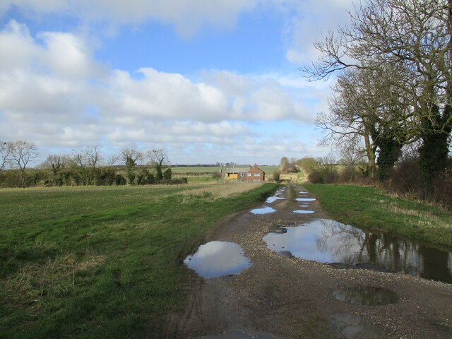
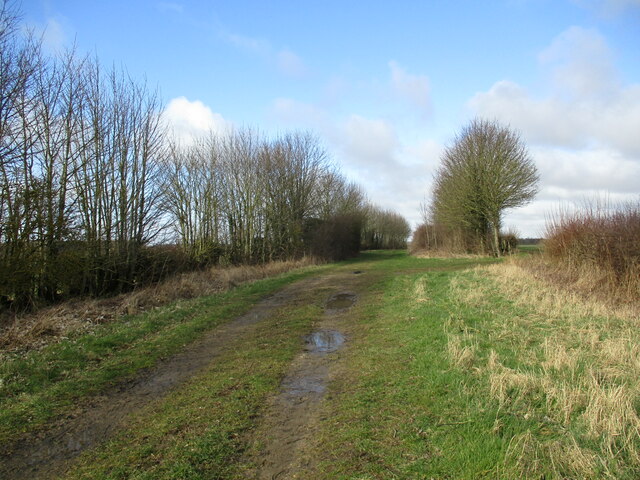
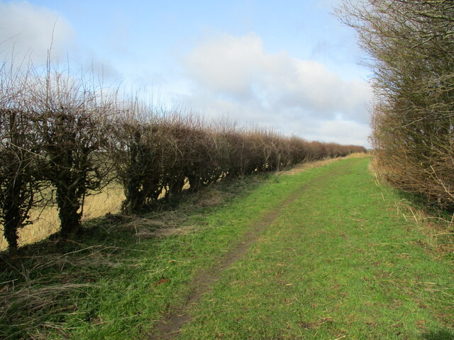
The Rookery offers several well-maintained walking trails, allowing visitors to explore the forest at their own pace. These trails wind through the ancient trees, providing glimpses of hidden ponds and streams along the way. The forest also houses a small picnic area, where visitors can rest and enjoy the peaceful atmosphere while surrounded by nature.
Managed by local conservation organizations, The Rookery is dedicated to preserving the natural habitat and promoting environmental education. Regular guided walks and workshops are organized to educate visitors about the importance of conservation and the unique ecosystem found within The Rookery.
Overall, The Rookery in Lincolnshire is a haven for nature lovers, providing a serene and enriching experience for anyone seeking to connect with the natural world.
If you have any feedback on the listing, please let us know in the comments section below.
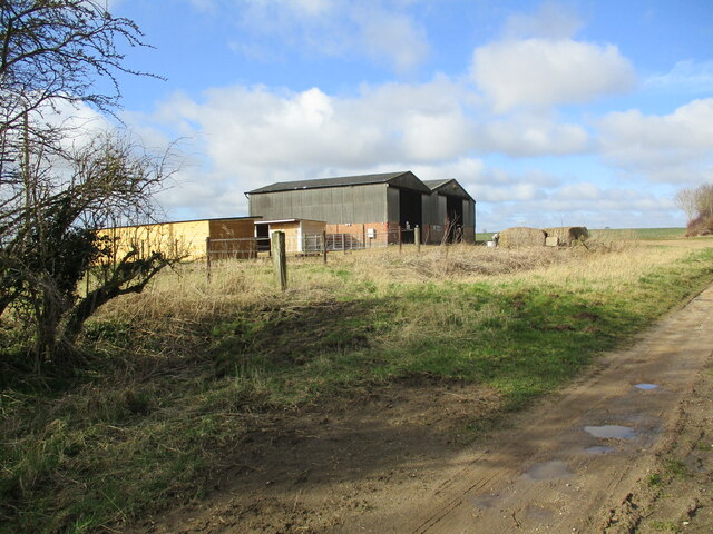
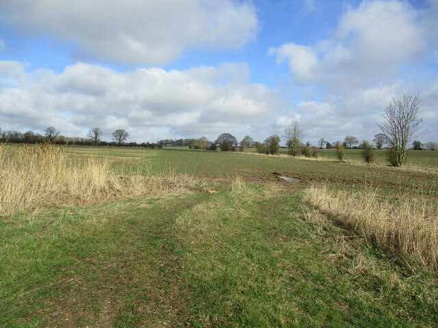
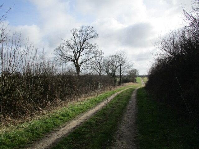
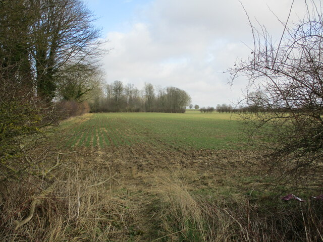
The Rookery Images
Images are sourced within 2km of 53.168445/-0.050664977 or Grid Reference TF3065. Thanks to Geograph Open Source API. All images are credited.


The Rookery is located at Grid Ref: TF3065 (Lat: 53.168445, Lng: -0.050664977)
Administrative County: Lincolnshire
District: East Lindsey
Police Authority: Lincolnshire
What 3 Words
///line.promoted.composes. Near Horncastle, Lincolnshire
Nearby Locations
Related Wikis
Claxby Pluckacre
Claxby Pluckacre is a hamlet in the East Lindsey district of Lincolnshire, England. It is situated approximately 5 miles (8.0 km) south-east from the town...

Moorby
Moorby is a small village and former civil parish, now in the parish of Claxby with Moorby, in the East Lindsey district of Lincolnshire, England. The...
Hameringham
Hameringham is an extended village in the East Lindsey district of Lincolnshire, England. It is situated 4 miles (6.4 km) south-east from the town of Horncastle...

Miningsby
Miningsby is a small village and former civil parish, now in the parish of Revesby, in the East Lindsey district of Lincolnshire, England. It is situated...
Nearby Amenities
Located within 500m of 53.168445,-0.050664977Have you been to The Rookery?
Leave your review of The Rookery below (or comments, questions and feedback).