Hameringham Hill
Hill, Mountain in Lincolnshire East Lindsey
England
Hameringham Hill

Hameringham Hill is a prominent geographical feature located in the county of Lincolnshire, England. It is situated just outside the village of Hameringham, approximately 3 miles northwest of the town of Horncastle. Despite its name, Hameringham Hill is not a true hill or mountain, but rather a modest elevation in an otherwise flat landscape.
The hill rises to an elevation of around 100 meters above sea level, making it a noticeable landmark in the area. Its distinctive shape and prominent position offer breathtaking panoramic views of the surrounding countryside, including the Lincolnshire Wolds to the northeast and the Fenlands to the south.
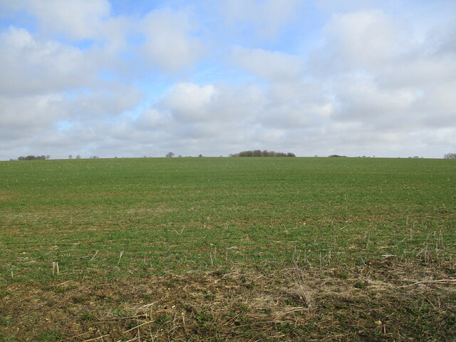
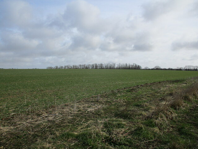
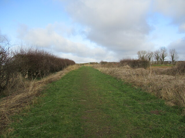
Hameringham Hill is covered in lush green grass, typical of the rural landscape of Lincolnshire. The slopes are gentle and easily accessible, making it a popular spot for locals and visitors alike to enjoy outdoor activities such as walking, picnicking, and even kite flying.
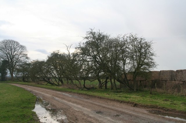
The hill is also home to a variety of wildlife, including numerous species of birds, insects, and small mammals. The surrounding area is dotted with woodland and hedgerows, providing a habitat for a diverse range of flora and fauna.
In addition to its natural beauty, Hameringham Hill has a rich historical significance. It is believed to have been a settlement during the Iron Age, with archaeological evidence supporting human activity in the area. Today, remnants of ancient earthworks and burial mounds can still be seen on the hill, adding to its allure for history enthusiasts.
Overall, Hameringham Hill offers a picturesque and tranquil escape in the heart of Lincolnshire, combining natural beauty, recreational opportunities, and historical interest.
If you have any feedback on the listing, please let us know in the comments section below.
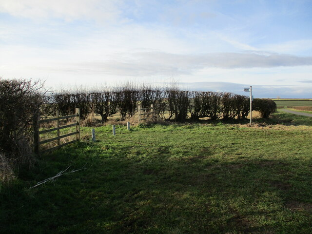
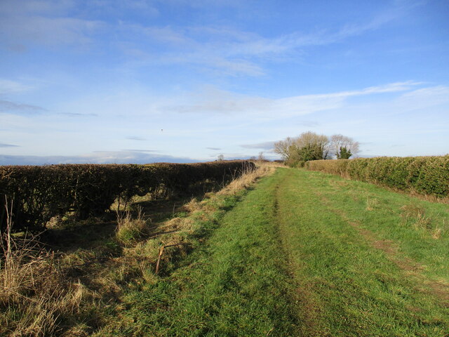
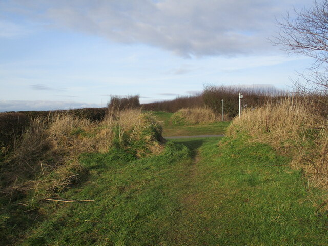
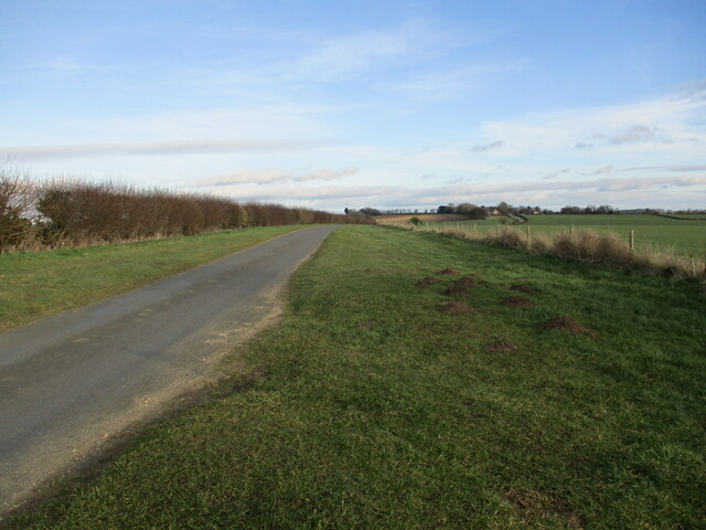
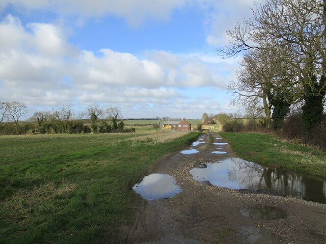
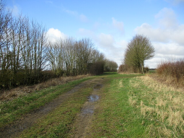
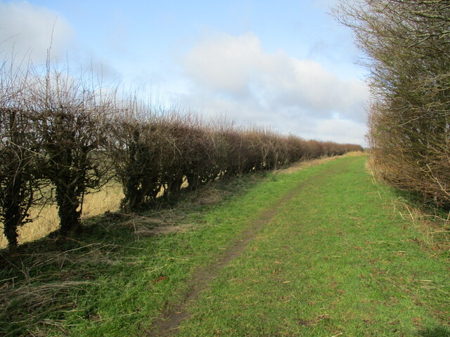
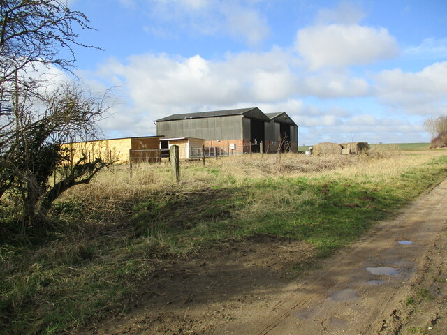
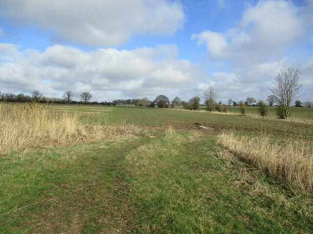
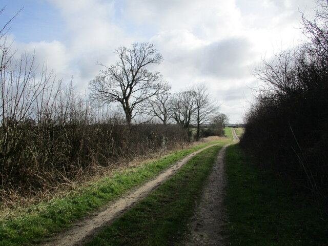
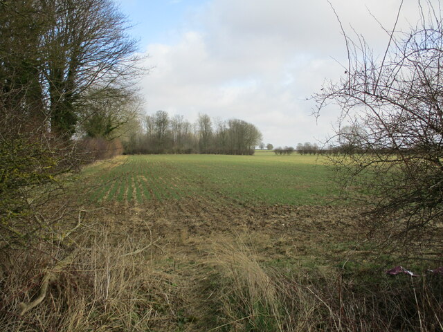
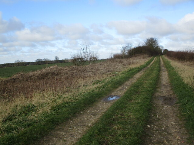
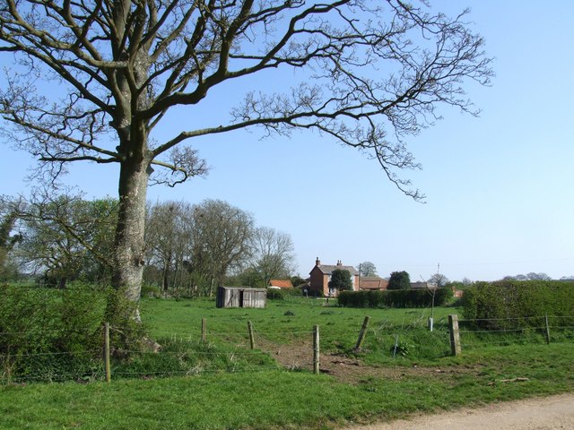
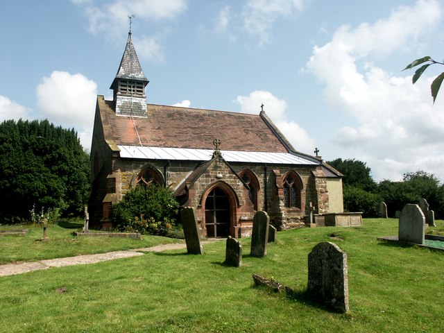
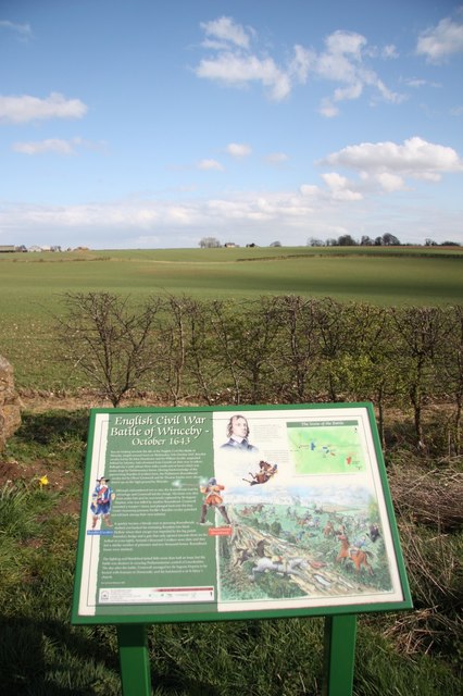
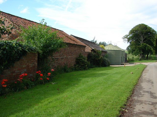
Hameringham Hill Images
Images are sourced within 2km of 53.172306/-0.050385197 or Grid Reference TF3065. Thanks to Geograph Open Source API. All images are credited.

Hameringham Hill is located at Grid Ref: TF3065 (Lat: 53.172306, Lng: -0.050385197)
Administrative County: Lincolnshire
District: East Lindsey
Police Authority: Lincolnshire
What 3 Words
///candy.august.existence. Near Horncastle, Lincolnshire
Nearby Locations
Related Wikis
Claxby Pluckacre
Claxby Pluckacre is a hamlet in the East Lindsey district of Lincolnshire, England. It is situated approximately 5 miles (8.0 km) south-east from the town...
Hameringham
Hameringham is an extended village in the East Lindsey district of Lincolnshire, England. It is situated 4 miles (6.4 km) south-east from the town of Horncastle...

Moorby
Moorby is a small village and former civil parish, now in the parish of Claxby with Moorby, in the East Lindsey district of Lincolnshire, England. The...

Miningsby
Miningsby is a small village and former civil parish, now in the parish of Revesby, in the East Lindsey district of Lincolnshire, England. It is situated...

Asgarby, East Lindsey
Asgarby is a hamlet and former civil parish, now in the parish of Lusby with Winceby, in the East Lindsey district of Lincolnshire, England. It lies just...

Mareham on the Hill
Mareham on the Hill is a village and civil parish about 2.5 miles (4.0 km) south-east from the town of Horncastle, Lincolnshire, England. Mareham on the...
Winceby
Winceby is a village in the civil parish of Lusby with Winceby, in the East Lindsey district of Lincolnshire, England. It is in the Lincolnshire Wolds...
Scrafield
Scrafield is a hamlet and a deserted medieval village (DMV) in the civil parish of Mareham on the Hill, in the East Lindsey district, in the county of...
Nearby Amenities
Located within 500m of 53.172306,-0.050385197Have you been to Hameringham Hill?
Leave your review of Hameringham Hill below (or comments, questions and feedback).