Woodlands
Wood, Forest in Cambridgeshire South Cambridgeshire
England
Woodlands
Woodlands is a small village located in the county of Cambridgeshire, England. Situated in the district of Huntingdonshire, it is known for its picturesque surroundings and abundant woodlands, which give the village its name.
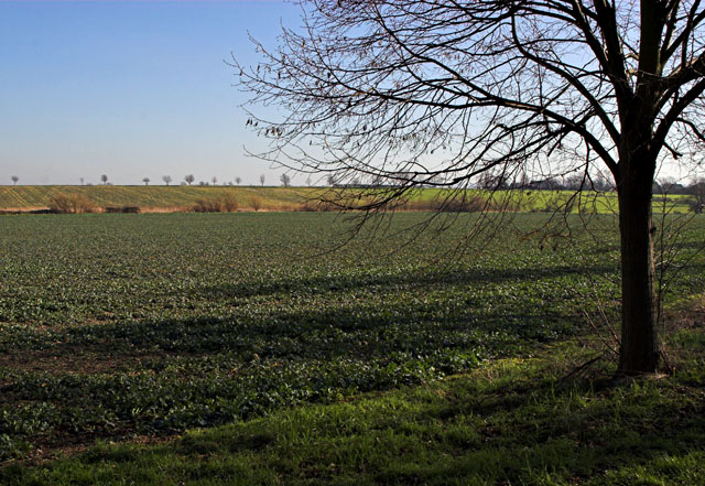
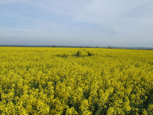
The village is nestled amidst a dense forest, with tall trees and lush vegetation dominating the landscape. This natural setting provides Woodlands with a tranquil and peaceful atmosphere, making it an ideal place for nature lovers and those seeking a retreat from urban life.
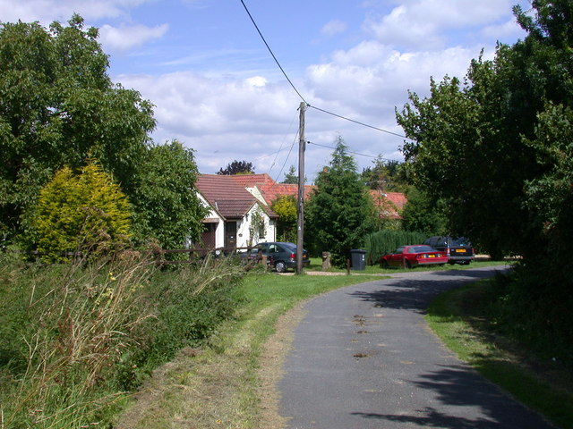
Despite its small size, Woodlands has a close-knit community that takes pride in its heritage and natural surroundings. The village is home to a handful of traditional cottages and houses, giving it a charming and quaint character. The residents of Woodlands are known for their friendliness and warm hospitality, making visitors feel welcome and at home.
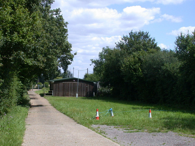
Woodlands offers a range of outdoor activities for residents and visitors alike. The vast forested areas provide ample opportunities for hiking, cycling, and exploring nature trails. The village also has several picnic spots and recreational areas, making it a popular destination for families and outdoor enthusiasts.
The surrounding woodlands are teeming with wildlife, including deer, rabbits, and a variety of bird species, making it a haven for wildlife enthusiasts and birdwatchers. The village is also well-connected to nearby towns and cities, allowing residents easy access to amenities and services.
In conclusion, Woodlands in Cambridgeshire is a charming village known for its natural beauty, with dense woodlands and a close-knit community. It offers a peaceful and idyllic setting for those seeking a retreat from urban life, with ample opportunities for outdoor activities and wildlife observation.
If you have any feedback on the listing, please let us know in the comments section below.
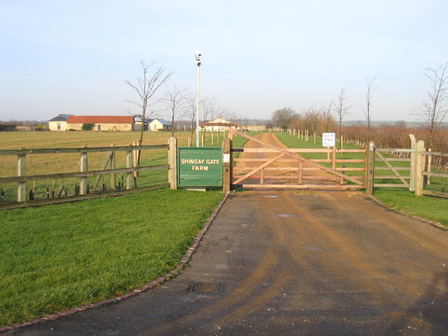
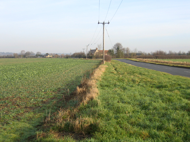
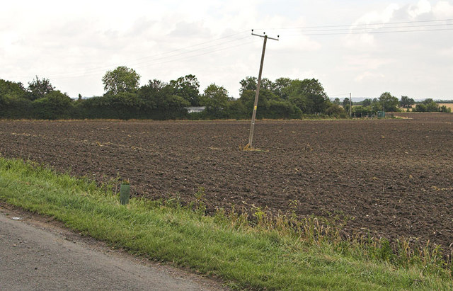
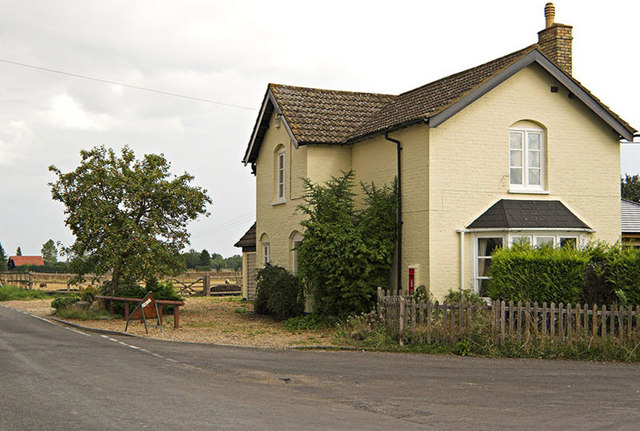
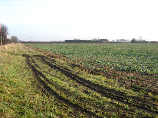
Woodlands Images
Images are sourced within 2km of 52.082839/-0.098394793 or Grid Reference TL3044. Thanks to Geograph Open Source API. All images are credited.


Woodlands is located at Grid Ref: TL3044 (Lat: 52.082839, Lng: -0.098394793)
Administrative County: Cambridgeshire
District: South Cambridgeshire
Police Authority: Cambridgeshire
What 3 Words
///greed.thing.kinks. Near Bassingbourn, Cambridgeshire
Nearby Locations
Related Wikis

Abington Pigotts
Abington Pigotts is a small village in Cambridgeshire, England about 4 miles (6 km) northwest of Royston, Hertfordshire. == History == The parish of Abington...

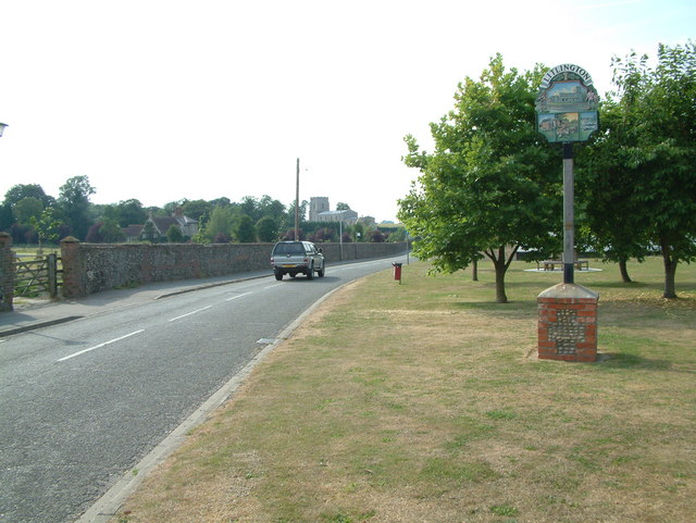
Litlington, Cambridgeshire
Litlington is a village and civil parish in the East of England region and the county of Cambridgeshire in the United Kingdom. The village lies approximately...
Shingay
Shingay is a hamlet and former civil parish, now in the parish of Shingay cum Wendy, in the South Cambridgeshire district, in the county of Cambridgeshire...

Guilden Morden
Guilden Morden, England, is a village and parish located in Cambridgeshire about 16 miles (26 km) south west of Cambridge and 9 miles (14 km) west of Royston...

Steeple Morden
Steeple Morden is a village and civil parish in Cambridgeshire, England, about 15 miles (24 km) south west of Cambridge and 5 miles (8 km) west of Royston...

Bassingbourn cum Kneesworth
Bassingbourn cum Kneesworth is a civil parish in the South Cambridgeshire district of Cambridgeshire, England, 14 miles south-west of Cambridge and just...
Bassingbourn Village College
Bassingbourn Village College is an academy school in Bassingbourn, just across the Cambridgeshire border from Royston, Hertfordshire. It currently has...
Shingay Preceptory
Shingay Preceptory was a Knights Hospitaller priory at Shingay in Cambridgeshire, England. It was established in 1144. The moated site is a scheduled ancient...
Nearby Amenities
Located within 500m of 52.082839,-0.098394793Have you been to Woodlands?
Leave your review of Woodlands below (or comments, questions and feedback).