Gashouse Spinney
Wood, Forest in Cambridgeshire South Cambridgeshire
England
Gashouse Spinney
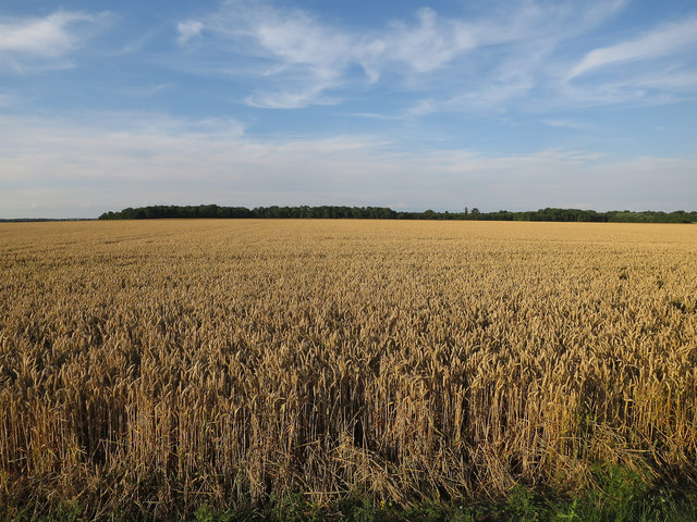
Gashouse Spinney is a picturesque woodland area located in Cambridgeshire, England. Covering an area of approximately 50 acres, this enchanting forest is situated in close proximity to the village of Wood. The Spinney is characterized by its dense and diverse assortment of trees, including oak, beech, and birch, which create a vibrant and lush canopy overhead.
The forest floor is adorned with a rich carpet of ferns, moss, and wildflowers, providing an ideal habitat for a variety of woodland creatures, such as deer, foxes, and squirrels. The tranquil ambiance of Gashouse Spinney is enhanced by the gentle babbling of a nearby brook that meanders through the heart of the woodland, adding a touch of serenity to the surroundings.
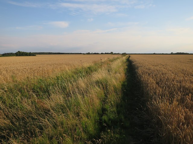
Visitors to Gashouse Spinney can enjoy numerous walking trails that wind through the forest, offering an opportunity to explore its hidden nooks and crannies. The trails are well-maintained and marked, ensuring easy navigation for hikers of all skill levels. Along the way, nature enthusiasts may spot a plethora of bird species, including woodpeckers, owls, and various songbirds.
Gashouse Spinney is a popular destination for those seeking respite from the hustle and bustle of daily life. Its idyllic setting provides a peaceful retreat where visitors can reconnect with nature and immerse themselves in the beauty of the English countryside. Whether it's a leisurely stroll or a more vigorous hike, Gashouse Spinney offers a rejuvenating experience for all who venture into its verdant depths.
If you have any feedback on the listing, please let us know in the comments section below.
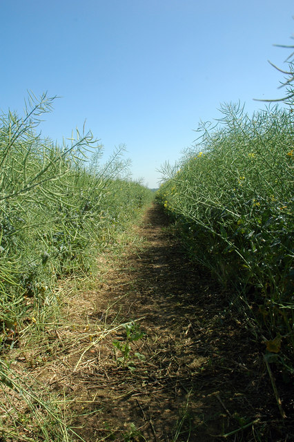
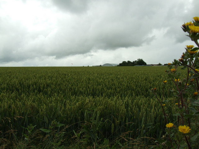
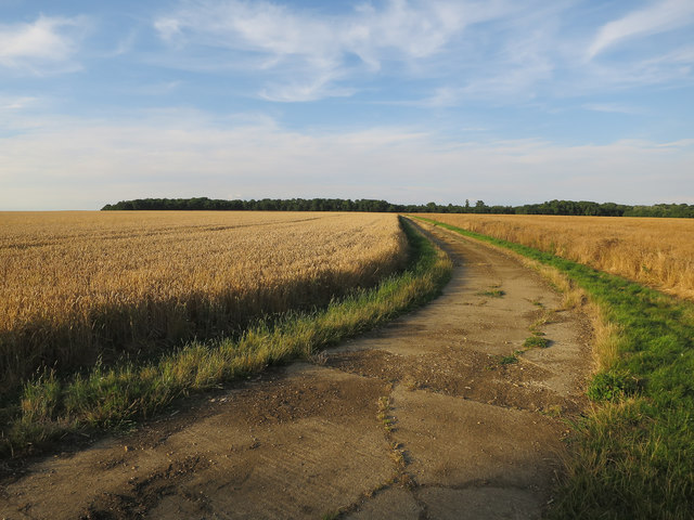
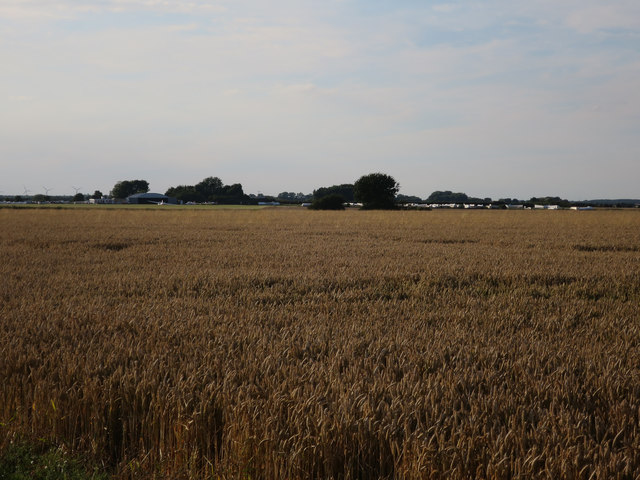
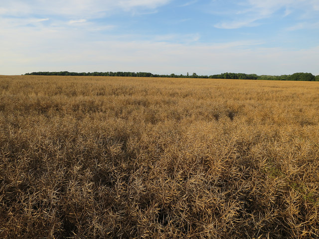
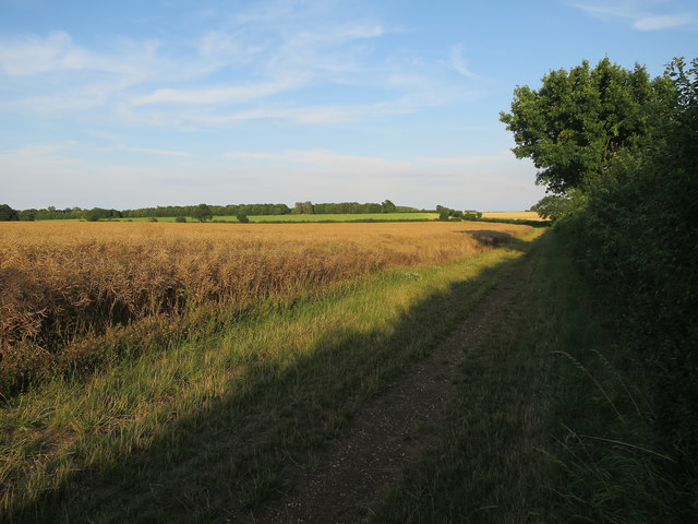
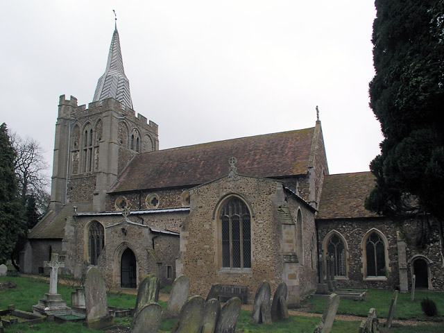
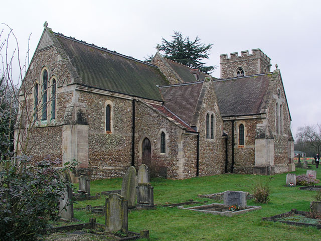
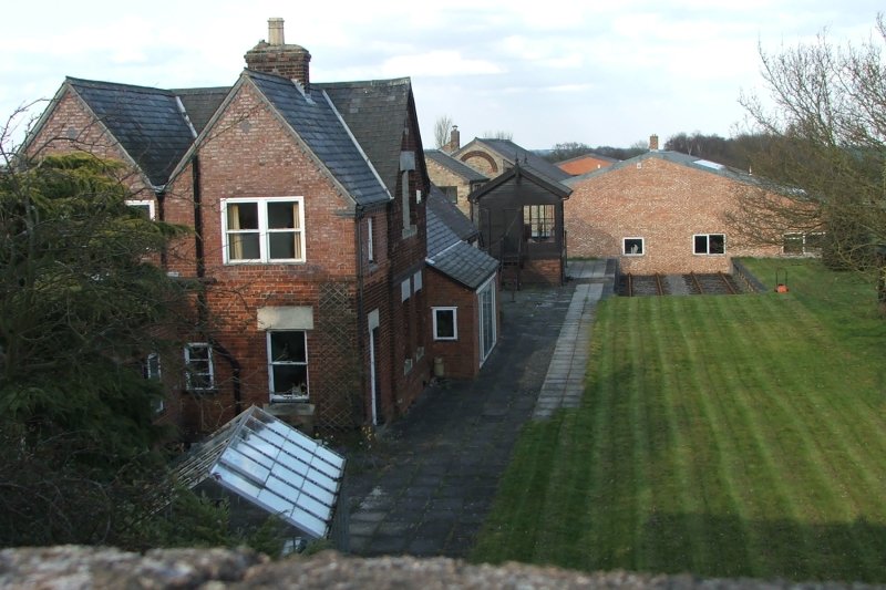
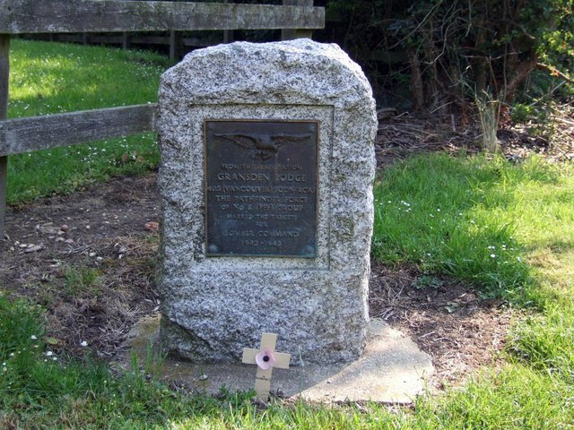
Gashouse Spinney Images
Images are sourced within 2km of 52.181374/-0.089732797 or Grid Reference TL3055. Thanks to Geograph Open Source API. All images are credited.


Gashouse Spinney is located at Grid Ref: TL3055 (Lat: 52.181374, Lng: -0.089732797)
Administrative County: Cambridgeshire
District: South Cambridgeshire
Police Authority: Cambridgeshire
What 3 Words
///target.fixed.listen. Near Great Gransden, Cambridgeshire
Nearby Locations
Related Wikis

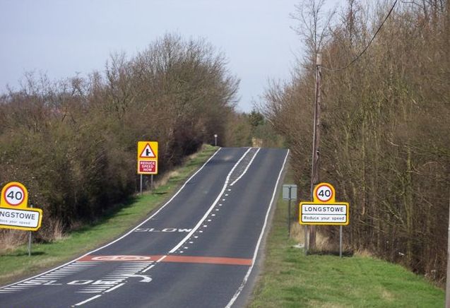
Longstowe
Longstowe is a civil parish and small rural village of nearly 200 residents in South Cambridgeshire, England, 12 miles (19 km) west of Cambridge. The population...
Old North Road railway station
Old North Road was a railway station on the Varsity Line which served the small village of Longstowe near Bourn in Cambridgeshire. As its name suggests...

Wysing Arts Centre
Wysing Arts Centre is a contemporary arts residency centre and campus for artistic production, experimentation and learning in South Cambridgeshire, England...
Gransden Lodge Airfield
Gransden Lodge Airfield is a former wartime airfield located 10.1 mi (16.3 km) west of Cambridge, Cambridgeshire, England. The Cambridge University Gliding...
Bourn Castle
Bourn Castle was in the village of Bourn in Cambridgeshire, 10 miles to the west of Cambridge (grid reference TL322562). It originally consisted of wooden...

Bourn Hall Clinic
Bourn Hall Clinic in Bourn, Cambridgeshire, England, is a centre for the treatment of infertility. The original building, Bourn Hall, is about 400 years...
Bourn
Bourn is a small village and civil parish in South Cambridgeshire, England. Surrounding villages include Caxton, Eltisley and Cambourne. It is 8 miles...

Kingston Wood and Outliers
Kingston Wood and Outliers is a 47.4-hectare (117-acre) biological Site of Special Scientific Interest south-west of Kingston in Cambridgeshire. The site...
Nearby Amenities
Located within 500m of 52.181374,-0.089732797Have you been to Gashouse Spinney?
Leave your review of Gashouse Spinney below (or comments, questions and feedback).