Broad Close Spinney
Wood, Forest in Cambridgeshire South Cambridgeshire
England
Broad Close Spinney
Broad Close Spinney is a picturesque woodland located in Cambridgeshire, England. This enchanting spinney is nestled within the village of Broad Close, offering a tranquil retreat for nature enthusiasts and visitors alike.
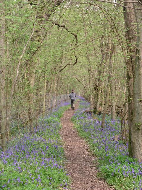
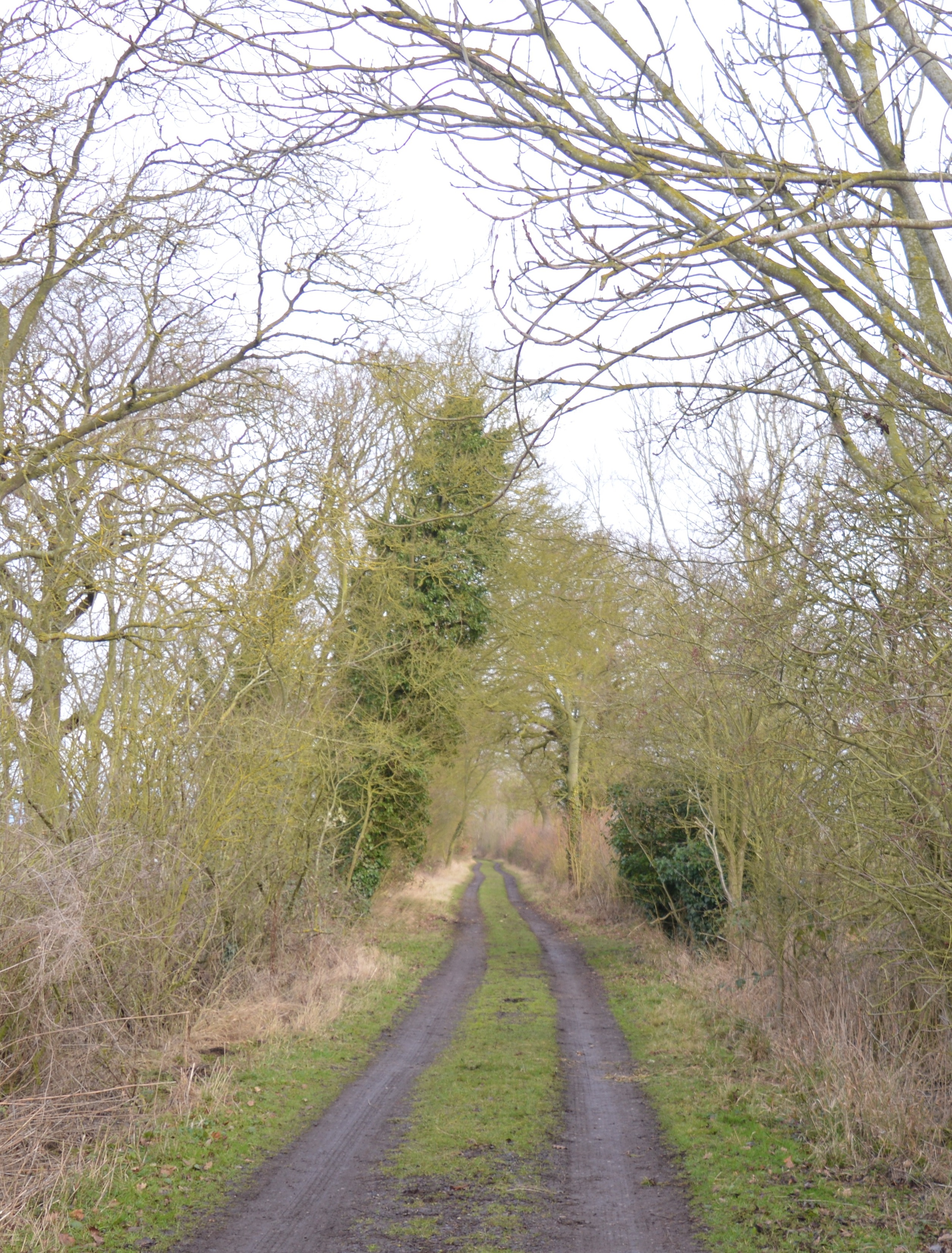
Covering an area of approximately 10 hectares, Broad Close Spinney boasts a diverse range of tree species, including oak, beech, and ash. The dense canopy of these majestic trees creates a shaded sanctuary, providing a cool and peaceful atmosphere throughout the year.
The forest floor is adorned with a carpet of wildflowers, creating a vibrant and colorful display during the spring and summer months. Bluebells, primroses, and orchids are just a few of the stunning flowers that can be found in this woodland oasis. The undergrowth is also home to a myriad of ferns, mosses, and fungi, adding to the richness and biodiversity of the spinney.
Several walking trails wind their way through Broad Close Spinney, allowing visitors to explore its natural beauty at their own pace. These paths offer glimpses of local wildlife, such as squirrels, rabbits, and various bird species, making it a haven for birdwatching enthusiasts.
In addition to its natural allure, Broad Close Spinney also holds cultural and historical significance. The spinney is believed to have existed for centuries, and its ancient trees and woodlands have witnessed the passage of time and the evolving landscape of Cambridgeshire.
Overall, Broad Close Spinney is a captivating woodland that offers a peaceful retreat from the hustle and bustle of modern life. Its natural beauty, diverse flora and fauna, and tranquil atmosphere make it a must-visit destination for nature lovers and those seeking a connection with the great outdoors.
If you have any feedback on the listing, please let us know in the comments section below.
Broad Close Spinney Images
Images are sourced within 2km of 52.170321/-0.090191662 or Grid Reference TL3054. Thanks to Geograph Open Source API. All images are credited.


Broad Close Spinney is located at Grid Ref: TL3054 (Lat: 52.170321, Lng: -0.090191662)
Administrative County: Cambridgeshire
District: South Cambridgeshire
Police Authority: Cambridgeshire
What 3 Words
///unpacked.mull.melts. Near Great Gransden, Cambridgeshire
Nearby Locations
Related Wikis
Old North Road railway station
Old North Road was a railway station on the Varsity Line which served the small village of Longstowe near Bourn in Cambridgeshire. As its name suggests...

Longstowe
Longstowe is a civil parish and small rural village of nearly 200 residents in South Cambridgeshire, England, 12 miles (19 km) west of Cambridge. The population...

Wysing Arts Centre
Wysing Arts Centre is a contemporary arts residency centre and campus for artistic production, experimentation and learning in South Cambridgeshire, England...

Kingston Wood and Outliers
Kingston Wood and Outliers is a 47.4-hectare (117-acre) biological Site of Special Scientific Interest south-west of Kingston in Cambridgeshire. The site...
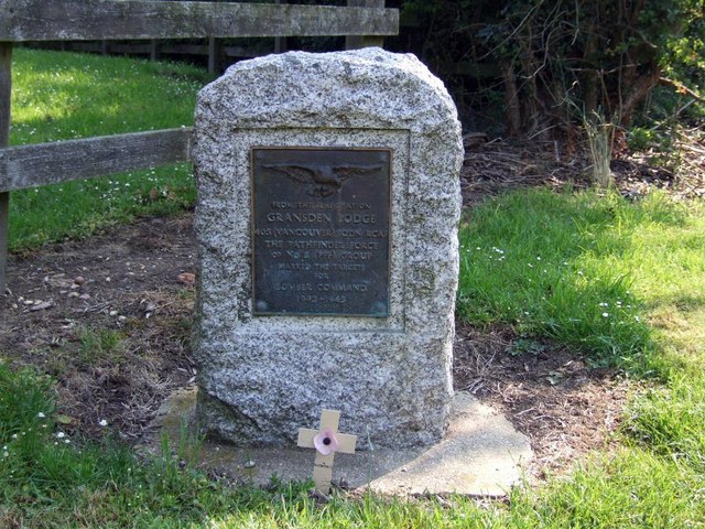
Gransden Lodge Airfield
Gransden Lodge Airfield is a former wartime airfield located 10.1 mi (16.3 km) west of Cambridge, Cambridgeshire, England. The Cambridge University Gliding...
Hayley Wood
Hayley Wood is a 51.7-hectare (128-acre) biological Site of Special Scientific Interest south-east of Great Gransden in Cambridgeshire. It is a Nature...
Bourn Castle
Bourn Castle was in the village of Bourn in Cambridgeshire, 10 miles to the west of Cambridge (grid reference TL322562). It originally consisted of wooden...

Bourn Hall Clinic
Bourn Hall Clinic in Bourn, Cambridgeshire, England, is a centre for the treatment of infertility. The original building, Bourn Hall, is about 400 years...
Nearby Amenities
Located within 500m of 52.170321,-0.090191662Have you been to Broad Close Spinney?
Leave your review of Broad Close Spinney below (or comments, questions and feedback).