Gravefield Grove
Wood, Forest in Hertfordshire East Hertfordshire
England
Gravefield Grove
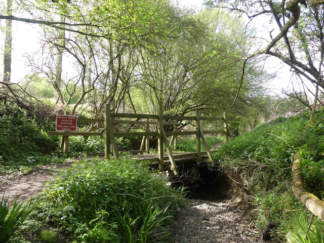
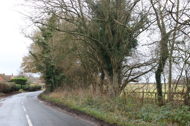
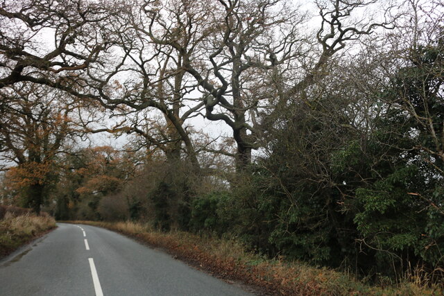
Gravefield Grove is a picturesque woodland area located in Hertfordshire, England. Spanning over 100 acres, this woodland is characterized by its dense, lush vegetation and towering trees that create a serene and tranquil environment.
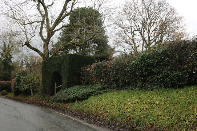
The grove is primarily composed of deciduous trees, predominantly oak, beech, and birch. These trees provide a rich canopy that allows dappled sunlight to filter through, creating a beautiful play of light and shadow on the forest floor. The undergrowth is abundant with ferns, wildflowers, and mosses, adding to the grove's enchanting atmosphere.
Gravefield Grove is known for its diverse wildlife population. Many species of birds, including woodpeckers, owls, and thrushes, can be spotted nesting among the trees. The grove is also home to a variety of small mammals, such as squirrels, foxes, and badgers, which thrive in the woodland habitat.
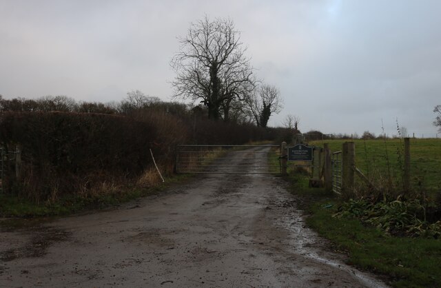
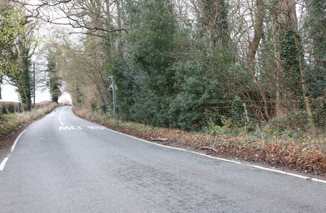
The grove offers numerous walking trails, allowing visitors to explore its natural beauty and immerse themselves in the peaceful surroundings. These trails are well-maintained and provide access to the grove's most scenic spots, including a small stream that meanders through the woodland.
Gravefield Grove is a popular destination for nature enthusiasts, photographers, and those seeking a peaceful retreat from the bustling city life. The grove's serene ambiance, diverse wildlife, and stunning natural scenery make it a truly remarkable woodland that offers a tranquil escape for all who visit.
If you have any feedback on the listing, please let us know in the comments section below.
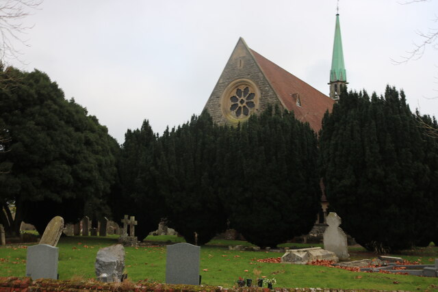
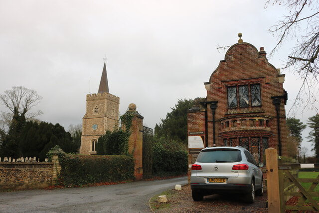
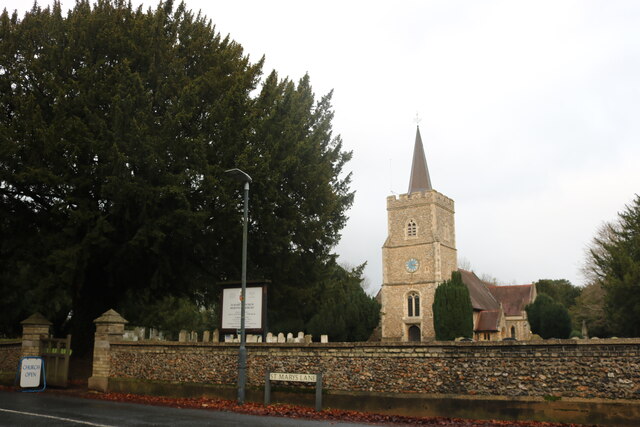
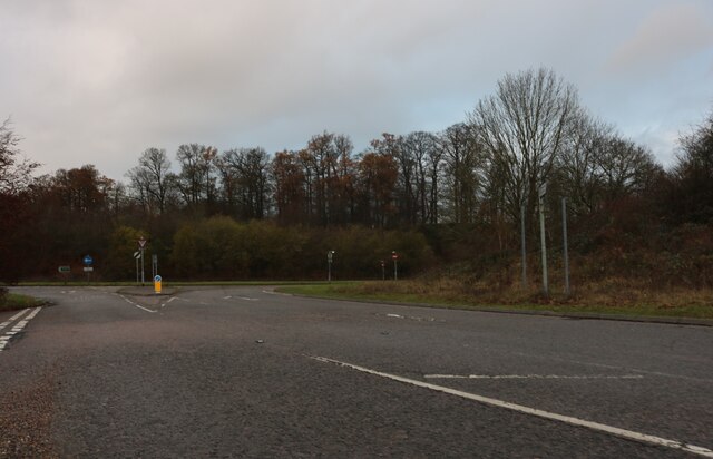
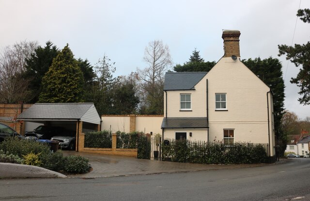
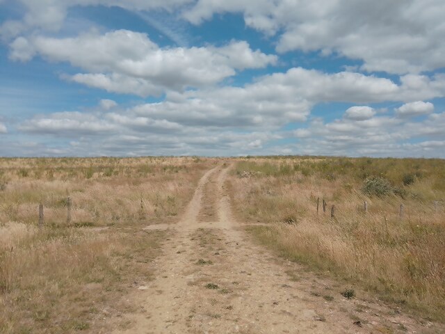
Gravefield Grove Images
Images are sourced within 2km of 51.77509/-0.1068953 or Grid Reference TL3010. Thanks to Geograph Open Source API. All images are credited.


Gravefield Grove is located at Grid Ref: TL3010 (Lat: 51.77509, Lng: -0.1068953)
Administrative County: Hertfordshire
District: East Hertfordshire
Police Authority: Hertfordshire
What 3 Words
///gave.entry.blend. Near Hertford, Hertfordshire
Nearby Locations
Related Wikis
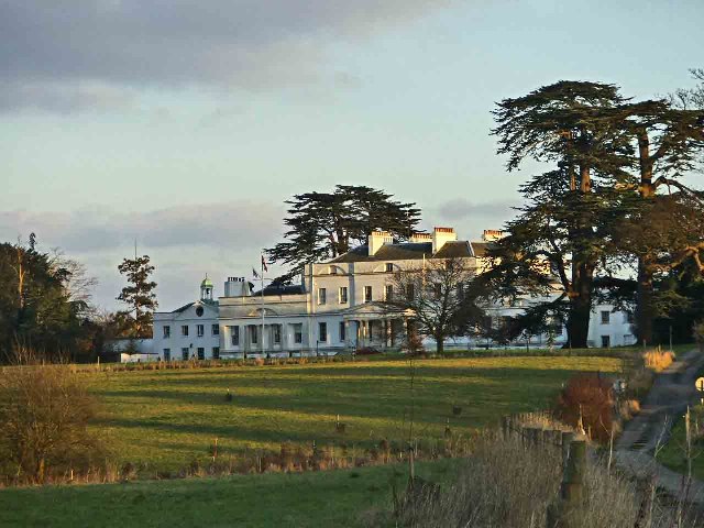
Bayfordbury
Bayfordbury, Hertfordshire, is a large Grade II* listed country house with surrounding parkland, and the location of a University of Hertfordshire campus...

Bayfordbury Observatory
Bayfordbury Observatory is the University of Hertfordshire's astronomical and atmospheric physics remote sensing observatory, and one of the largest teaching...

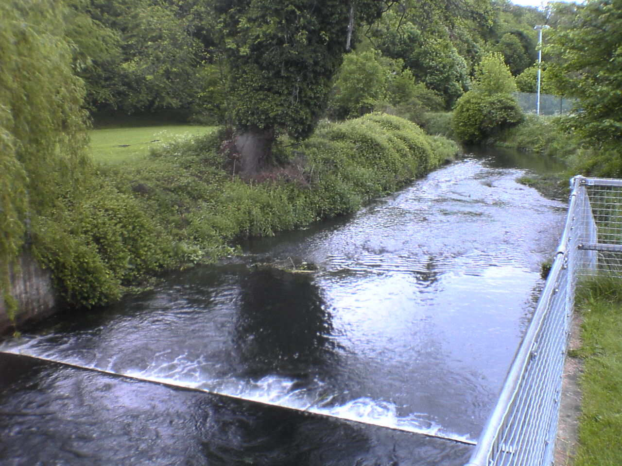
Bayford Brook
Bayford Brook is a minor tributary of the River Lea. It forms in the hills near Bayford, Hertfordshire and joins the River Lea at Horns Mill Weir. The...
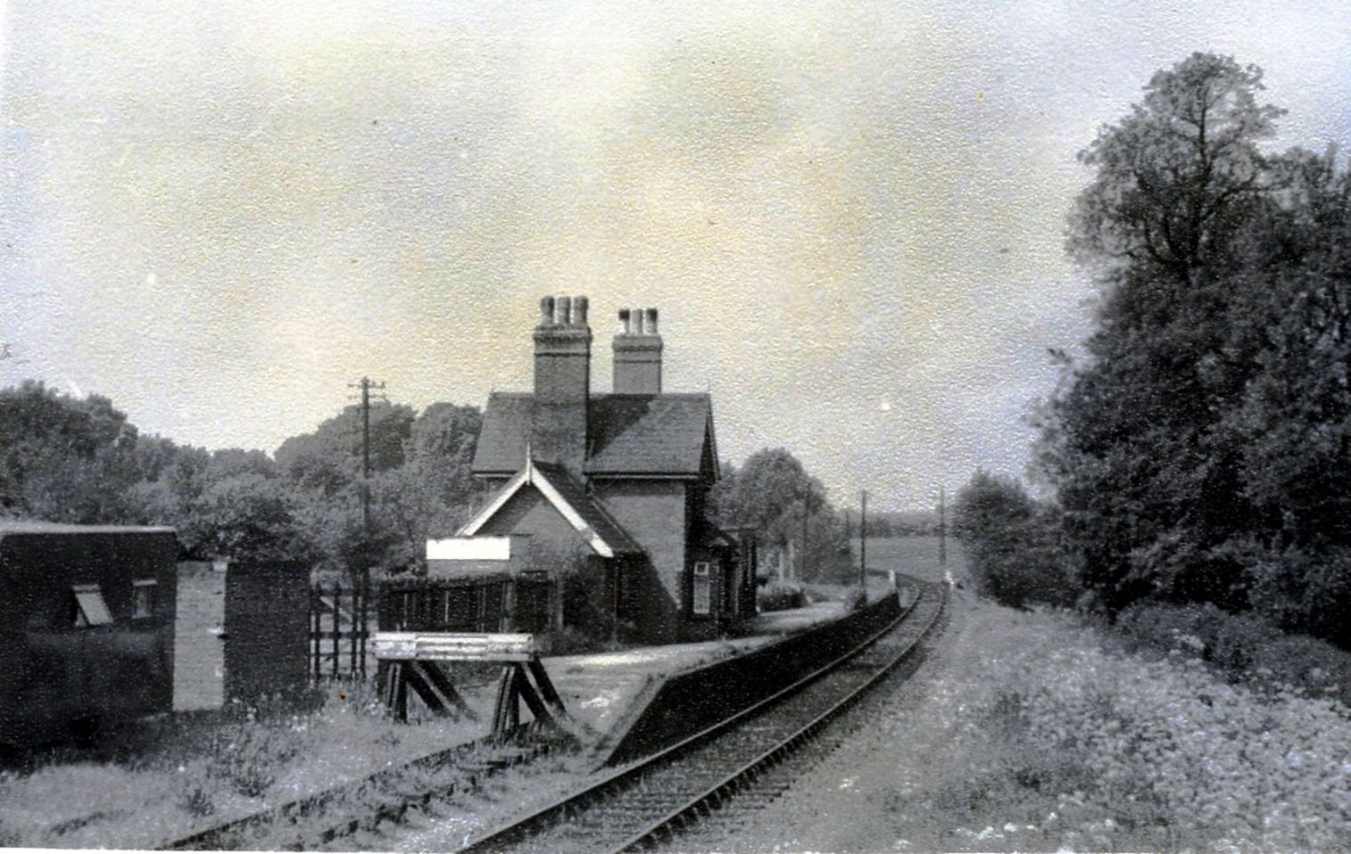
Hertingfordbury railway station
Hertingfordbury railway station was a station at Hertingfordbury, Hertfordshire, England, on the Hertford and Welwyn Junction Railway. It was a passenger...

Hertingfordbury
Hertingfordbury is a small village in Hertfordshire, England, close to the county town of Hertford. It was mentioned in the Domesday Book of 1086. Hertingfordbury...
River Beane
The River Beane is a short river in the county of Hertfordshire, England. A tributary of the River Lea, it rises to the south-west of Sandon in the hills...

Bayford, Hertfordshire
Bayford is a village and civil parish in the East Hertfordshire district of Hertfordshire, England. According to the 2001 census it had a population of...
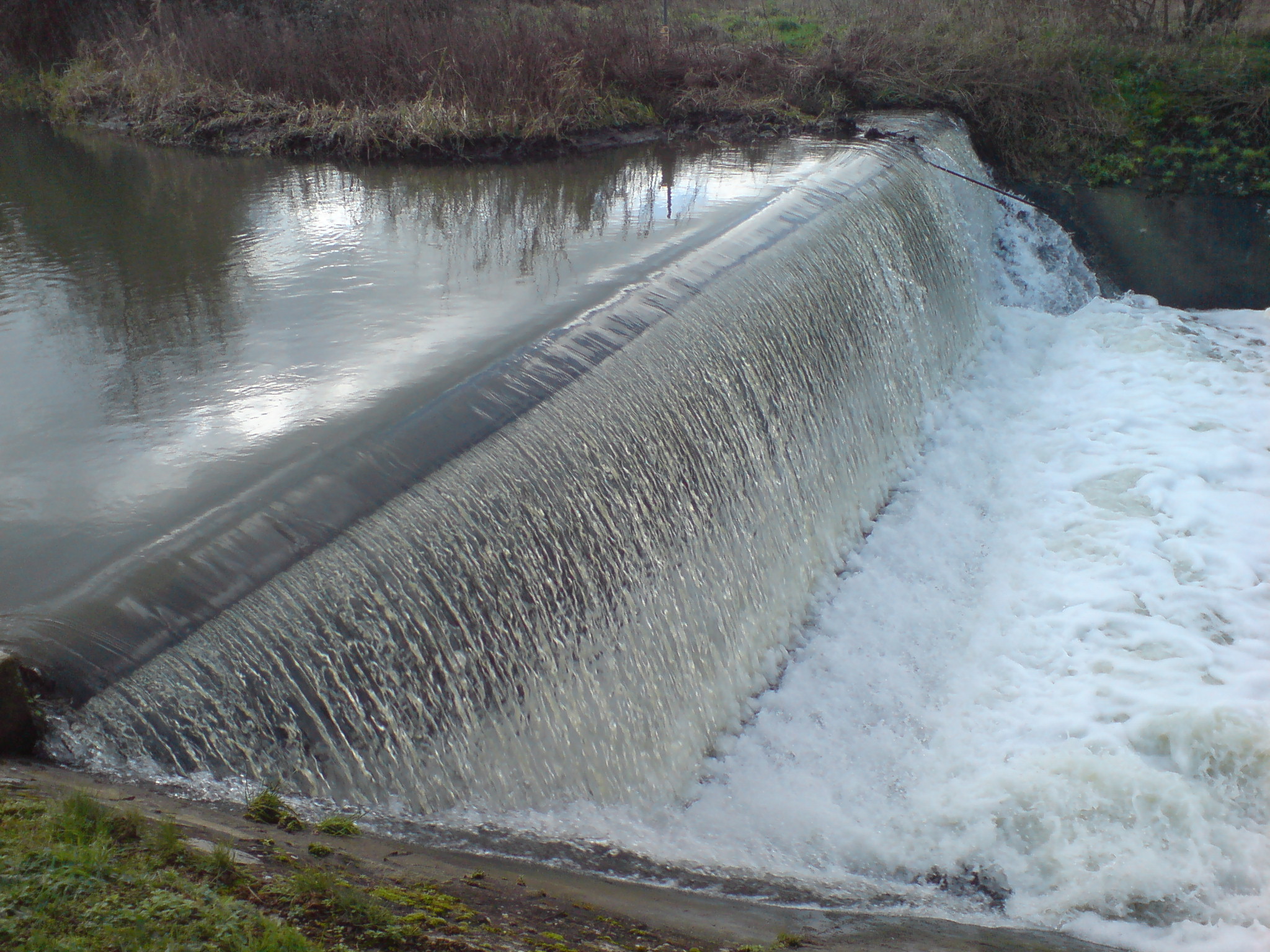
Horns Mill Weir
Horns Mill Weir is a weir on the River Lea, next to Horns Mill, Hertford.
Nearby Amenities
Located within 500m of 51.77509,-0.1068953Have you been to Gravefield Grove?
Leave your review of Gravefield Grove below (or comments, questions and feedback).