Grotto Wood
Wood, Forest in Hertfordshire East Hertfordshire
England
Grotto Wood
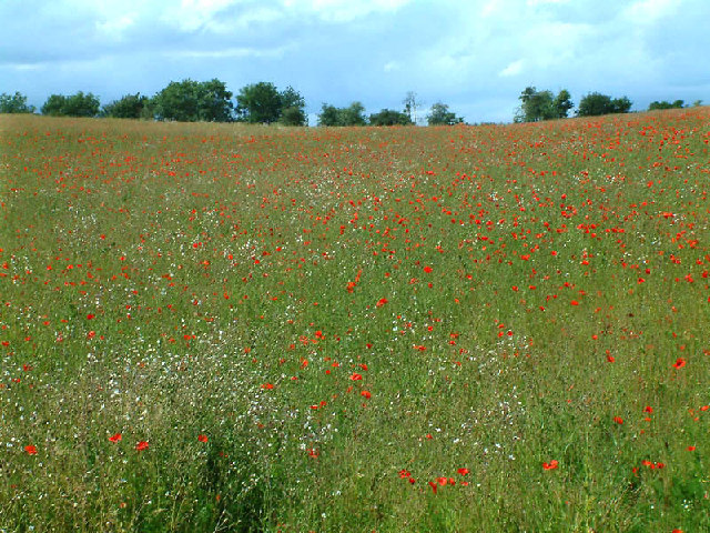
Grotto Wood is a picturesque woodland located in Hertfordshire, England. Covering an area of approximately 20 acres, it is nestled in the heart of the county, attracting nature enthusiasts and visitors alike. The wood is known for its serene atmosphere and diverse flora and fauna.
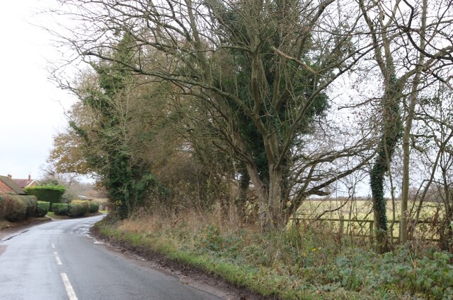
The trees in Grotto Wood predominantly consist of oak, beech, and birch, creating a vibrant and lush canopy that provides shade during the summer months. The forest floor is carpeted with bluebells, wood anemones, and other wildflowers, adding bursts of color to the landscape. The wood is also home to various species of ferns, mosses, and lichens, contributing to its rich biodiversity.
As visitors explore Grotto Wood, they can encounter a wide range of wildlife. Squirrels and rabbits are commonly spotted, while more elusive creatures such as badgers and foxes can occasionally be glimpsed. The wood is also home to a variety of bird species, including woodpeckers, thrushes, and owls, making it a haven for birdwatchers.
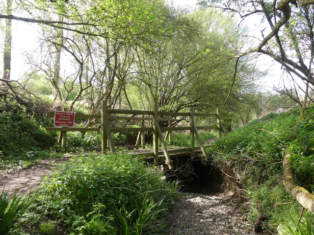
Tranquil walking paths wind their way through the wood, allowing visitors to immerse themselves in its natural beauty. These well-maintained trails offer a peaceful escape from the hustle and bustle of everyday life, making Grotto Wood a popular destination for those seeking solace in nature.
Overall, Grotto Wood in Hertfordshire is a captivating woodland that offers a tranquil retreat and a chance to connect with the natural world. Its diverse ecosystem, scenic beauty, and serene ambiance make it a must-visit destination for nature lovers and outdoor enthusiasts.
If you have any feedback on the listing, please let us know in the comments section below.
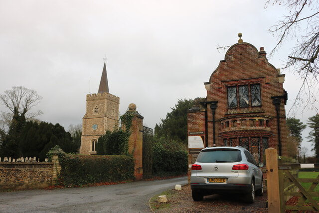
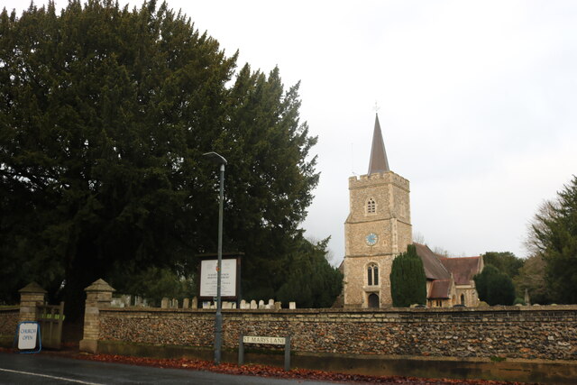
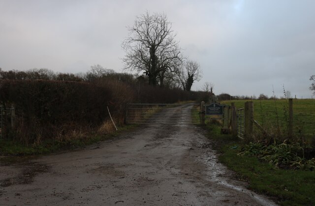
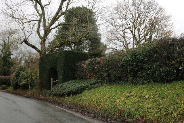
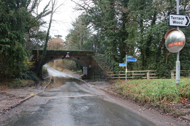
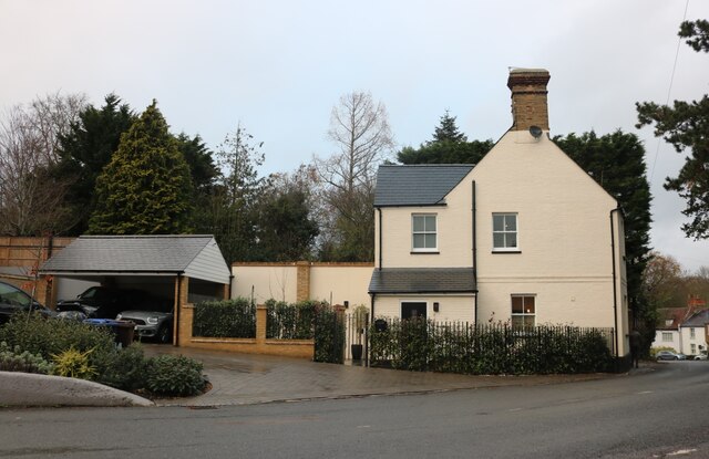
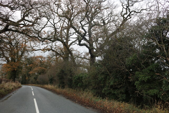
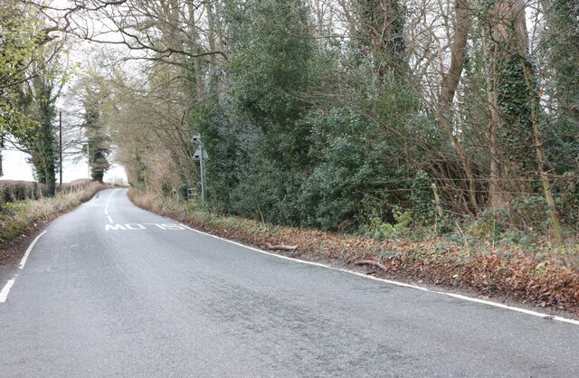
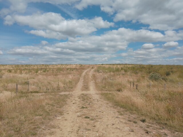
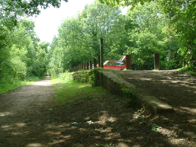
Grotto Wood Images
Images are sourced within 2km of 51.778413/-0.11561355 or Grid Reference TL3010. Thanks to Geograph Open Source API. All images are credited.

Grotto Wood is located at Grid Ref: TL3010 (Lat: 51.778413, Lng: -0.11561355)
Administrative County: Hertfordshire
District: East Hertfordshire
Police Authority: Hertfordshire
What 3 Words
///decks.rope.unions. Near Hertford, Hertfordshire
Nearby Locations
Related Wikis
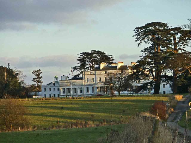
Bayfordbury
Bayfordbury, Hertfordshire, is a large Grade II* listed country house with surrounding parkland, and the location of a University of Hertfordshire campus...

St John's Church, Letty Green
St John's Church, Letty Green, is a deconsecrated Gothic Revival church in Letty Green, Hertfordshire, England. The building was designed by George Fowler...
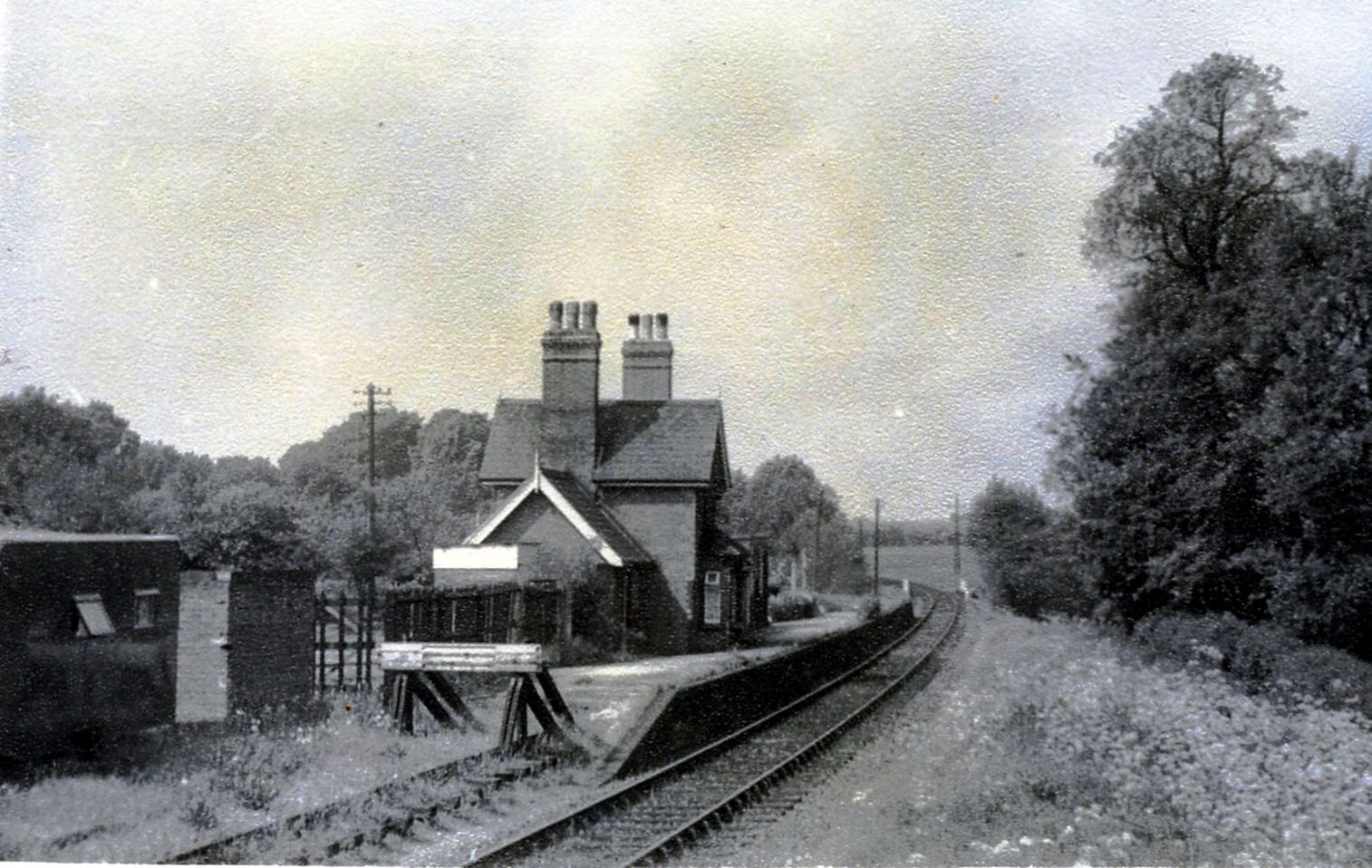
Hertingfordbury railway station
Hertingfordbury railway station was a station at Hertingfordbury, Hertfordshire, England, on the Hertford and Welwyn Junction Railway. It was a passenger...

Bayfordbury Observatory
Bayfordbury Observatory is the University of Hertfordshire's astronomical and atmospheric physics remote sensing observatory, and one of the largest teaching...

Letty Green
Letty Green is a village in the parish of Hertingfordbury, Hertfordshire, England. St John’s Church, Letty Green, the deconsecrated former parish church...
Woolmers Park
Woolmers Park is a Grade II* listed building in Hertfordshire, England. It was the residence of Claude Bowes-Lyon, 14th Earl of Strathmore and Kinghorne...

Hertingfordbury
Hertingfordbury is a small village in Hertfordshire, England, close to the county town of Hertford. It was mentioned in the Domesday Book of 1086. Hertingfordbury...

Cole Green railway station
Cole Green railway station was a station at Cole Green, Hertfordshire, England, on the Hertford and Welwyn Junction Railway. It was a passenger station...
Nearby Amenities
Located within 500m of 51.778413,-0.11561355Have you been to Grotto Wood?
Leave your review of Grotto Wood below (or comments, questions and feedback).