Ridden's Wood
Wood, Forest in Sussex Mid Sussex
England
Ridden's Wood
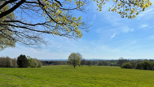
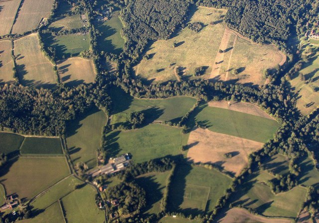
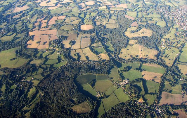
Ridden's Wood is a picturesque woodland located in the county of Sussex, in the southeastern region of England. Covering an area of approximately 100 acres, this enchanting forest is nestled amidst the rolling hills and scenic landscapes that Sussex is renowned for.
The woodland boasts a diverse range of tree species, including oak, beech, and ash, creating a rich tapestry of colors throughout the year. The forest floor is carpeted with a vibrant array of wildflowers, adding to the wood's natural beauty. The dense foliage of the trees provides a haven for numerous bird species, making it a popular spot for birdwatchers.
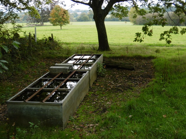
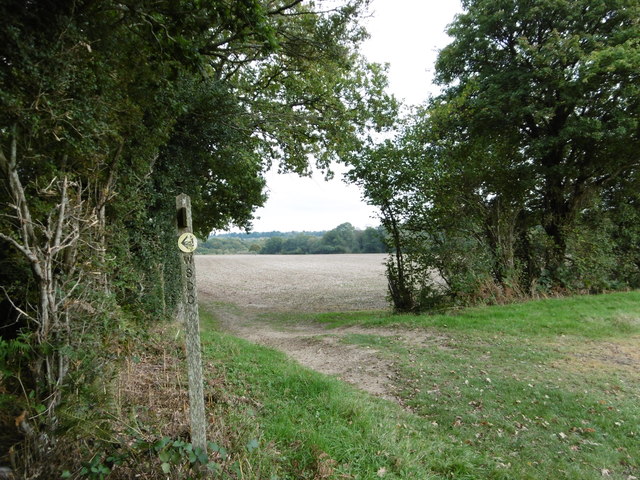
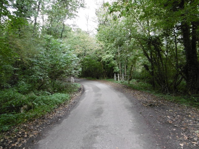
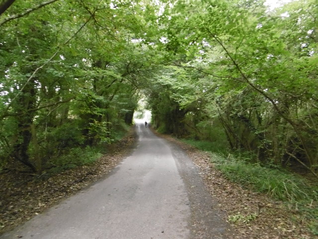
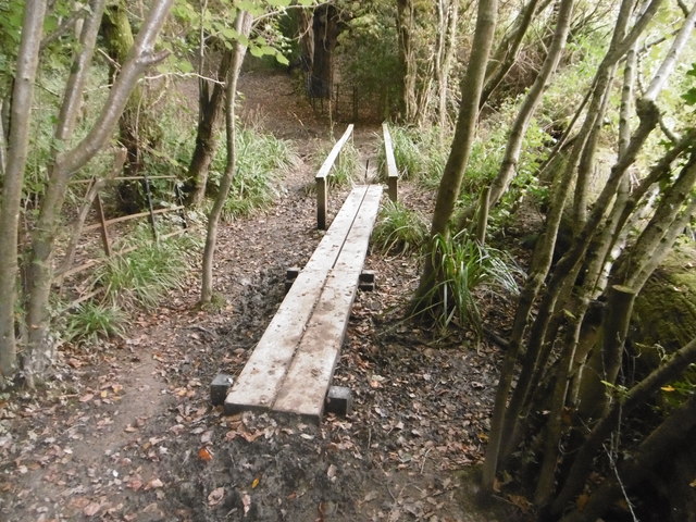
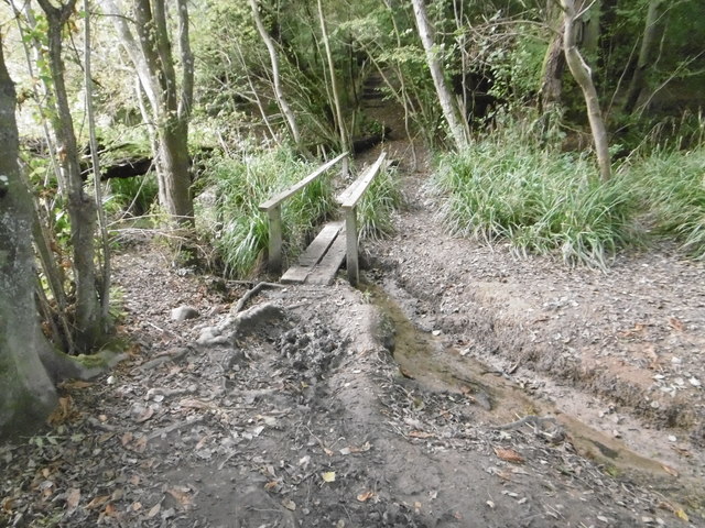
Ridden's Wood offers an extensive network of well-maintained walking trails, allowing visitors to explore its tranquil surroundings. These pathways wind through the forest, offering glimpses of hidden clearings and secluded ponds along the way. The wood is also intersected by a charming stream, adding to its serene atmosphere.
Nature enthusiasts will find an abundance of wildlife within Ridden's Wood. Deer, foxes, and rabbits are commonly spotted, while the more observant visitors may even catch a glimpse of the elusive badger or dormouse. The wood also supports a diverse range of insect life, with butterflies and dragonflies flitting among the trees.
Ridden's Wood is a cherished natural gem in Sussex, attracting visitors seeking solace in nature's embrace. With its idyllic setting, diverse flora and fauna, and well-maintained trails, this enchanting woodland provides a perfect escape from the hustle and bustle of everyday life.
If you have any feedback on the listing, please let us know in the comments section below.
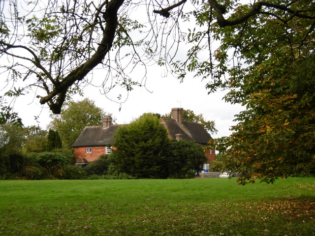
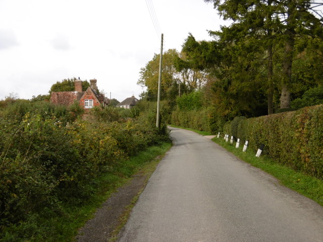
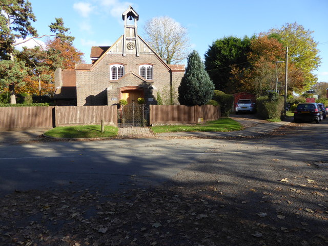
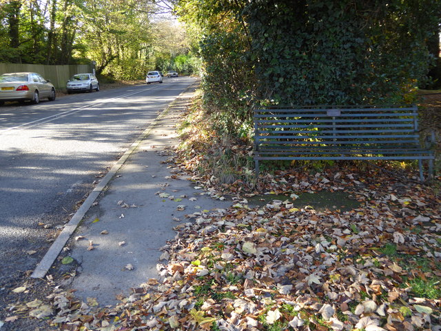
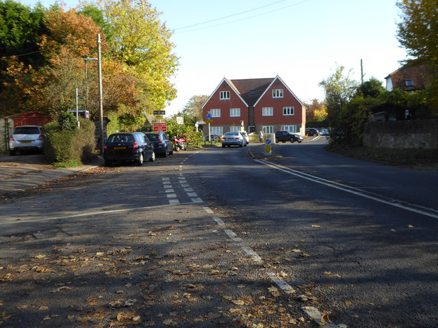
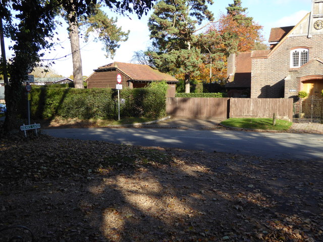
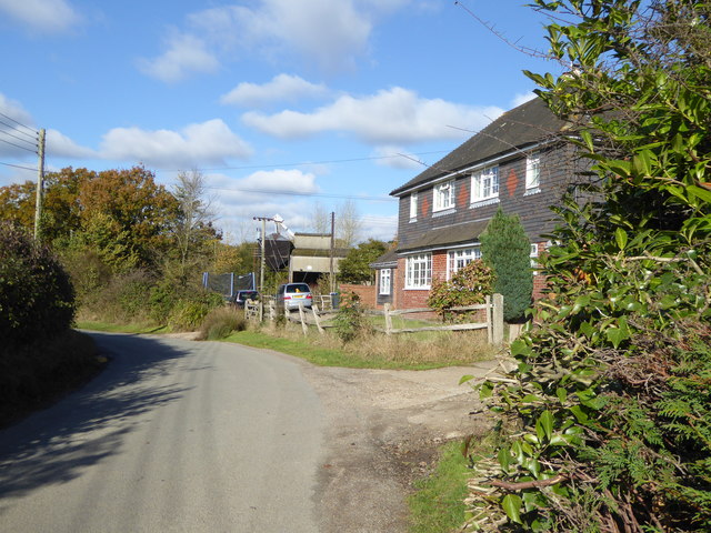
Ridden's Wood Images
Images are sourced within 2km of 50.99272/-0.14762929 or Grid Reference TQ3023. Thanks to Geograph Open Source API. All images are credited.
Ridden's Wood is located at Grid Ref: TQ3023 (Lat: 50.99272, Lng: -0.14762929)
Administrative County: West Sussex
District: Mid Sussex
Police Authority: Sussex
What 3 Words
///unit.forced.yappy. Near Cuckfield, West Sussex
Nearby Locations
Related Wikis

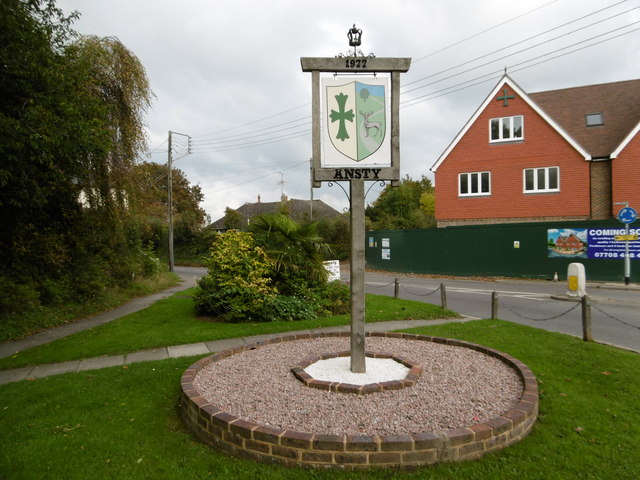
Ansty, West Sussex
Ansty is a village in the Mid Sussex district of West Sussex, England. It lies on the A272 road 1.4 miles (2.2 km) southwest of Cuckfield. It is in the...

Holy Trinity Church, Cuckfield
Holy Trinity Church is an Anglican church in the village of Cuckfield in the district of Mid Sussex; one of seven local government districts in the English...

Ockenden Manor
Ockenden Manor is located in Cuckfield, West Sussex, England. The building itself dates from 1520 and is operated as a hotel and restaurant by the Historic...

Whitemans Green
Whiteman's Green is a place in the north of the large village and civil parish of Cuckfield in the Mid Sussex District of West Sussex, England. It is located...
Warden Park Secondary Academy
Warden Park Secondary Academy is a coeducational secondary school based in Cuckfield (near Haywards Heath), West Sussex, England. == Description == There...

Cuckfield
Cuckfield ( KUUK-feeld) is a village and civil parish in the Mid Sussex District of West Sussex, England, on the southern slopes of the Weald. It lies...

Ashenground and Bolnore Woods
Ashenground and Bolnore Woods is a 14.4-hectare (36-acre) Local Nature Reserve in Haywards Heath in West Sussex. It is owned and managed by Mid Sussex...
Ansty and Staplefield
Ansty and Staplefield, previously Cuckfield Rural, is a civil parish in the Mid Sussex District of West Sussex, England, covering an area from the north...
Nearby Amenities
Located within 500m of 50.99272,-0.14762929Have you been to Ridden's Wood?
Leave your review of Ridden's Wood below (or comments, questions and feedback).