Furnace Wood
Wood, Forest in Sussex Mid Sussex
England
Furnace Wood
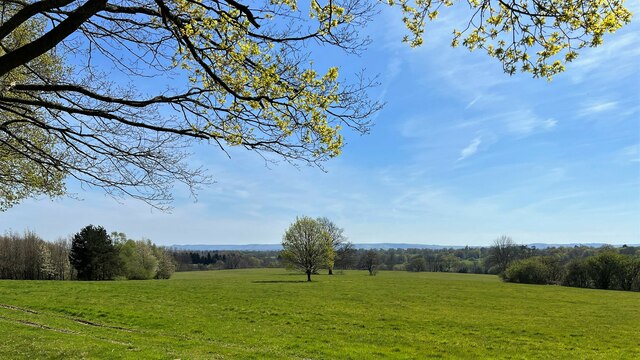
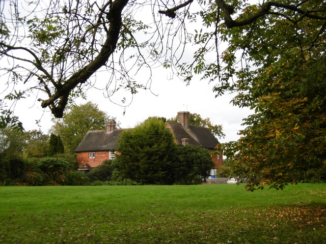
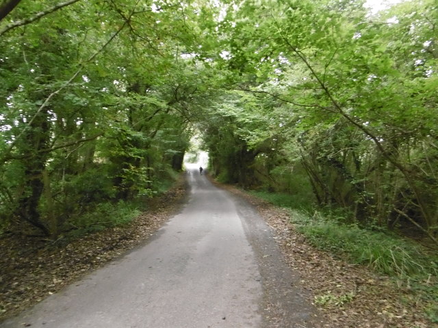
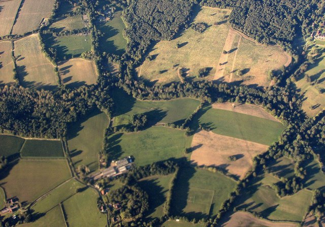
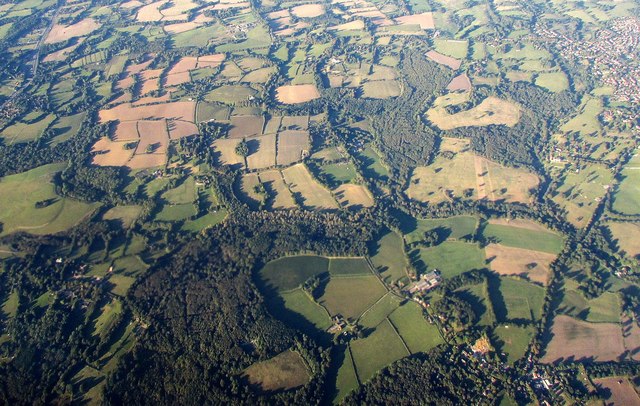
Furnace Wood is a quaint forest located in Sussex, England. Covering an area of approximately 100 acres, it is a popular destination for nature enthusiasts and locals alike. The wood is primarily composed of deciduous trees, such as oak, beech, and birch, creating a beautiful and diverse landscape.
As the name suggests, Furnace Wood has a historical association with ironworking. It is believed that in the past, the wood played a vital role in providing timber for charcoal production, which was used in the local iron industry. Although there are no longer any active furnaces in the area, remnants of this industrial history can still be found, adding a unique charm to the wood.
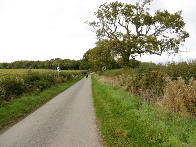
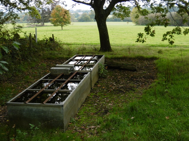
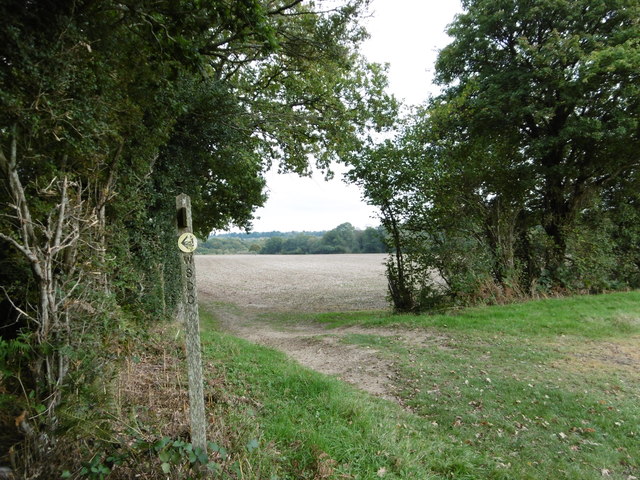
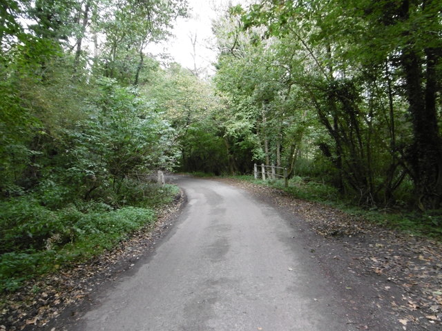
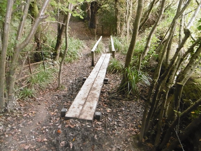
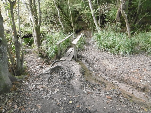
The wood is crisscrossed with a network of well-maintained footpaths and trails, providing visitors with the opportunity to explore its natural beauty. There are also several picnic areas, making it an ideal spot for a family outing or a peaceful day of relaxation. The wood is home to a variety of wildlife, including deer, foxes, and numerous bird species, making it a haven for nature lovers and birdwatchers.
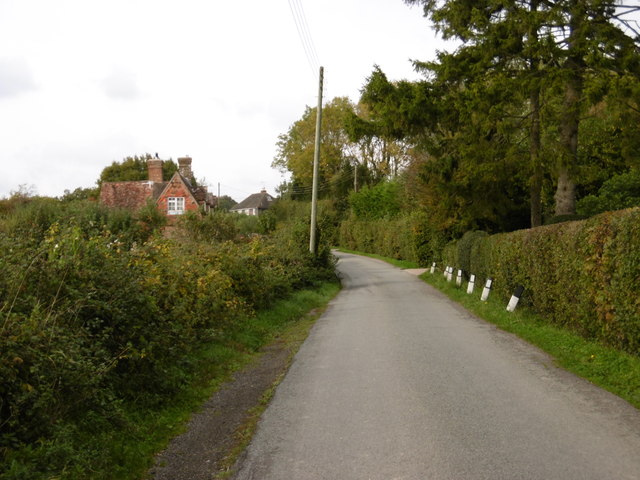
Furnace Wood is conveniently located near several towns and villages, making it easily accessible for both locals and tourists. It offers a serene and tranquil escape from the hustle and bustle of everyday life, with its picturesque scenery and peaceful atmosphere. Whether visitors are seeking a leisurely stroll, a picnic with loved ones, or a chance to reconnect with nature, Furnace Wood is the perfect destination.
If you have any feedback on the listing, please let us know in the comments section below.
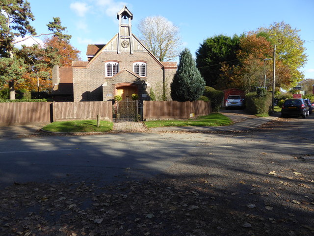
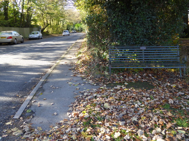
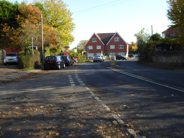
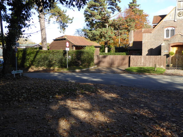
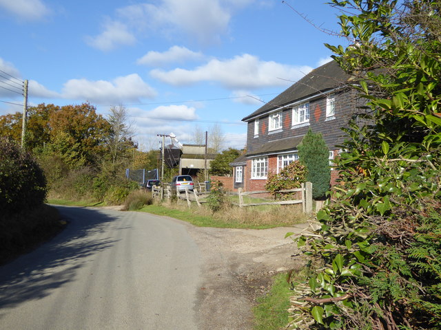
Furnace Wood Images
Images are sourced within 2km of 50.993816/-0.14416555 or Grid Reference TQ3023. Thanks to Geograph Open Source API. All images are credited.
Furnace Wood is located at Grid Ref: TQ3023 (Lat: 50.993816, Lng: -0.14416555)
Administrative County: West Sussex
District: Mid Sussex
Police Authority: Sussex
What 3 Words
///venue.visa.remote. Near Cuckfield, West Sussex
Nearby Locations
Related Wikis

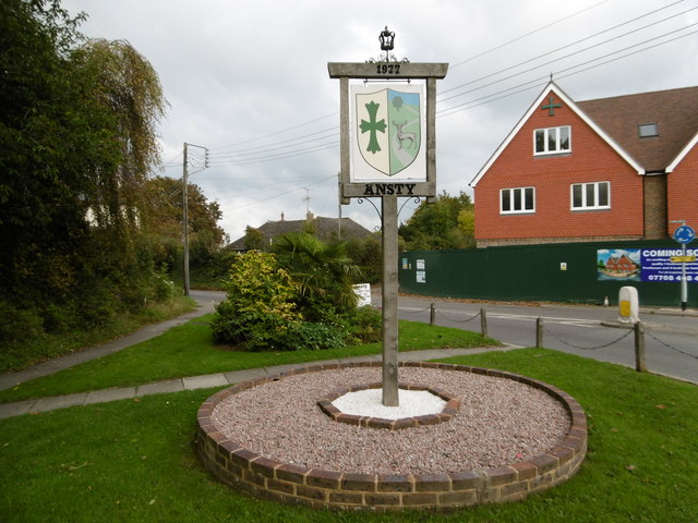
Ansty, West Sussex
Ansty is a village in the Mid Sussex district of West Sussex, England. It lies on the A272 road 1.4 miles (2.2 km) southwest of Cuckfield. It is in the...

Holy Trinity Church, Cuckfield
Holy Trinity Church is an Anglican church in the village of Cuckfield in the district of Mid Sussex; one of seven local government districts in the English...

Whitemans Green
Whiteman's Green is a place in the north of the large village and civil parish of Cuckfield in the Mid Sussex District of West Sussex, England. It is located...

Ockenden Manor
Ockenden Manor is located in Cuckfield, West Sussex, England. The building itself dates from 1520 and is operated as a hotel and restaurant by the Historic...
Warden Park Secondary Academy
Warden Park Secondary Academy is a coeducational secondary school based in Cuckfield (near Haywards Heath), West Sussex, England. == Description == There...

Cuckfield
Cuckfield ( KUUK-feeld) is a village and civil parish in the Mid Sussex District of West Sussex, England, on the southern slopes of the Weald. It lies...

Ashenground and Bolnore Woods
Ashenground and Bolnore Woods is a 14.4-hectare (36-acre) Local Nature Reserve in Haywards Heath in West Sussex. It is owned and managed by Mid Sussex...

Cuckfield & Lucastes (electoral division)
Cuckfield & Lucastes is an electoral division of West Sussex in England, and returns one member to sit on West Sussex County Council. == Extent == The...
Nearby Amenities
Located within 500m of 50.993816,-0.14416555Have you been to Furnace Wood?
Leave your review of Furnace Wood below (or comments, questions and feedback).