Brook Wood
Wood, Forest in Sussex Mid Sussex
England
Brook Wood

Brook Wood, located in Sussex, England, is a picturesque woodland area known for its natural beauty and diverse ecosystem. Covering an expansive area, the wood is situated in close proximity to the town of Horsham, making it easily accessible for visitors.
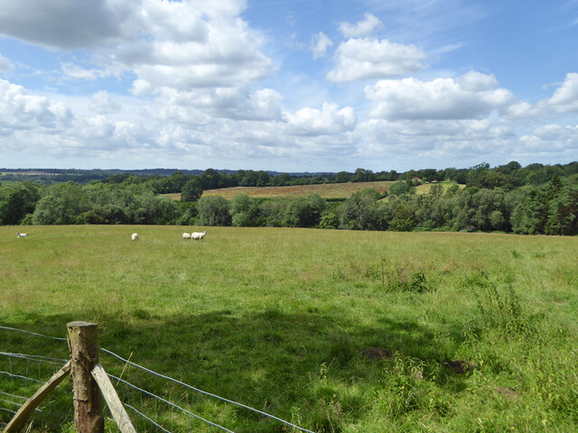
One of the defining features of Brook Wood is its dense tree cover, primarily consisting of oak, beech, and ash trees. The rich vegetation creates a serene and tranquil atmosphere, making it a popular destination for nature enthusiasts and hikers looking to explore the great outdoors. The wood is also home to a variety of wildlife, including deer, rabbits, and various bird species, making it a haven for wildlife enthusiasts and photographers alike.
Traversing through the wood, visitors will come across a network of well-maintained footpaths, offering a chance to explore the area at their own pace. These paths wind through the forest, leading to beautiful spots such as babbling brooks and small ponds, adding to the charm of the wood.
Brook Wood is not only a natural sanctuary but also a historically significant site. The wood has been inhabited since ancient times, with evidence of Iron Age settlements found within its boundaries. Remnants of these settlements, such as earthworks and burial mounds, can still be seen today, providing an insight into the region's past.
Overall, Brook Wood offers a peaceful retreat from the hustle and bustle of everyday life, allowing visitors to immerse themselves in nature's wonders while appreciating the historical significance of the area.
If you have any feedback on the listing, please let us know in the comments section below.
Brook Wood Images
Images are sourced within 2km of 51.05326/-0.14184727 or Grid Reference TQ3029. Thanks to Geograph Open Source API. All images are credited.


Brook Wood is located at Grid Ref: TQ3029 (Lat: 51.05326, Lng: -0.14184727)
Administrative County: West Sussex
District: Mid Sussex
Police Authority: Sussex
What 3 Words
///published.worthy.trader. Near Balcombe, West Sussex
Nearby Locations
Related Wikis

Balcombe railway station
Balcombe railway station is on the Brighton Main Line in England, serving the village of Balcombe, West Sussex. It is 33 miles 64 chains (54.4 km) down...
Balcombe
Balcombe is a village and civil parish in the Mid Sussex District of West Sussex, England. It lies 31 miles (50 km) south of London, 16 miles (26 km) north...
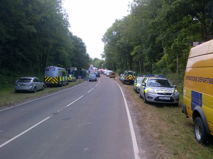
Balcombe drilling protest
The Balcombe drilling protest occurred when test drilling and possible fracking for petroleum were proposed in 2012 near Balcombe, a village in West Sussex...

Brantridge Park
Brantridge Park, Balcombe, West Sussex, England is a 19th-century country house, formerly one of the lesser royal residences. It is a Grade II listed building...
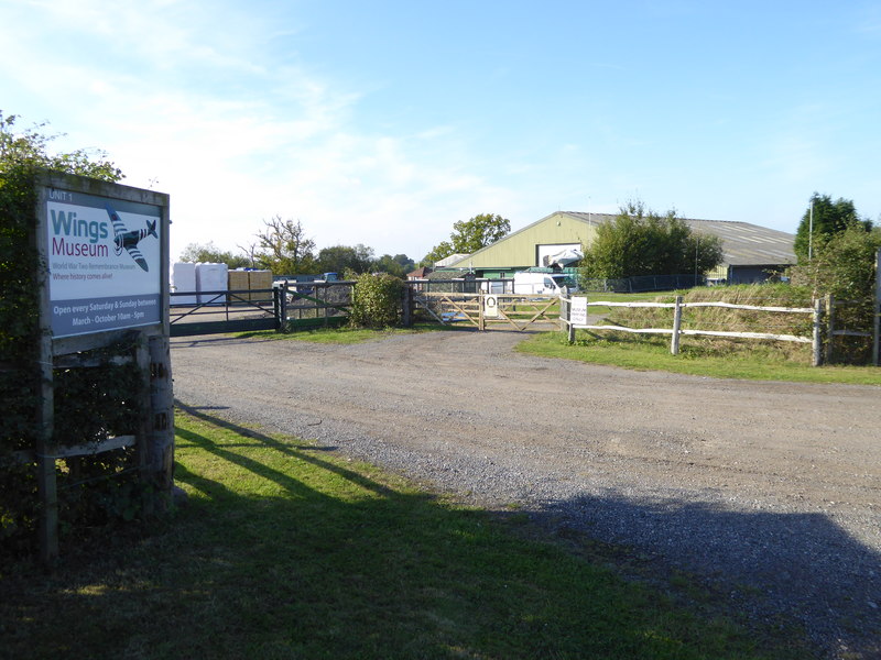
Wings Museum
The Wings Museum is an aviation museum located in Sussex, United Kingdom. It is housed in a 12,000 square feet (1,100 m2) hangar-like former farm building...
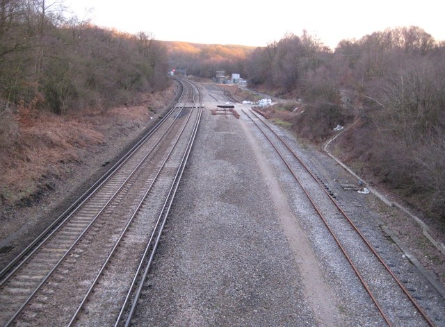
Balcombe tunnel
Balcombe tunnel is a railway tunnel on the Brighton Main Line through the Sussex Weald between Three Bridges and Balcombe. It is 1,034 metres (1,131 yards...

Tyes Place
Tyes Place is a listed historic manor house in Staplefield, West Sussex, England. It was once a farm, then in the first half of the 20th century it was...
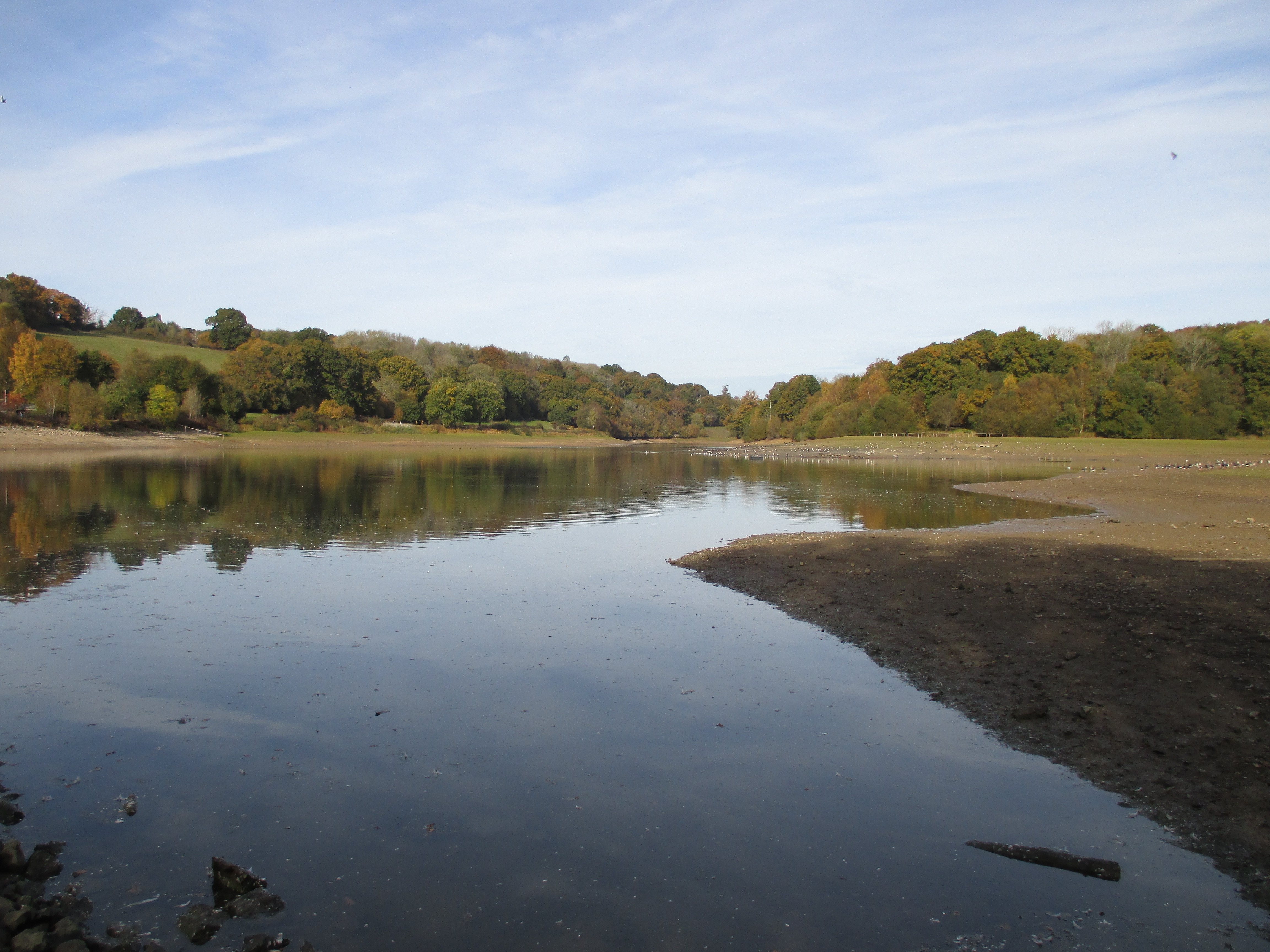
Ardingly Reservoir
Ardingly Reservoir is west of Ardingly in West Sussex. The southern end is a 74.5-hectare (184-acre) Local Nature Reserve owned and managed by South East...
Nearby Amenities
Located within 500m of 51.05326,-0.14184727Have you been to Brook Wood?
Leave your review of Brook Wood below (or comments, questions and feedback).