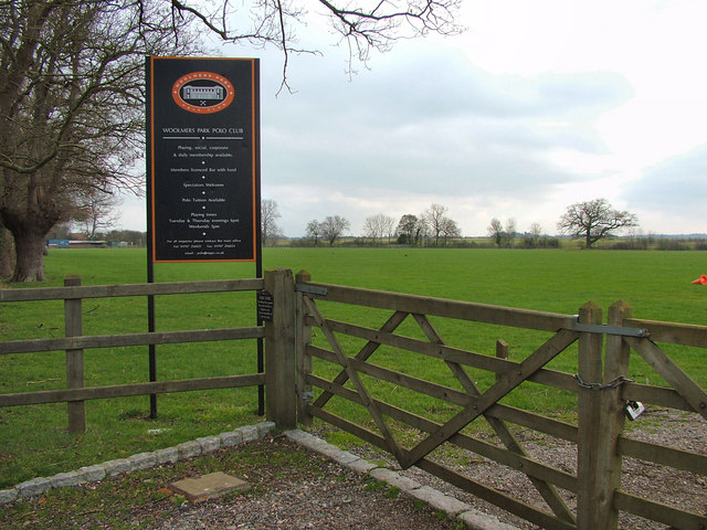
Southfield Wood
Wood, Forest in Hertfordshire East Hertfordshire
England
Southfield Wood
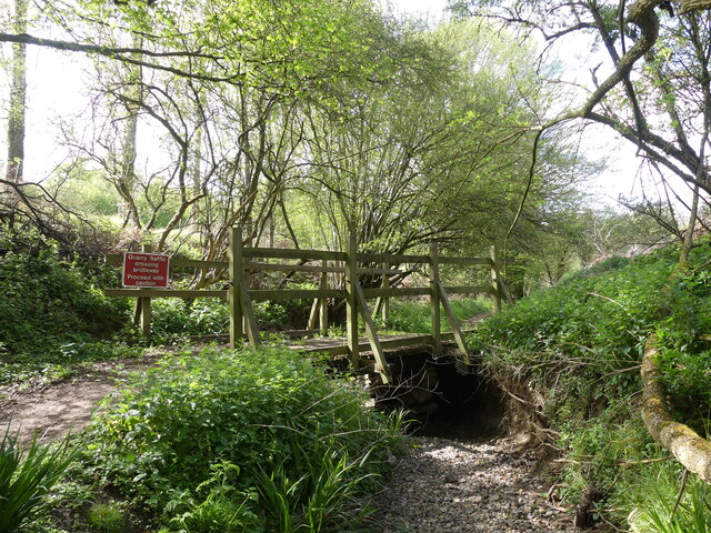
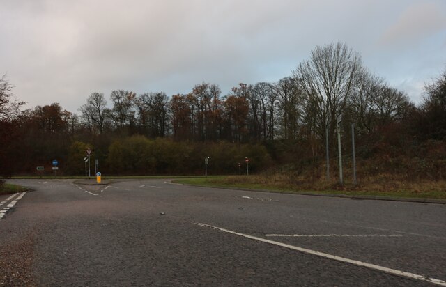
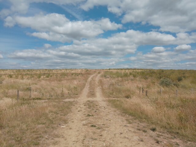
Southfield Wood is a picturesque woodland located in Hertfordshire, England. Spanning an area of approximately 100 acres, this forest is known for its natural beauty and diverse wildlife. Situated near the village of Southfield, the wood is easily accessible and attracts visitors from both nearby towns and further afield.
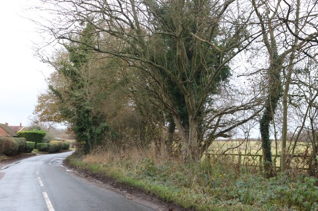
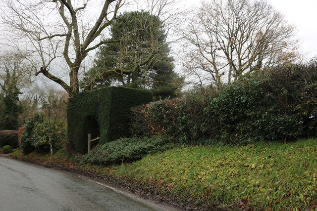
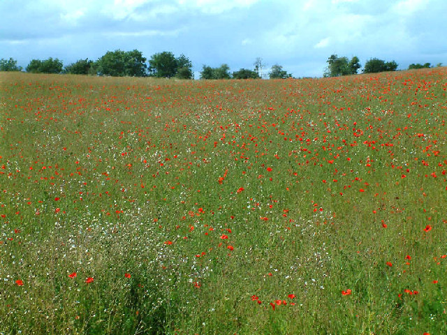
The woodland is predominantly made up of deciduous trees such as oak, beech, and birch, creating a vibrant and colorful landscape throughout the seasons. The forest floor is covered with a rich carpet of bluebells in spring, adding to the enchanting atmosphere of the area.
Southfield Wood is not only a haven for nature enthusiasts but also serves as an important habitat for a variety of wildlife. It is home to numerous species of birds, including woodpeckers, tits, and thrushes. The forest's diverse ecosystem also supports a range of mammals, such as rabbits, squirrels, and foxes.
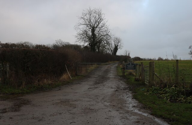
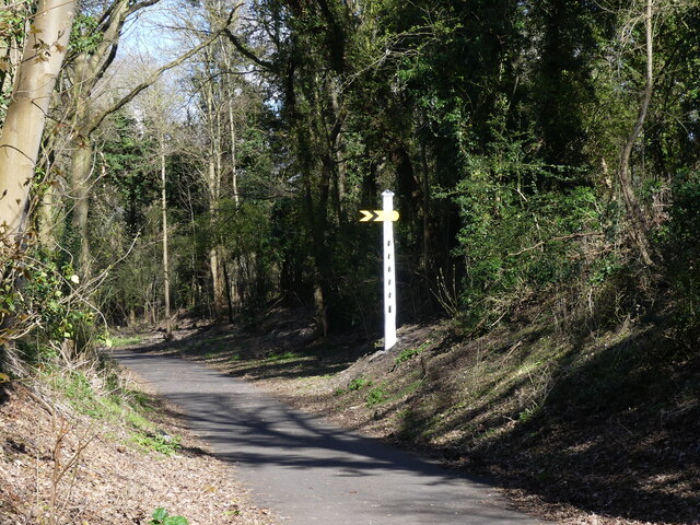
For those seeking outdoor activities, Southfield Wood offers several walking trails that wind through its picturesque pathways. These trails provide an opportunity to explore the forest's natural wonders at a leisurely pace, while also offering stunning views of the surrounding countryside.
The wood is managed by the local council, which ensures its preservation and maintenance. Visitors are encouraged to respect the natural environment and adhere to any guidelines or restrictions in place, such as designated picnic areas and dog walking rules.
Overall, Southfield Wood is a hidden gem in Hertfordshire, offering a tranquil escape from the hustle and bustle of everyday life. Its natural beauty and diverse wildlife make it a popular destination for nature lovers and outdoor enthusiasts alike.
If you have any feedback on the listing, please let us know in the comments section below.
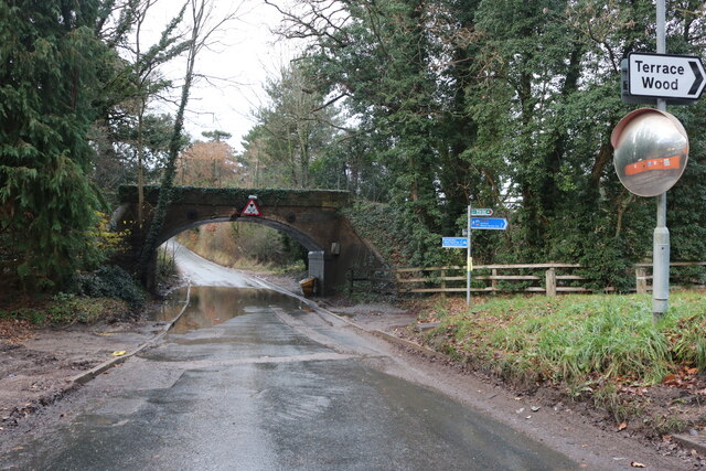
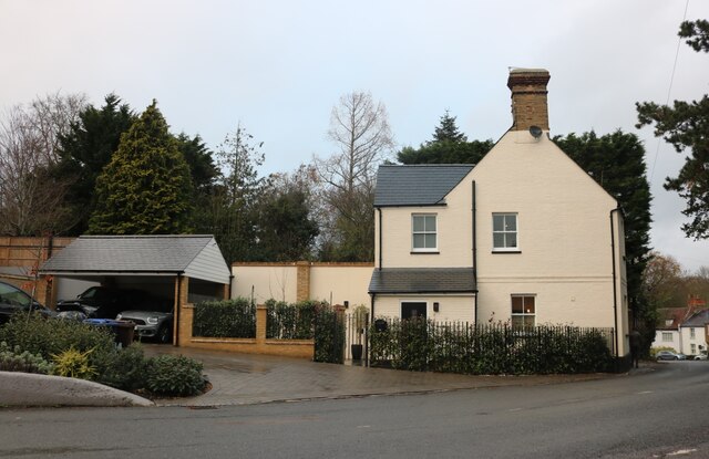
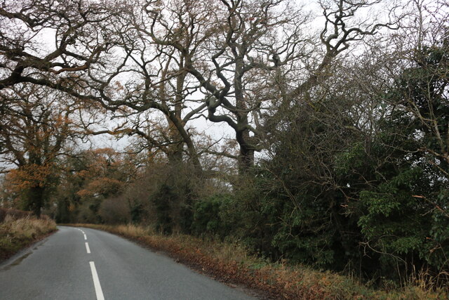
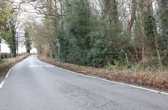
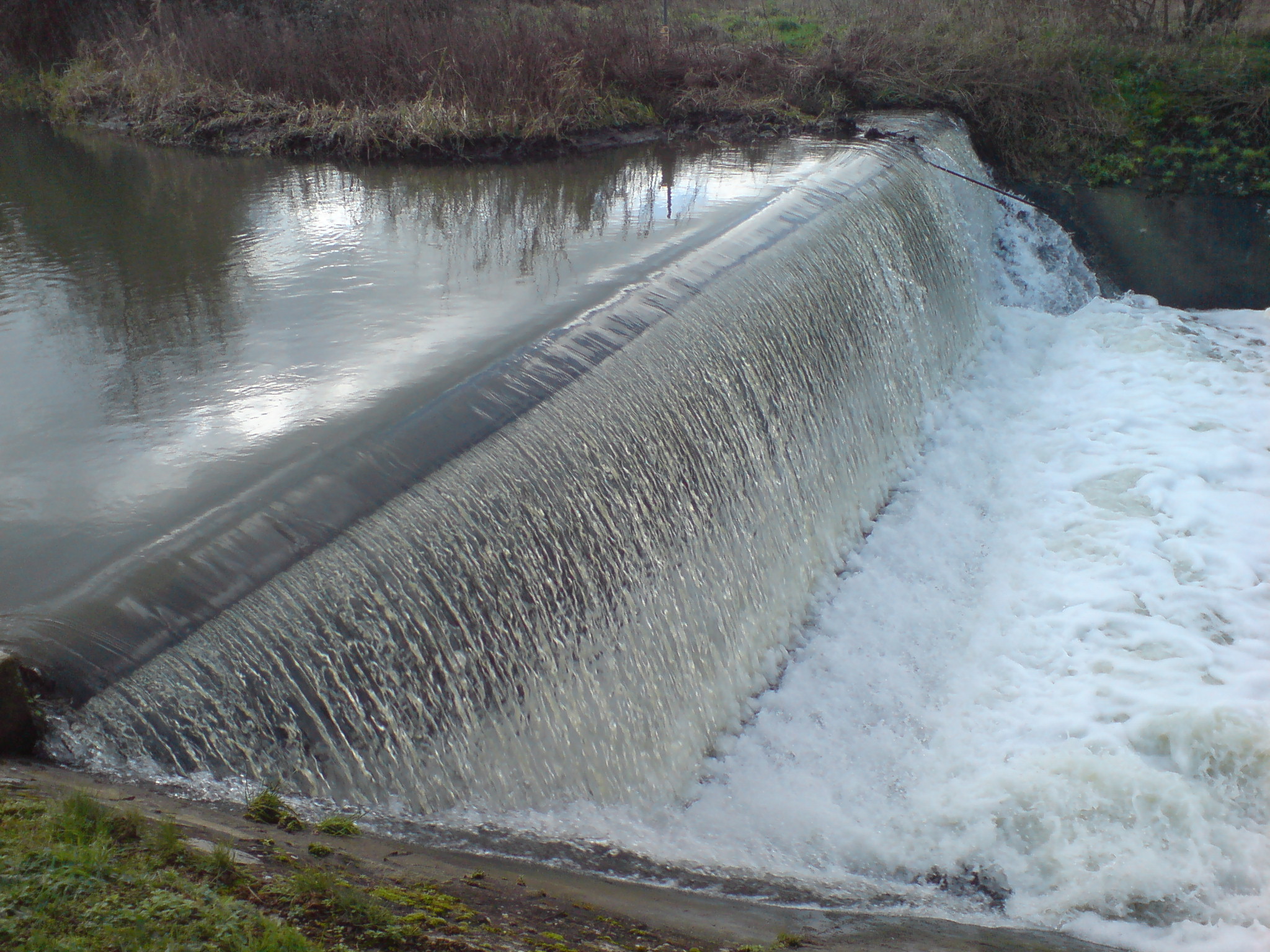
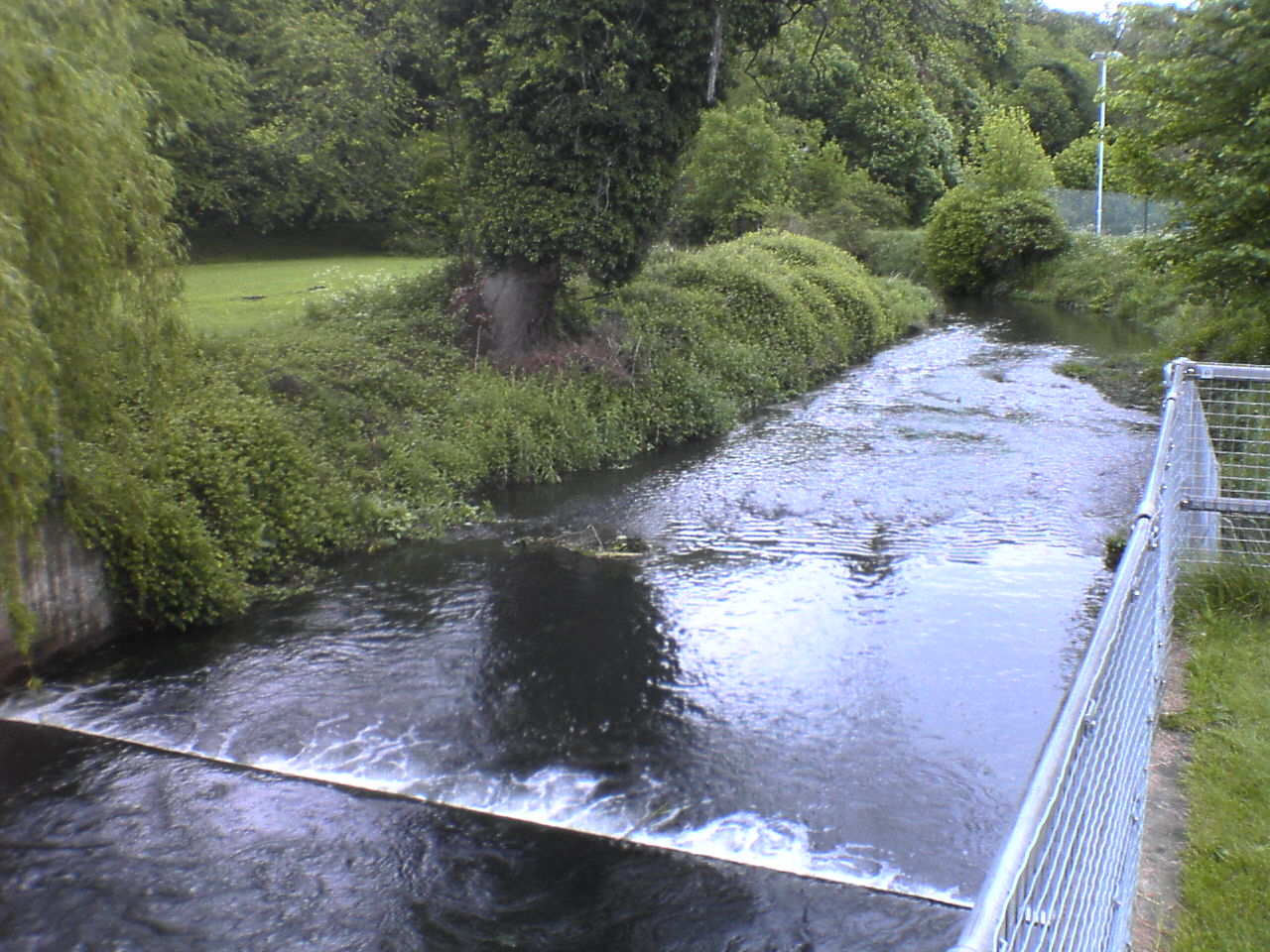
Southfield Wood Images
Images are sourced within 2km of 51.781414/-0.10925465 or Grid Reference TL3010. Thanks to Geograph Open Source API. All images are credited.

Southfield Wood is located at Grid Ref: TL3010 (Lat: 51.781414, Lng: -0.10925465)
Administrative County: Hertfordshire
District: East Hertfordshire
Police Authority: Hertfordshire
What 3 Words
///busy.scuba.broke. Near Hertford, Hertfordshire
Nearby Locations
Related Wikis
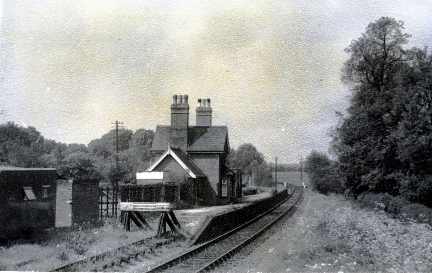
Hertingfordbury railway station
Hertingfordbury railway station was a station at Hertingfordbury, Hertfordshire, England, on the Hertford and Welwyn Junction Railway. It was a passenger...

Hertingfordbury
Hertingfordbury is a small village in Hertfordshire, England, close to the county town of Hertford. It was mentioned in the Domesday Book of 1086. Hertingfordbury...
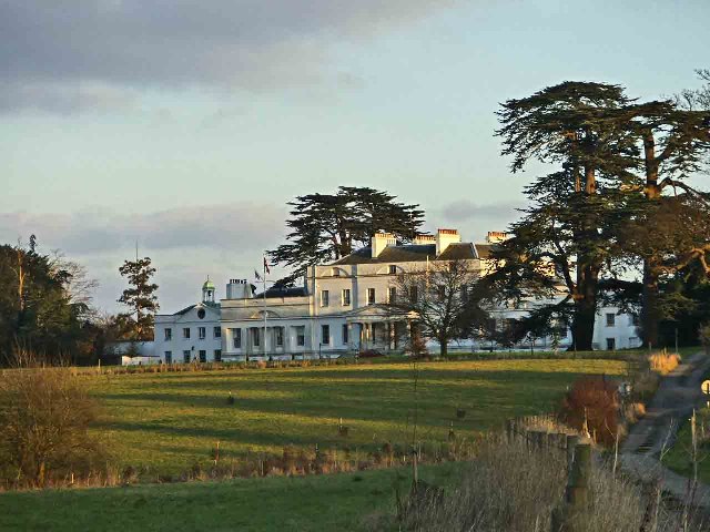
Bayfordbury
Bayfordbury, Hertfordshire, is a large Grade II* listed country house with surrounding parkland, and the location of a University of Hertfordshire campus...

Bayfordbury Observatory
Bayfordbury Observatory is the University of Hertfordshire's astronomical and atmospheric physics remote sensing observatory, and one of the largest teaching...

Bayford Brook
Bayford Brook is a minor tributary of the River Lea. It forms in the hills near Bayford, Hertfordshire and joins the River Lea at Horns Mill Weir. The...
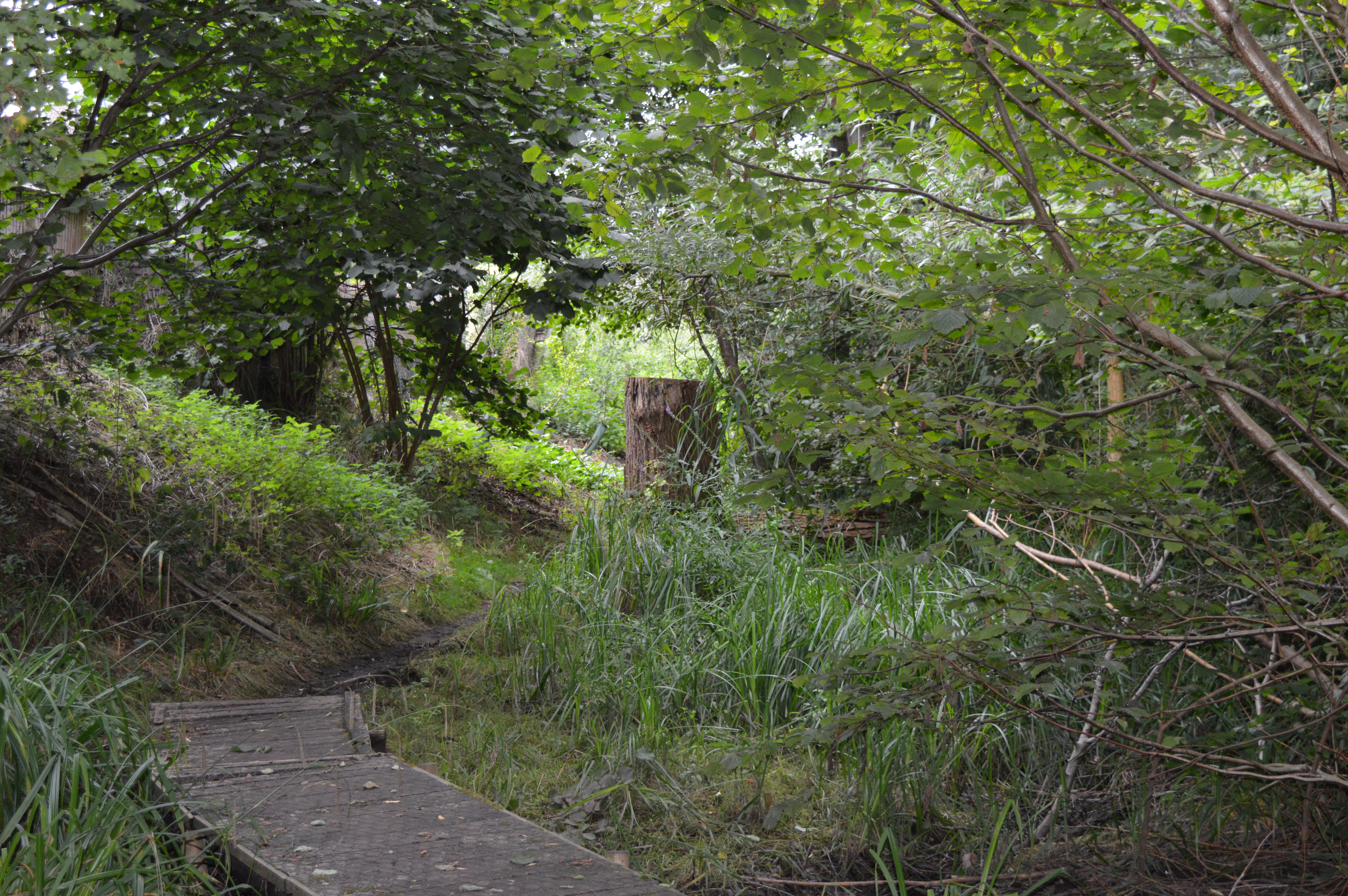
Willowmead
Willowmead is a 1.5-hectare (3.7-acre) nature reserve in north Hertford. It is managed by the Herts and Middlesex Wildlife Trust.The site is on the bank...
Horns Mill Weir
Horns Mill Weir is a weir on the River Lea, next to Horns Mill, Hertford.
River Beane
The River Beane is a short river in the county of Hertfordshire, England. A tributary of the River Lea, it rises to the south-west of Sandon in the hills...
Related Videos

Walk to Hertford
Created with the #GoPro App on my iPhone.
NHRG e-walks, e-walk 76, Letty Green Circular. 13/8/21
Save for the first section of road walking, another very decent 10.4 miler from North Herts Ramblers, on a partly sunny, though ...

MODERN MANSION!!!! House tour (My first video! )
Packs: Modern Mansion: Snuggle Cubs Furniture Pack: Vacation Pool Villa:
Nearby Amenities
Located within 500m of 51.781414,-0.10925465Have you been to Southfield Wood?
Leave your review of Southfield Wood below (or comments, questions and feedback).