Chalk Dell
Valley in Hertfordshire East Hertfordshire
England
Chalk Dell
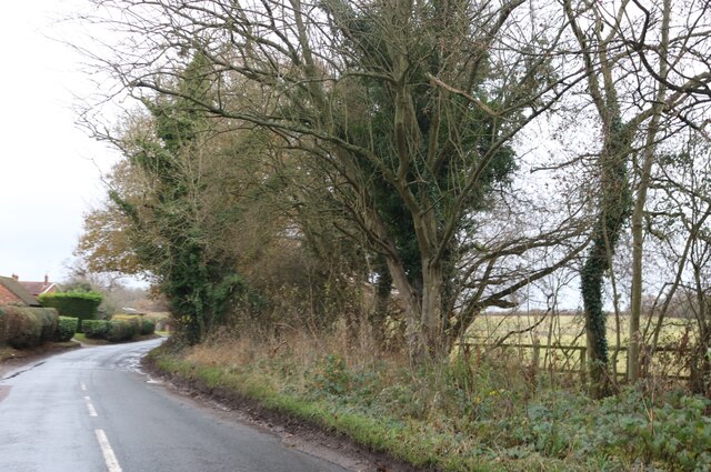
Chalk Dell is a picturesque valley located in Hertfordshire, England. Situated near the town of Hitchin, the dell is a natural wonder that attracts visitors with its stunning beauty and tranquil atmosphere.
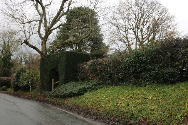
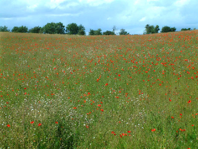
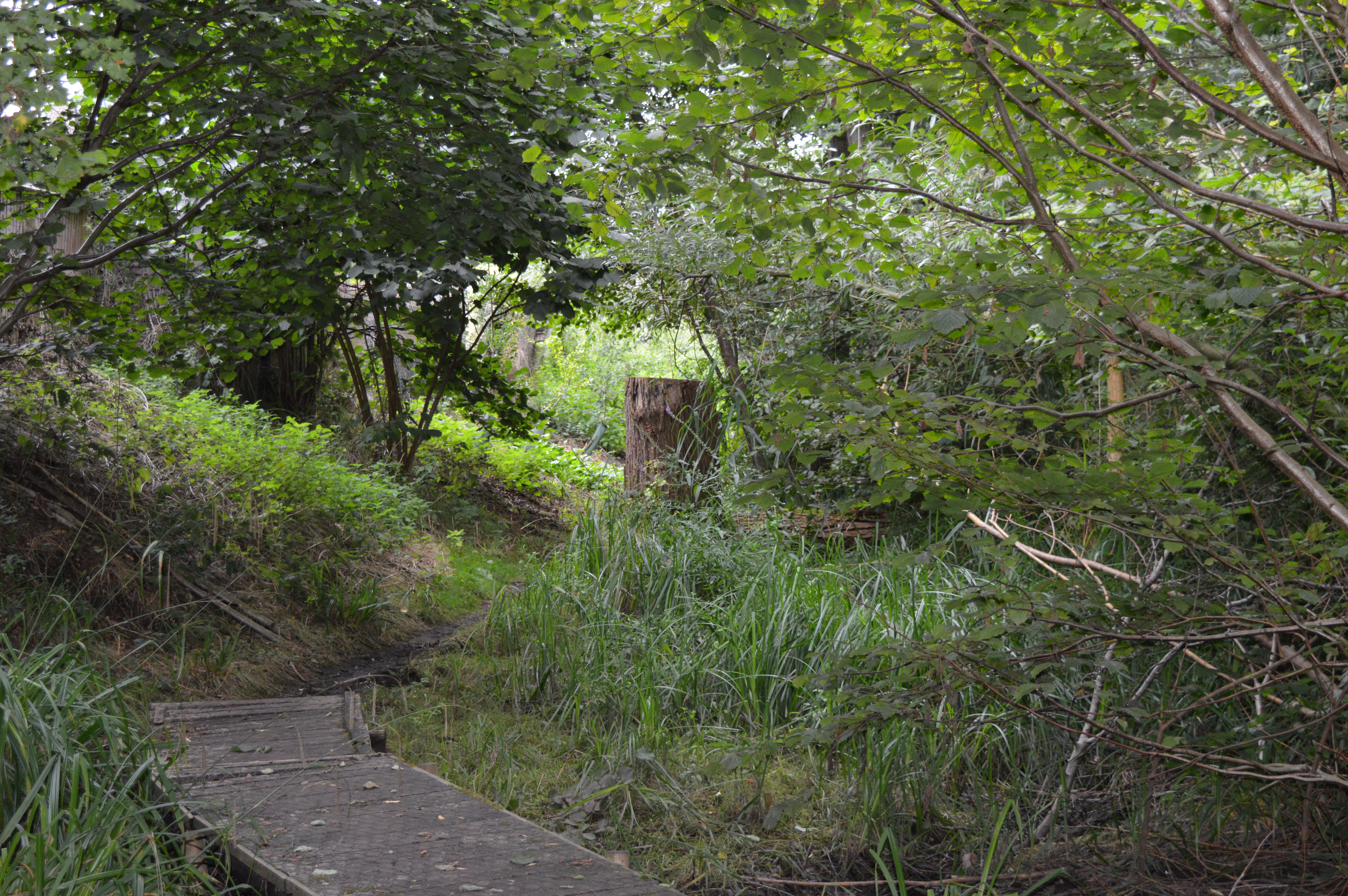
The valley is characterized by its chalky landscape, which gives it a unique charm. The chalk cliffs that line the dell create an impressive backdrop, towering above the lush greenery below. The vegetation in Chalk Dell is diverse and abundant, with a variety of trees, wildflowers, and grasses covering the slopes.
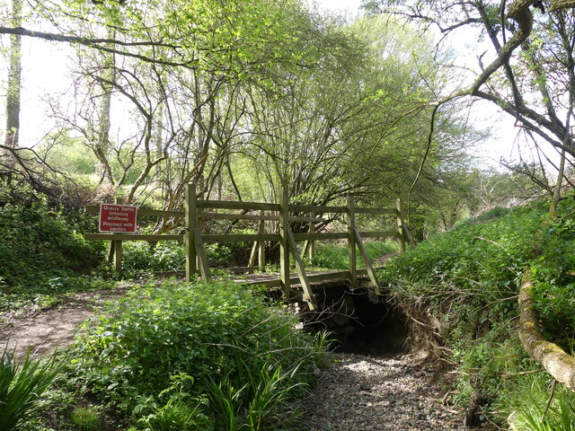
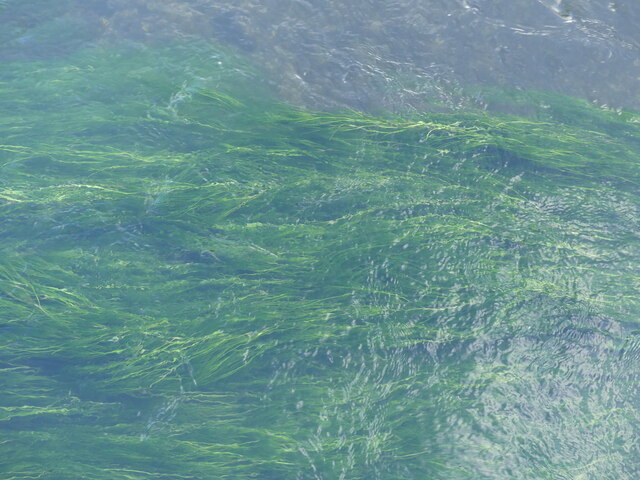
One of the standout features of Chalk Dell is the presence of a small stream that meanders through the valley. This stream adds to the serenity of the place, offering a peaceful soundtrack as it trickles over the rocks. The stream also provides a habitat for various species of wildlife, including ducks, herons, and small fish.
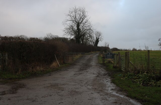
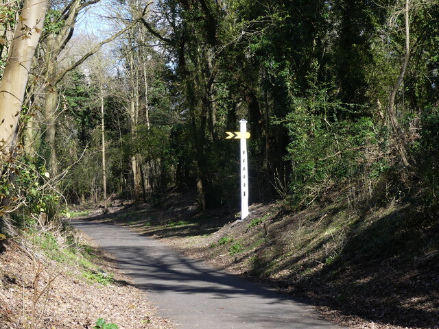
The dell is a popular spot for outdoor enthusiasts, with several walking trails winding through its picturesque landscape. These trails offer visitors the opportunity to explore the valley and take in the breathtaking views from different vantage points. The dell is also a favorite spot for picnickers and nature lovers, who can enjoy a leisurely day in this idyllic setting.
Overall, Chalk Dell in Hertfordshire is a true gem of natural beauty. With its chalk cliffs, diverse vegetation, and peaceful stream, it offers a tranquil escape from the hustle and bustle of everyday life. Whether you are a nature lover, a hiker, or simply seeking a peaceful retreat, Chalk Dell is a must-visit destination in Hertfordshire.
If you have any feedback on the listing, please let us know in the comments section below.
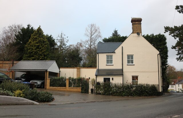
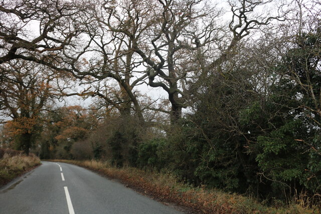
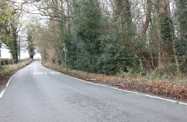
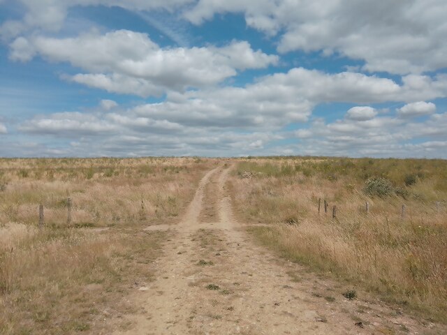
Chalk Dell Images
Images are sourced within 2km of 51.779522/-0.11071094 or Grid Reference TL3010. Thanks to Geograph Open Source API. All images are credited.
Chalk Dell is located at Grid Ref: TL3010 (Lat: 51.779522, Lng: -0.11071094)
Administrative County: Hertfordshire
District: East Hertfordshire
Police Authority: Hertfordshire
What 3 Words
///spike.listed.cliff. Near Hertford, Hertfordshire
Nearby Locations
Related Wikis
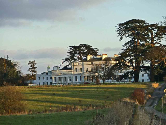
Bayfordbury
Bayfordbury, Hertfordshire, is a large Grade II* listed country house with surrounding parkland, and the location of a University of Hertfordshire campus...
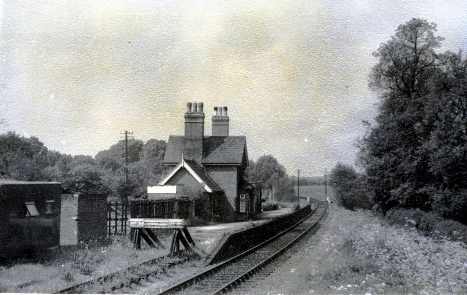
Hertingfordbury railway station
Hertingfordbury railway station was a station at Hertingfordbury, Hertfordshire, England, on the Hertford and Welwyn Junction Railway. It was a passenger...

Bayfordbury Observatory
Bayfordbury Observatory is the University of Hertfordshire's astronomical and atmospheric physics remote sensing observatory, and one of the largest teaching...

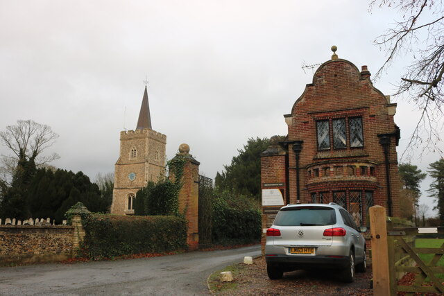
Hertingfordbury
Hertingfordbury is a small village in Hertfordshire, England, close to the county town of Hertford. It was mentioned in the Domesday Book of 1086. Hertingfordbury...

Bayford Brook
Bayford Brook is a minor tributary of the River Lea. It forms in the hills near Bayford, Hertfordshire and joins the River Lea at Horns Mill Weir. The...

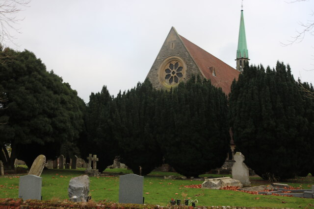
St John's Church, Letty Green
St John's Church, Letty Green, is a deconsecrated Gothic Revival church in Letty Green, Hertfordshire, England. The building was designed by George Fowler...
Willowmead
Willowmead is a 1.5-hectare (3.7-acre) nature reserve in north Hertford. It is managed by the Herts and Middlesex Wildlife Trust.The site is on the bank...

Letty Green
Letty Green is a village in the parish of Hertingfordbury, Hertfordshire, England. St John’s Church, Letty Green, the deconsecrated former parish church...
Nearby Amenities
Located within 500m of 51.779522,-0.11071094Have you been to Chalk Dell?
Leave your review of Chalk Dell below (or comments, questions and feedback).