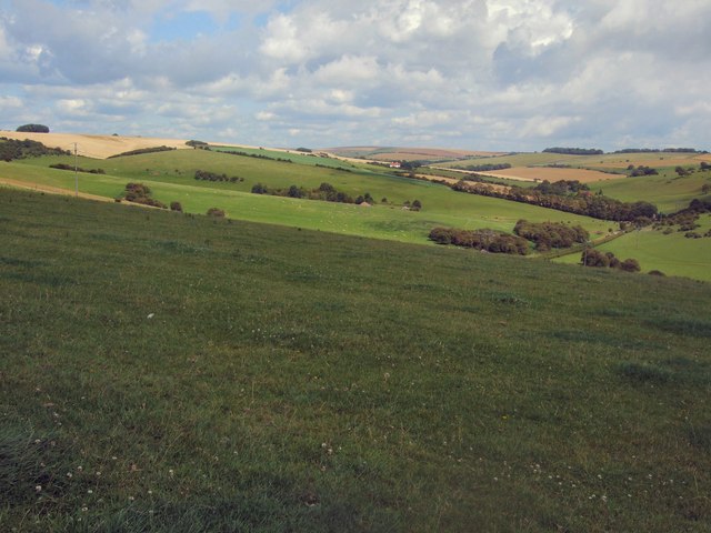
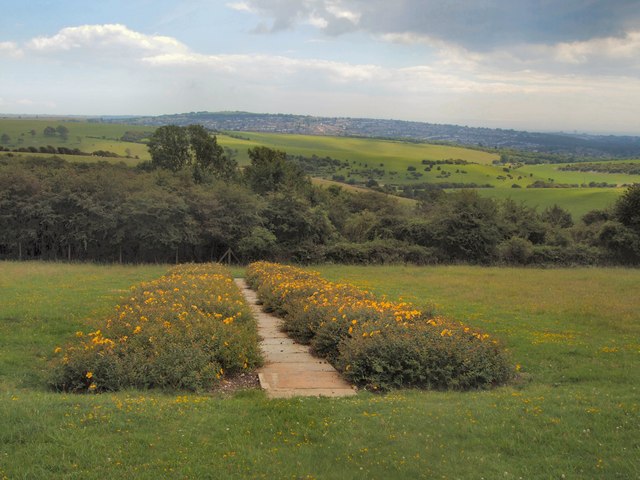
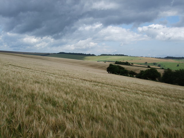
Ewe Bottom

Valley in Sussex

England

Ewe Bottom

View from a Brighton train in 1988 This photo is looking in the direction of the Green Ridge Windmill. The road on the left was called the A 2038, it is now part of the A27.
View from a Brighton train in 1988 Credit: Peter Shimmon

The requested URL returned error: 429 Too Many Requests

If you have any feedback on the listing, please let us know in the comments section below.
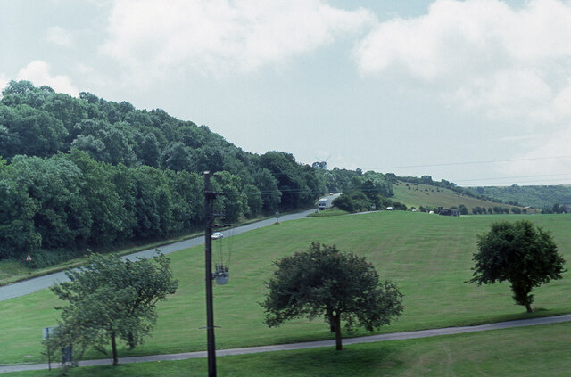
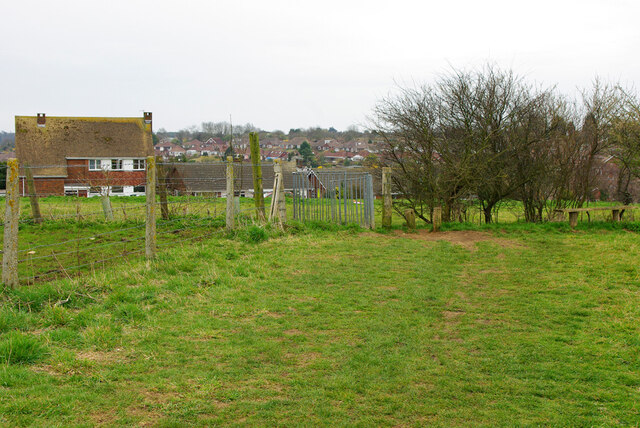
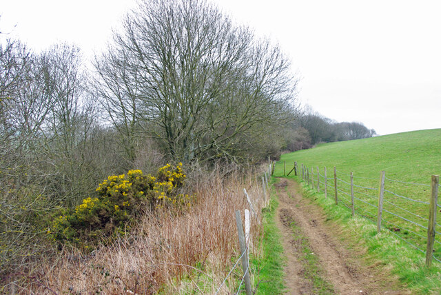
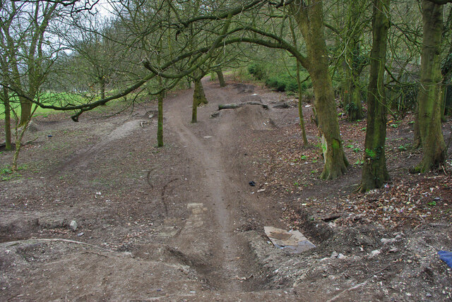
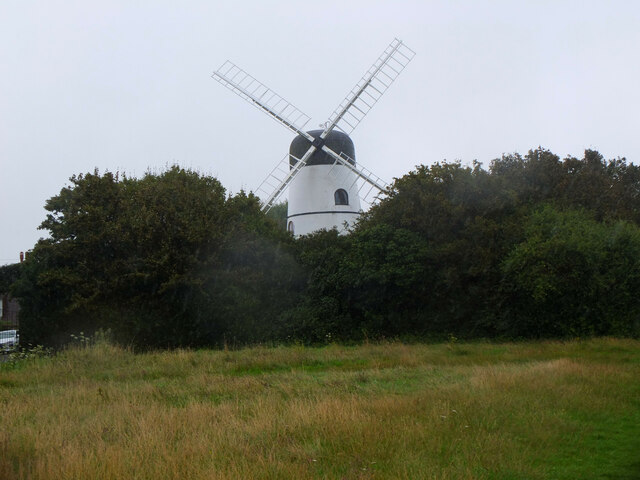
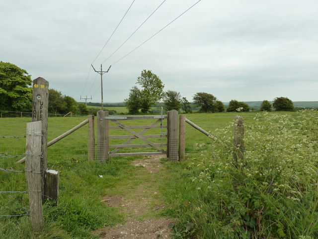
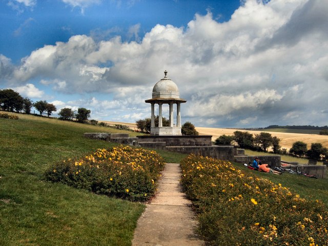
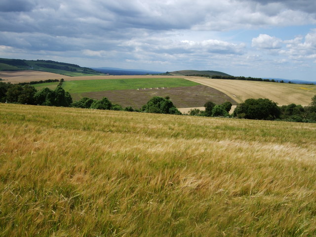
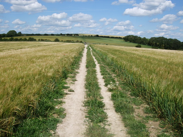
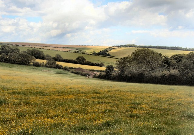
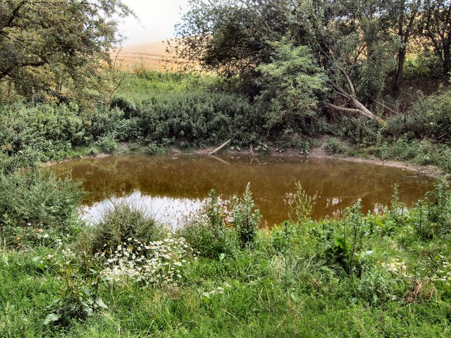
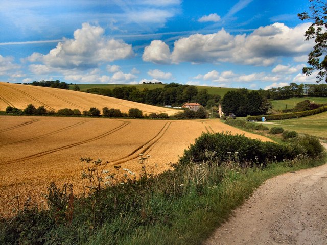
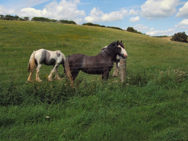
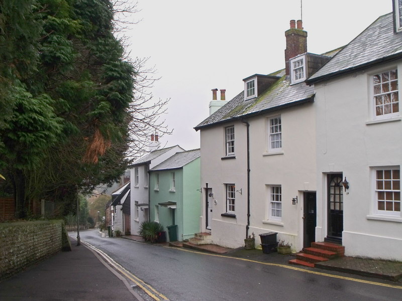
Ewe Bottom Images

Images are sourced within 2km of 50.875154/-0.14729111 or Grid Reference TQ3010. Thanks to Geograph Open Source API. All images are credited.

View from a Brighton train in 1988 This photo is looking in the direction of the Green Ridge Windmill. The road on the left was called the A 2038, it is now part of the A27.
View from a Brighton train in 1988
This photo is looking in the direction of the Green Ridge Windmill. The road on the left was called the A 2038, it is now part of the A27.
Gate on Brighton footpath 33 Houses on Windmill Drive are beyond.
Gate on Brighton footpath 33
Houses on Windmill Drive are beyond.
Brighton footpath 33 on Coney Hill Heading east towards Patcham.
Brighton footpath 33 on Coney Hill
Heading east towards Patcham.
Bike jumps, Patcham recreation ground A reverse view to <a href="https://www.geograph.org.uk/photo/1792967">TQ2909 : Shallow Grave</a>.
Bike jumps, Patcham recreation ground
A reverse view to TQ2909 : Shallow Grave.
Patcham Windmill Also known as Waterhall Mill, it was built in 1885 and worked until 1924. It is now a dwelling house - see <span class="nowrap"><a title="https://en.wikipedia.org/wiki/Waterhall_Mill,_Patcham" rel="nofollow ugc noopener" href="https://en.wikipedia.org/wiki/Waterhall_Mill,_Patcham">Link</a><img style="margin-left:2px;" alt="External link" title="External link - shift click to open in new window" src="https://s1.geograph.org.uk/img/external.png" width="10" height="10"/></span> .
Patcham Windmill
Also known as Waterhall Mill, it was built in 1885 and worked until 1924. It is now a dwelling house - see LinkExternal link .
Footpath gate near Piddingworth Plantation The path left leads to Highpark, and to the right leads to the car park at Upper Lodges.
Footpath gate near Piddingworth Plantation
The path left leads to Highpark, and to the right leads to the car park at Upper Lodges.
South Downs view from Ewebottom hill
Chattri War Memorial Viewed from the west
Chattri War Memorial
Viewed from the west
Chattri War Memorial Viewed from the south
Chattri War Memorial
Viewed from the south
South Downs view from the Chattri looking SW towards Poor Brow
South Downs view from the Chattri
looking SW towards Poor Brow
Memorial Stones - The Chattri
Barley Fields north of the Chattri Looking over the South Downs towards Lower Standean from the Sussex Border Path
Barley Fields north of the Chattri
Looking over the South Downs towards Lower Standean from the Sussex Border Path
View towards Lower Standean Looking towards the South Downs from the Sussex Border Path north of the Chattri
View towards Lower Standean
Looking towards the South Downs from the Sussex Border Path north of the Chattri
Sussex Border Path north of the Chattri
South Downs Landscape View taken East of the Sussex Border Path north of the Chattri
South Downs Landscape
View taken East of the Sussex Border Path north of the Chattri
Pond - Lower Standean
Farmland south of Lower Standean
Horses in field near Donkey Bottom
Show me another place!

Ewe Bottom is located at Grid Ref: TQ3010 (Lat: 50.875154, Lng: -0.14729111)

Unitary Authority: Brighton and Hove

Police Authority: Sussex

What 3 Words

///stealthier.stale.dolly. Near Brighton, East Sussex

Related Wikis

All Saints Church, Patcham

All Saints Church is the Anglican parish church of Patcham, an ancient Sussex village which is now part of the English city of Brighton and Hove. A place...
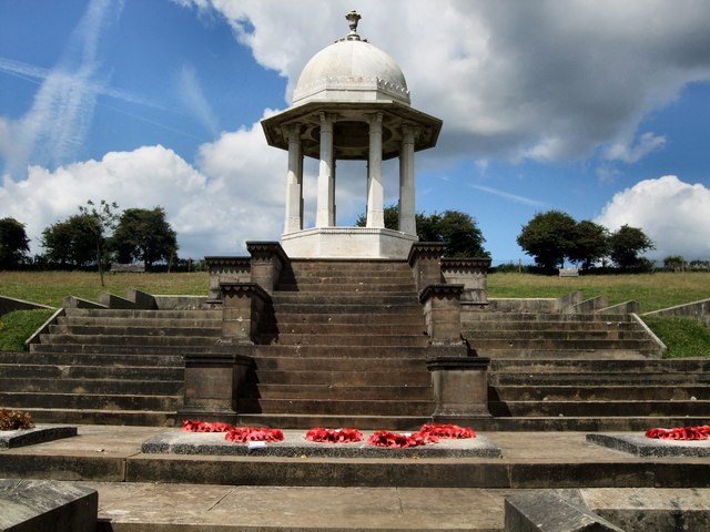
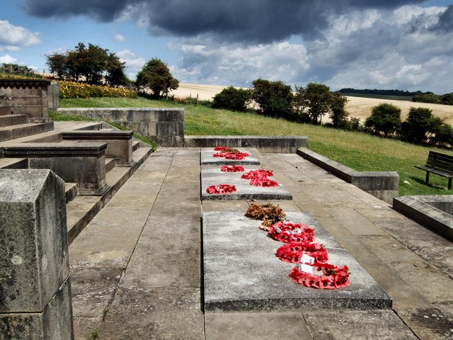
Chattri, Brighton

The Chattri is a war memorial in the English city of Brighton and Hove. It is sited 500 feet (150 m) above the city on the South Downs above the suburb...

Patcham Place

Patcham Place is a mansion in the ancient village of Patcham, now part of the English city of Brighton and Hove. Built in 1558 as part of the Patcham...

Patcham

Patcham () is a suburb in the city of Brighton and Hove, in the ceremonial county of East Sussex, England. It is about 3 miles (5 km) north of the city...

Nearby Amenities

Located within 500m of 50.875154,-0.14729111
Power: pole
Lat/Long: 50.8758775/-0.1491273
Power: pole
Lat/Long: 50.8762989/-0.1504558
Power: pole
Lat/Long: 50.8767294/-0.1517765
Power: pole
Lat/Long: 50.8772772/-0.15349
Power: pole
Lat/Long: 50.8765735/-0.1452328
Power: pole
Lat/Long: 50.8771317/-0.1420944
Power: pole
Lat/Long: 50.8761978/-0.1473112
Power: pole
Lat/Long: 50.8768425/-0.1436999
Watering Place
Lat/Long: 50.8768619/-0.1471835
Watering Place
Lat/Long: 50.8767392/-0.1489136
Watering Place
Lat/Long: 50.8778777/-0.1462468
Watering Place
Lat/Long: 50.87797/-0.1458666
Watering Place
Lat/Long: 50.8721748/-0.1497719
Watering Place
Lat/Long: 50.8754489/-0.1469026
Watering Place
Lat/Long: 50.8754432/-0.146862
Watering Place
Lat/Long: 50.8772761/-0.1418218
The data included in this document is from www.openstreetmap.org. The data is made available under ODbL.

Have you been to Ewe Bottom?

Leave your review of Ewe Bottom below (or comments, questions and feedback).