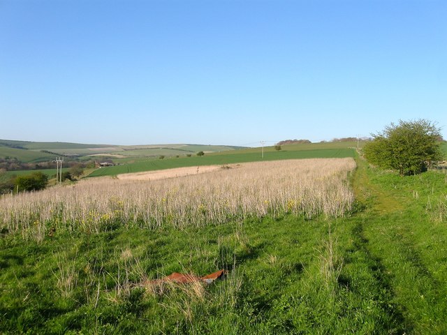
Scare Hill

Hill, Mountain in Sussex

England

Scare Hill
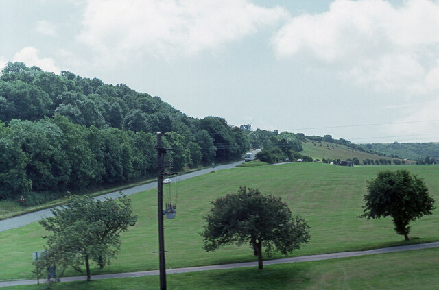
View from a Brighton train in 1988 This photo is looking in the direction of the Green Ridge Windmill. The road on the left was called the A 2038, it is now part of the A27.
View from a Brighton train in 1988 Credit: Peter Shimmon

The requested URL returned error: 429 Too Many Requests

If you have any feedback on the listing, please let us know in the comments section below.

Scare Hill Images

Images are sourced within 2km of 50.879894/-0.15297418 or Grid Reference TQ3010. Thanks to Geograph Open Source API. All images are credited.

View from a Brighton train in 1988 This photo is looking in the direction of the Green Ridge Windmill. The road on the left was called the A 2038, it is now part of the A27.
View from a Brighton train in 1988
This photo is looking in the direction of the Green Ridge Windmill. The road on the left was called the A 2038, it is now part of the A27.
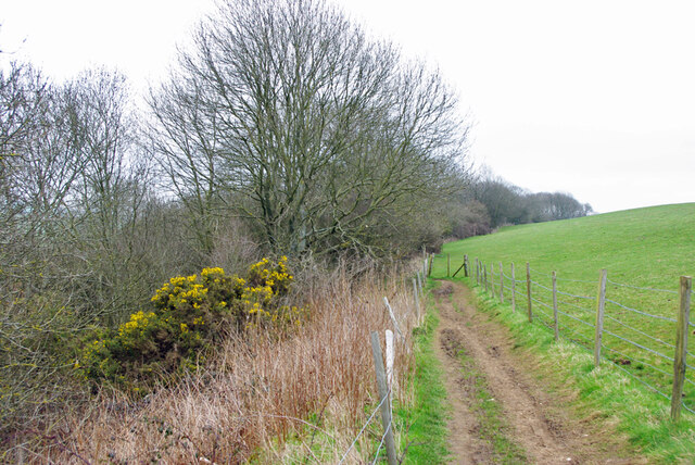
Brighton footpath 33 on Coney Hill Heading east towards Patcham.
Brighton footpath 33 on Coney Hill
Heading east towards Patcham.
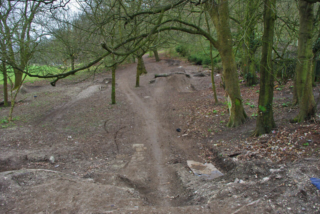
Bike jumps, Patcham recreation ground A reverse view to <a href="https://www.geograph.org.uk/photo/1792967">TQ2909 : Shallow Grave</a>.
Bike jumps, Patcham recreation ground
A reverse view to TQ2909 : Shallow Grave.
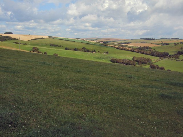
South Downs view from Ewebottom hill
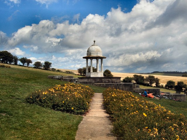
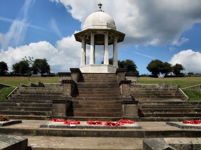
Chattri War Memorial Viewed from the west
Chattri War Memorial
Viewed from the west
Chattri War Memorial Viewed from the south
Chattri War Memorial
Viewed from the south
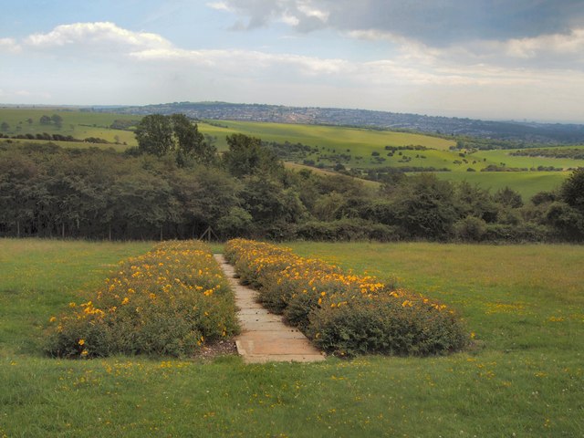
South Downs view from the Chattri looking SW towards Poor Brow
South Downs view from the Chattri
looking SW towards Poor Brow
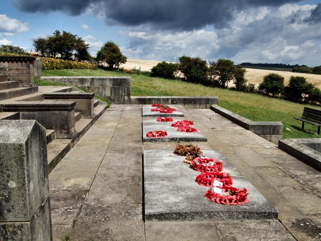
Memorial Stones - The Chattri
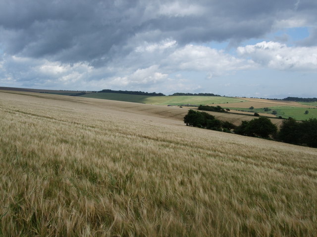
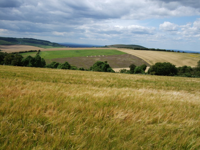
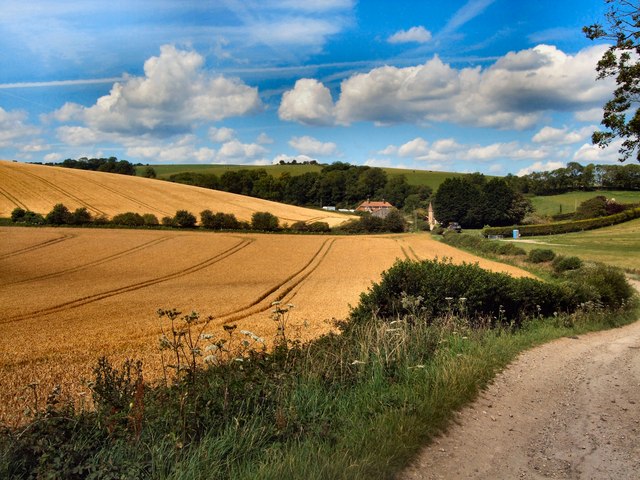
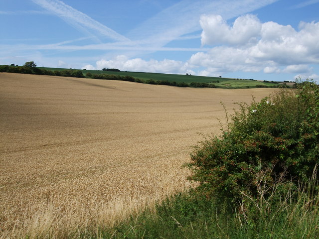
Barley Fields north of the Chattri Looking over the South Downs towards Lower Standean from the Sussex Border Path
Barley Fields north of the Chattri
Looking over the South Downs towards Lower Standean from the Sussex Border Path
View towards Lower Standean Looking towards the South Downs from the Sussex Border Path north of the Chattri
View towards Lower Standean
Looking towards the South Downs from the Sussex Border Path north of the Chattri
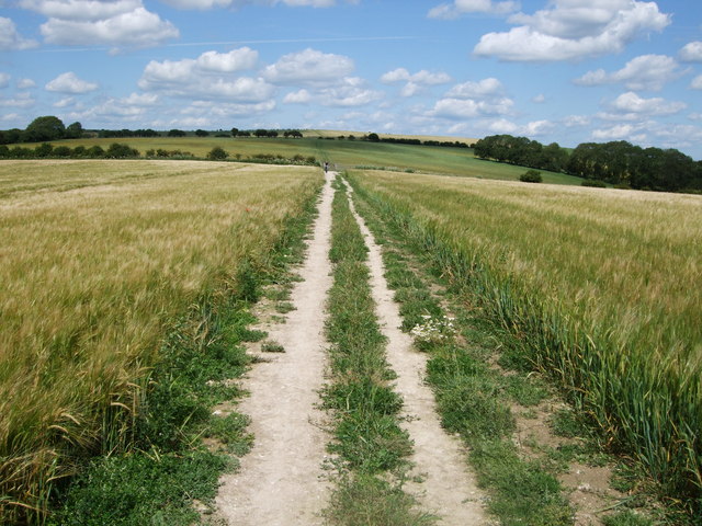
Sussex Border Path north of the Chattri
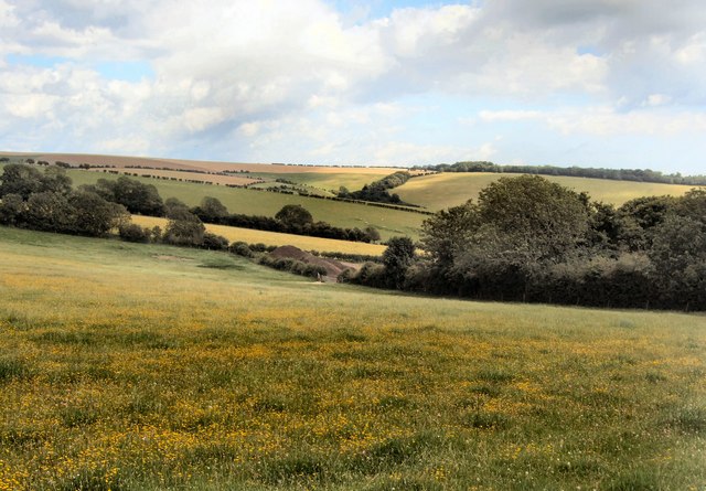
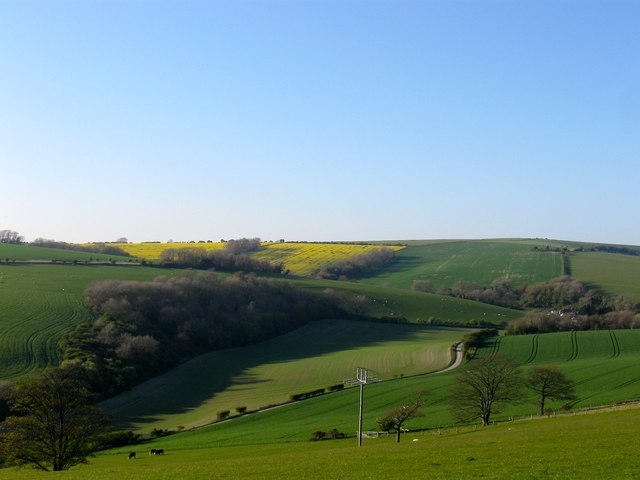
South Downs Landscape View taken East of the Sussex Border Path north of the Chattri
South Downs Landscape
View taken East of the Sussex Border Path north of the Chattri
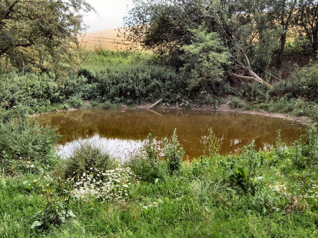
Pond - Lower Standean
Farmland south of Lower Standean
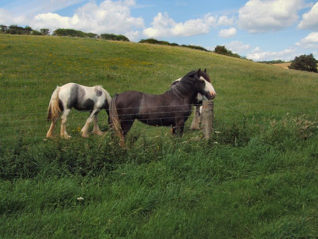
Horses in field near Donkey Bottom
Farmland near Standean Cottage
Eight Acres/New Barn Field The name of the field according to Ditchling's 1839 tithe map viewed from Tegdown Hill. New Barn Field is on the right of the lane leading to Standean whilst Eight Acres is to the left overlooked by Wonderhill Plantation
Eight Acres/New Barn Field
The name of the field according to Ditchling's 1839 tithe map viewed from Tegdown Hill. New Barn Field is on the right of the lane leading to Standean whilst Eight Acres is to the left overlooked by Wonderhill Plantation
Footpath, Tegdown Hill Heading north eastwards towards Ditchling Road. New Barn can be seen in the distance to the left.
Footpath, Tegdown Hill
Heading north eastwards towards Ditchling Road. New Barn can be seen in the distance to the left.
Show me another place!

Scare Hill is located at Grid Ref: TQ3010 (Lat: 50.879894, Lng: -0.15297418)

Unitary Authority: Brighton and Hove

Police Authority: Sussex

What 3 Words

///haunt.decorator.amused. Near Ditchling, East Sussex

Related Wikis

Chattri, Brighton

The Chattri is a war memorial in the English city of Brighton and Hove. It is sited 500 feet (150 m) above the city on the South Downs above the suburb...

Patcham Pylon

The Patcham Pylon is a monumental gateway erected in 1928 near Patcham in East Sussex, England. Designed by local architect John Leopold Denman and paid...

All Saints Church, Patcham

All Saints Church is the Anglican parish church of Patcham, an ancient Sussex village which is now part of the English city of Brighton and Hove. A place...

Patcham Place

Patcham Place is a mansion in the ancient village of Patcham, now part of the English city of Brighton and Hove. Built in 1558 as part of the Patcham...

Nearby Amenities

Located within 500m of 50.879894,-0.15297418
Power: pole
Lat/Long: 50.8762989/-0.1504558
Power: pole
Lat/Long: 50.8767294/-0.1517765
Power: pole
Lat/Long: 50.8772772/-0.15349
Power: pole
Lat/Long: 50.8777644/-0.1549943
Power: pole
Lat/Long: 50.8783649/-0.1568547
Power: pole
Lat/Long: 50.8788308/-0.1583053
Power: pole
Lat/Long: 50.8793389/-0.159875
Watering Place
Lat/Long: 50.8767392/-0.1489136
The data included in this document is from www.openstreetmap.org. The data is made available under ODbL.

Have you been to Scare Hill?

Leave your review of Scare Hill below (or comments, questions and feedback).