Holt Bottom
Valley in Sussex Mid Sussex
England
Holt Bottom
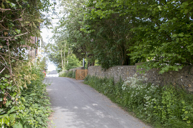
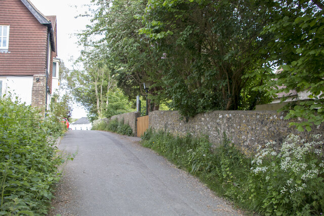
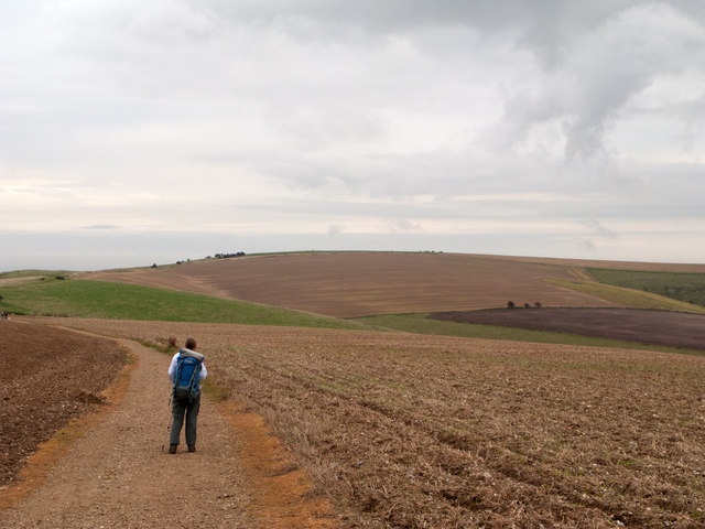
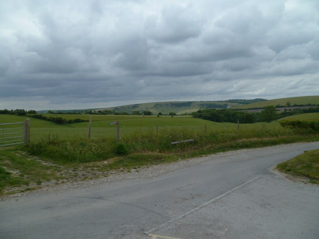
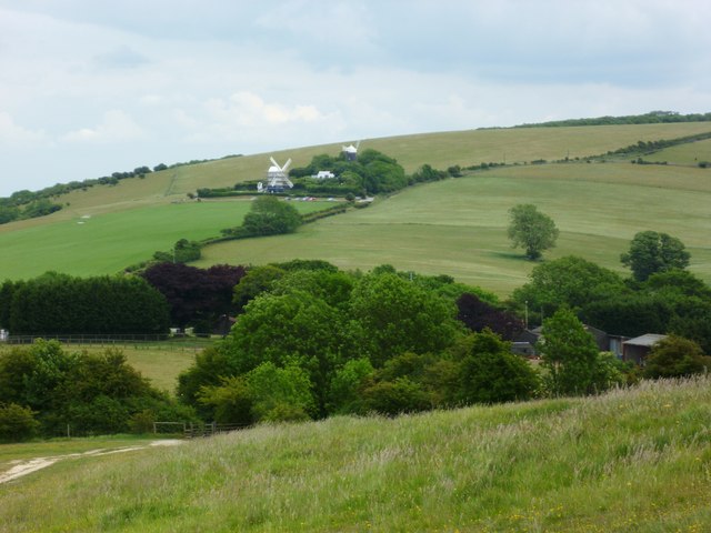
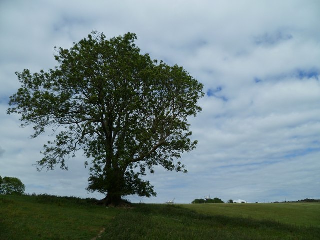
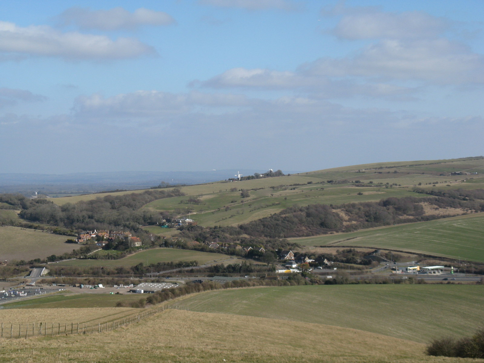
Holt Bottom is a picturesque valley located in Sussex, England. It is situated in the South Downs National Park, renowned for its stunning natural beauty and diverse wildlife. The valley is nestled between rolling hills, offering breathtaking views of the surrounding countryside.
The area is known for its rich agricultural heritage, with fertile soil and a mild climate that supports a variety of crops and farming activities. The valley is dotted with traditional farms and rural villages, adding to its idyllic charm.
Holt Bottom is home to a thriving ecosystem, with a diverse range of plant and animal species. The valley's lush meadows and woodlands provide habitats for numerous birds, mammals, and insects, making it a haven for nature enthusiasts and wildlife photographers. Visitors can often spot deer, foxes, badgers, and a myriad of bird species while exploring the area.
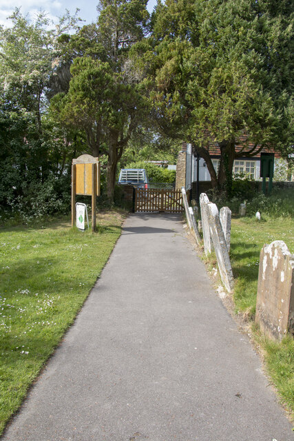
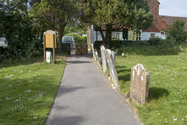
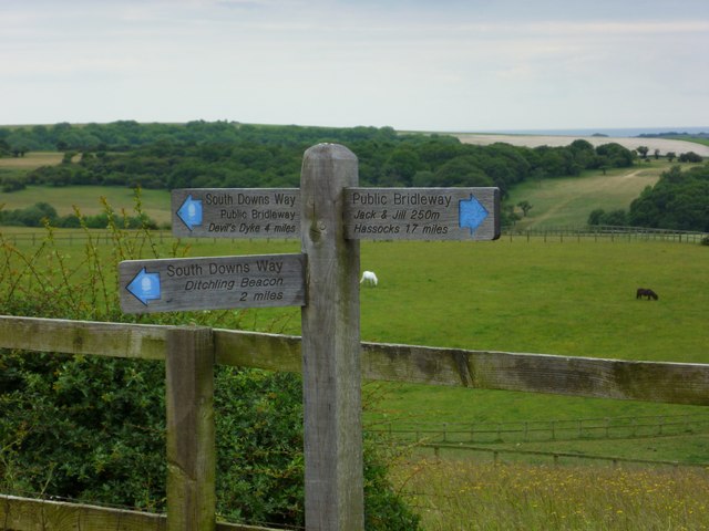
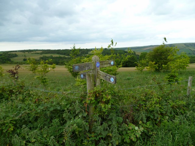
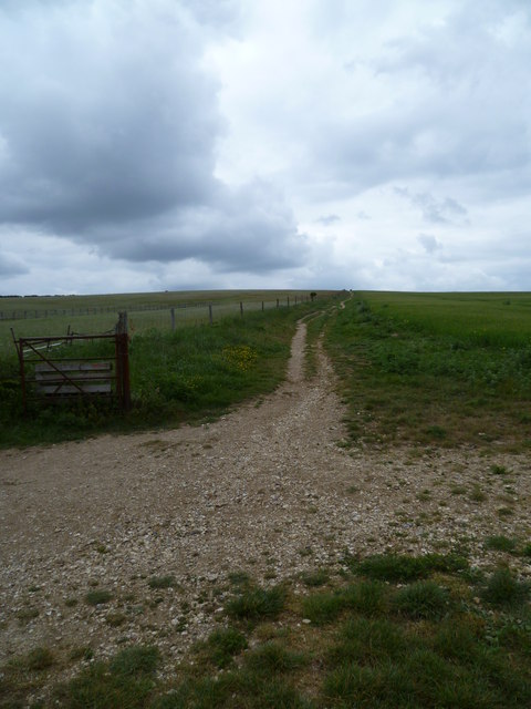
The valley also boasts several walking trails and footpaths, allowing visitors to explore the stunning natural surroundings at their own pace. The South Downs Way, a long-distance footpath, passes through Holt Bottom, providing an opportunity for hikers to experience the beauty of the valley and its panoramic vistas.
In addition to its natural beauty, Holt Bottom offers a peaceful retreat for those seeking a tranquil escape from the hustle and bustle of everyday life. The valley's serene atmosphere and unspoiled landscapes make it an ideal destination for relaxation and rejuvenation.
Overall, Holt Bottom is a hidden gem in Sussex, inviting visitors to immerse themselves in the beauty of nature and experience the tranquility of rural life.
If you have any feedback on the listing, please let us know in the comments section below.
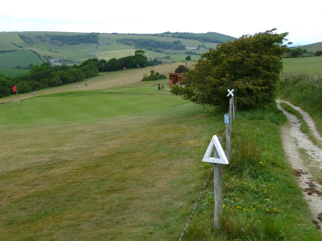
Holt Bottom Images
Images are sourced within 2km of 50.889213/-0.14799882 or Grid Reference TQ3011. Thanks to Geograph Open Source API. All images are credited.
Holt Bottom is located at Grid Ref: TQ3011 (Lat: 50.889213, Lng: -0.14799882)
Administrative County: West Sussex
District: Mid Sussex
Police Authority: Sussex
What 3 Words
///asleep.clipped.startles. Near Ditchling, East Sussex
Nearby Locations
Related Wikis

Chattri, Brighton
The Chattri is a war memorial in the English city of Brighton and Hove. It is sited 500 feet (150 m) above the city on the South Downs above the suburb...

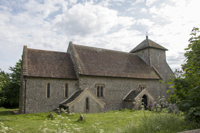
Church of the Transfiguration, Pyecombe
The Church of the Transfiguration is the Church of England parish church of the village of Pyecombe, in the Mid Sussex District of West Sussex, England...

Patcham Pylon
The Patcham Pylon is a monumental gateway erected in 1928 near Patcham in East Sussex, England. Designed by local architect John Leopold Denman and paid...
Pyecombe
Pyecombe is a village and civil parish in the Mid Sussex District of West Sussex, England. Pyecombe is located 7 miles (11 km) to the north of Brighton...

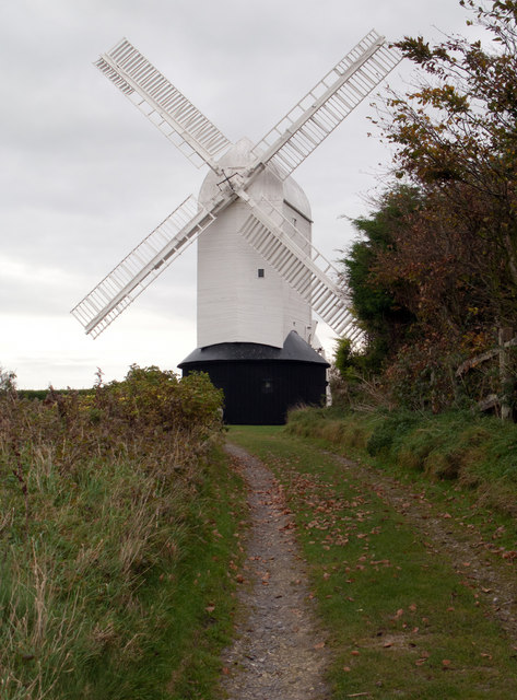
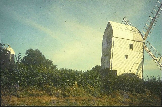
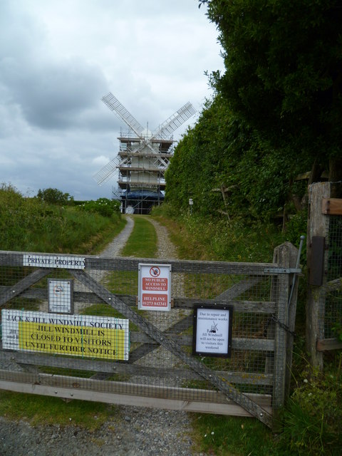
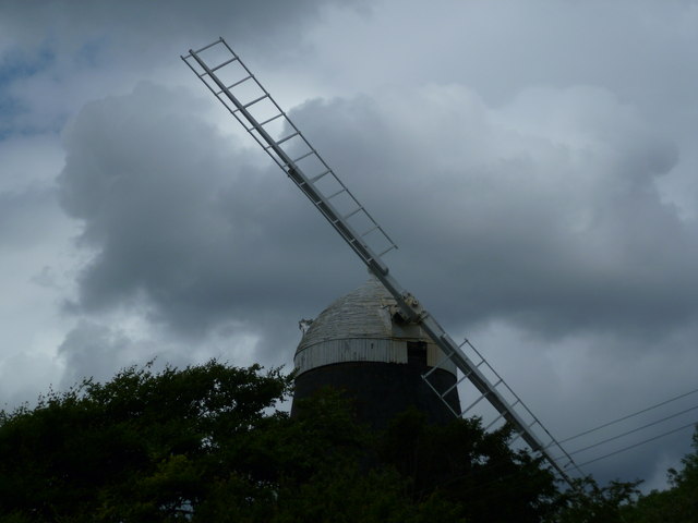
Clayton Windmills
The Clayton Windmills, known locally as Jack and Jill, stand on the South Downs above the village of Clayton, West Sussex, England. They comprise a post...

Clayton, West Sussex
Clayton is a small village and former civil parish, now in the parish of Hassocks, in the Mid Sussex district, in the county of West Sussex, England. It...

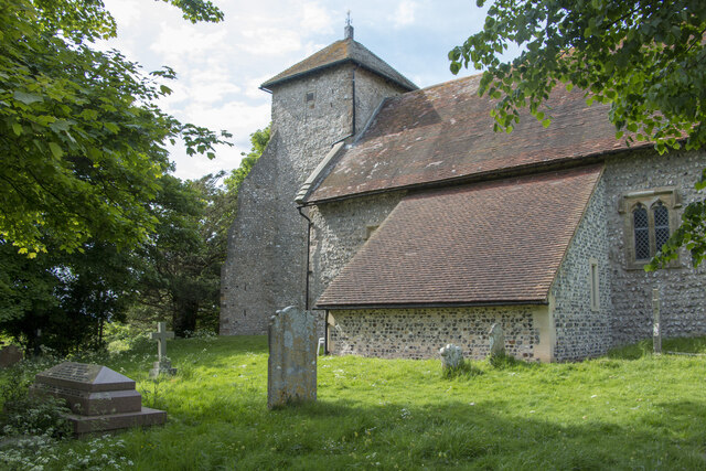
St John the Baptist's Church, Clayton
St John the Baptist's Church is the Church of England parish church of the village of Clayton in Mid Sussex District, one of seven local government districts...

All Saints Church, Patcham
All Saints Church is the Anglican parish church of Patcham, an ancient Sussex village which is now part of the English city of Brighton and Hove. A place...
Nearby Amenities
Located within 500m of 50.889213,-0.14799882Have you been to Holt Bottom?
Leave your review of Holt Bottom below (or comments, questions and feedback).