Larch Plantation
Wood, Forest in Hertfordshire East Hertfordshire
England
Larch Plantation
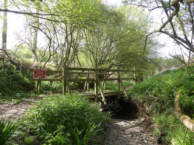
Larch Plantation in Hertfordshire is a stunning wood and forest area, located in the southeastern region of England. The plantation is well-known for its abundant growth of larch trees, which dominate the landscape and create a picturesque scenery throughout the year.
Covering an extensive area, Larch Plantation is a haven for nature enthusiasts and outdoor lovers. The tall and slender larch trees, with their distinctive green needles, provide a unique and enchanting atmosphere. The plantation boasts a diverse range of flora and fauna, with various species of birds, small mammals, and insects inhabiting the area.
Visitors to Larch Plantation can enjoy a range of activities, such as hiking, walking, and birdwatching. There are well-maintained pathways and trails that meander through the woods, allowing visitors to explore the plantation at their own pace. The tranquil ambiance and peaceful surroundings make it an ideal destination for those seeking solace in nature.
During the autumn season, Larch Plantation becomes a spectacle of vibrant colors as the larch trees transform into a stunning display of gold and orange hues. This makes it a popular spot for photographers and nature enthusiasts who flock to capture the beauty of the changing seasons.
Larch Plantation is easily accessible, with ample parking facilities and well-marked entrances. It is a cherished natural treasure in Hertfordshire, offering a serene and captivating experience for all who visit.
If you have any feedback on the listing, please let us know in the comments section below.
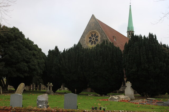
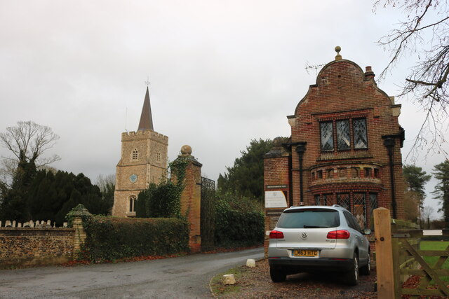
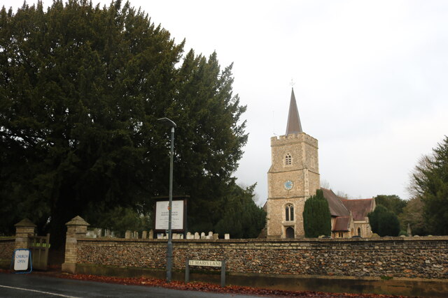
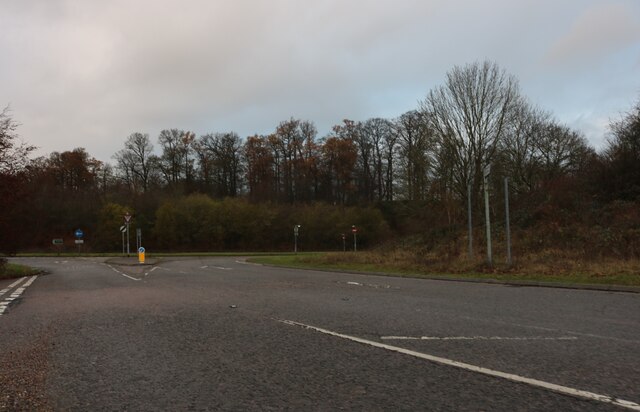
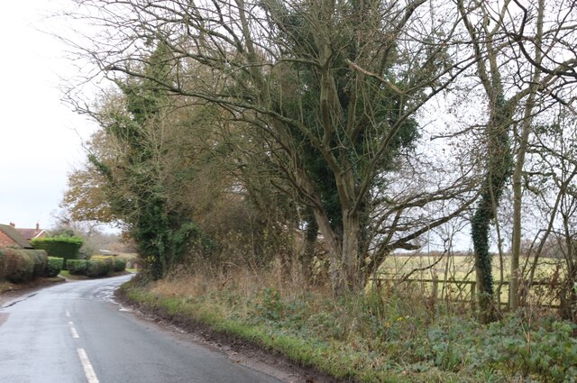
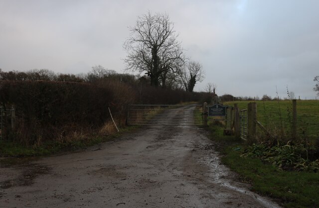
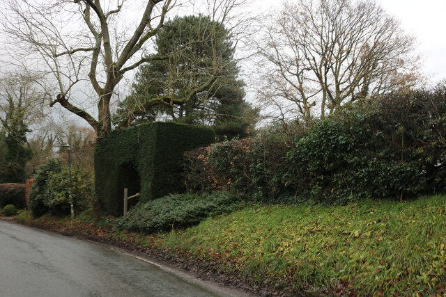
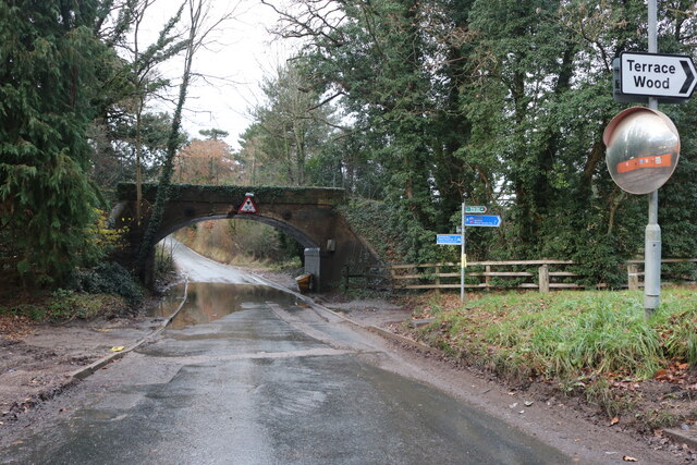
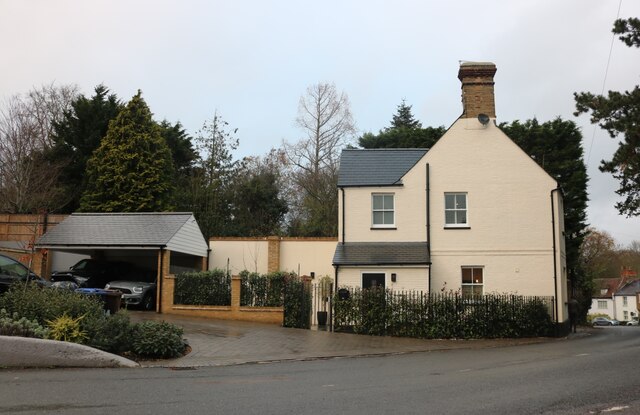
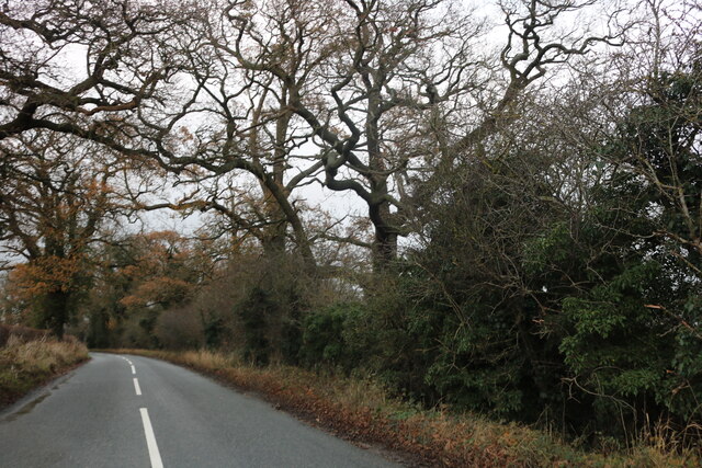
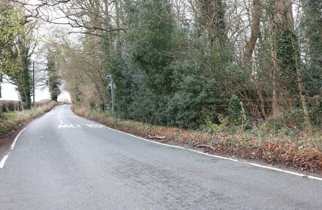
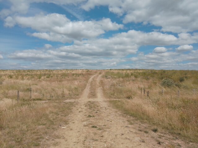
Larch Plantation Images
Images are sourced within 2km of 51.7735/-0.11031019 or Grid Reference TL3010. Thanks to Geograph Open Source API. All images are credited.


Larch Plantation is located at Grid Ref: TL3010 (Lat: 51.7735, Lng: -0.11031019)
Administrative County: Hertfordshire
District: East Hertfordshire
Police Authority: Hertfordshire
What 3 Words
///kicked.thigh.error. Near Hertford, Hertfordshire
Nearby Locations
Related Wikis
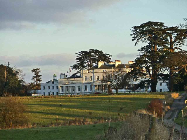
Bayfordbury
Bayfordbury, Hertfordshire, is a large Grade II* listed country house with surrounding parkland, and the location of a University of Hertfordshire campus...

Bayfordbury Observatory
Bayfordbury Observatory is the University of Hertfordshire's astronomical and atmospheric physics remote sensing observatory, and one of the largest teaching...

Bayford Brook
Bayford Brook is a minor tributary of the River Lea. It forms in the hills near Bayford, Hertfordshire and joins the River Lea at Horns Mill Weir. The...

Bayford, Hertfordshire
Bayford is a village and civil parish in the East Hertfordshire district of Hertfordshire, England. According to the 2001 census it had a population of...
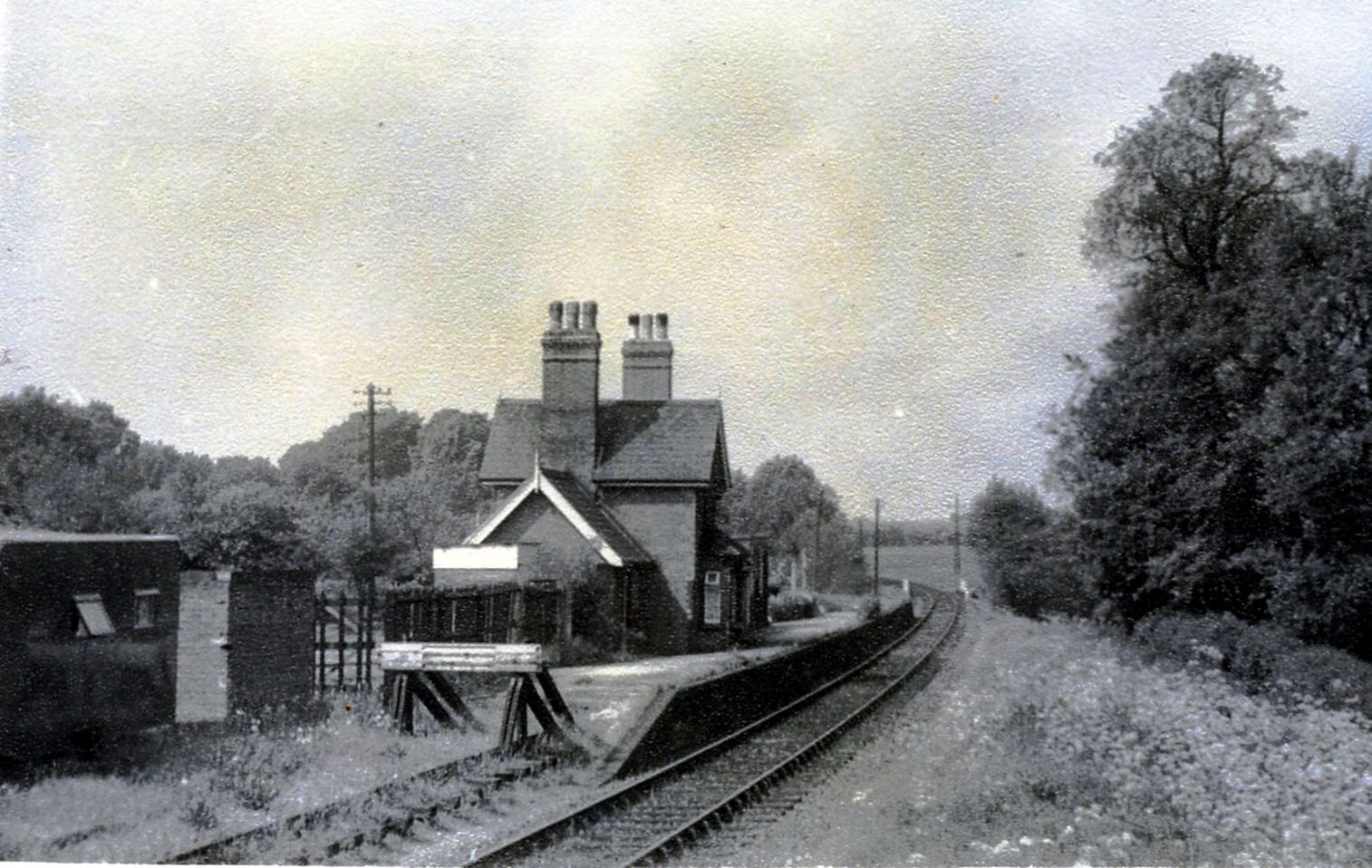
Hertingfordbury railway station
Hertingfordbury railway station was a station at Hertingfordbury, Hertfordshire, England, on the Hertford and Welwyn Junction Railway. It was a passenger...

Woolmers Park
Woolmers Park is a Grade II* listed building in Hertfordshire, England. It was the residence of Claude Bowes-Lyon, 14th Earl of Strathmore and Kinghorne...

Hertingfordbury
Hertingfordbury is a small village in Hertfordshire, England, close to the county town of Hertford. It was mentioned in the Domesday Book of 1086. Hertingfordbury...
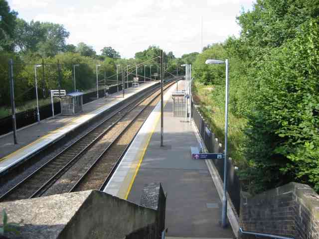
Bayford railway station
Bayford railway station serves the villages of Bayford and Brickendon in Hertfordshire, England. The station is on the Hertford Loop Line, 16 miles 56...
Nearby Amenities
Located within 500m of 51.7735,-0.11031019Have you been to Larch Plantation?
Leave your review of Larch Plantation below (or comments, questions and feedback).