Abinger
Civil Parish in Surrey Mole Valley
England
Abinger
Abinger is a civil parish located in the county of Surrey, England. It is situated in the southeastern part of the county, approximately 22 miles southwest of London. The parish covers an area of about 7 square miles and is part of the larger district of Mole Valley.
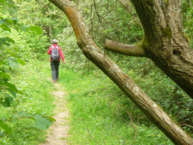
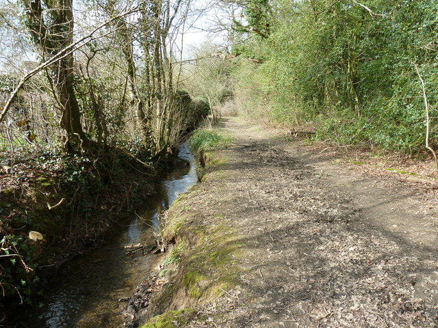
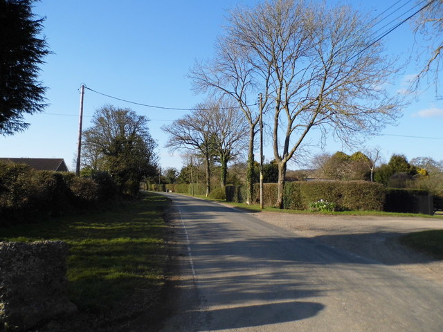
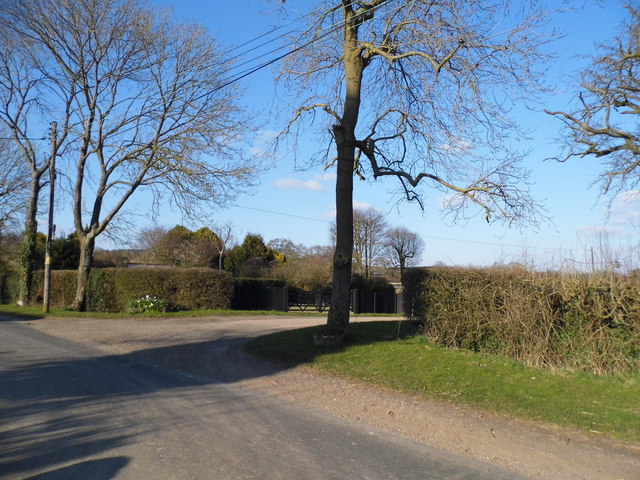
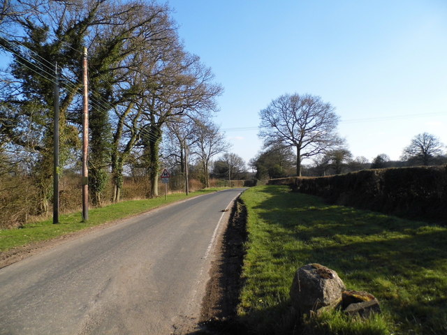
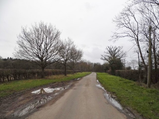
Abinger is a rural area characterized by its picturesque countryside, rolling hills, and charming villages. The parish is surrounded by beautiful natural landscapes, including the Surrey Hills Area of Outstanding Natural Beauty, which attracts visitors and outdoor enthusiasts.
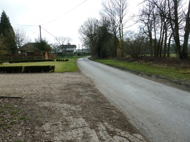
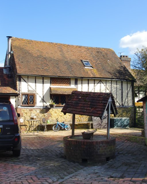
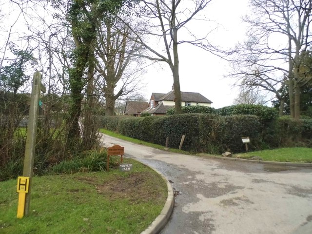
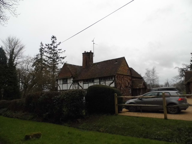
The main village in Abinger is simply known as Abinger, and it is home to a small population. The village features a mixture of traditional and modern houses, as well as a few amenities such as a village hall, a church, and a primary school. The village is known for its quaint and peaceful atmosphere, making it an ideal place for those seeking a quiet and idyllic lifestyle.
In addition to Abinger village, the civil parish also includes the smaller settlements of Abinger Hammer, Gomshall, and Sutton Abinger. These villages offer a range of amenities, including shops, pubs, and local businesses.
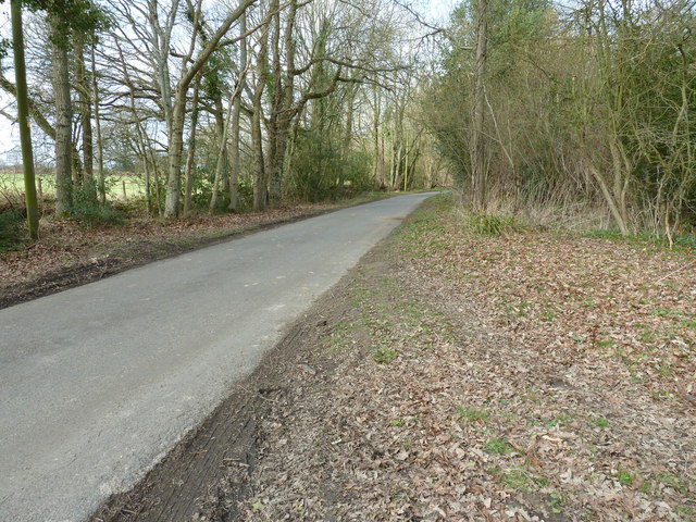
Abinger is well-connected to neighboring towns and cities via road and rail links. The A25 road runs through the parish, providing easy access to nearby Guildford and Dorking. The closest railway station is located in Gomshall, offering regular train services to London and other destinations.
Overall, Abinger, Surrey, offers a charming countryside setting, a close-knit community, and easy access to both natural beauty and urban amenities.
If you have any feedback on the listing, please let us know in the comments section below.
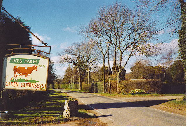
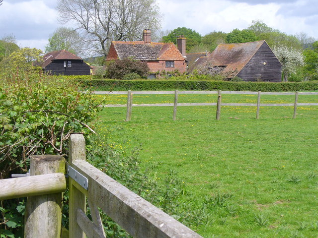
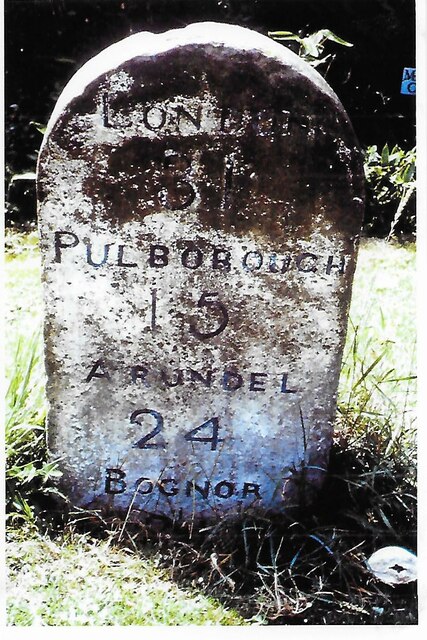
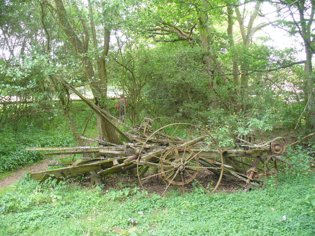
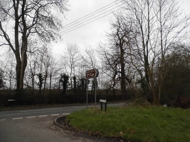
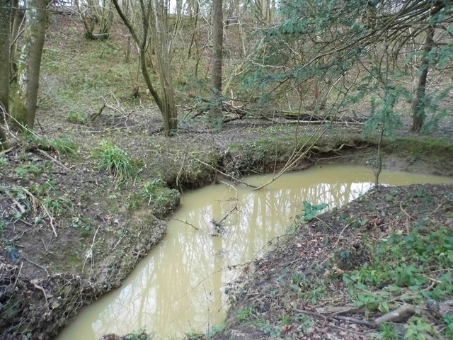
Abinger Images
Images are sourced within 2km of 51.135994/-0.384956 or Grid Reference TQ1338. Thanks to Geograph Open Source API. All images are credited.
Abinger is located at Grid Ref: TQ1338 (Lat: 51.135994, Lng: -0.384956)
Administrative County: Surrey
District: Mole Valley
Police Authority: Surrey
What 3 Words
///longingly.president.burst. Near Ewhurst, Surrey
Nearby Locations
Related Wikis

Wallis Wood
Wallis Wood is a 14-hectare (35-acre) nature reserve south-east of Ewhurst in Surrey. It is managed by the Surrey Wildlife Trust.A stream runs through...

Ockley
Ockley is a rural village in Surrey. It lies astride the A29, the modern road using the alignment of Stane Street (Chichester). The A29 diverges from the...

Vann Lake and Ockley Woods
Vann Lake and Ockley Woods is a 57.8-hectare (143-acre) biological Site of Special Scientific Interest south of Ockley in Surrey. Vann Lake is part of...

Smokejack Clay Pit
Smokejack Clay Pit is a 56-hectare (140-acre) geological Site of Special Scientific Interest east of Cranleigh in Surrey. It is a Geological Conservation...

Stane Street (Chichester)
Stane Street is the modern name of the 91 km-long (57 mi) Roman road in southern England that linked Londinium (London) to Noviomagus Reginorum (Chichester...

High Weald AONB
The High Weald Area of Outstanding Natural Beauty is in south-east England. Covering an area of 1,450 square kilometres (560 sq mi), it takes up parts...

Greensand Ridge
The Greensand Ridge, also known as the Wealden Greensand, is an extensive, prominent, often wooded, mixed greensand/sandstone escarpment in south-east...

Auclaye
Auclaye is a 0.6-hectare (1.5-acre) geological Site of Special Scientific Interest south of Capel in Surrey. It is a Geological Conservation Review site...
Nearby Amenities
Located within 500m of 51.135994,-0.384956Have you been to Abinger?
Leave your review of Abinger below (or comments, questions and feedback).