Fir Copse

Wood, Forest in Surrey Mole Valley

England

Fir Copse

Ockley Village Hall On Stone Street (now the A29), the old Roman road, at Ockley. The village hall is just up the road from the cricket ground.
Ockley Village Hall Credit: Roger May

Fir Copse, located in Surrey, England, is a picturesque woodland area that offers visitors a serene and natural escape from the hustle and bustle of everyday life. Spanning approximately 50 acres, this scenic forest is comprised mainly of fir trees, hence its name.

The woodland is known for its dense, lush vegetation and vibrant wildlife. Within its boundaries, visitors can find a diverse range of flora and fauna, including various species of birds, small mammals, and insects. The forest floor is carpeted with a rich tapestry of wildflowers, providing a stunning display of colors during the spring and summer months.

Fir Copse is a popular destination for nature enthusiasts, hikers, and families seeking a peaceful retreat. The forest offers a network of well-maintained walking trails that wind through the trees, allowing visitors to explore its beauty at their own pace. The trails are suitable for all abilities, making it an ideal location for leisurely strolls or more challenging hikes.

In addition to its natural beauty, Fir Copse also boasts several amenities to enhance the visitor experience. There are picnic areas dotted throughout the woodland, providing a perfect spot to enjoy a packed lunch while surrounded by the sights and sounds of nature. Information boards can also be found at various points, offering educational insights into the local wildlife and history of the forest.

Overall, Fir Copse in Surrey provides a tranquil and enchanting setting for those looking to immerse themselves in the wonders of the natural world. Whether it be a leisurely walk, a family outing, or a wildlife-spotting adventure, this woodland sanctuary offers something for everyone to enjoy.

If you have any feedback on the listing, please let us know in the comments section below.
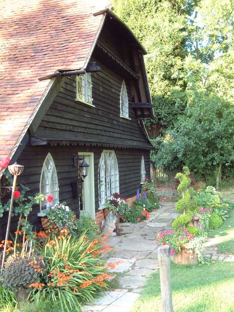
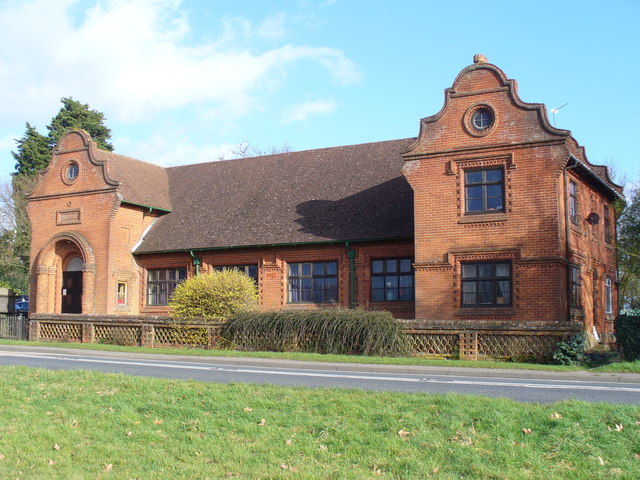
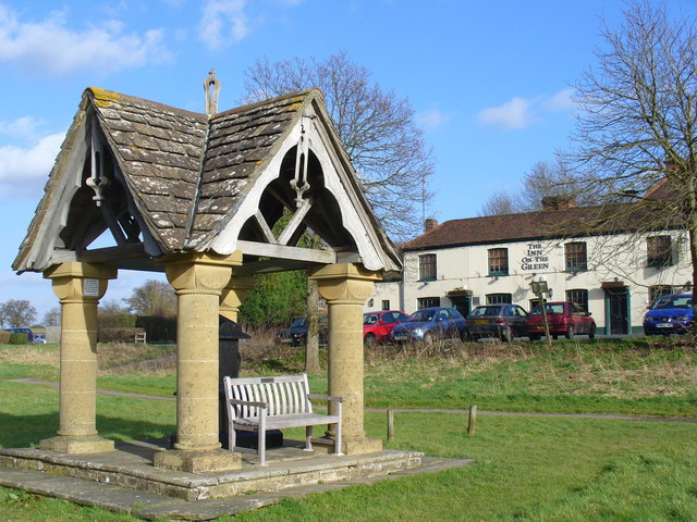
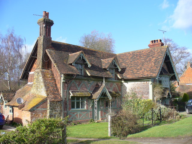
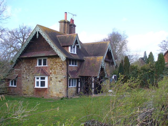
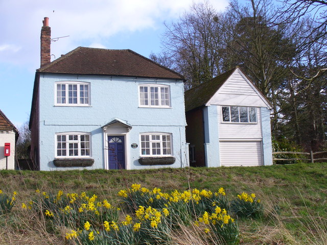
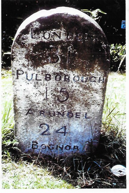
Fir Copse Images

Images are sourced within 2km of 51.135472/-0.37211009 or Grid Reference TQ1338. Thanks to Geograph Open Source API. All images are credited.

Ockley Village Hall On Stone Street (now the A29), the old Roman road, at Ockley. The village hall is just up the road from the cricket ground.
Ockley Village Hall
On Stone Street (now the A29), the old Roman road, at Ockley. The village hall is just up the road from the cricket ground.
The Well at Ockley. On the green beside the busy A29.
The Well at Ockley.
On the green beside the busy A29.
Ockley Village Pond View from the Village Green across the Pond to the 16th Century Barn.
Ockley Village Pond
View from the Village Green across the Pond to the 16th Century Barn.
Barn Cottage Barn behind the Ockley Village Pond.
Barn Cottage
Barn behind the Ockley Village Pond.
Barn Cottage Cottage behind the pond in Ockley
Barn Cottage
Cottage behind the pond in Ockley
Village Hall, Ockley Substantial brick building on the A29, the former Roman Stane Street from London to Chichester. The hall is also a memorial to soldiers in WW1.
<span class="nowrap"><a title="http://www.zednet.co.uk/ockley/listings/22.html" rel="nofollow ugc noopener" href="http://www.zednet.co.uk/ockley/listings/22.html">Link</a><img style="margin-left:2px;" alt="External link" title="External link - shift click to open in new window" src="https://s1.geograph.org.uk/img/external.png" width="10" height="10"/></span>
Village Hall, Ockley
Substantial brick building on the A29, the former Roman Stane Street from London to Chichester. The hall is also a memorial to soldiers in WW1. LinkExternal link
Ockley Well Site of old village well, on the long green bordering the busy A29. Behind the well is The Inn on the Green.
Ockley Well
Site of old village well, on the long green bordering the busy A29. Behind the well is The Inn on the Green.
Old Cottages, Ockley Very attractive old cottages on the western edge of Ockley's long village green.
Old Cottages, Ockley
Very attractive old cottages on the western edge of Ockley's long village green.
Cottage, Ockley Attractive stone cottage on the west side of the long village green.
Cottage, Ockley
Attractive stone cottage on the west side of the long village green.
Blue House on the Green Large detached house on the busy A29 in Ockley which faces onto the long green with its pond and former well.
Blue House on the Green
Large detached house on the busy A29 in Ockley which faces onto the long green with its pond and former well.
Ockley Post Office Tile-hung buildings with village post office and shop on the busy A29 - "The Old Bakery and Post Office".
<span class="nowrap"><a title="http://www.zednet.co.uk/ockley/listings/27.html" rel="nofollow ugc noopener" href="http://www.zednet.co.uk/ockley/listings/27.html">Link</a><img style="margin-left:2px;" alt="External link" title="External link - shift click to open in new window" src="https://s1.geograph.org.uk/img/external.png" width="10" height="10"/></span>
Ockley Post Office
Tile-hung buildings with village post office and shop on the busy A29 - "The Old Bakery and Post Office". LinkExternal link
Ockley Village Green 360 Degree view of the Village Green
Ockley Village Green
360 Degree view of the Village Green
Ockley village hall Built in 1923 as a memorial to John Lee-Steere, only son of the Squire of Ockley, and those of the village who fell in the Great War.
Ockley village hall
Built in 1923 as a memorial to John Lee-Steere, only son of the Squire of Ockley, and those of the village who fell in the Great War.
Scott's Well on Ockley Village Green
Rusticated cottages on Ockley Village Green
Cottages at Ockley: a glimpse of Surrey as it once was? Surrey must have lost much of its rural character by 1900, as rail links with London turned much of the county into suburbs - and even outlying villages became City dormitories.  It could be said that universal car ownership has almost completed the job.  There cannot now be many places which offer a glimpse of Surrey as it was before cars and railways arrived, but this - to me - seems like one of them.  

These cottages stand on the west side of Ockley village green at some distance from the nearest made-up road.  They are clearly timber-framed (the framing somewhat irregular) with a lot of brick infill.  They could well be the 'Tanyard Cottages' referred to by Nairn and Pevsner in the Surrey volume of 'The Buildings of England'.
Cottages at Ockley: a glimpse of Surrey as it once was?
Surrey must have lost much of its rural character by 1900, as rail links with London turned much of the county into suburbs - and even outlying villages became City dormitories. It could be said that universal car ownership has almost completed the job. There cannot now be many places which offer a glimpse of Surrey as it was before cars and railways arrived, but this - to me - seems like one of them. These cottages stand on the west side of Ockley village green at some distance from the nearest made-up road. They are clearly timber-framed (the framing somewhat irregular) with a lot of brick infill. They could well be the 'Tanyard Cottages' referred to by Nairn and Pevsner in the Surrey volume of 'The Buildings of England'.
Old Milestone, A29, Stane Street, by Milestone Cottage The milestone is located 50m South of the Cricketers Arms public house, on the North West side of the road on the cut verge between pavement and house. Parish of Ockley (Mole Valley District). Carved stone post, Ockley stone design, erected by Ockley & Warnham turnpike trust in the 19th century.

Inscription reads:-  LONDON / 31 / PULBOROUGH / 15 / ARUNDEL / 24 / BOGNOR / 31

Grade II listed by Historic England, List Entry Number: 1028710  <span class="nowrap"><a title="https://historicengland.org.uk/listing/the-list/list-entry/1028710" rel="nofollow ugc noopener" href="https://historicengland.org.uk/listing/the-list/list-entry/1028710">Link</a><img style="margin-left:2px;" alt="External link" title="External link - shift click to open in new window" src="https://s1.geograph.org.uk/img/external.png" width="10" height="10"/></span>   

Milestone Society National ID: SY_LAA31
Old Milestone, A29, Stane Street, by Milestone Cottage
The milestone is located 50m South of the Cricketers Arms public house, on the North West side of the road on the cut verge between pavement and house. Parish of Ockley (Mole Valley District). Carved stone post, Ockley stone design, erected by Ockley & Warnham turnpike trust in the 19th century. Inscription reads:- LONDON / 31 / PULBOROUGH / 15 / ARUNDEL / 24 / BOGNOR / 31 Grade II listed by Historic England, List Entry Number: 1028710 LinkExternal link Milestone Society National ID: SY_LAA31
Well with disused pump, Vann Farm The hand worked pump has provision for two operators, one on each side, yet still has about a 2:1 reduction gearing, so the amount lifted on each stroke must have been quite large. There are two pistons.
Well with disused pump, Vann Farm
The hand worked pump has provision for two operators, one on each side, yet still has about a 2:1 reduction gearing, so the amount lifted on each stroke must have been quite large. There are two pistons.
Show me another place!

Fir Copse is located at Grid Ref: TQ1338 (Lat: 51.135472, Lng: -0.37211009)

Administrative County: Surrey

District: Mole Valley

Police Authority: Surrey

What 3 Words

///simulator.upholds.entitle. Near Capel, Surrey

Related Wikis

Vann Lake and Ockley Woods

Vann Lake and Ockley Woods is a 57.8-hectare (143-acre) biological Site of Special Scientific Interest south of Ockley in Surrey. Vann Lake is part of...

Ockley

Ockley is a rural village in Surrey. It lies astride the A29, the modern road using the alignment of Stane Street (Chichester). The A29 diverges from the...

Wallis Wood

Wallis Wood is a 14-hectare (35-acre) nature reserve south-east of Ewhurst in Surrey. It is managed by the Surrey Wildlife Trust.A stream runs through...

Stane Street (Chichester)

Stane Street is the modern name of the 91 km-long (57 mi) Roman road in southern England that linked Londinium (London) to Noviomagus Reginorum (Chichester...

Auclaye

Auclaye is a 0.6-hectare (1.5-acre) geological Site of Special Scientific Interest south of Capel in Surrey. It is a Geological Conservation Review site...

Ockley railway station

Ockley railway station serves the villages of Ockley and Capel in Surrey, England and is 1.4 miles (2.3 km) from Ockley village and 0.5 miles (0.80 km...

Smokejack Clay Pit

Smokejack Clay Pit is a 56-hectare (140-acre) geological Site of Special Scientific Interest east of Cranleigh in Surrey. It is a Geological Conservation...

Shiremark Mill, Capel

Shiremark Mill, also known as Kingsfold Mill or Capel Mill was a listed Smock mill at Capel, Surrey, England, which was burnt down in 1972. == History... ==

Nearby Amenities

Located within 500m of 51.135472,-0.37211009
Fire Hydrant
Emergency: fire_hydrant
Fire Hydrant Position: lane
Fire Hydrant Type: underground
Lat/Long: 51.1385708/-0.3682266
Oakwood Mill Farm
Place: farm
Lat/Long: 51.1332444/-0.3764648
Bus Stop
Stane Street
Naptan AtcoCode: 40004408804B
Naptan NaptanCode: surdawpd
Physically Present: no
Public Transport: platform
Lat/Long: 51.1369581/-0.3691685
Bus Stop
Stane Street
Naptan AtcoCode: 40004408804C
Naptan NaptanCode: surdawtd
Physically Present: no
Public Transport: platform
Lat/Long: 51.1368899/-0.3694609
The data included in this document is from www.openstreetmap.org. The data is made available under ODbL.

Have you been to Fir Copse?

Leave your review of Fir Copse below (or comments, questions and feedback).