Northern Wood
Wood, Forest in Sussex Horsham
England
Northern Wood
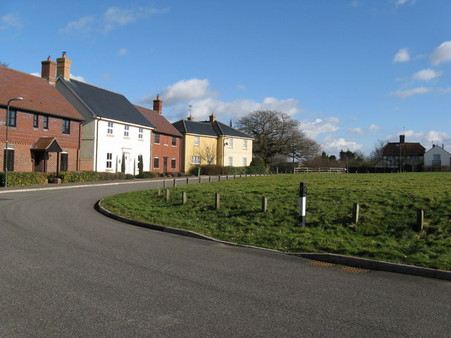
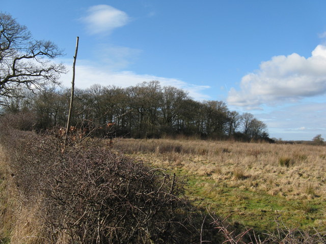
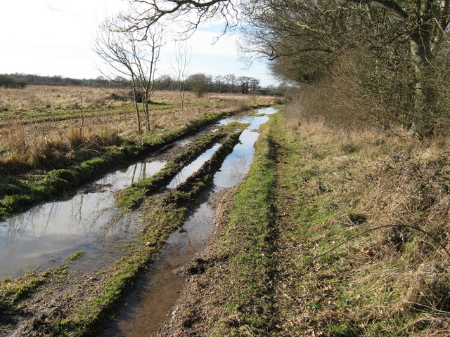
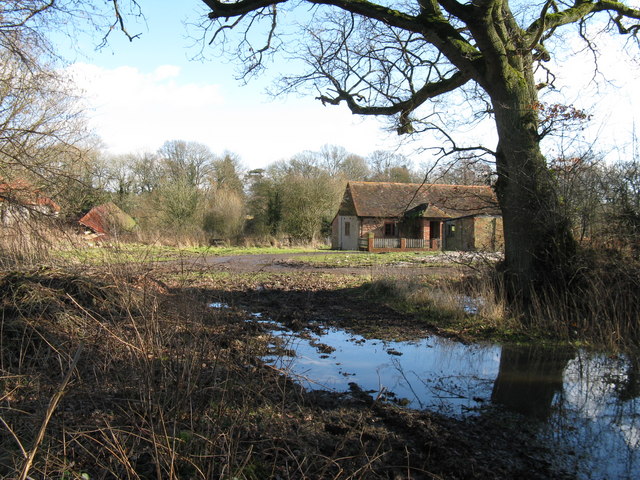
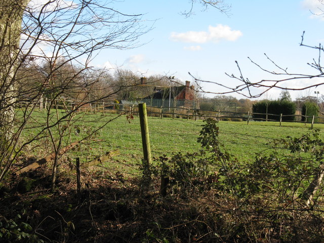
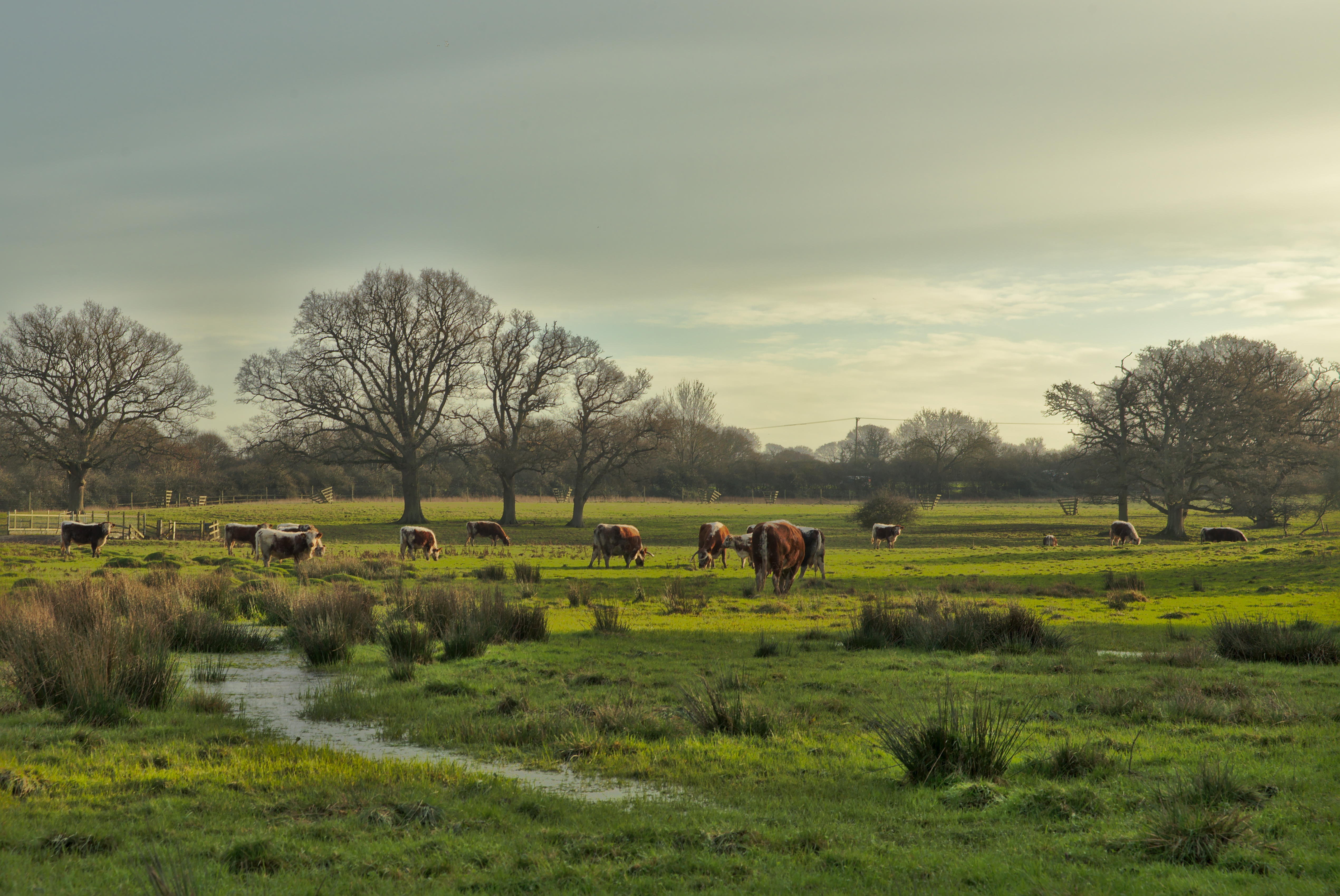
Northern Wood is a picturesque forest located in the county of Sussex, England. Covering an area of approximately 500 acres, it is renowned for its natural beauty, diverse wildlife, and rich biodiversity. The forest is characterized by its dense canopy of towering oak, beech, and ash trees, which create a serene and tranquil atmosphere.
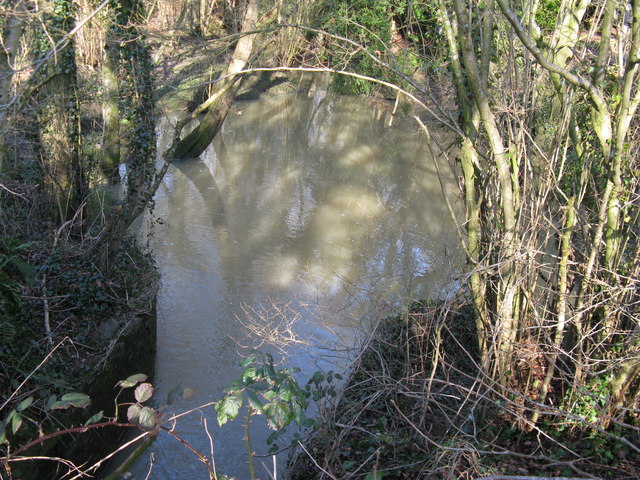
The woodland floor is adorned with a vibrant carpet of wildflowers, including bluebells, primroses, and wood anemones, providing a stunning display during springtime. The forest also boasts numerous clearings, meandering streams, and small ponds, adding to its overall charm.
Northern Wood is home to a wide range of wildlife, making it a popular destination for nature enthusiasts and birdwatchers. Visitors may spot a variety of species, including deer, foxes, badgers, and squirrels. The forest is a haven for birdlife, with species such as woodpeckers, owls, and various songbirds frequently seen or heard.
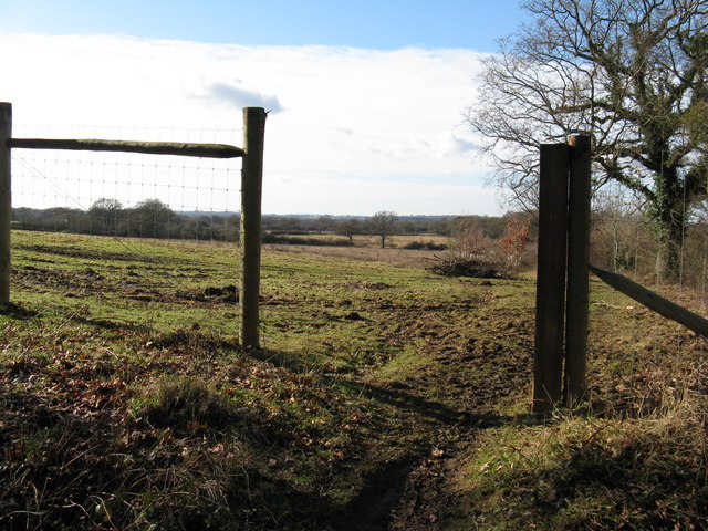
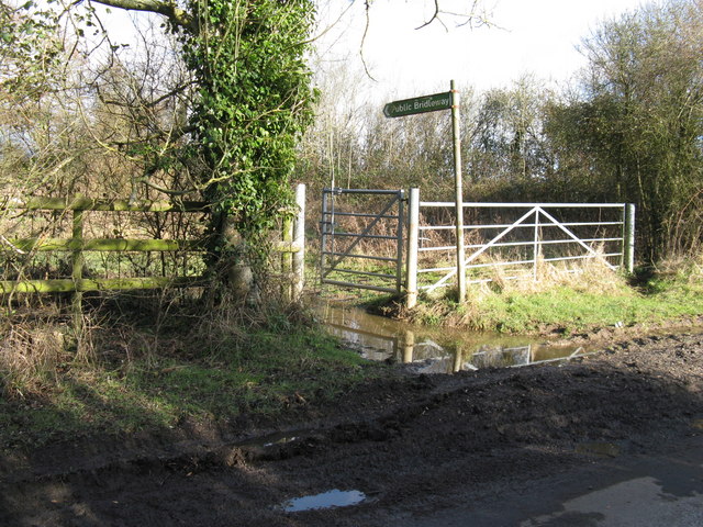
For outdoor enthusiasts, Northern Wood offers a network of well-maintained trails and footpaths, allowing visitors to explore the forest at their own pace. These paths wind through the ancient woodland, providing breathtaking views and opportunities to immerse oneself in nature.
The forest is managed by a dedicated team of conservationists who work tirelessly to preserve its natural beauty and protect its inhabitants. They conduct regular surveys, manage invasive species, and implement sustainable forestry practices to maintain the ecological balance of the woodland.
Overall, Northern Wood in Sussex is a captivating destination for those seeking solace in nature. With its enchanting landscapes, diverse wildlife, and well-preserved ecosystem, it offers a remarkable experience for everyone who ventures into its embrace.
If you have any feedback on the listing, please let us know in the comments section below.
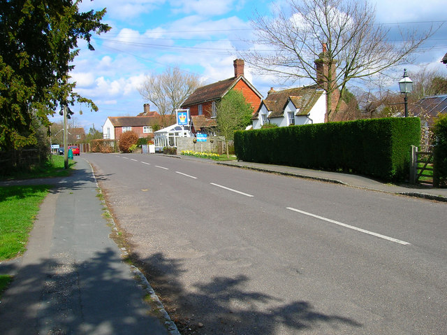
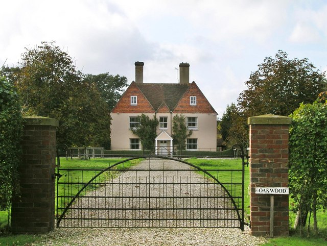
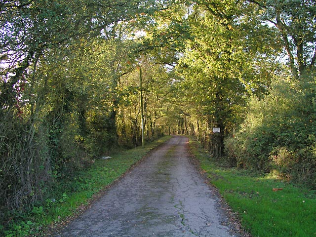
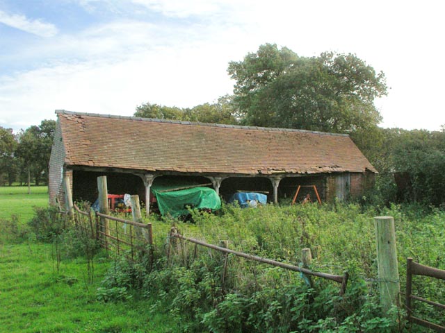
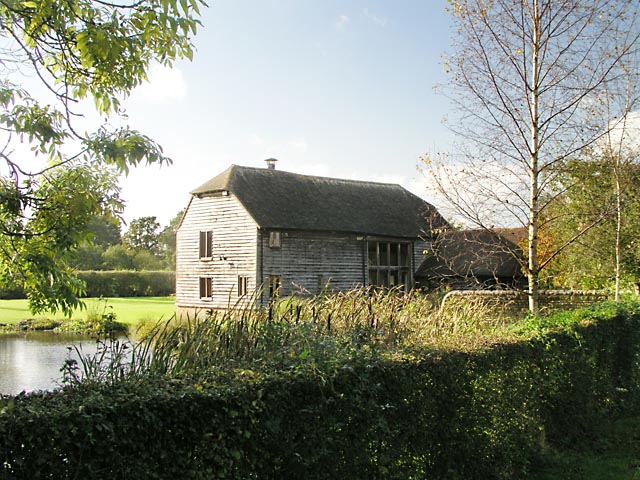
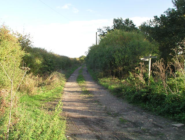
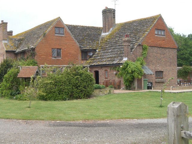
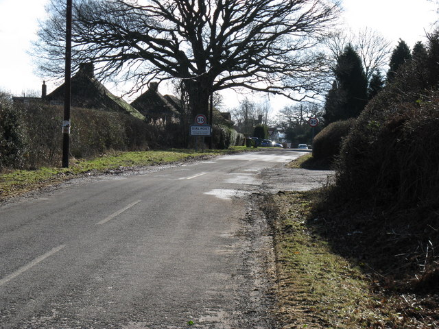
Northern Wood Images
Images are sourced within 2km of 50.967755/-0.377994 or Grid Reference TQ1319. Thanks to Geograph Open Source API. All images are credited.
Northern Wood is located at Grid Ref: TQ1319 (Lat: 50.967755, Lng: -0.377994)
Administrative County: West Sussex
District: Horsham
Police Authority: Sussex
What 3 Words
///mixing.hobby.skip. Near Ashington, West Sussex
Nearby Locations
Related Wikis

Brightling Park
Brightling Park (previously known as Rose Hill) is a country estate which lies in the parishes of Brightling and Dallington in the Rother district of East...

Dial Post
Dial Post is a village in the Horsham District of West Sussex, England. The civil parish, where the lowest level political meetings are held, is West Grinstead...

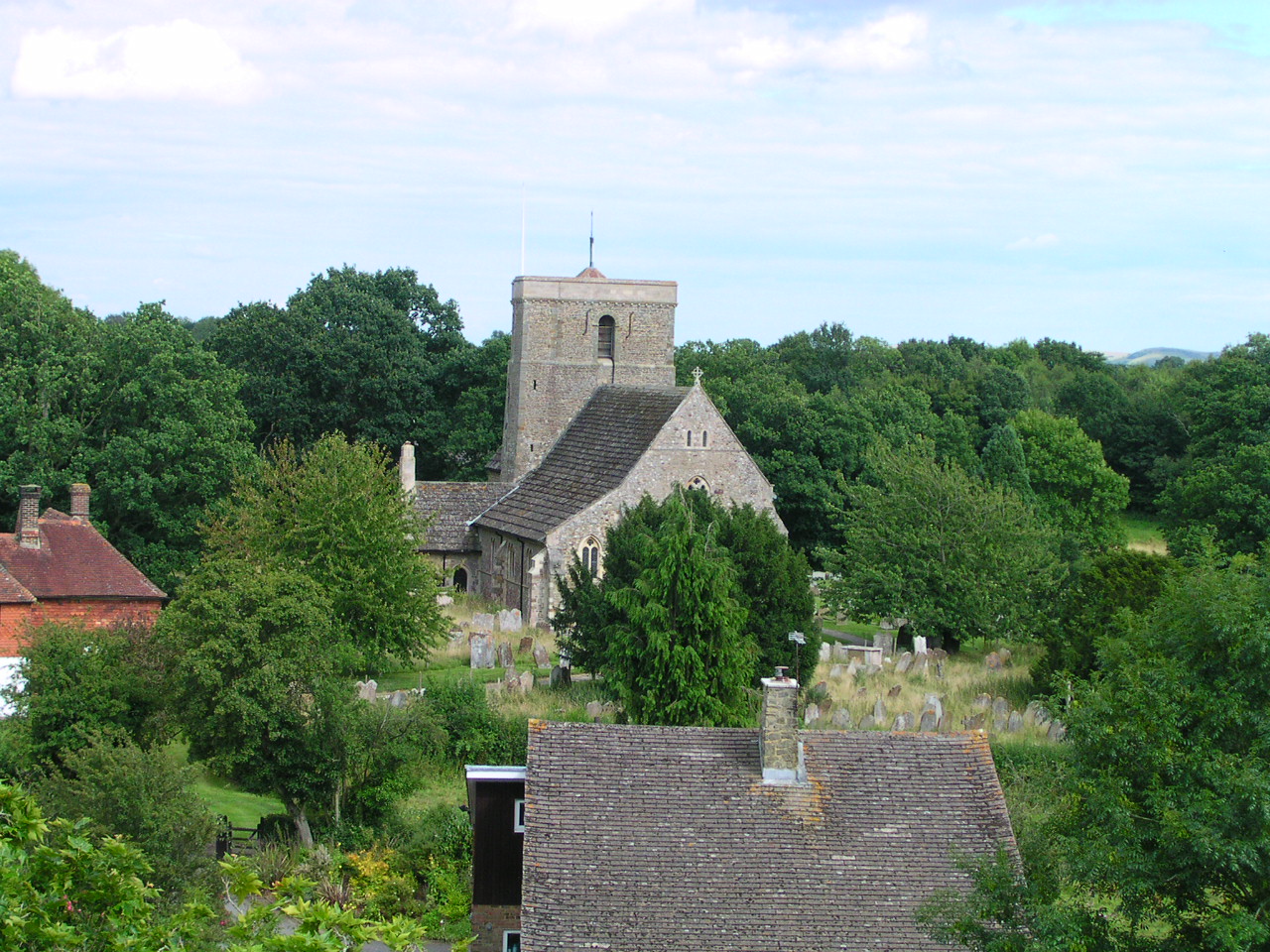
St Mary's Church, Shipley
The Church of St Mary the Virgin is an Anglican church in the village of Shipley, in West Sussex, England. It is in the Diocese of Chichester. Built in...
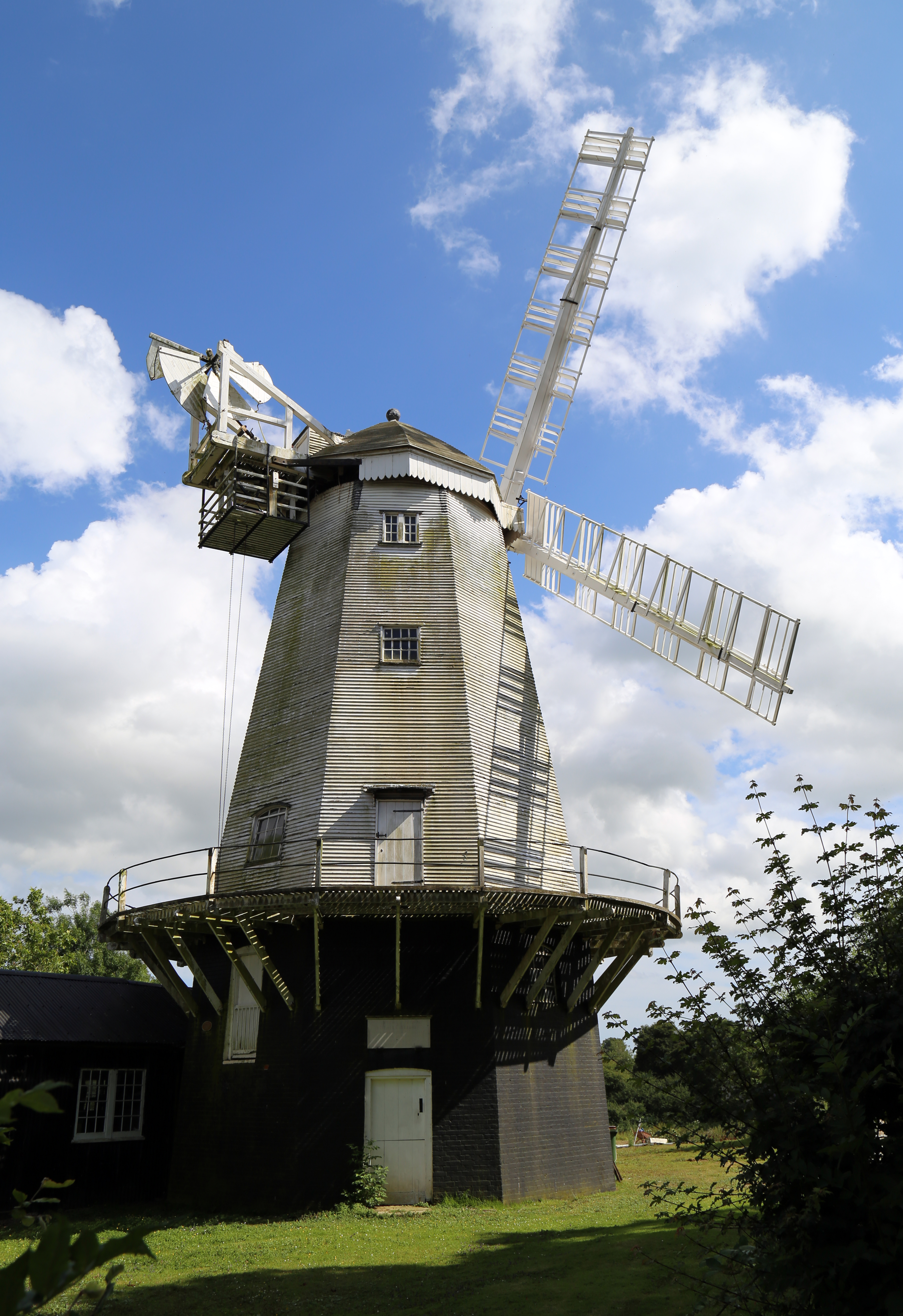
King's Mill, Shipley
King's Mill or Vincent's Mill, Shipley, West Sussex, England, is a smock mill built in 1879. == History == King's Mill was built in 1879 for Friend Martin...
Shipley, West Sussex
Shipley is a village and civil parish in the Horsham District of West Sussex, England. It lies just off the A272 road 6 miles (10 kilometres) north-east...

Knepp Castle
The medieval Knepp Castle (sometimes referred to as 'Old Knepp Castle', to distinguish it from the nearby 19th-century mansion) is to the west of the village...
Knepp Wildland
Knepp Wildland is the first major lowland rewilding project in England. It comprises 1,400 hectares (3,500 acres; 5.4 square miles) of former arable and...

RAF Coolham
Royal Air Force Coolham or more simply RAF Coolham is a former Royal Air Force Advanced Landing Ground located in West Sussex, England. The following units...
Nearby Amenities
Located within 500m of 50.967755,-0.377994Have you been to Northern Wood?
Leave your review of Northern Wood below (or comments, questions and feedback).