Abney and Abney Grange

Civil Parish in Derbyshire Derbyshire Dales

England

Abney and Abney Grange

From Hucklow Edge View from the Hucklow Edge to Bretton road at SK189780 looking west towards Grindlow and Great Hucklow.
From Hucklow Edge Credit: Alan Fleming

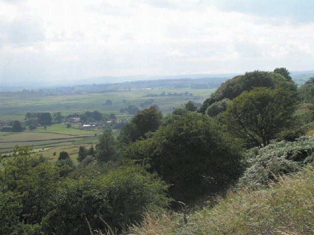
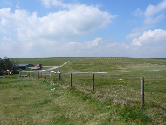
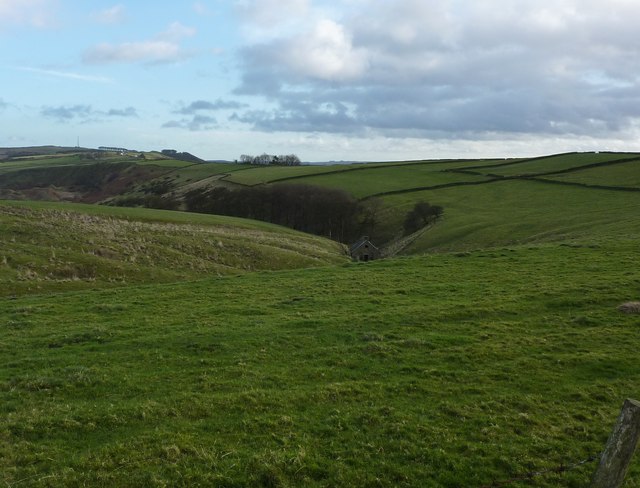
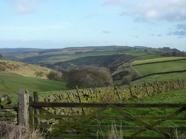
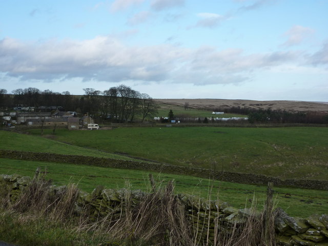
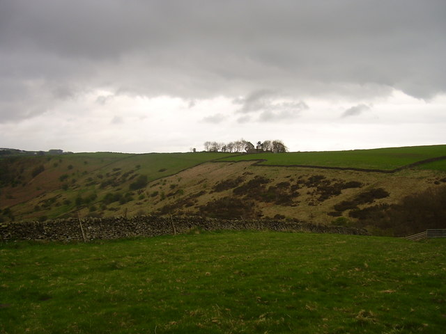
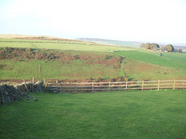
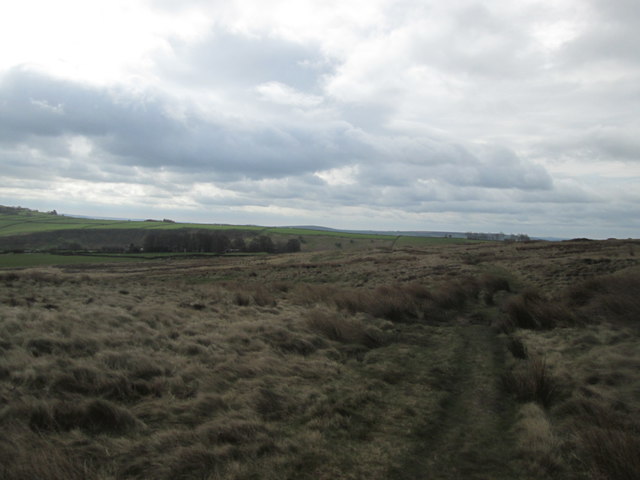
Abney and Abney Grange is a civil parish located in the county of Derbyshire, in the United Kingdom. Situated in the Peak District National Park, the parish covers an area of approximately 10 square kilometers. The parish is named after the small settlements of Abney and Abney Grange, which are the main residential areas within the area.

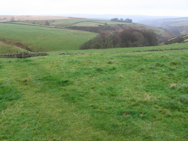
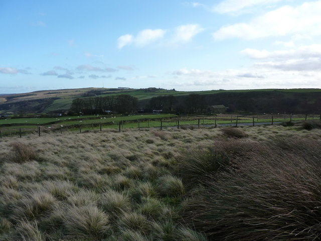
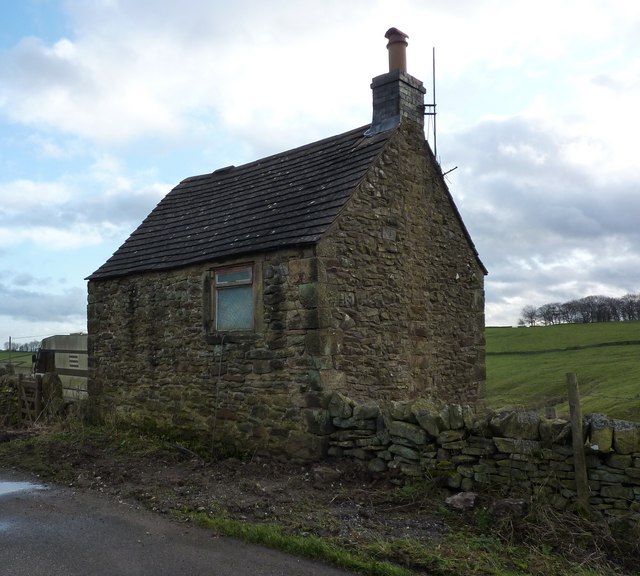
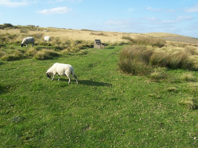
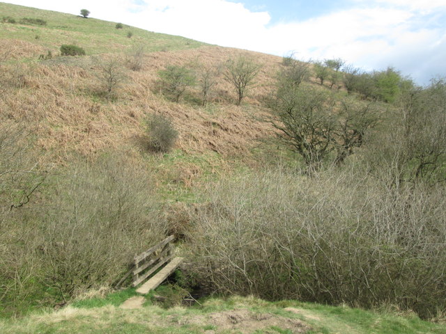
Abney is a quaint village with a population of around 100 residents. It is known for its picturesque countryside and charming stone cottages. The village is surrounded by rolling hills, lush green fields, and woodlands, making it a popular destination for outdoor enthusiasts and nature lovers. Abney is also home to a historic church, which dates back to the 12th century and is a notable architectural landmark in the area.

Abney Grange, on the other hand, is a small hamlet located just west of Abney. It consists of a few scattered houses and farms, offering a more rural and secluded living experience. The hamlet is surrounded by beautiful countryside, with stunning views of the nearby Peak District hills.

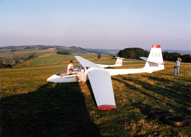
Both Abney and Abney Grange benefit from their proximity to the Peak District National Park, which provides ample opportunities for hiking, cycling, and other outdoor activities. The area is also well-connected to neighboring towns and cities, with good transport links and amenities available nearby.

Overall, Abney and Abney Grange offer a tranquil and idyllic setting for those seeking a peaceful rural lifestyle amidst the natural beauty of Derbyshire's countryside.

If you have any feedback on the listing, please let us know in the comments section below.

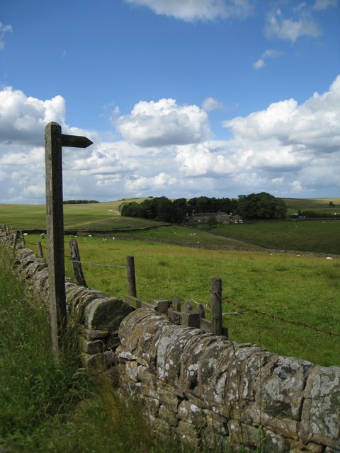
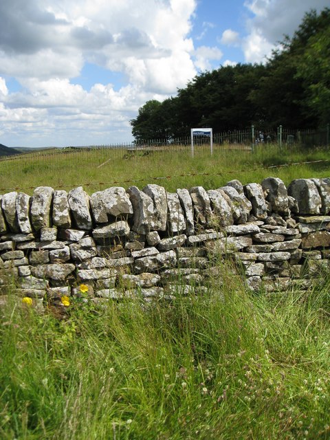
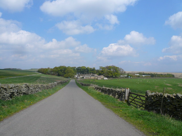
Abney and Abney Grange Images

Images are sourced within 2km of 53.312955/-1.707267 or Grid Reference SK1979. Thanks to Geograph Open Source API. All images are credited.

From Hucklow Edge View from the Hucklow Edge to Bretton road at SK189780 looking west towards Grindlow and Great Hucklow.
From Hucklow Edge
View from the Hucklow Edge to Bretton road at SK189780 looking west towards Grindlow and Great Hucklow.
From Hucklow Edge to Abney Moor Bretton Brook has carved out the valley between the high points.  The gates allow access to the adjacent reservoir.
From Hucklow Edge to Abney Moor
Bretton Brook has carved out the valley between the high points. The gates allow access to the adjacent reservoir.
Footpath from Hucklow Edge This footpath leaves the high ground and descends into the valley.  The buildings are those of Camphill.
Footpath from Hucklow Edge
This footpath leaves the high ground and descends into the valley. The buildings are those of Camphill.
Great Hucklow Reservoir Unmarked on the 1:50 000 map, but shown on the 1:25 000.  A good location for a reservoir - on top of Hucklow Edge.
Great Hucklow Reservoir
Unmarked on the 1:50 000 map, but shown on the 1:25 000. A good location for a reservoir - on top of Hucklow Edge.
Lane approach to the Derbyshire & Lancashire Gliding Club
Gliding Field - View from Public Car Park
Footpath towards Abney Grange
Edge of Abney Moor Grange Farm  over the minor road at SK 190 785
Edge of Abney Moor
Grange Farm over the minor road at SK 190 785
The Bothy Bothy and caravan opposite Derbyshire & Lancashire Gliding Club
The Bothy
Bothy and caravan opposite Derbyshire & Lancashire Gliding Club
Disused building at top of Bretton Clough
Looking east down Bretton Clough The transmitter mast on Sir William Hill, and the Barrel Inn are on the right horizon
Looking east down Bretton Clough
The transmitter mast on Sir William Hill, and the Barrel Inn are on the right horizon
Derbyshire & Lancashire Gliding Club No gliders up today; too windy; there wasn't even a wind sock
Derbyshire & Lancashire Gliding Club
No gliders up today; too windy; there wasn't even a wind sock
Footpath over Abney Moor
Across Bretton Clough Building on Hucklow Edge.
Across Bretton Clough
Building on Hucklow Edge.
Across the Valley from Hucklow Edge This picture was taken on a fine evening in mid October. Abney Grange (SK1978) is visible on the opposite side of the valley.
Across the Valley from Hucklow Edge
This picture was taken on a fine evening in mid October. Abney Grange (SK1978) is visible on the opposite side of the valley.
Camphill, Abney Moor (1997) Launch site for the Derbyshire & Lancashire Gliding Club.
Camphill, Abney Moor (1997)
Launch site for the Derbyshire & Lancashire Gliding Club.
Abney Moor towards Abney Grange
Footbridge south of Abney Grange
Show me another place!

Abney and Abney Grange is located at Grid Ref: SK1979 (Lat: 53.312955, Lng: -1.707267)

Administrative County: Derbyshire

District: Derbyshire Dales

Police Authority: Derbyshire

What 3 Words

///chemistry.steady.brotherly. Near Hathersage, Derbyshire

Related Wikis

Abney, Derbyshire

Abney (Old English Abba's Island) is a village in the English county of Derbyshire. The settlement was mentioned as Habenai in the Domesday book of 1086...

Abney and Abney Grange

Abney and Abney Grange is a civil parish in the Derbyshire Dales district of Derbyshire, England. It covers the villages of Abney and Abney Grange....

Deadman's Clough

Deadman's Clough is a stream in the civil parish of Hazlebadge in the Derbyshire Peak District. The stream rises to the south of Bradwell, where it meets...

Offerton, Derbyshire

Offerton is a hamlet and civil parish in the Derbyshire Dales district, in Derbyshire, England. It lies on the River Derwent. The village features Offerton...

Hazlebadge

Hazlebadge is a civil parish within the Derbyshire Dales district, in the county of Derbyshire, England. Largely rural, Hazlebadge's population is reported...
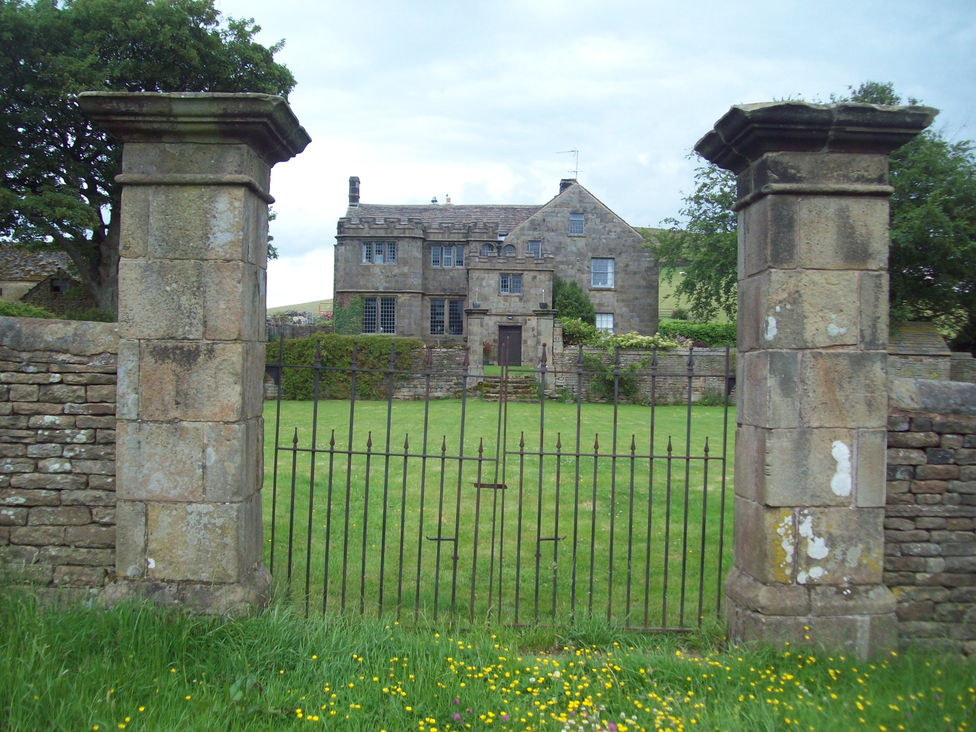
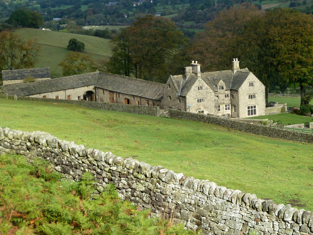
Highlow Hall

Highlow Hall is a historic Elizabethan manor house in Highlow civil parish, near Hathersage, Derbyshire, England. It was owned by the Eyre family from...

Highlow

Highlow is a civil parish within the Derbyshire Dales district, in the county of Derbyshire, England. Largely rural, Highlow's population is reported with...

Eyam Moor

Eyam Moor is a plateau-topped hill between the villages of Eyam and Hathersage in Derbyshire, in the Peak District of England. The summit of Sir William...

Nearby Amenities

Located within 500m of 53.312955,-1.707267
Abney
Is In: Derbyshire, England, UK
Place: village
Source: npe
Wikidata: Q2239361
Wikipedia: en:Abney, Derbyshire
Lat/Long: 53.3151787/-1.7047536
Ele: 317.0000000
Lat/Long: 53.3101699/-1.7113834
Ele: 319.0000000
Lat/Long: 53.3100208/-1.7115524
Post Box
Collection Times: Mo-Fr 15:45; Sa 10:30
Post Box Type: wall
Ref: S32 207
Royal Cypher: VR
Royal Cypher Wikidata: Q33102356
Lat/Long: 53.3149572/-1.7042195
Defibrillator
Access: yes
Booth: K6
Check Date: 2023-03-08
Covered: booth
Defibrillator Location: In old telephone box.
Disused Amenity: telephone
Emergency: defibrillator
Indoor: no
Man Made: telephone_box
Opening Hours: 24/7
Ref GB The Circuit: F53AD6B2-5CF1-4140-9C01-AD06010861A5
Lat/Long: 53.3147548/-1.7044875
Ele: 286.0000000
Lat/Long: 53.3140518/-1.7054304
Ele: 296.0000000
Lat/Long: 53.3128752/-1.7086097
Ele: 286.0000000
Lat/Long: 53.3132414/-1.7069191
Barrier: cattle_grid
Lat/Long: 53.3110108/-1.7034697
Ele: 301.0000000
Lat/Long: 53.3124081/-1.7087501
Ele: 307.0000000
Lat/Long: 53.3118953/-1.7091631
Barrier: stile
Material: stone
Source: survey;gps
Stile: stepover
Lat/Long: 53.3118322/-1.7024774
Parking
Parking: surface
Lat/Long: 53.311821/-1.7094456
The data included in this document is from www.openstreetmap.org. The data is made available under ODbL.

Have you been to Abney and Abney Grange?

Leave your review of Abney and Abney Grange below (or comments, questions and feedback).