Abney

Settlement in Derbyshire Derbyshire Dales

England

Abney

From Hucklow Edge View from the Hucklow Edge to Bretton road at SK189780 looking west towards Grindlow and Great Hucklow.
From Hucklow Edge Credit: Alan Fleming

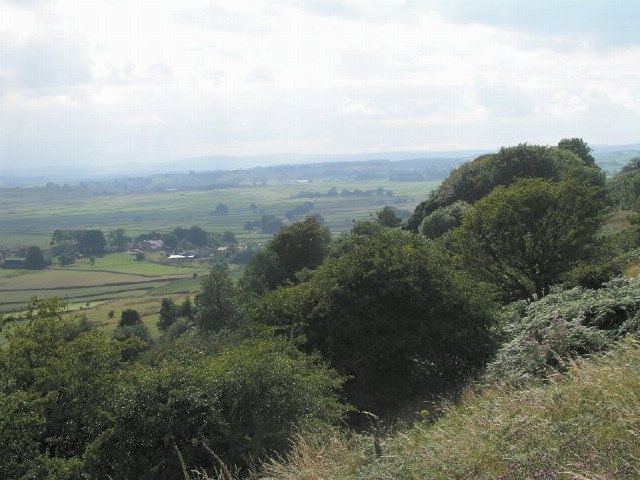
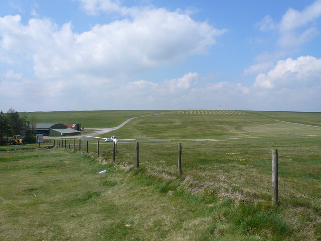
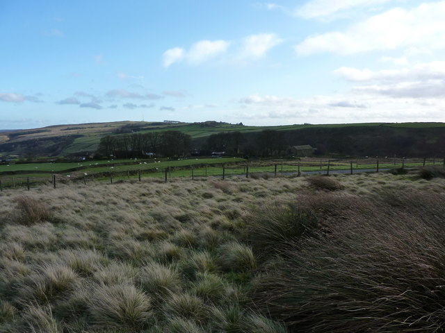
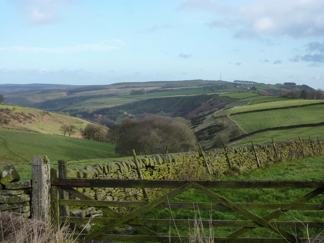
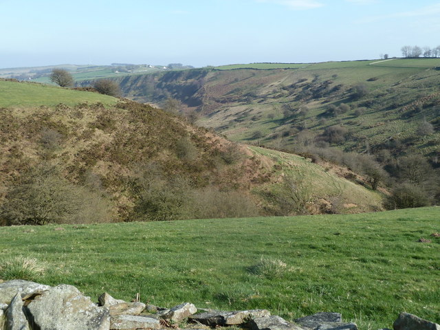
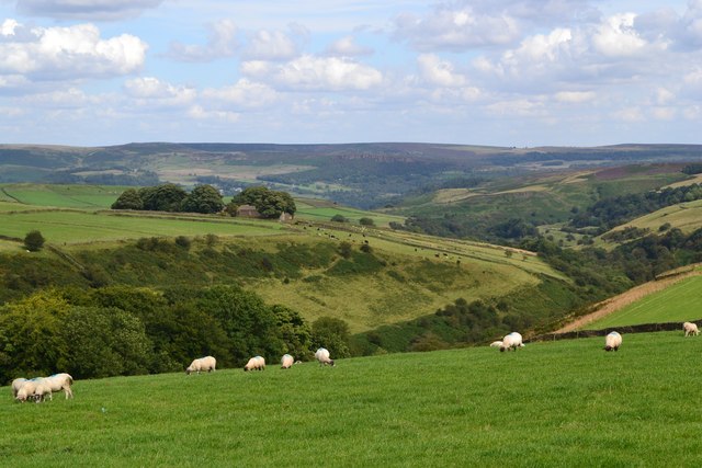
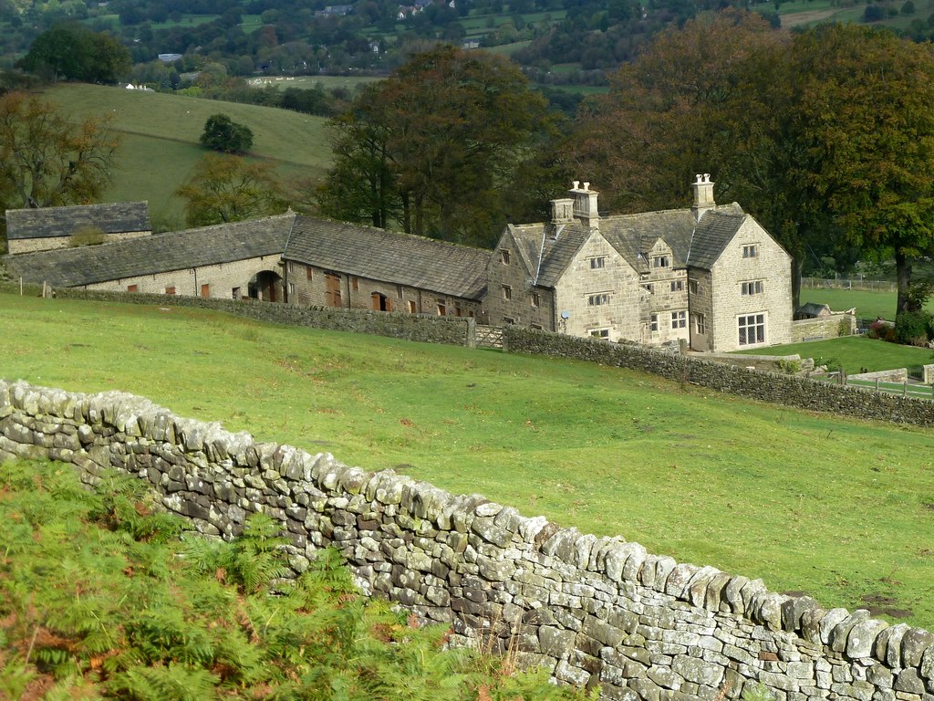
Abney is a small village located in the Derbyshire Dales, in the East Midlands region of England. Situated within the Peak District National Park, it is surrounded by picturesque countryside and rolling hills. The village is nestled in the Hope Valley, approximately five miles southwest of the town of Bakewell.

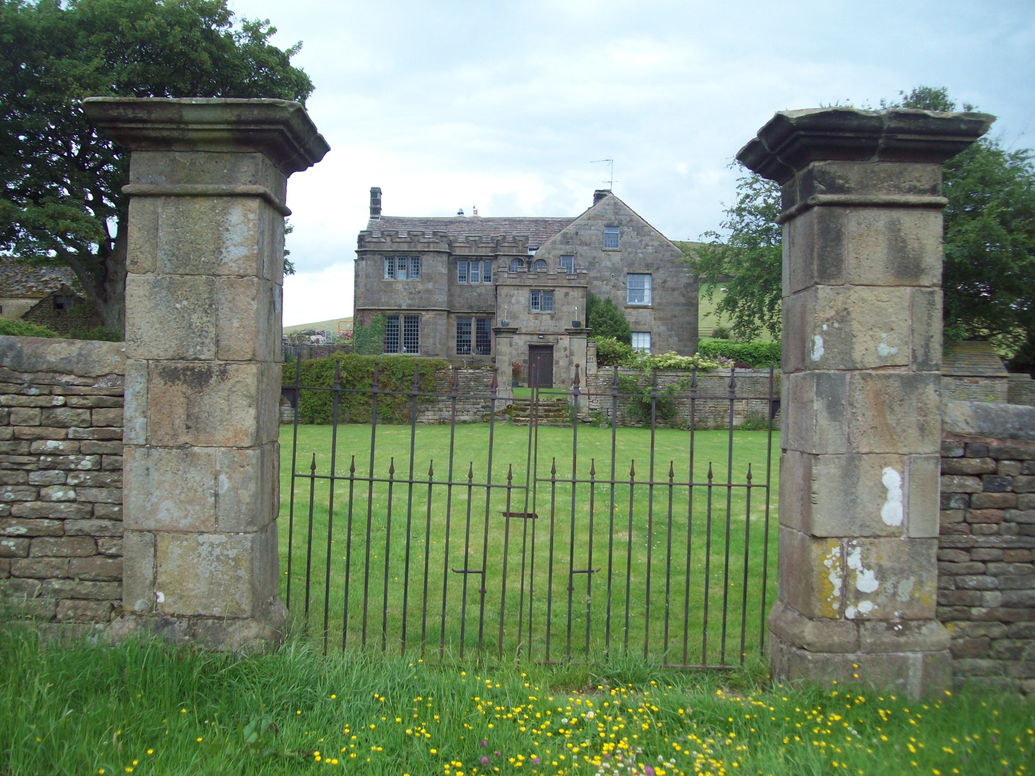
Abney is known for its charming rural atmosphere and tranquil surroundings, making it a popular destination for nature lovers and outdoor enthusiasts. The village is characterized by its traditional stone houses and quaint cottages, which add to its rustic charm.

One of the notable features of Abney is its proximity to several walking trails and hiking routes. The village is a great starting point for exploring the stunning landscapes of the Peak District, including the nearby Mam Tor and the Great Ridge. These areas offer breathtaking views of the surrounding countryside and are a haven for hikers and photographers.

Although small in size, Abney has a close-knit community and a welcoming atmosphere. There is a local pub, The Abney Inn, which serves as a gathering point for residents and visitors alike. The village also hosts various events and activities throughout the year, including a summer fete and a Christmas market.

In summary, Abney is a charming village in Derbyshire, known for its idyllic setting, beautiful scenery, and access to the stunning landscapes of the Peak District. It offers a peaceful retreat for those seeking a break from the hustle and bustle of city life.

If you have any feedback on the listing, please let us know in the comments section below.
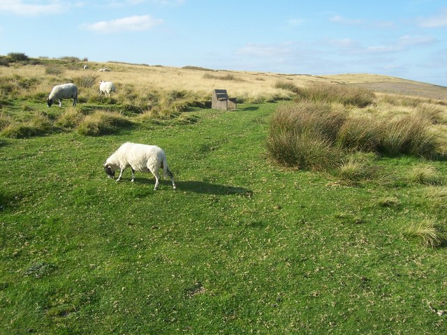
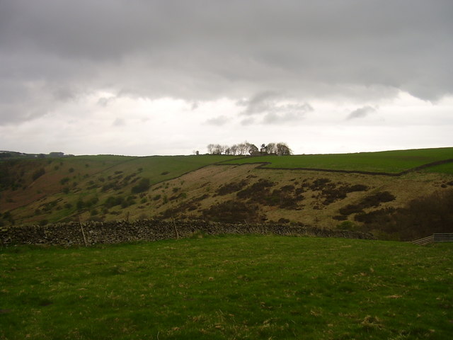
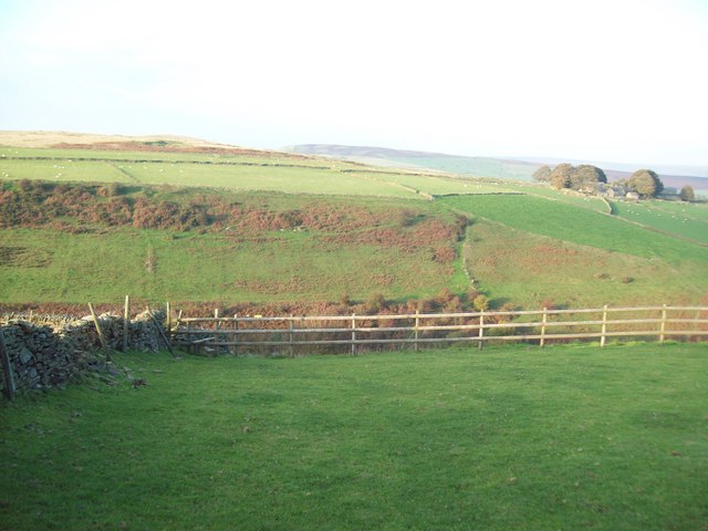
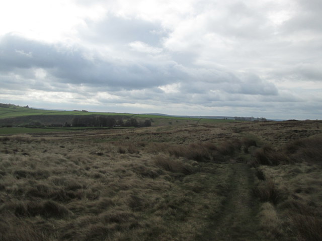
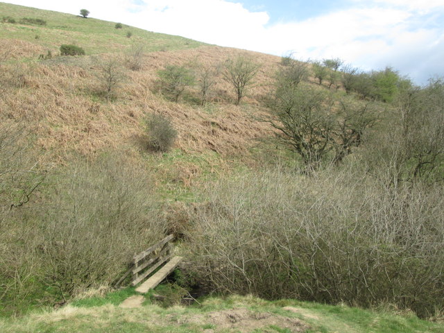
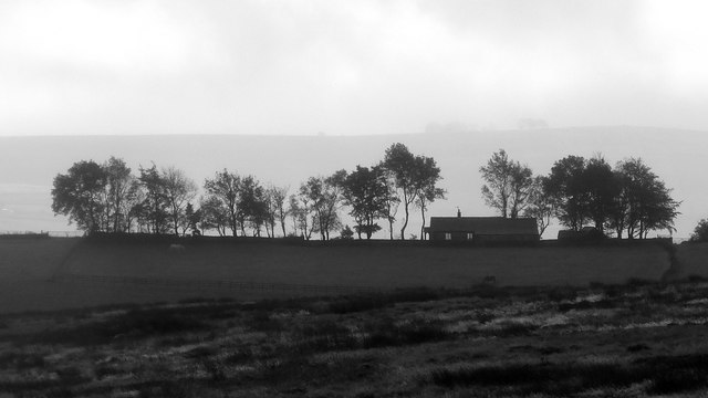
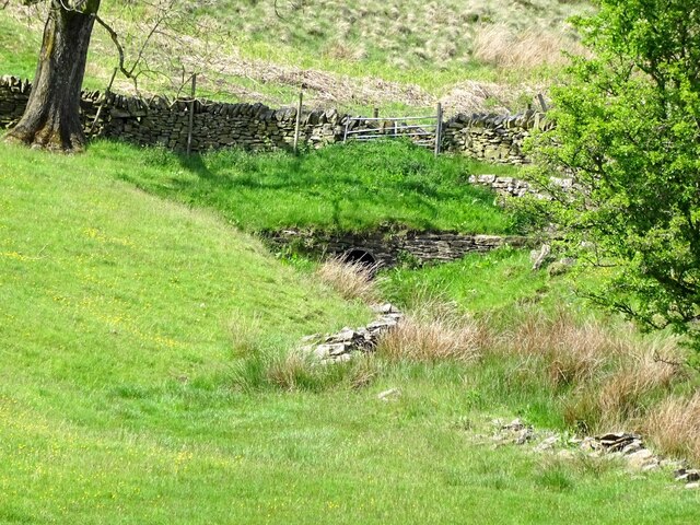
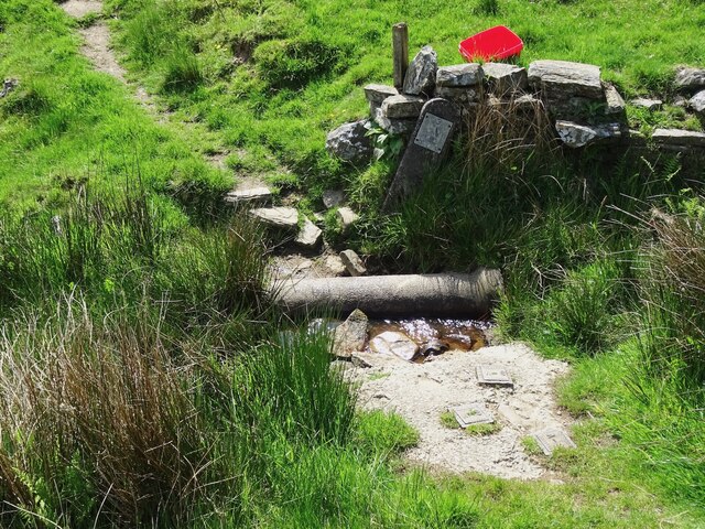
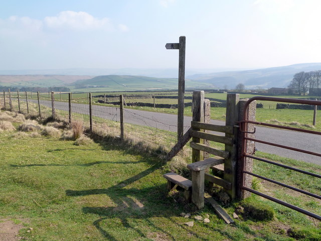
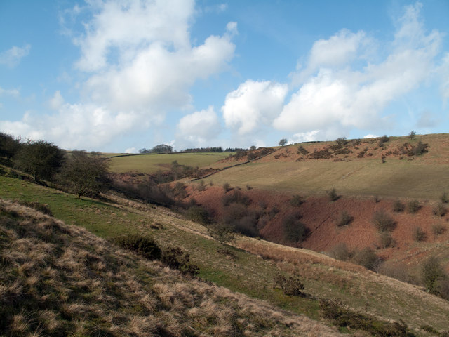
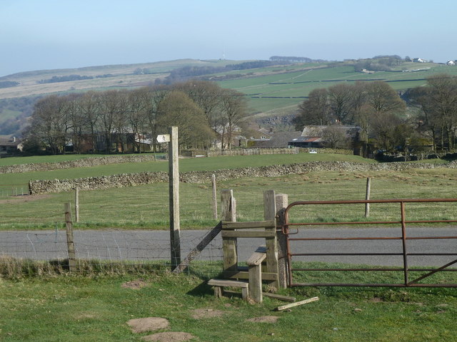
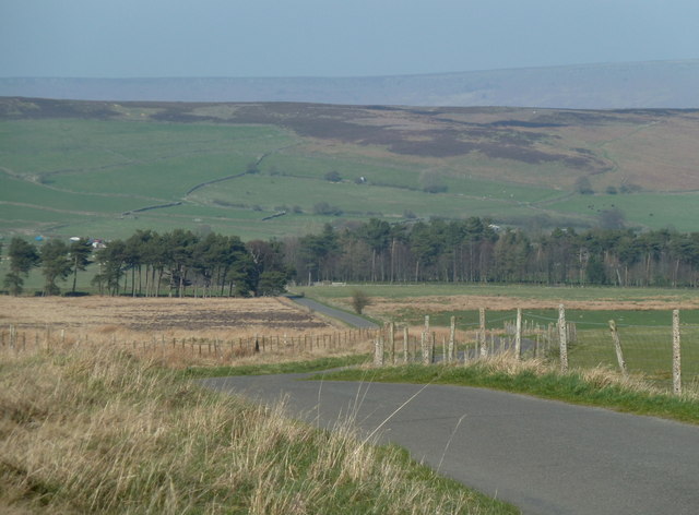
Abney Images

Images are sourced within 2km of 53.314809/-1.704433 or Grid Reference SK1979. Thanks to Geograph Open Source API. All images are credited.

From Hucklow Edge View from the Hucklow Edge to Bretton road at SK189780 looking west towards Grindlow and Great Hucklow.
From Hucklow Edge
View from the Hucklow Edge to Bretton road at SK189780 looking west towards Grindlow and Great Hucklow.
Gliding Field - View from Public Car Park
Edge of Abney Moor Grange Farm  over the minor road at SK 190 785
Edge of Abney Moor
Grange Farm over the minor road at SK 190 785
Looking east down Bretton Clough The transmitter mast on Sir William Hill, and the Barrel Inn are on the right horizon
Looking east down Bretton Clough
The transmitter mast on Sir William Hill, and the Barrel Inn are on the right horizon
Footpath over Abney Moor
Across Bretton Clough Building on Hucklow Edge.
Across Bretton Clough
Building on Hucklow Edge.
Across the Valley from Hucklow Edge This picture was taken on a fine evening in mid October. Abney Grange (SK1978) is visible on the opposite side of the valley.
Across the Valley from Hucklow Edge
This picture was taken on a fine evening in mid October. Abney Grange (SK1978) is visible on the opposite side of the valley.
Abney Moor towards Abney Grange
Footbridge south of Abney Grange
Trees and cottage on Hucklow Edge Photographed with a long lens from Abney Moor
Trees and cottage on Hucklow Edge
Photographed with a long lens from Abney Moor
Bretton Brook emerging from a culvert under Camphill Lane
Footpath crossing Bretton Brook
Stile and footpath sign near Abney Grange With superb views over to Eyam Moor
Stile and footpath sign near Abney Grange
With superb views over to Eyam Moor
Upper Bretton Clough Bretton Clough is a striking Peak District valley. The upper part of the valley seen here is attractive enough though un-remarkable but to the east the landscape is distorted by ancient landslips.
Upper Bretton Clough
Bretton Clough is a striking Peak District valley. The upper part of the valley seen here is attractive enough though un-remarkable but to the east the landscape is distorted by ancient landslips.
Moorland footpath reaches the lane above Abney Grange The stile crosses the fence onto the straight moorland road across gently graded slopes.
Moorland footpath reaches the lane above Abney Grange
The stile crosses the fence onto the straight moorland road across gently graded slopes.
Lane crossing Abney Moor The lane descends gradually in a northeasterly direction.
Lane crossing Abney Moor
The lane descends gradually in a northeasterly direction.
Upper part of Bretton Clough A deep valley gouged into open moorland.  Seen from a path taking a more direct route than the lane.
Upper part of Bretton Clough
A deep valley gouged into open moorland. Seen from a path taking a more direct route than the lane.
Abney Grange and Bretton Clough seen from the west
Show me another place!

Abney is located at Grid Ref: SK1979 (Lat: 53.314809, Lng: -1.704433)

Administrative County: Derbyshire

District: Derbyshire Dales

Police Authority: Derbyshire

What 3 Words

///vintages.makes.nerd. Near Hathersage, Derbyshire

Related Wikis

Nearby Amenities

Located within 500m of 53.314809,-1.704433
Abney
Is In: Derbyshire, England, UK
Place: village
Source: npe
Wikidata: Q2239361
Wikipedia: en:Abney, Derbyshire
Lat/Long: 53.3151787/-1.7047536
Barrier: stile
Material: stone
Source: survey;gps
Stile: stepover
Lat/Long: 53.3174546/-1.700257
Post Box
Collection Times: Mo-Fr 15:45; Sa 10:30
Post Box Type: wall
Ref: S32 207
Royal Cypher: VR
Royal Cypher Wikidata: Q33102356
Lat/Long: 53.3149572/-1.7042195
Defibrillator
Access: yes
Booth: K6
Check Date: 2023-03-08
Covered: booth
Defibrillator Location: In old telephone box.
Disused Amenity: telephone
Emergency: defibrillator
Indoor: no
Man Made: telephone_box
Opening Hours: 24/7
Ref GB The Circuit: F53AD6B2-5CF1-4140-9C01-AD06010861A5
Lat/Long: 53.3147548/-1.7044875
Ele: 286.0000000
Lat/Long: 53.3140518/-1.7054304
Ele: 296.0000000
Lat/Long: 53.3128752/-1.7086097
Ele: 286.0000000
Lat/Long: 53.3132414/-1.7069191
Barrier: cattle_grid
Lat/Long: 53.3110108/-1.7034697
Ele: 301.0000000
Lat/Long: 53.3124081/-1.7087501
Ele: 307.0000000
Lat/Long: 53.3118953/-1.7091631
Barrier: stile
Material: stone
Source: survey;gps
Stile: stepover
Lat/Long: 53.3164368/-1.699762
Barrier: stile
Material: stone
Source: survey;gps
Step Count: 3
Stile: stepover
Lat/Long: 53.3176055/-1.6996414
Barrier: stile
Material: stone
Source: survey;gps
Stile: stepover
Lat/Long: 53.3118322/-1.7024774
Parking
Parking: surface
Lat/Long: 53.311821/-1.7094456
The data included in this document is from www.openstreetmap.org. The data is made available under ODbL.

Have you been to Abney?

Leave your review of Abney below (or comments, questions and feedback).