Ablington
Settlement in Wiltshire
England
Ablington

Ablington is a small village located in the county of Wiltshire, England. Situated approximately 4 miles southeast of the town of Marlborough, Ablington is nestled in the picturesque countryside of the Marlborough Downs. The village is part of the larger civil parish of West Overton.
Ablington is known for its tranquility and scenic beauty, with rolling hills, green meadows, and charming country lanes. The village is surrounded by farmland, predominantly used for agriculture and grazing. It benefits from a peaceful and rural atmosphere, attracting those seeking a quiet and idyllic setting.
The village itself is relatively small, with a population of around 150 residents. It consists of a cluster of traditional stone houses, some of which date back centuries, giving the village a quaint and historical feel. Ablington also features a small church, St. Michael's, which adds to the village's charm.
Despite its size, Ablington offers a strong sense of community with various social activities and events organized throughout the year. The village is well-connected to nearby towns and villages, with good transport links and easy access to major roads.
Overall, Ablington is a hidden gem in the Wiltshire countryside, offering a peaceful retreat for residents and visitors alike, with its stunning natural surroundings and close-knit community.
If you have any feedback on the listing, please let us know in the comments section below.
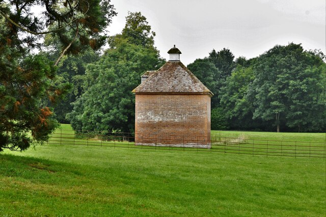
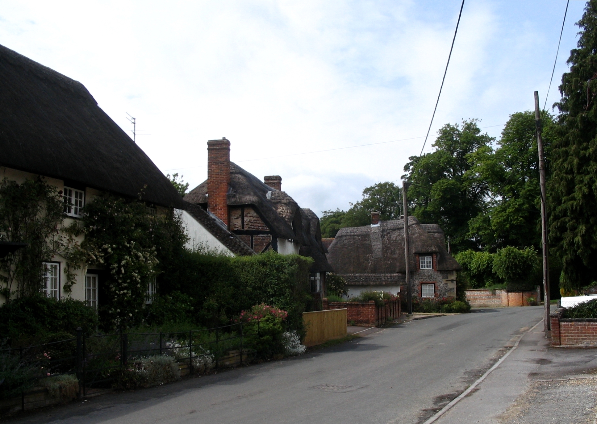
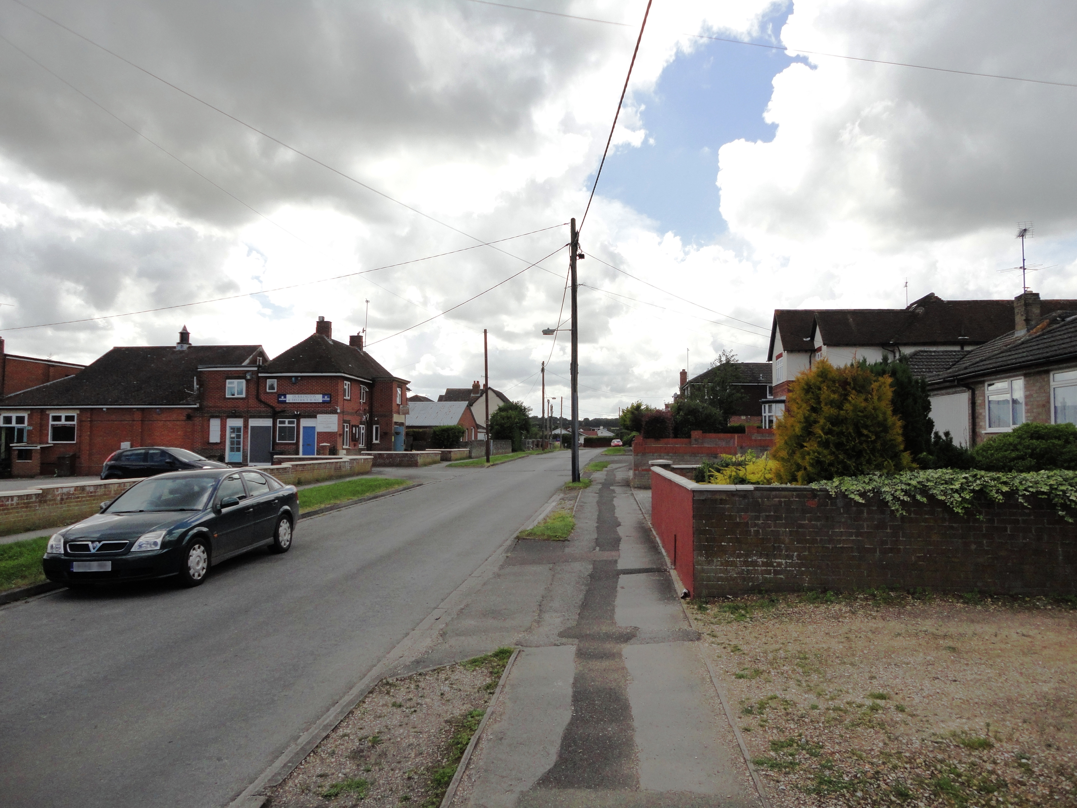
Ablington Images
Images are sourced within 2km of 51.220572/-1.773727 or Grid Reference SU1546. Thanks to Geograph Open Source API. All images are credited.


Ablington is located at Grid Ref: SU1546 (Lat: 51.220572, Lng: -1.773727)
Unitary Authority: Wiltshire
Police Authority: Wiltshire
What 3 Words
///daily.plums.takeover. Near Milston, Wiltshire
Nearby Locations
Related Wikis

Ablington, Wiltshire
Ablington is a small village in the English county of Wiltshire, on the River Avon, close to the village of Figheldean and about 3.5 miles (5.6 km) north...

Barrow Clump
Barrow Clump is an archaeological site in Figheldean parish, Wiltshire, England, about 3+1⁄2 miles (5.6 km) north of the town of Amesbury. The site is...
Figheldean
Figheldean is a village and civil parish on the River Avon, 3+1⁄2 miles (6 km) north of Amesbury in Wiltshire, England. Figheldean parish extends 3 miles...

Milston
Milston is a hamlet and civil parish in Wiltshire, England, about 10 miles (16 km) north of Salisbury and separated from Durrington by the River Avon....

All Saints' Church, Netheravon
The Church of All Saints is the Church of England parish church for the village of Netheravon, Wiltshire, England. A church has stood on this site near...

Avon Valley Academy
Avon Valley Academy is a mixed secondary school in Durrington, Wiltshire, England. Earlier in its history it has been known as Durrington Senior School...

Netheravon
Netheravon is a village and civil parish on the River Avon and A345 road, about 4 miles (6.4 km) north of the town of Amesbury in Wiltshire, South West...
Durrington, Wiltshire
Durrington is a village and civil parish in Wiltshire, England. The village lies about 2 miles (3.2 km) north of the town of Amesbury, 10 miles (16 km...
Nearby Amenities
Located within 500m of 51.220572,-1.773727Have you been to Ablington?
Leave your review of Ablington below (or comments, questions and feedback).