Ablington Amenity Plantation

Wood, Forest in Wiltshire

England

Ablington Amenity Plantation

Figheldean ca 1980 (2)
Figheldean ca 1980 (2) Credit: Ronald Searle

Ablington Amenity Plantation is a picturesque woodland area located in the county of Wiltshire, England. Spread over a vast expanse of land, this plantation is known for its enchanting beauty and diverse range of flora and fauna.

Covered in a mixture of deciduous and coniferous trees, Ablington Amenity Plantation offers a serene escape from the hustle and bustle of everyday life. The woodland is primarily composed of native species such as oak, beech, and birch, which provide a rich habitat for various wildlife species.

The plantation is a haven for birdwatchers, with many species of woodland birds being spotted here, including woodpeckers, owls, and finches. The tranquil atmosphere of the woodland is also perfect for nature enthusiasts, who can explore the area's numerous trails and pathways.

Ablington Amenity Plantation is managed by local authorities, who ensure its preservation and maintenance. The woodland is periodically thinned to promote healthy growth and prevent overcrowding, allowing sunlight to reach the forest floor and nurture a diverse undergrowth of wildflowers and ferns.

The plantation is open to the public, who can enjoy leisurely walks, picnics, and nature photography within its boundaries. There are also designated areas for camping and barbecuing, making it an ideal spot for outdoor activities with family and friends.

Overall, Ablington Amenity Plantation is a stunning woodland retreat that offers a tranquil and immersive experience in the heart of Wiltshire's natural beauty.

If you have any feedback on the listing, please let us know in the comments section below.

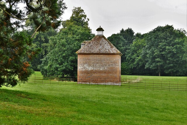
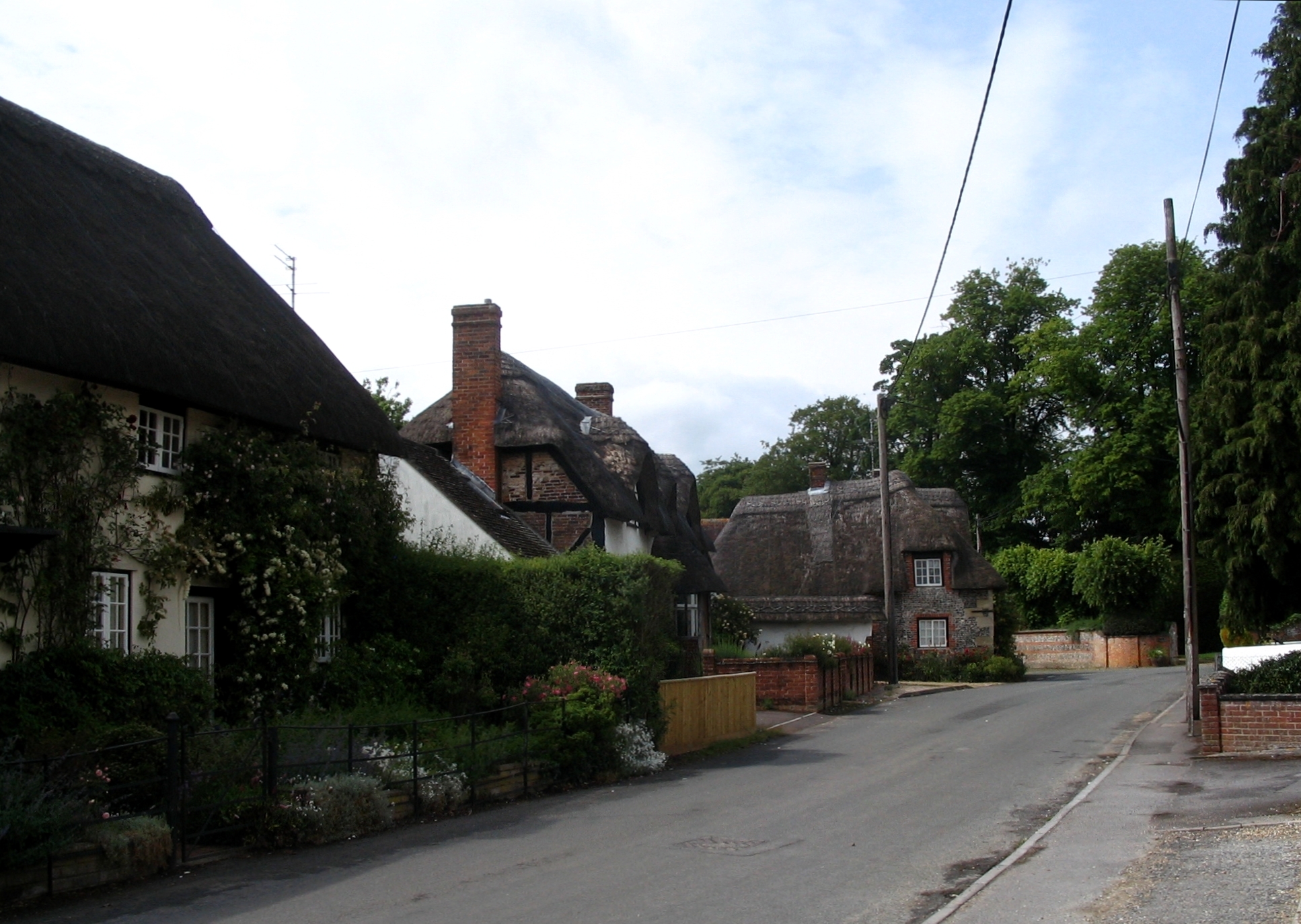
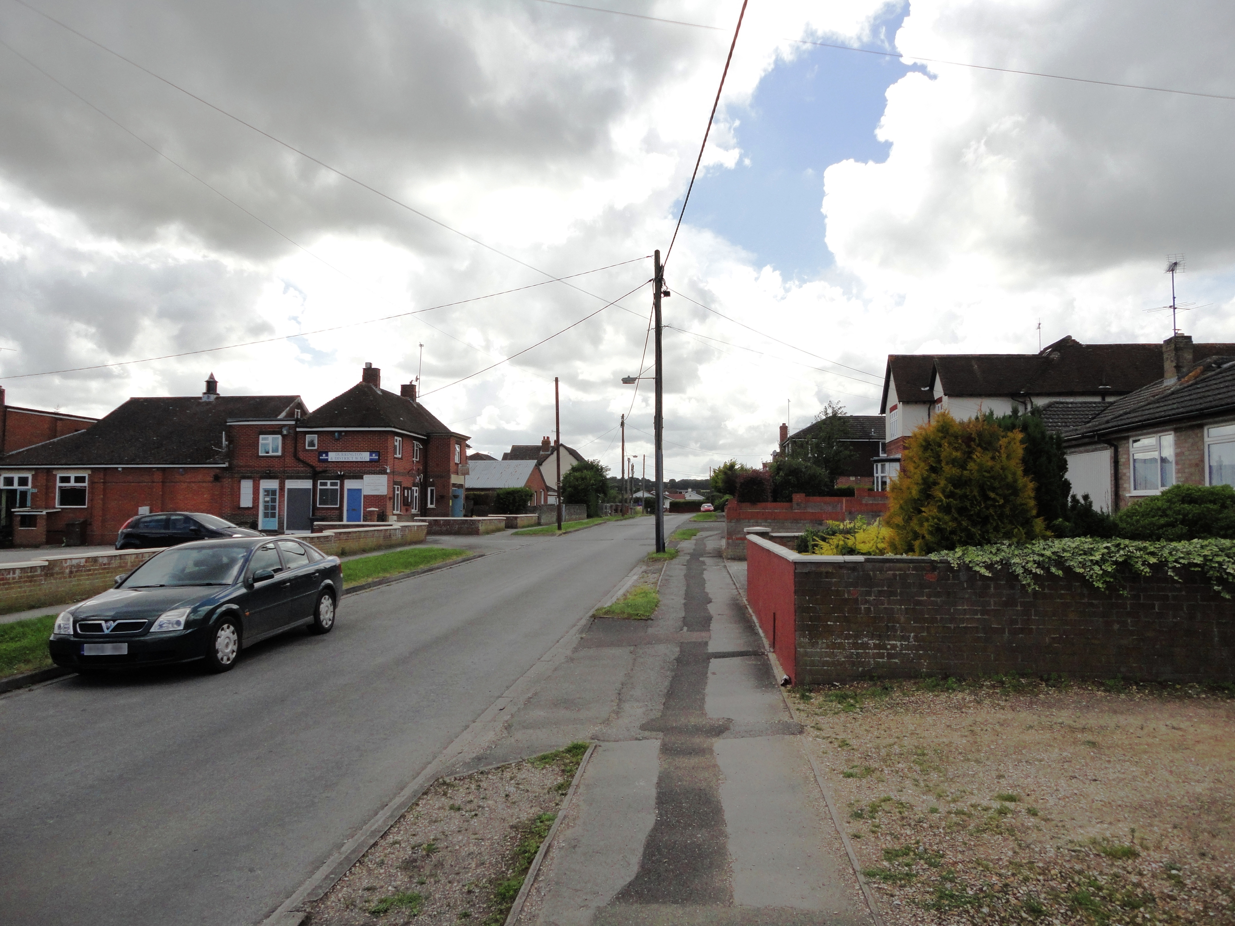
Ablington Amenity Plantation Images

Images are sourced within 2km of 51.220706/-1.7768344 or Grid Reference SU1546. Thanks to Geograph Open Source API. All images are credited.

Figheldean ca 1980 (2)
Netheravon, All Saints Church: Northern aspect
Netheravon Dovecote
Netheravon Dovecote
Netheravon, All Saints Church: The Saxon tower base
Netheravon, All Saints Church: Saxon tower base with top part added in c12th or c13th
Netheravon, All Saints Church: Blocked Saxon north doorway to the tower
Netheravon, All Saints Church: Blocked Saxon north doorway to the tower (detail)
Netheravon, All Saints Church: c11th capital on the west tower doorway
Netheravon, All Saints Church:  Saxon south doorway to the tower
Netheravon, All Saints Church: Saxon south doorway to the tower
Netheravon, All Saints Church: Saxon tower base with top part added in c12th or c13th
Netheravon, All Saints Church:  Southern aspect
Netheravon, All Saints Church: Southern aspect
Netheravon, All Saints Church: R.E. Heyburn war grave
Netheravon, All Saints Church: James M. W. Thom war grave
Netheravon, All Saints Church: Early English nave
Netheravon, All Saints Church: Saxon tower arch
Show me another place!

Ablington Amenity Plantation is located at Grid Ref: SU1546 (Lat: 51.220706, Lng: -1.7768344)

Unitary Authority: Wiltshire

Police Authority: Wiltshire

What 3 Words

///fulfilled.revival.pizza. Near Milston, Wiltshire

Related Wikis

Nearby Amenities

Located within 500m of 51.220706,-1.7768344
Odbl: clean
Lat/Long: 51.2219899/-1.7726765
Figheldean
Place: village
Lat/Long: 51.2229562/-1.7818847
Ablington
Odbl: clean
Place: hamlet
Lat/Long: 51.2212116/-1.7749988
Odbl: clean
Lat/Long: 51.2191957/-1.7811786
Odbl: clean
Lat/Long: 51.2189269/-1.7814361
Odbl: clean
Lat/Long: 51.2188346/-1.7817068
The data included in this document is from www.openstreetmap.org. The data is made available under ODbL.

Have you been to Ablington Amenity Plantation?

Leave your review of Ablington Amenity Plantation below (or comments, questions and feedback).