Alton
Settlement in Wiltshire
England
Alton

Alton is a charming village located in the county of Wiltshire, England. Nestled in the heart of the picturesque Cranborne Chase Area of Outstanding Natural Beauty, Alton offers a peaceful and idyllic setting for residents and visitors alike.
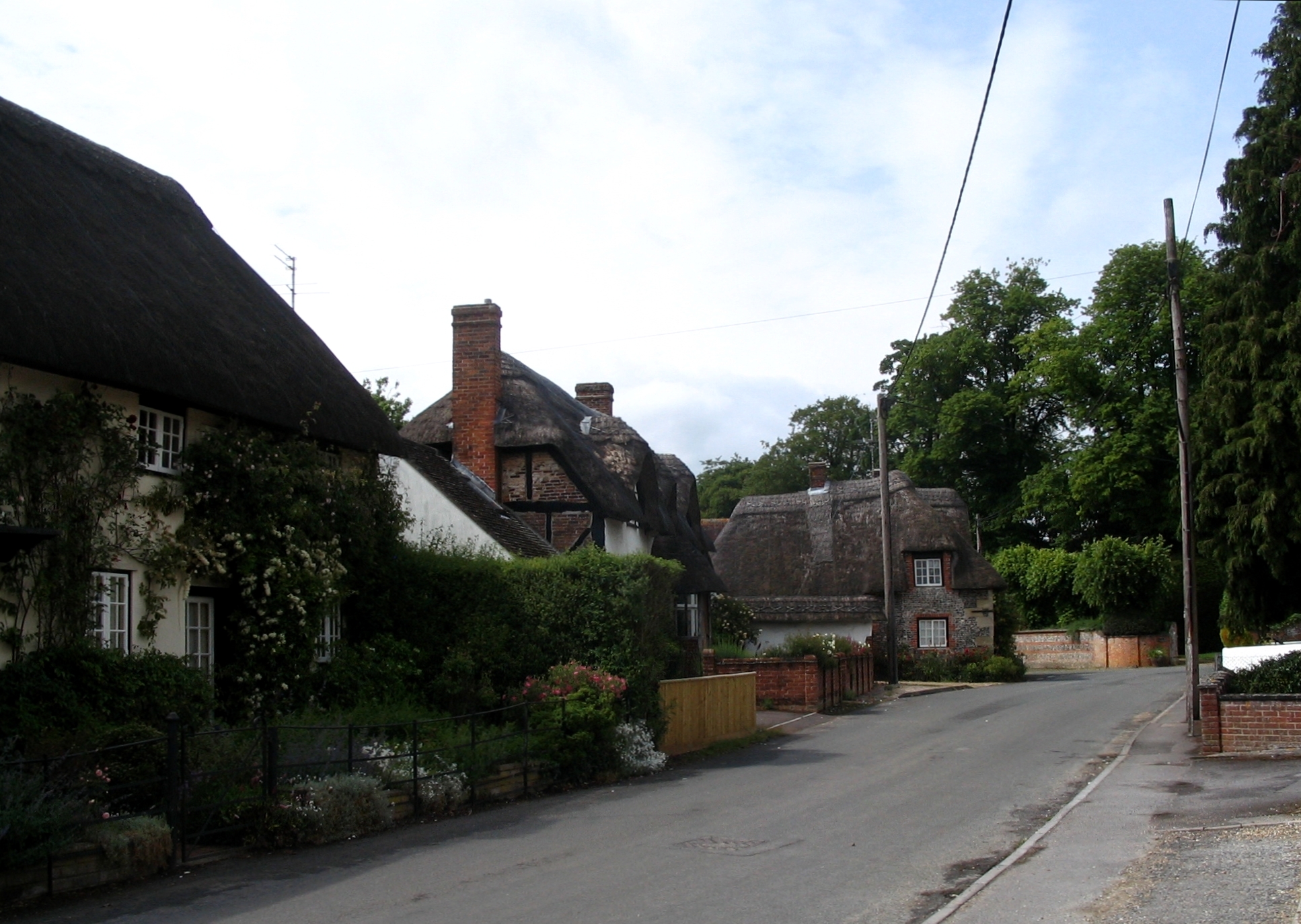
With a population of around 700, Alton exudes a close-knit community feel. The village is characterized by its quaint thatched cottages, well-tended gardens, and traditional architecture, which adds to its timeless appeal. The surrounding countryside is a haven for nature enthusiasts, with rolling hills, meandering streams, and abundant wildlife.
Alton boasts a rich history dating back centuries. The village is home to a Grade I listed church, St. Mary's, which dates back to the 12th century. This magnificent structure showcases impressive architectural features and serves as a focal point for the community. Additionally, Alton Barnes, a nearby hamlet, is renowned for its ancient hill figure, the Alton Barnes White Horse, which can be seen from miles around.
Despite its small size, Alton offers several amenities to cater to its residents' needs. These include a local pub, The Crown Inn, which serves delicious traditional fare and provides a welcoming atmosphere. The village also hosts a variety of community events throughout the year, such as fairs and festivals, bringing locals together and fostering a strong sense of community spirit.
Visitors to Alton can enjoy the numerous walking and cycling trails that crisscross the surrounding countryside, offering breathtaking views and opportunities for outdoor exploration. The village's proximity to other notable attractions, such as Stonehenge and Salisbury Cathedral, makes it an ideal base for those wishing to explore the wider region.
In summary, Alton is a picturesque village in Wiltshire that offers a tranquil and serene environment, rich history, and a strong sense of community. Its natural beauty and proximity to cultural landmarks make it a delightful destination for both residents and visitors alike.
If you have any feedback on the listing, please let us know in the comments section below.
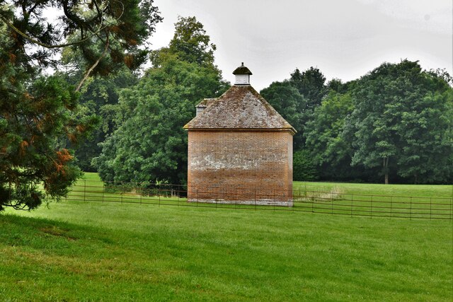
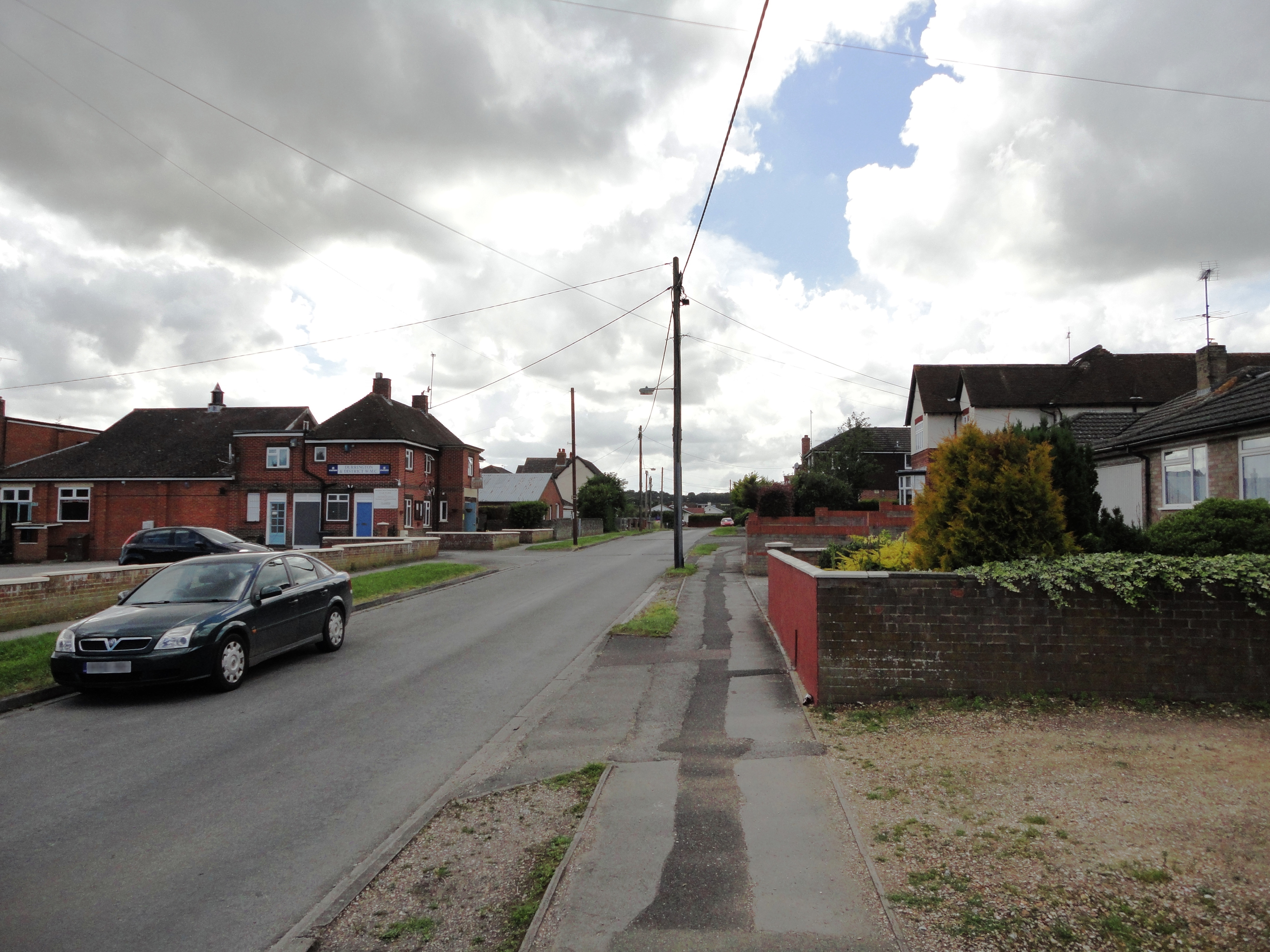
Alton Images
Images are sourced within 2km of 51.219422/-1.78347 or Grid Reference SU1546. Thanks to Geograph Open Source API. All images are credited.


Alton is located at Grid Ref: SU1546 (Lat: 51.219422, Lng: -1.78347)
Unitary Authority: Wiltshire
Police Authority: Wiltshire
What 3 Words
///touchy.alive.punters. Near Milston, Wiltshire
Nearby Locations
Related Wikis
Figheldean
Figheldean is a village and civil parish on the River Avon, 3+1⁄2 miles (6 km) north of Amesbury in Wiltshire, England. Figheldean parish extends 3 miles...

Ablington, Wiltshire
Ablington is a small village in the English county of Wiltshire, on the River Avon, close to the village of Figheldean and about 3.5 miles (5.6 km) north...

Barrow Clump
Barrow Clump is an archaeological site in Figheldean parish, Wiltshire, England, about 3+1⁄2 miles (5.6 km) north of the town of Amesbury. The site is...

All Saints' Church, Netheravon
The Church of All Saints is the Church of England parish church for the village of Netheravon, Wiltshire, England. A church has stood on this site near...

Milston
Milston is a hamlet and civil parish in Wiltshire, England, about 10 miles (16 km) north of Salisbury and separated from Durrington by the River Avon....

Netheravon
Netheravon is a village and civil parish on the River Avon and A345 road, about 4 miles (6.4 km) north of the town of Amesbury in Wiltshire, South West...

Avon Valley Academy
Avon Valley Academy is a mixed secondary school in Durrington, Wiltshire, England. Earlier in its history it has been known as Durrington Senior School...
Durrington, Wiltshire
Durrington is a village and civil parish in Wiltshire, England. The village lies about 2 miles (3.2 km) north of the town of Amesbury, 10 miles (16 km...
Nearby Amenities
Located within 500m of 51.219422,-1.78347Have you been to Alton?
Leave your review of Alton below (or comments, questions and feedback).