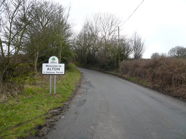
Alton

Settlement in Derbyshire North East Derbyshire

England

Alton

Footpath to Bole Hill Crossing a small tributary of Tricket Brook at the top of Hardwick Wood.
Footpath to Bole Hill Credit: Bill Boaden

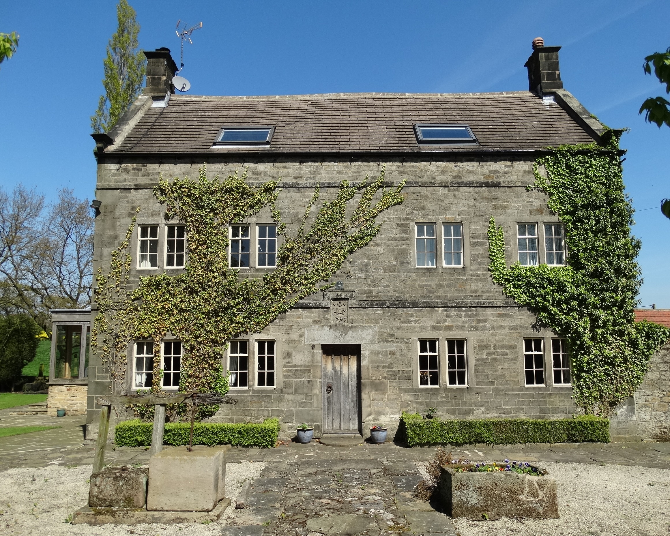
Alton is a small village located in the southern part of Derbyshire, England. Situated within the picturesque Churnet Valley, it lies approximately 10 miles east of the city of Stoke-on-Trent and 7 miles west of the town of Ashbourne. With a population of around 1,000 residents, Alton exudes a charming and tranquil atmosphere.

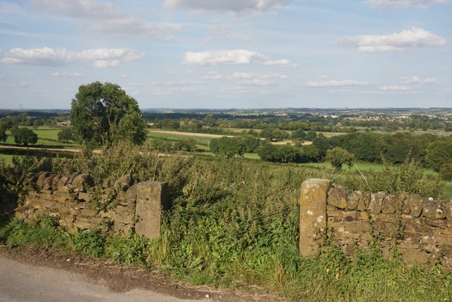
The village is renowned for its stunning natural beauty, surrounded by rolling hills, lush greenery, and the nearby River Churnet. The area offers a multitude of outdoor activities, including hiking, cycling, and fishing, attracting nature enthusiasts and tourists alike. The iconic Alton Towers theme park is also situated nearby, providing an additional draw for visitors.

Alton boasts a rich history, with its origins dating back to the medieval period. The village is home to the impressive Alton Castle, a Grade II listed building, which stands proudly atop a hill overlooking the village. Originally constructed in the 19th century as a Gothic Revival mansion, the castle now serves as a residential retreat center.

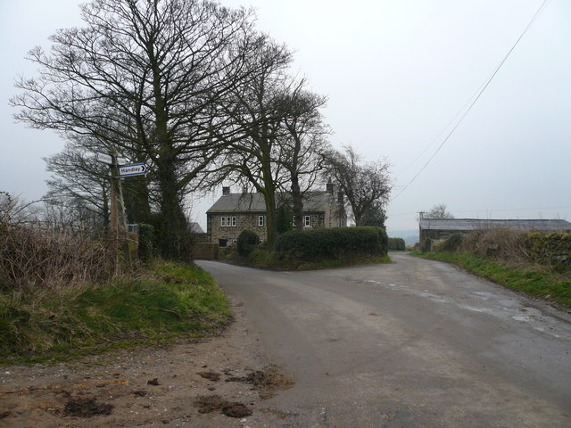
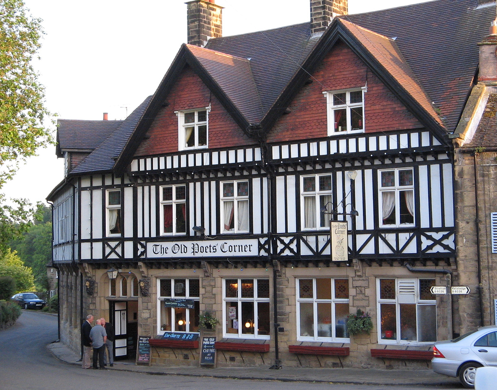
In terms of amenities, Alton offers a range of facilities to cater to its residents and visitors. These include a primary school, village hall, post office, and a selection of charming local pubs and restaurants. The village is well-connected, with regular bus services linking it to neighboring towns and cities.

Overall, Alton's idyllic setting, rich heritage, and range of recreational opportunities make it a desirable destination for those seeking a peaceful escape or a taste of the English countryside.

If you have any feedback on the listing, please let us know in the comments section below.
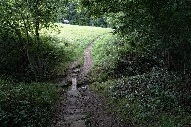
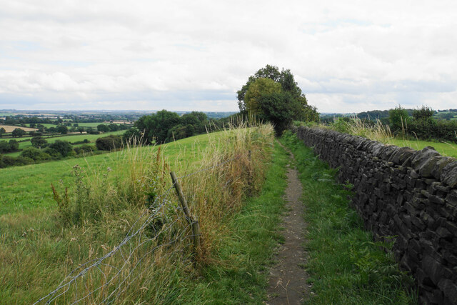
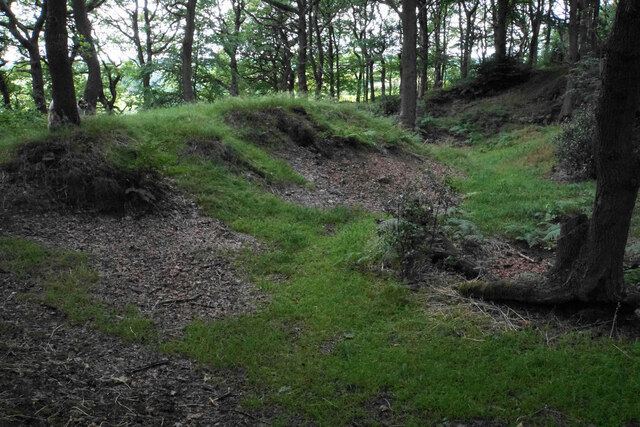
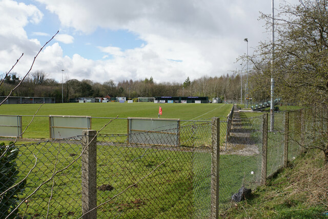
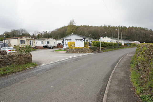
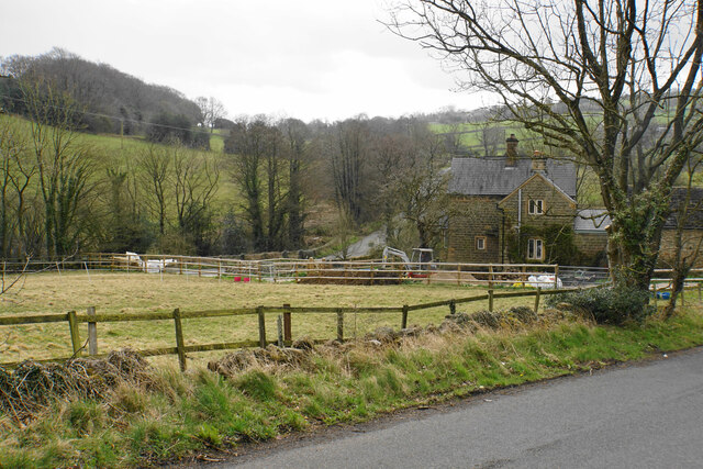
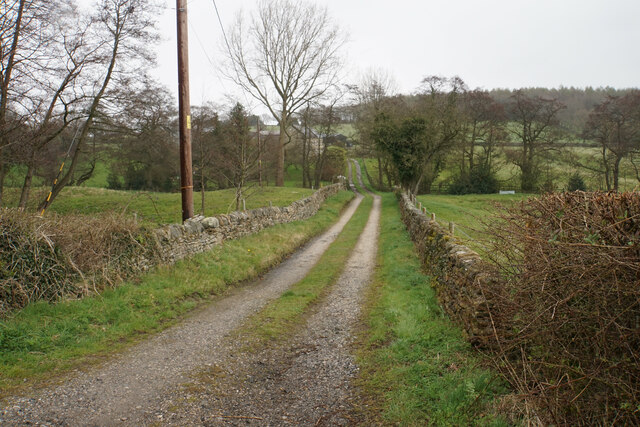
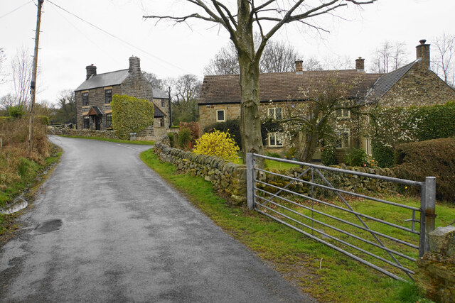
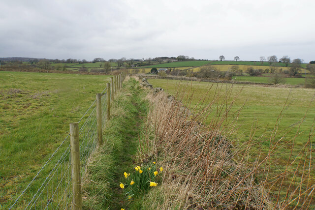
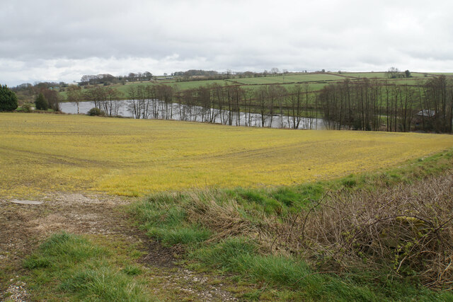
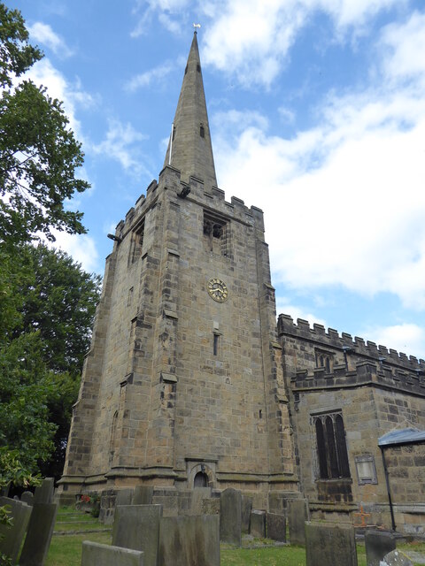
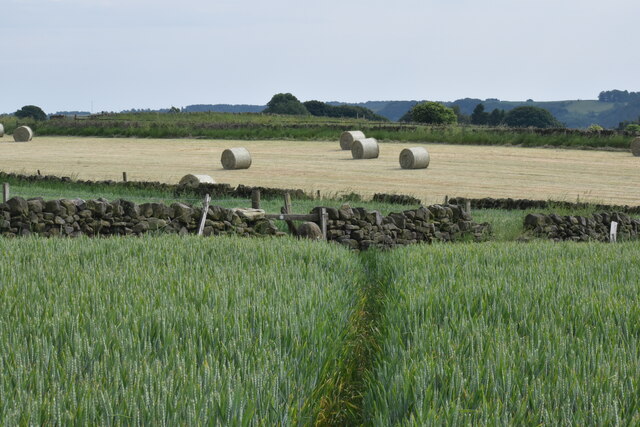
Alton Images

Images are sourced within 2km of 53.174121/-1.460623 or Grid Reference SK3664. Thanks to Geograph Open Source API. All images are credited.

Footpath to Bole Hill Crossing a small tributary of Tricket Brook at the top of Hardwick Wood.
Footpath to Bole Hill
Crossing a small tributary of Tricket Brook at the top of Hardwick Wood.
Footpath on the Bole Hill ridge Slowly descending towards Clay Cross.
Footpath on the Bole Hill ridge
Slowly descending towards Clay Cross.
Remains of former quarrying on Bole Hill Small scale activity as opposed to the bigger quarry further down the hill.
Remains of former quarrying on Bole Hill
Small scale activity as opposed to the bigger quarry further down the hill.
Football ground of Clay Cross Town FC The necessary requirement for sponsorship means that the ground is called the We Do More Than Print Ground, and the stand opposite is the Geoff Allen Pallets Stand.
Football ground of Clay Cross Town FC
The necessary requirement for sponsorship means that the ground is called the We Do More Than Print Ground, and the stand opposite is the Geoff Allen Pallets Stand.
Holmgate Evangelical Church Right on the edge of Clay Cross, the church is affiliated to the FIEC.
Holmgate Evangelical Church
Right on the edge of Clay Cross, the church is affiliated to the FIEC.
Coupe Lane The road marks the upper edge of the Holmgate housing estate.
Coupe Lane
The road marks the upper edge of the Holmgate housing estate.
Valley Road Allotments A site administered by Clay Cross Parish Council.
Valley Road Allotments
A site administered by Clay Cross Parish Council.
The Old Steam Mill Part of a collection of buildings around Woodthorpe. Most are now residential including holiday apartments. Press Brook flows past the mill building.
The Old Steam Mill
Part of a collection of buildings around Woodthorpe. Most are now residential including holiday apartments. Press Brook flows past the mill building.
Footpath to Woodthorpe Grange The farm is seen ahead.
Footpath to Woodthorpe Grange
The farm is seen ahead.
Brookfield Park A residential park of private park homes.
Brookfield Park
A residential park of private park homes.
Broomy Farm At the foot of the hills leading up to Alton.
Broomy Farm
At the foot of the hills leading up to Alton.
Track to Press Lane Farm Off Press Lane, with Press Brook flowing in the dip ahead.
Track to Press Lane Farm
Off Press Lane, with Press Brook flowing in the dip ahead.
Cottages on Press Lane On the climb up to Northedge.
Cottages on Press Lane
On the climb up to Northedge.
Footpath to Birkin Lane Heading north from Northedge. Stone Edge is far left.
Footpath to Birkin Lane
Heading north from Northedge. Stone Edge is far left.
Field below Birkinlane Farm Looking down on the Upper Press Reservoir. I am not sure why the grass in this field is an unnatural yellow colour, but it may be the effect of weedkiller.
Field below Birkinlane Farm
Looking down on the Upper Press Reservoir. I am not sure why the grass in this field is an unnatural yellow colour, but it may be the effect of weedkiller.
Ashover, All Saints
Ashover, All Saints
Footpath to Ashover Crossing a high plateau of arable land.
Footpath to Ashover
Crossing a high plateau of arable land.
Redundant field entrance opposite Woodhead Farm The field appears to have lain fallow for some time. There is a view beyond to the catchment area of the River Rother.
Redundant field entrance opposite Woodhead Farm
The field appears to have lain fallow for some time. There is a view beyond to the catchment area of the River Rother.
Show me another place!

Alton is located at Grid Ref: SK3664 (Lat: 53.174121, Lng: -1.460623)

Administrative County: Derbyshire

District: North East Derbyshire

Police Authority: Derbyshire

What 3 Words

///magically.bounty.scoots. Near Wingerworth, Derbyshire

Nearby Locations

Alton

Related Wikis

Alton, Derbyshire

Alton is a very small village in Derbyshire, England. Alton is in the civil parish of Ashover, and is around 2 miles away from Clay Cross although it is...

Littlemoor, Derbyshire

Littlemoor is a small village near the town of Chesterfield. Its population is around 100. It is the closest village to Ashover Rock (otherwise known...

Rattle, Derbyshire

Rattle is a hamlet in the English county of Derbyshire. It is part of the village of Ashover. This portion of the village was the centre of stocking...

Ashover

Ashover is a village and civil parish in the English county of Derbyshire. It is in the North East Derbyshire district of the county. The population of...

All Saints' Church, Ashover

All Saints’ Church, Ashover is a Grade I listed parish church in the Church of England in Ashover, Derbyshire. == History == The porch of the church dates...
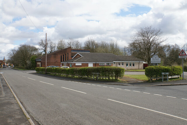
Holmgate

Holmgate is a hamlet and nearby housing estate between Clay Cross (where the population can be found) and Ashover, in the district of North East Derbyshire...

Clay Cross Town F.C.

Clay Cross Town Football Club is an English football club based in Clay Cross, Derbyshire. The club plays in the Northern Counties East League Division...

Salter Lane railway station

Salter Lane railway station co-served the village of Ashover, Derbyshire, England, from 1925 to 1936 on the Ashover Light Railway. == History == The station...

Nearby Amenities

Located within 500m of 53.174121,-1.460623
Alton
Is In: Derbyshire, England, UK
Place: village
Wikidata: Q602321
Wikipedia: en:Alton, Derbyshire
Lat/Long: 53.173594/-1.4591723
Barrier: stile
Steps: 1
Stile: stepover
Lat/Long: 53.1717356/-1.4548495
Post Box
Collection Times: Mo-Fr 09:00; Sa 07:00
Ele: 251.5086670
Post Box Type: lamp
Ref: S42 203D
Royal Cypher: EIIR
Royal Cypher Wikidata: Q33102113
Lat/Long: 53.1749771/-1.4615927
Ele: 238.7713623
Lat/Long: 53.1760611/-1.4593337
Ele: 239.7326660
Lat/Long: 53.1754187/-1.4595
Ele: 240.4537354
Lat/Long: 53.1746997/-1.4595878
Ele: 213.5369873
Lat/Long: 53.1778418/-1.4576543
Barrier: stile
Ele: 215.9401855
Stile: squeezer
Lat/Long: 53.1778354/-1.4576857
Ele: 216.4207764
Lat/Long: 53.1777882/-1.4577274
Barrier: stile
Ele: 228.6776123
Stile: squeezer
Lat/Long: 53.1768024/-1.4584603
Bench
Lat/Long: 53.1743021/-1.4588868
Passing Place
Lat/Long: 53.1744859/-1.4583066
Defibrillator
Access: yes
Booth: K6
Check Date: 2023-03-09
Covered: booth
Defibrillator Location: In red telephone box, Alton.
Disused Amenity: telephone
Emergency: defibrillator
Indoor: no
Man Made: telephone_box
Opening Hours: 24/7
Lat/Long: 53.174329/-1.4589308
Generator Method: photovoltaic
Generator Output Electricity: yes
Generator Source: solar
Generator Type: solar_photovoltaic_panel
Location: roof
Power: generator
Lat/Long: 53.1752333/-1.462386
Generator Method: photovoltaic
Generator Output Electricity: yes
Generator Source: solar
Generator Type: solar_photovoltaic_panel
Location: roof
Power: generator
Lat/Long: 53.1752204/-1.4623337
Generator Method: photovoltaic
Generator Output Electricity: yes
Generator Source: solar
Generator Type: solar_photovoltaic_panel
Location: roof
Power: generator
Lat/Long: 53.1735629/-1.4588106
Generator Method: photovoltaic
Generator Output Electricity: yes
Generator Source: solar
Generator Type: solar_photovoltaic_panel
Location: roof
Power: generator
Lat/Long: 53.1735895/-1.4587663
Generator Method: photovoltaic
Generator Output Electricity: yes
Generator Source: solar
Generator Type: solar_photovoltaic_panel
Location: roof
Power: generator
Lat/Long: 53.1722615/-1.4576197
Generator Method: photovoltaic
Generator Output Electricity: yes
Generator Source: solar
Generator Type: solar_photovoltaic_panel
Location: roof
Power: generator
Lat/Long: 53.1723266/-1.4575821
Generator Method: photovoltaic
Generator Output Electricity: yes
Generator Source: solar
Generator Type: solar_photovoltaic_panel
Location: roof
Power: generator
Lat/Long: 53.1722784/-1.457727
Generator Method: photovoltaic
Generator Output Electricity: yes
Generator Source: solar
Generator Type: solar_photovoltaic_panel
Location: roof
Power: generator
Lat/Long: 53.1733588/-1.4590278
Generator Method: photovoltaic
Generator Output Electricity: yes
Generator Source: solar
Generator Type: solar_photovoltaic_panel
Location: roof
Power: generator
Lat/Long: 53.1733523/-1.4592236
The data included in this document is from www.openstreetmap.org. The data is made available under ODbL.

Have you been to Alton?

Leave your review of Alton below (or comments, questions and feedback).