Alton
Settlement in Staffordshire Staffordshire Moorlands
England
Alton
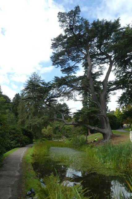
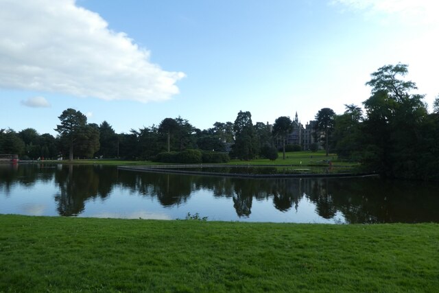
Alton is a charming village located in the county of Staffordshire, England. Situated on the eastern edge of the picturesque Churnet Valley, it is surrounded by rolling hills and lush greenery, making it a popular destination for nature enthusiasts and outdoor lovers.
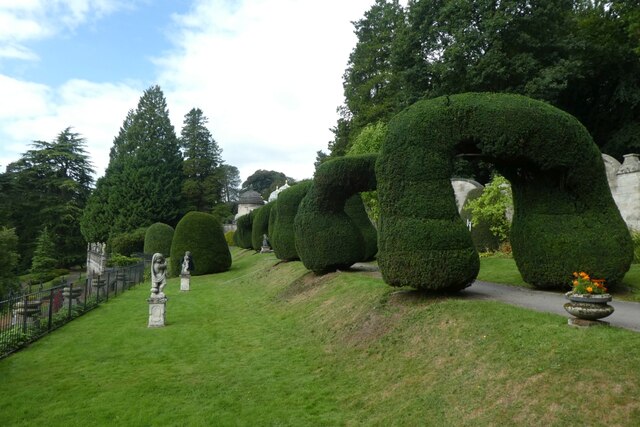
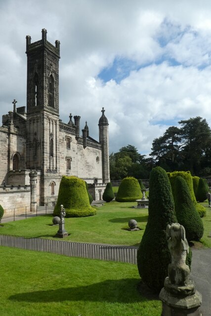
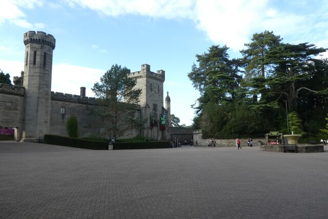
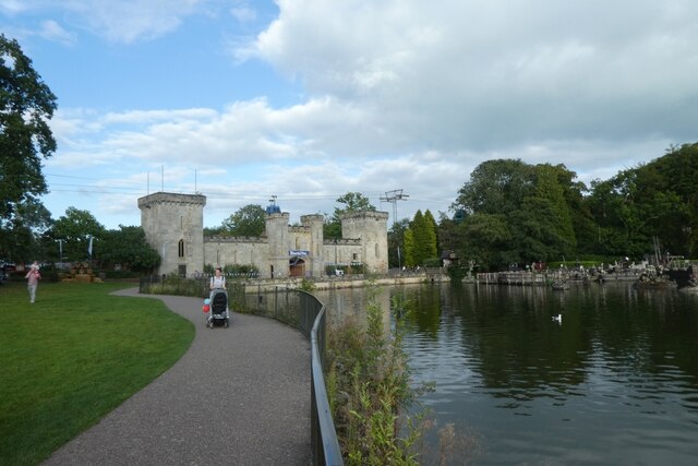
With a population of around 1,500 residents, Alton offers a peaceful and close-knit community atmosphere. The village boasts a rich history, dating back to medieval times when it was a prominent market town. Evidence of its past can be seen in the historic Alton Castle, a Gothic Revival mansion built in the mid-19th century.
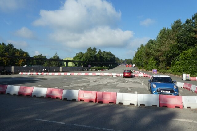
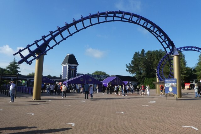
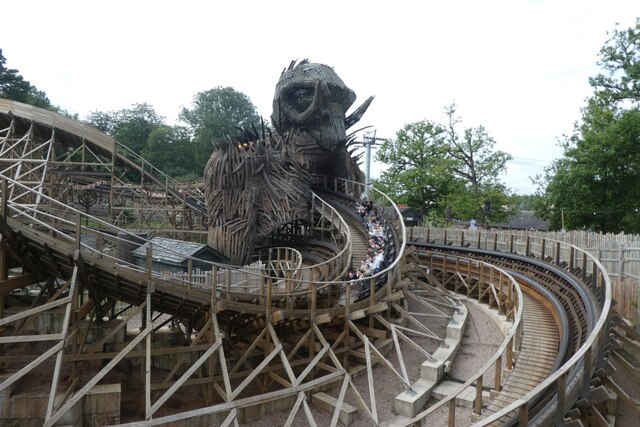
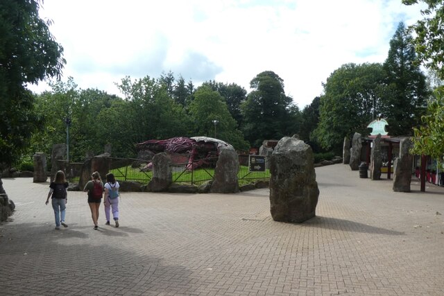
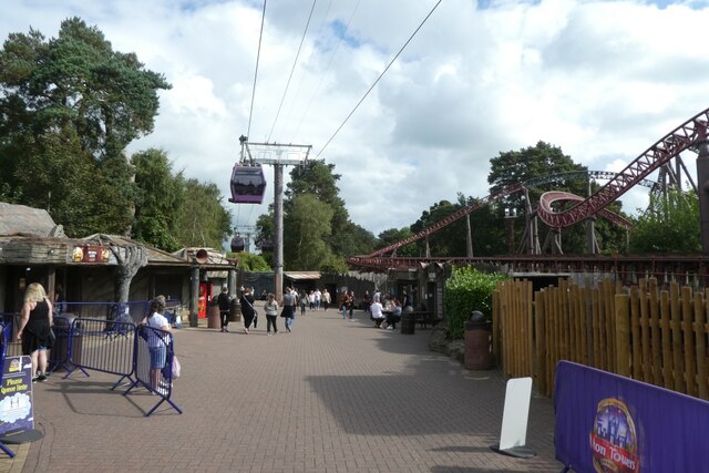
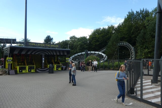
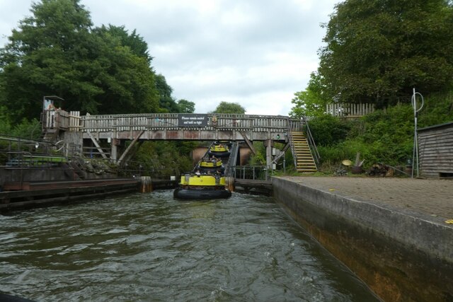
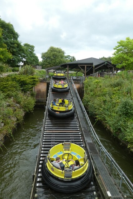
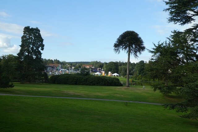
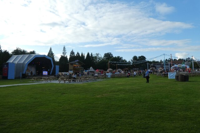
Alton is perhaps best known for its close proximity to Alton Towers, one of the UK's largest and most popular theme parks. Drawing millions of visitors each year, the park offers a wide range of thrilling rides, attractions, and entertainment options for all ages.
In addition to its natural beauty and tourist attractions, Alton is home to several amenities and services. It has a few local shops, a village hall, a primary school, and a church, providing essential resources for its residents.
The village also benefits from excellent transport links, with easy access to nearby towns and cities. The A50 road runs close by, connecting Alton to Stoke-on-Trent, Uttoxeter, and the wider motorway network.
Overall, Alton's combination of stunning landscapes, historical significance, and proximity to notable attractions make it an appealing destination for both residents and visitors alike.
If you have any feedback on the listing, please let us know in the comments section below.
Alton Images
Images are sourced within 2km of 52.977299/-1.8932534 or Grid Reference SK0742. Thanks to Geograph Open Source API. All images are credited.


Alton is located at Grid Ref: SK0742 (Lat: 52.977299, Lng: -1.8932534)
Administrative County: Staffordshire
District: Staffordshire Moorlands
Police Authority: Staffordshire
What 3 Words
///drifter.optimally.topping. Near Cheadle, Staffordshire
Nearby Locations
Related Wikis
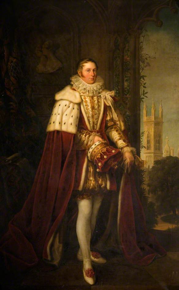
John Talbot, 16th Earl of Shrewsbury
John Talbot, 16th Earl of Shrewsbury, 16th Earl of Waterford (18 March 1791 – 9 November 1852) was a British peer and aristocrat. Sometimes known as "Good...

Alton, Staffordshire
Alton (UK: OL-tən) is a village in Staffordshire, England. It is noted for the theme park Alton Towers, built around the site of Alton Mansion, which...

Alton Castle
Alton Castle is a Gothic-revival castle, on a hill above the Churnet Valley, in the village of Alton, Staffordshire, England. The site has been fortified...

Farley, Staffordshire
Farley is a hamlet and civil parish in the Staffordshire Moorlands district, in the English county of Staffordshire. It is near to the villages of Alton...

Alton Towers railway station
Alton railway station is a former railway station in Staffordshire. Opened in 1849 by the North Staffordshire Railway and called Alton, the station was...

Twirling Toadstool
Twirling Toadstool (previously known as Wave Swinger and Ug Swinger) was a ride at the British theme park Alton Towers. The ride was made up of 48 hanging...

Thirteen (roller coaster)
Thirteen (officially stylised as TH13TEEN) is a steel roller coaster/ Haunted attraction/ Drop tower at Alton Towers in England. The ride was constructed...

Corkscrew (Alton Towers)
Corkscrew was a steel roller coaster located at Alton Towers theme park, near Alton in the English shire county of Staffordshire, United Kingdom. Corkscrew...
Nearby Amenities
Located within 500m of 52.977299,-1.8932534Have you been to Alton?
Leave your review of Alton below (or comments, questions and feedback).