Altofts
Settlement in Yorkshire
England
Altofts

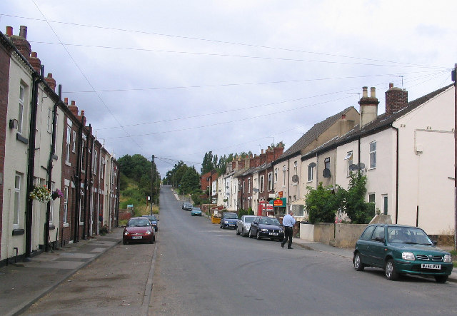
Altofts is a small village located in West Yorkshire, England. Situated approximately 8 miles southeast of the city of Leeds, it falls under the local authority of Wakefield. With a population of around 4,000 residents, Altofts retains a close-knit community feel.
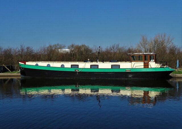
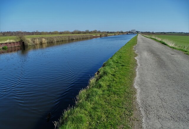
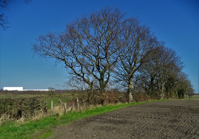
The village is known for its picturesque surroundings, surrounded by rolling countryside and dotted with charming cottages. It sits alongside the Aire and Calder Navigation, providing residents with scenic walks and opportunities for boating and fishing. The nearby Newland Nature Reserve is a popular spot for wildlife enthusiasts, offering a diverse range of flora and fauna.
Altofts boasts a range of amenities to cater to its residents. It has a primary school, a community center, a library, and a post office, ensuring convenient access to essential services. There are also several pubs and local shops, enhancing the village's sense of community.
Transport links are well-established in Altofts, with regular bus services connecting the village to neighboring towns and cities. The nearby M62 motorway allows for easy access to Leeds, Wakefield, and further afield.
Historically, Altofts was a mining community, with deep coal mines providing employment for many residents. Although the mines have closed, the village still retains elements of its industrial past, with the preserved Pit Hill Railway winding through the area.
Overall, Altofts offers a peaceful and picturesque setting, with a strong community spirit, making it an attractive place to live for those seeking a quieter village lifestyle within easy reach of larger urban centers.
If you have any feedback on the listing, please let us know in the comments section below.
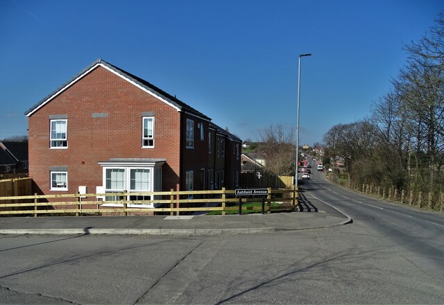
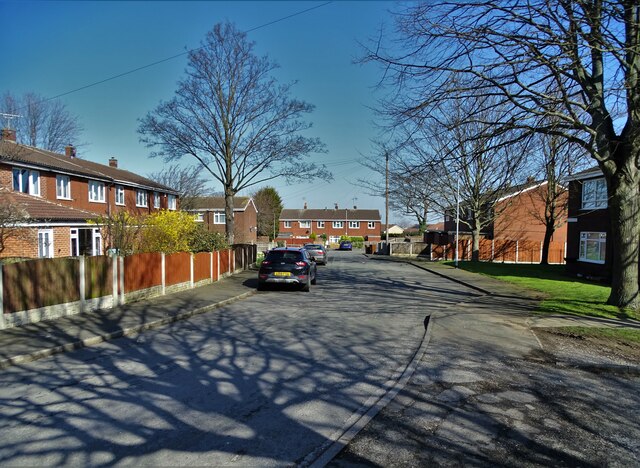
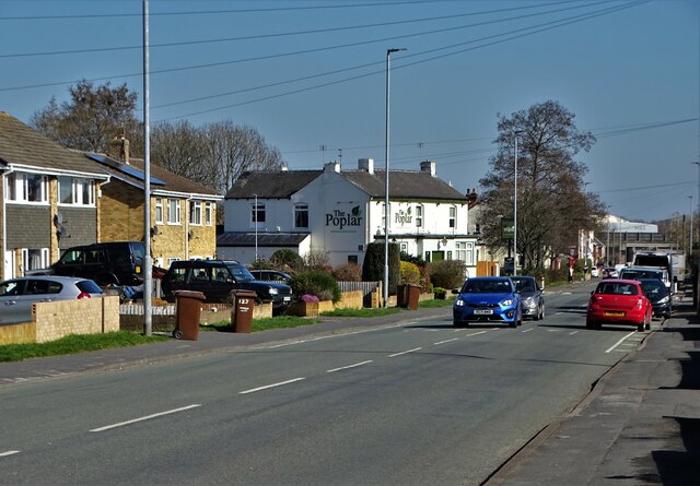
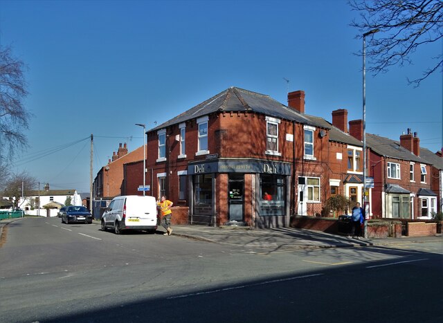
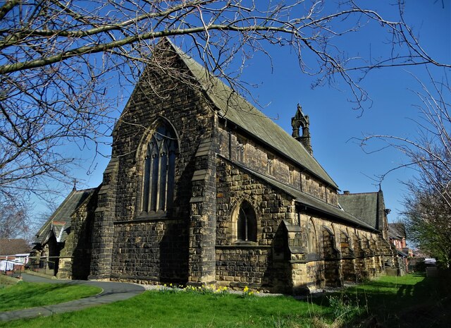
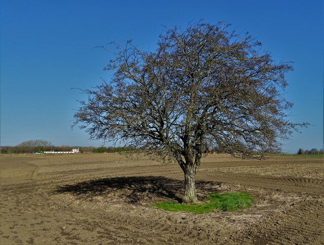
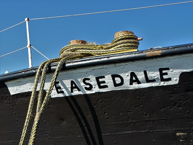
Altofts Images
Images are sourced within 2km of 53.708581/-1.438055 or Grid Reference SE3723. Thanks to Geograph Open Source API. All images are credited.


Altofts is located at Grid Ref: SE3723 (Lat: 53.708581, Lng: -1.438055)
Division: West Riding
Unitary Authority: Wakefield
Police Authority: West Yorkshire
What 3 Words
///prefix.eyepieces.initiated. Near Normanton, West Yorkshire
Nearby Locations
Related Wikis

Newland with Woodhouse Moor
Newland with Woodhouse Moor is a civil parish in the City of Wakefield in West Yorkshire, England, consisting of some open countryside west of Normanton...
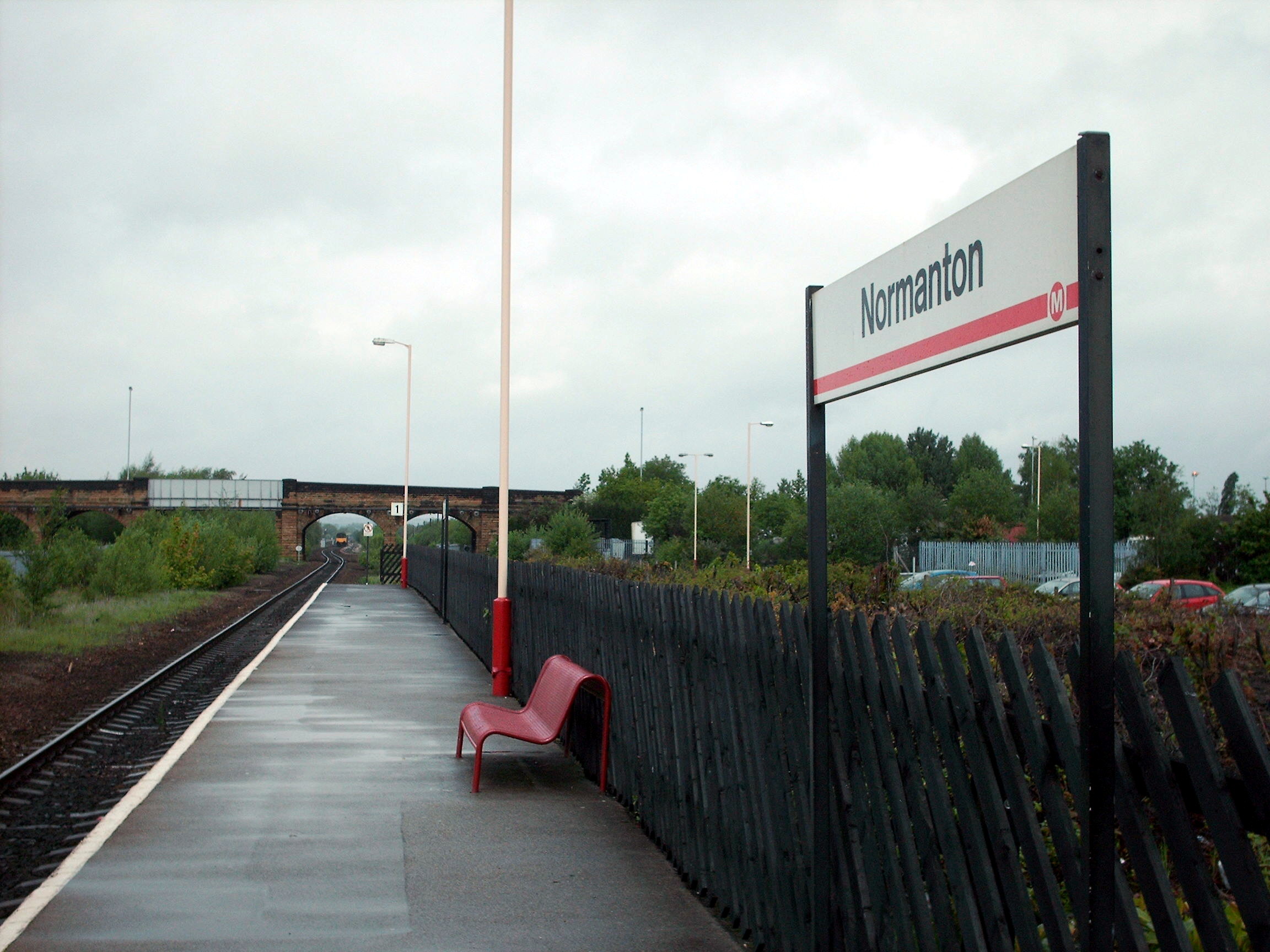
Normanton railway station
Normanton railway station serves the town of Normanton in West Yorkshire, England. It lies 11 miles (18 km) south-east of Leeds railway station on the...
Bottom Boat
Bottom Boat is a village in the Wakefield district of West Yorkshire. In the 2011 United Kingdom census, its population was 1,169, and it was included...
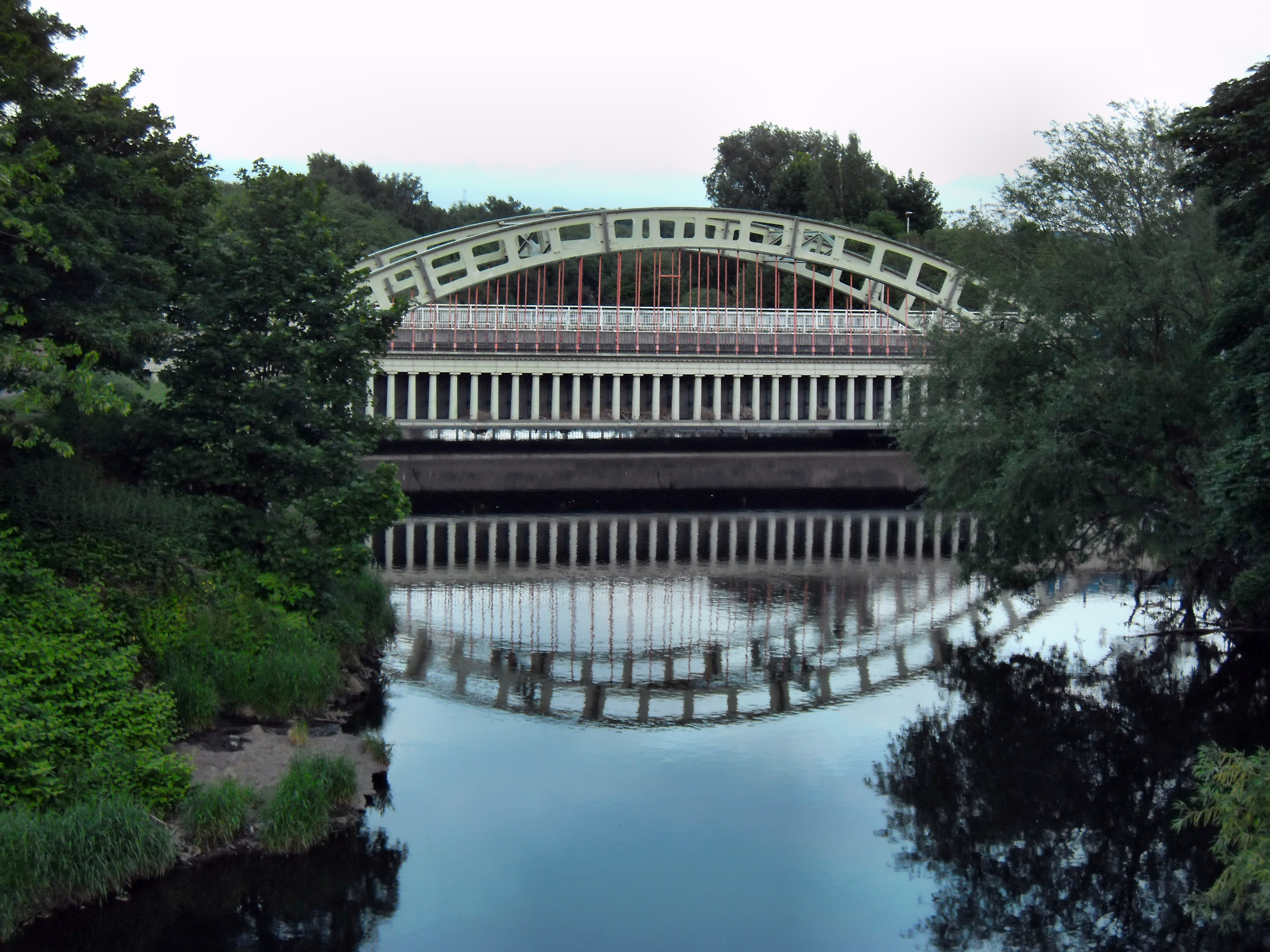
Stanley Ferry Aqueduct
Stanley Ferry Aqueduct was built between 1836 and 1839 to take the Aire and Calder Navigation over the River Calder in West Yorkshire, England. It is one...

Normanton (UK Parliament constituency)
Normanton was a county constituency represented in the House of Commons of the Parliament of the United Kingdom. It elected one Member of Parliament (MP...
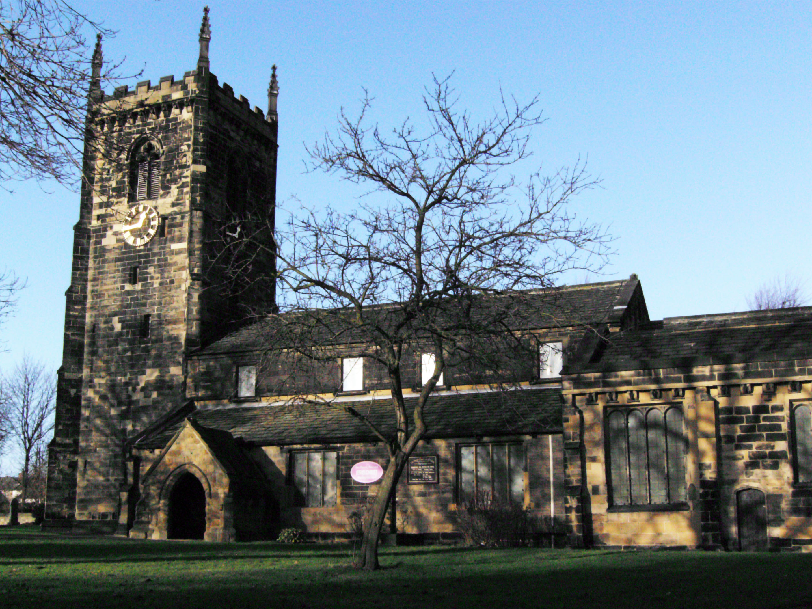
All Saints' Church, Normanton
All Saints' Church is the parish church in Normanton, West Yorkshire, England. == History == The current church is believed to have existed since at least...

Normanton (electoral ward)
Normanton is an electoral ward of the City of Wakefield district used for elections to Wakefield Metropolitan District Council. == Overview == The ward...

Altofts
Altofts is a village in West Yorkshire, England. It lies 5 miles (8 km) north-east from the centre of Wakefield and less than 1 mile (1.6 km) north-west...
Nearby Amenities
Located within 500m of 53.708581,-1.438055Have you been to Altofts?
Leave your review of Altofts below (or comments, questions and feedback).