Bodfari
Community in Flintshire
Wales
Bodfari

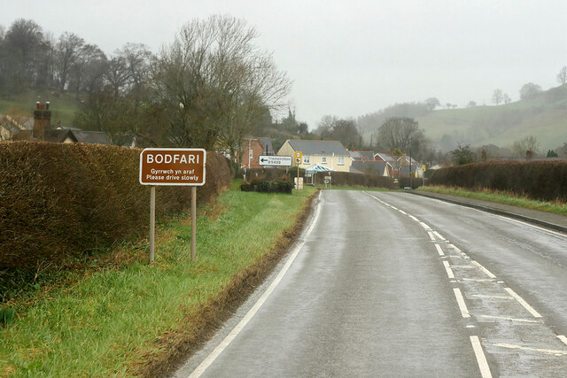
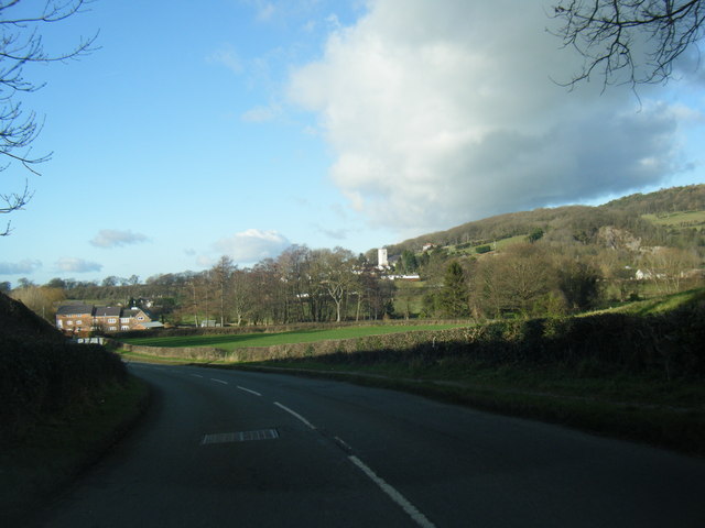
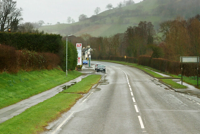
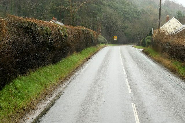
Bodfari is a small community located in Flintshire, North Wales. Situated approximately 10 miles south of the town of Denbigh, it falls within the Clwydian Range Area of Outstanding Natural Beauty. The village is nestled in a picturesque rural setting, surrounded by rolling hills and farmland.
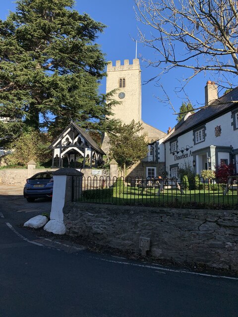
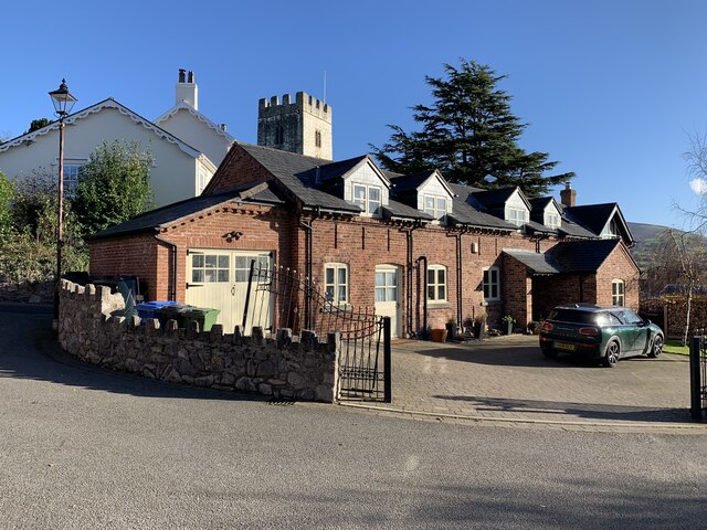
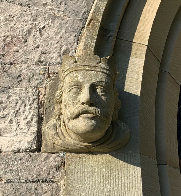
The community of Bodfari is home to a population of around 500 residents. The village itself has a quaint charm, with traditional stone-built cottages and a historic church, St. Stephen's. The church dates back to the 14th century and is a prominent landmark in the area.
Despite its small size, Bodfari boasts several amenities for its residents and visitors. There is a primary school, Ysgol Bodfari, which provides education to local children. The village also has a community hall that serves as a hub for various social events and activities.
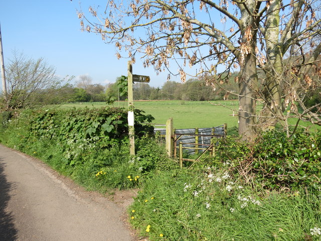
The surrounding countryside offers numerous opportunities for outdoor pursuits such as hiking, cycling, and horseback riding. The nearby Clwydian Range is renowned for its stunning landscapes and is a popular destination for nature lovers and walkers.
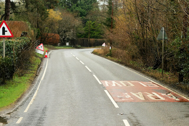
Bodfari is well-connected to other towns and cities in the region, with easy access to the A55 North Wales Expressway. This makes it a convenient location for those commuting to work or exploring the wider area.
Overall, Bodfari is a tranquil and close-knit community that offers a peaceful rural lifestyle amidst beautiful natural surroundings.
If you have any feedback on the listing, please let us know in the comments section below.
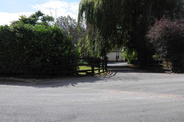
Bodfari Images
Images are sourced within 2km of 53.227837/-3.360756 or Grid Reference SJ0970. Thanks to Geograph Open Source API. All images are credited.


Bodfari is located at Grid Ref: SJ0970 (Lat: 53.227837, Lng: -3.360756)
Unitary Authority: Denbighshire
Police Authority: North Wales
What 3 Words
///tigers.mailings.elevate. Near Trefnant, Denbighshire
Nearby Locations
Related Wikis

Moel y Gaer, Bodfari
Moel y Gaer (Welsh for "bald hill of the fortress") is an Iron Age hillfort at the northern end of the Clwydian Range, located on a summit overlooking...

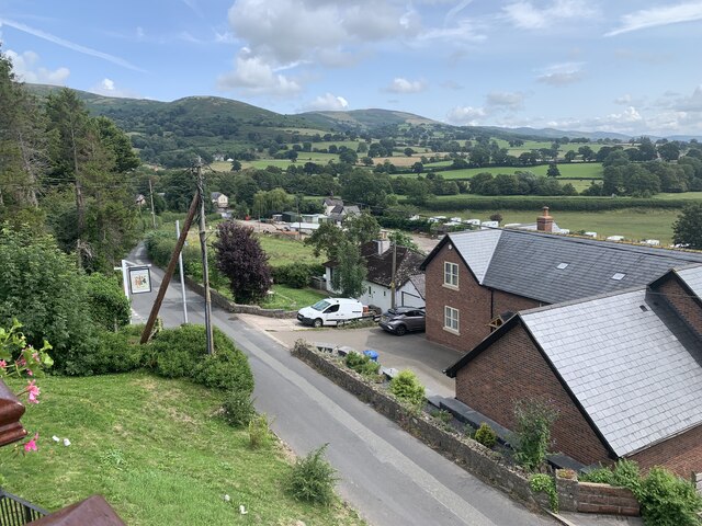
Bodfari
Bodfari is a village and community in Denbighshire, Wales. Until the local government reorganisation of 1974, Bodfari was in the historic county of Flintshire...
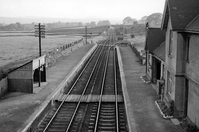
Bodfari railway station
Bodfari railway station was opened on 6 September 1869 by the Mold and Denbigh Junction Railway. Following the Railways Act 1921 the line became part of...
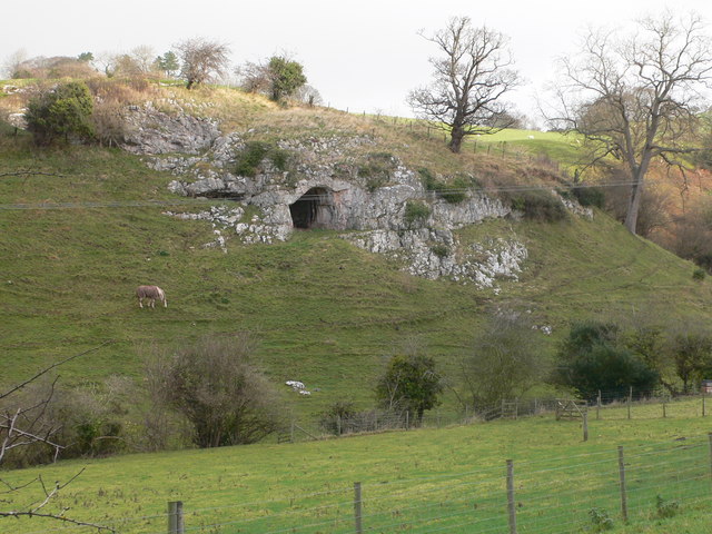
Ffynnon Beuno and Cae Gwyn Caves
Ffynnon Beuno and Cae Gwyn Caves are two Scheduled Ancient Monuments, in Denbighshire, Wales, which are also designated a Site of Special Scientific Interest...
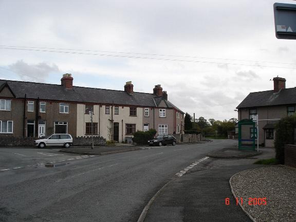
Aberwheeler
Aberwheeler (Welsh: Aberchwiler) is a village and community in the Welsh county of Denbighshire, located on the south bank of the River Wheeler (Welsh...
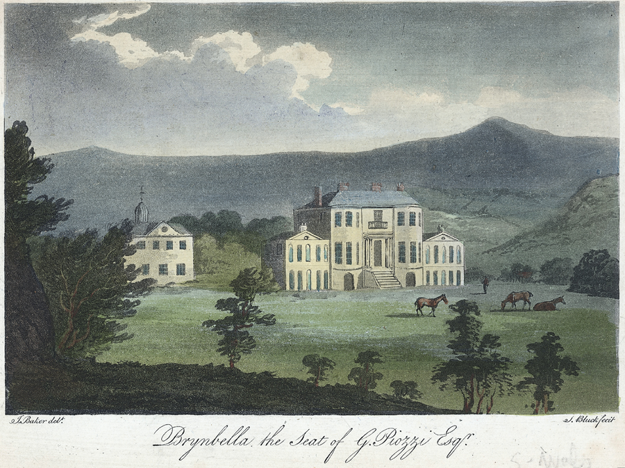
Brynbella
Brynbella is a neoclassical villa built near the village of Tremeirchion in Denbighshire, northeast Wales, by Hester Piozzi and her husband, Gabriel Piozzi...

River Wheeler
The River Wheeler (Welsh: Afon Chwiler) is a tributary of the River Clwyd in north-east Wales. Rising on the east side of the Clwydian Range, it is a...

Tremeirchion
Tremeirchion (previously known as Lleweni) is a small residential community in Denbighshire, Wales. It lies on the B5429 road, to the north east of Denbigh...
Nearby Amenities
Located within 500m of 53.227837,-3.360756Have you been to Bodfari?
Leave your review of Bodfari below (or comments, questions and feedback).