Coed Moel-y-gaer
Wood, Forest in Flintshire
Wales
Coed Moel-y-gaer

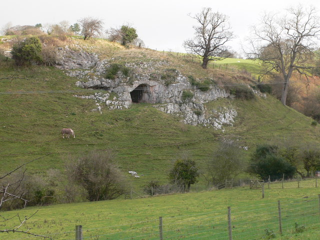
Coed Moel-y-gaer, located in Flintshire, Wales, is a captivating woodland area renowned for its natural beauty and historical significance. The name "Coed Moel-y-gaer" translates to "Wood of the Bare Hillfort," which reflects its unique setting atop a hill overlooking the surrounding landscape.
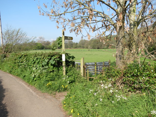
This ancient woodland covers an area of approximately 35 hectares and is dominated by a mix of deciduous and coniferous trees, including oak, beech, birch, and spruce. The diverse range of vegetation provides a habitat for an array of flora and fauna, making it an ideal spot for nature enthusiasts and wildlife lovers.
One of the prominent features of Coed Moel-y-gaer is its connection to the Iron Age hillfort, which dates back over 2,000 years. The hillfort's ramparts and ditches can still be seen today, offering visitors a glimpse into the region's rich historical past. It is believed that this hillfort served as a defensive settlement during ancient times.
Additionally, the woodland features a network of well-maintained footpaths and trails, allowing visitors to explore the area at their own pace. The paths wind through the trees, offering scenic vistas and opportunities for tranquil walks or energetic hikes.
Coed Moel-y-gaer is a popular destination for outdoor activities such as picnicking, birdwatching, and photography. It also serves as an important educational site, with guided tours and interpretation boards providing valuable insights into the woodland's ecology and history.
Overall, Coed Moel-y-gaer in Flintshire is a captivating wood and forest that offers a unique blend of natural beauty and historical significance, making it a must-visit destination for nature and history enthusiasts alike.
If you have any feedback on the listing, please let us know in the comments section below.
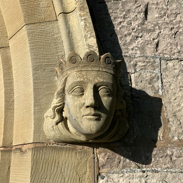
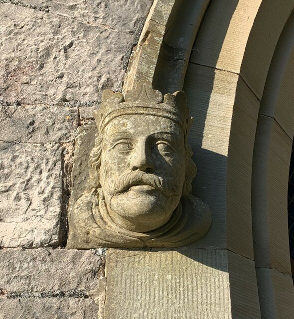
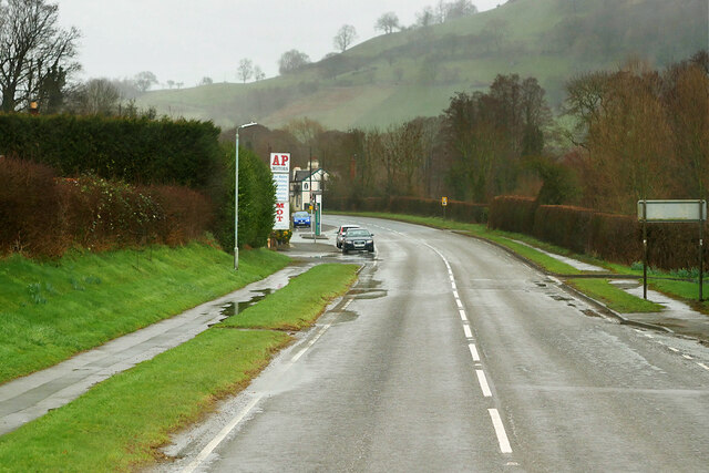
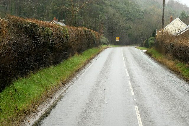
Coed Moel-y-gaer Images
Images are sourced within 2km of 53.225502/-3.3584001 or Grid Reference SJ0970. Thanks to Geograph Open Source API. All images are credited.


Coed Moel-y-gaer is located at Grid Ref: SJ0970 (Lat: 53.225502, Lng: -3.3584001)
Unitary Authority: Denbighshire
Police Authority: North Wales
What 3 Words
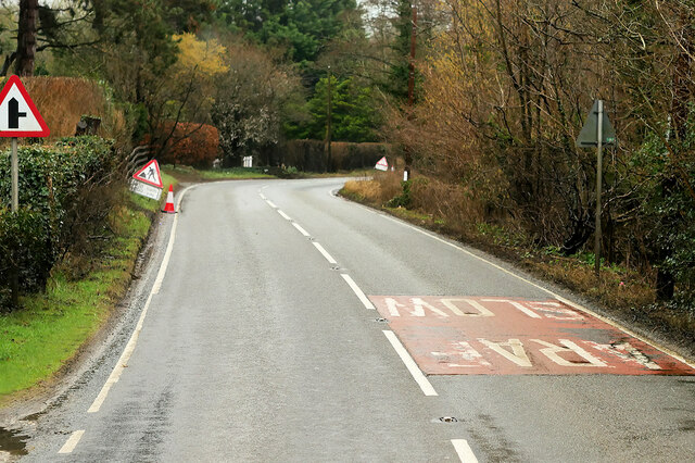
///widen.prank.compelled. Near Trefnant, Denbighshire
Nearby Locations
Related Wikis

Moel y Gaer, Bodfari
Moel y Gaer (Welsh for "bald hill of the fortress") is an Iron Age hillfort at the northern end of the Clwydian Range, located on a summit overlooking...

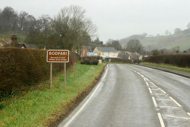
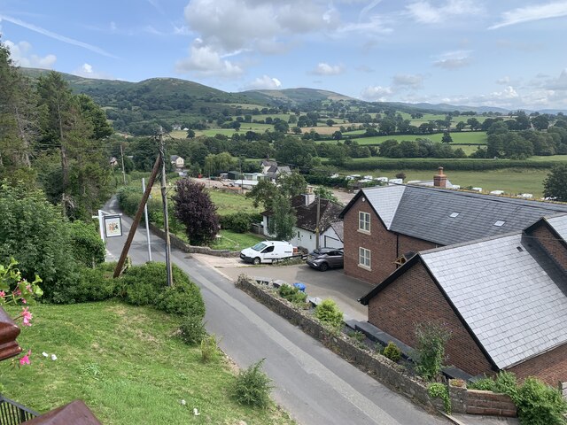
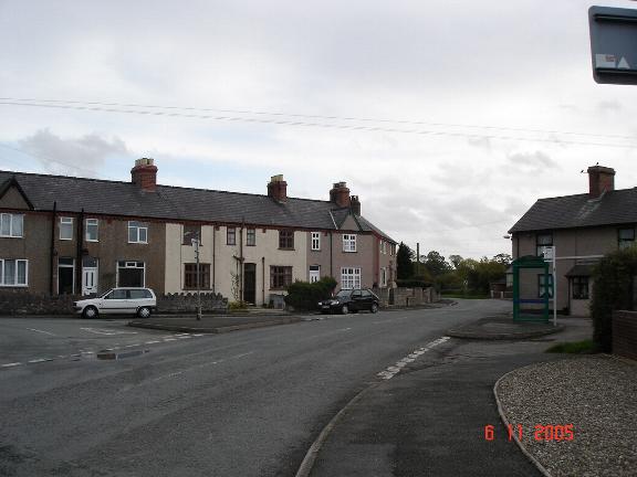
Bodfari
Bodfari is a village and community in Denbighshire, Wales. Until the local government reorganisation of 1974, Bodfari was in the historic county of Flintshire...
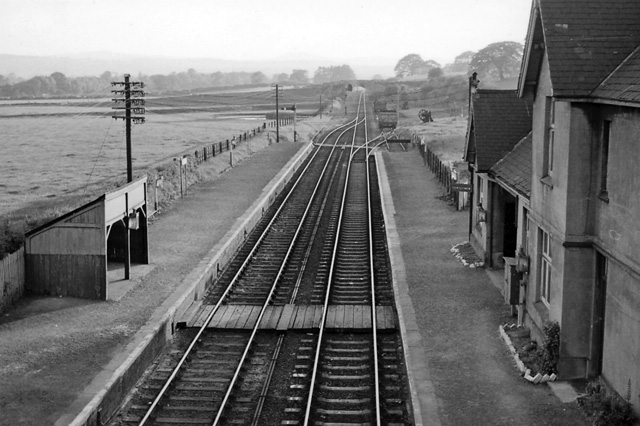
Bodfari railway station
Bodfari railway station was opened on 6 September 1869 by the Mold and Denbigh Junction Railway. Following the Railways Act 1921 the line became part of...
Aberwheeler
Aberwheeler (Welsh: Aberchwiler) is a village and community in the Welsh county of Denbighshire, located on the south bank of the River Wheeler (Welsh...

River Wheeler
The River Wheeler (Welsh: Afon Chwiler) is a tributary of the River Clwyd in north-east Wales. Rising on the east side of the Clwydian Range, it is a...
Ffynnon Beuno and Cae Gwyn Caves
Ffynnon Beuno and Cae Gwyn Caves are two Scheduled Ancient Monuments, in Denbighshire, Wales, which are also designated a Site of Special Scientific Interest...
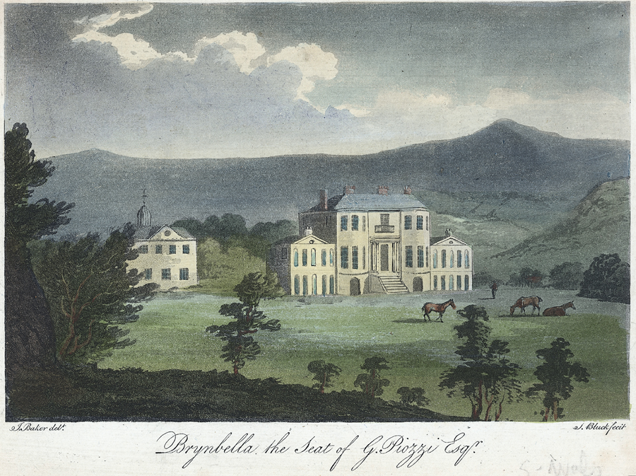
Brynbella
Brynbella is a neoclassical villa built near the village of Tremeirchion in Denbighshire, northeast Wales, by Hester Piozzi and her husband, Gabriel Piozzi...
Vale of Clwyd
The Vale of Clwyd (Welsh: Dyffryn Clwyd) is a tract of low-lying ground in the county of Denbighshire in north-east Wales. The Vale extends south-southwestwards...
Nearby Amenities
Located within 500m of 53.225502,-3.3584001Have you been to Coed Moel-y-gaer?
Leave your review of Coed Moel-y-gaer below (or comments, questions and feedback).