Llwyni-bach
Wood, Forest in Brecknockshire
Wales
Llwyni-bach

The requested URL returned error: 429 Too Many Requests
If you have any feedback on the listing, please let us know in the comments section below.
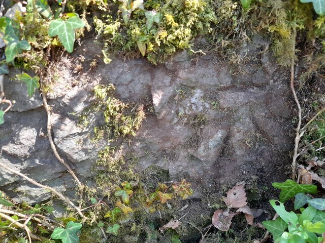
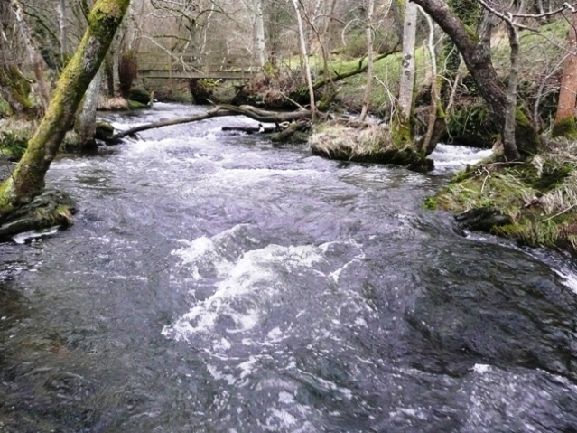
Llwyni-bach Images
Images are sourced within 2km of 52.067694/-3.322935 or Grid Reference SO0941. Thanks to Geograph Open Source API. All images are credited.


Llwyni-bach is located at Grid Ref: SO0941 (Lat: 52.067694, Lng: -3.322935)
Unitary Authority: Powys
Police Authority: Dyfed Powys
What 3 Words
///blotches.compacts.snore. Near Talgarth, Powys
Nearby Locations
Related Wikis

Erwood
Erwood (Welsh: Erwyd) is a village and community lying beside the River Wye, on the A470 road some 6 miles south-east of Builth Wells in Powys, Wales....
Bachawy
The Bachawy (Welsh: Nant Bachawy) (or Bach Howey on Early Ordnance Survey maps.) is a minor river in Powys, Wales. It rises in the hills north of Painscastle...

Llanstephan Halt railway station
Llanstephan Halt railway station, in Llanstephan, Powys, Wales, was opened by the Great Western Railway on 6 March 1933. The nameboard stated Llanstephen...
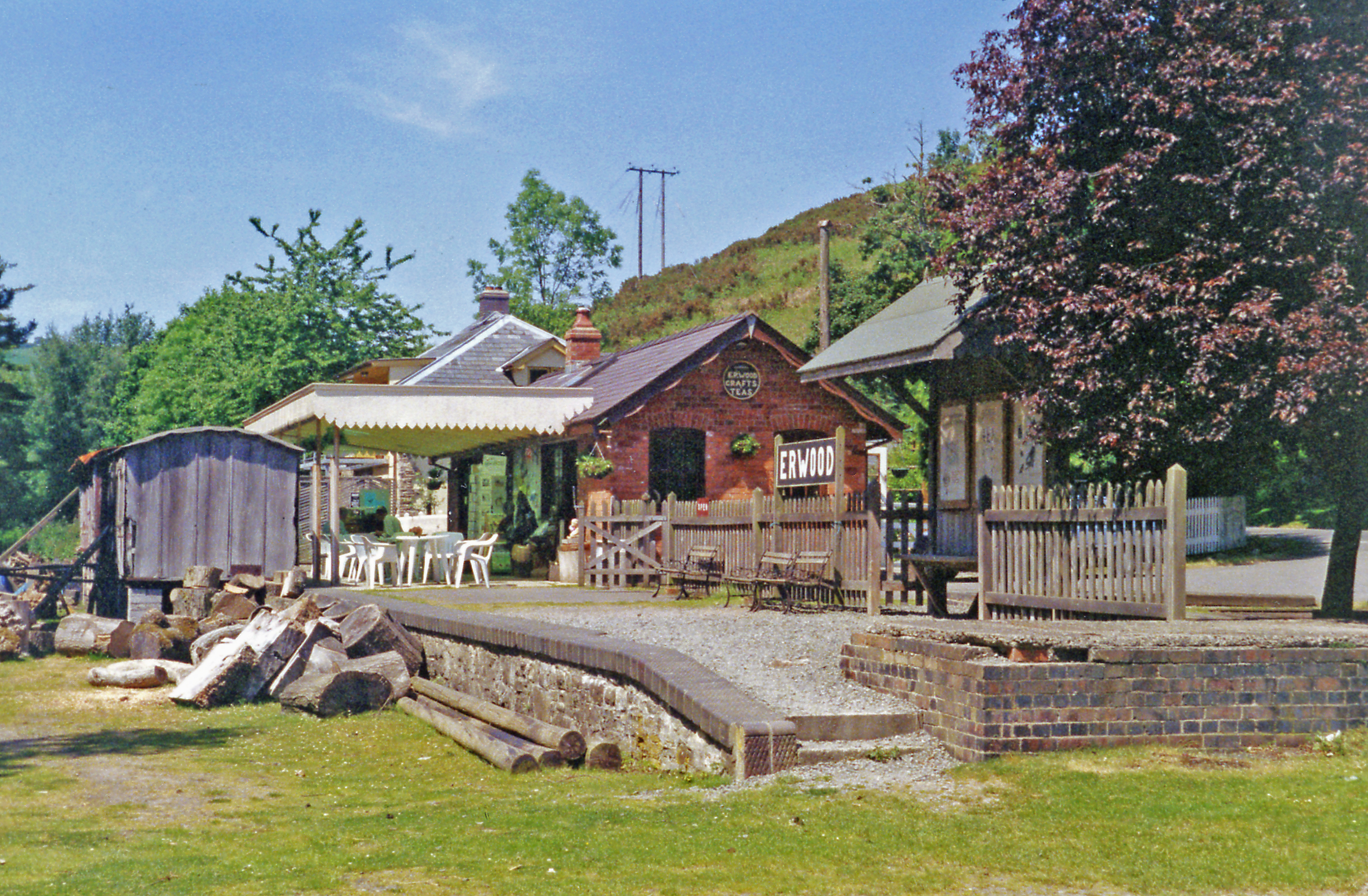
Erwood railway station
Erwood railway station is a former station on the Mid Wales Railway in Erwood, between Brecon and Llanidloes, Powys, Wales. The station building has been...
Nearby Amenities
Located within 500m of 52.067694,-3.322935Have you been to Llwyni-bach?
Leave your review of Llwyni-bach below (or comments, questions and feedback).