Bryn-wig Wood
Wood, Forest in Radnorshire
Wales
Bryn-wig Wood
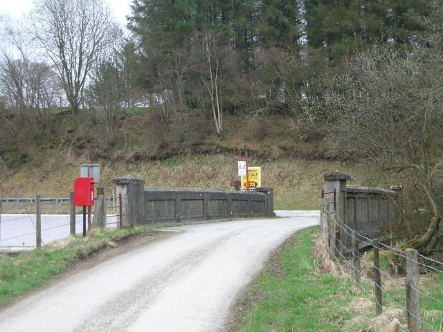
Bryn-wig Wood is a stunning woodland located in Radnorshire, Wales. With its lush greenery, diverse wildlife, and tranquil atmosphere, it has become a popular destination for nature enthusiasts and those seeking a peaceful retreat.
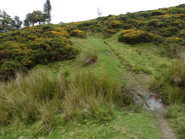
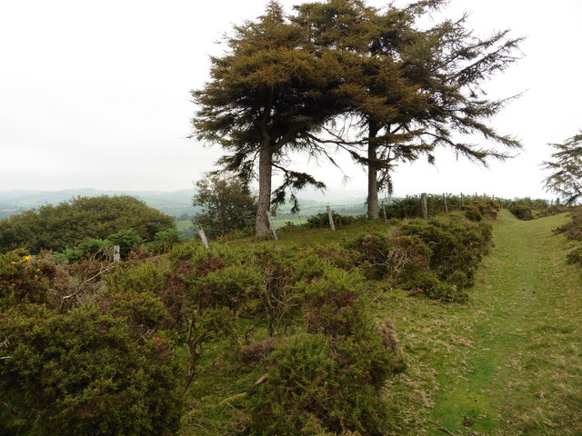
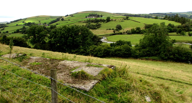
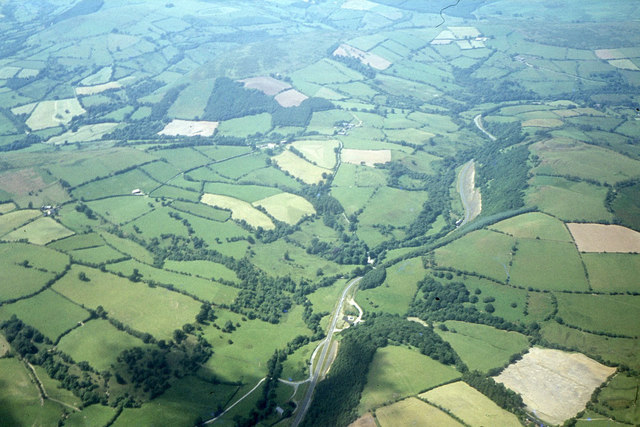
Covering an area of approximately 100 acres, the wood is predominantly composed of native broadleaf trees, including oak, birch, and beech. These trees provide a dense canopy, creating a cool and shaded environment during the summer months. The forest floor is carpeted with a rich variety of wildflowers, such as bluebells and primroses, adding bursts of color to the woodland landscape.
The wood is home to a wide range of wildlife, making it a haven for nature lovers. Visitors may spot a plethora of bird species, including woodpeckers, owls, and various songbirds. Mammals such as deer, foxes, and badgers also roam the forest, while the nearby river attracts otters and kingfishers.
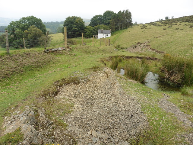
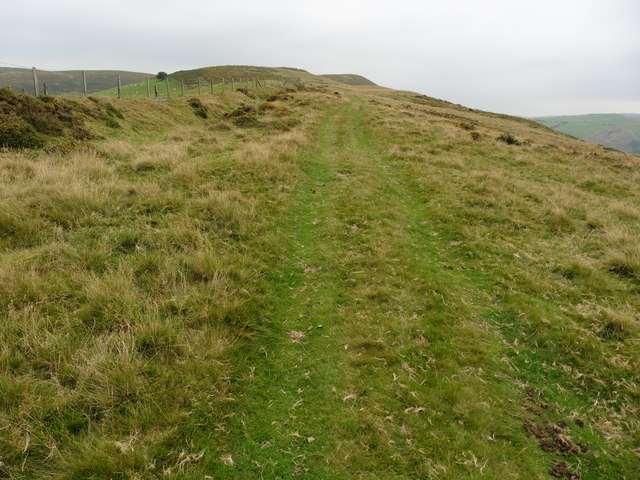
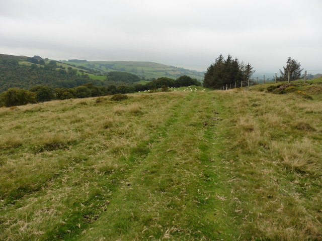
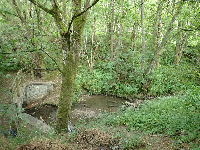
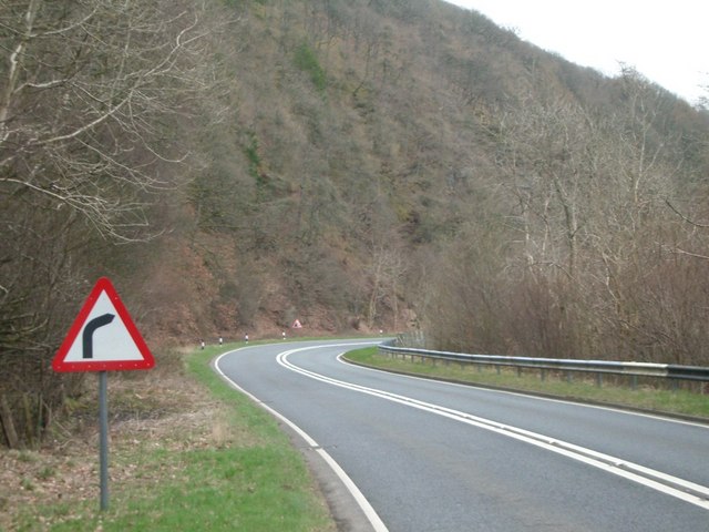
Bryn-wig Wood offers several walking trails, allowing visitors to explore its natural beauty. These paths meander through the woods, crossing babbling brooks and offering breathtaking views of the surrounding countryside. The wood is also intersected by a small stream, which adds to its charm and provides a soothing soundtrack for those who visit.
With its picturesque scenery and peaceful ambiance, Bryn-wig Wood is a true gem in Radnorshire. Whether you are an avid hiker, a wildlife enthusiast, or simply someone who appreciates the beauty of nature, this enchanting woodland is sure to captivate your senses and leave you with lasting memories.
If you have any feedback on the listing, please let us know in the comments section below.
Bryn-wig Wood Images
Images are sourced within 2km of 52.363615/-3.3315681 or Grid Reference SO0974. Thanks to Geograph Open Source API. All images are credited.
Bryn-wig Wood is located at Grid Ref: SO0974 (Lat: 52.363615, Lng: -3.3315681)
Unitary Authority: Powys
Police Authority: Dyfed Powys
What 3 Words
///slices.snippets.bundles. Near Penybont, Powys
Nearby Locations
Related Wikis

St Anno's Church, Llananno
The Church of St Anno in Llananno, Powys, Wales, is a redundant church dating from the 14th century. Its medieval rood screen is considered "one of the...
Tinboeth Castle
Tinboeth Castle (Welsh: Castell Dinbod) was a medieval castle situated midway between Llanbister and Llanbadarn Fynydd in Wales, on a bend in the River...

Llanbister
Llanbister is a small village and community with a 2011 population of 382 in Powys, mid Wales, in the historic county of Radnorshire. == Facilities... ==

Llanbadarn Fynydd
Llanbadarn Fynydd (meaning Church of Padarn in the mountain) is a village and community in Radnorshire, Powys, Wales, and is 63 miles (101 km) from Cardiff...

Rhwng Gwy a Hafren
Rhwng Gwy a Hafren (English: Between Wye and Severn) was a region of medieval Wales, located in the Welsh Marches between Powys to the north and Brycheiniog...

Red Lion Hill
Red Lion Hill (Welsh: Bryn Llew Goch) or Banc y Dolau is a hill in Powys, Wales, with a summit 484.6 metres (1,590 ft) above sea level. It is located in...
Buddugre Castle
Buddugre Castle (sometimes referred to as Tomen Bedd-Ugre, Castell Cwm Aran, Tomen Bedd Turc and Bedd-y-gre) was a motte and bailey defensive fortification...

Abbey Cwmhir Hall
Abbey-Cwm-Hir Hall is a neo-Elizabethan country house in the Welsh county of Powys. == History == The hall was built in 1833 for Thomas Wilson, a London...
Nearby Amenities
Located within 500m of 52.363615,-3.3315681Have you been to Bryn-wig Wood?
Leave your review of Bryn-wig Wood below (or comments, questions and feedback).