Rock Wood
Wood, Forest in Radnorshire
Wales
Rock Wood
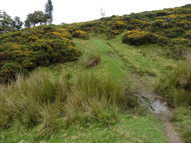
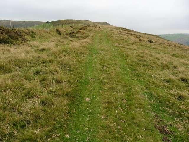
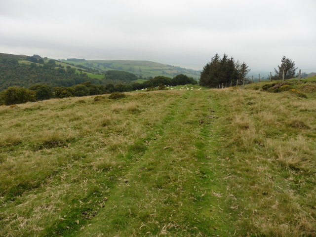
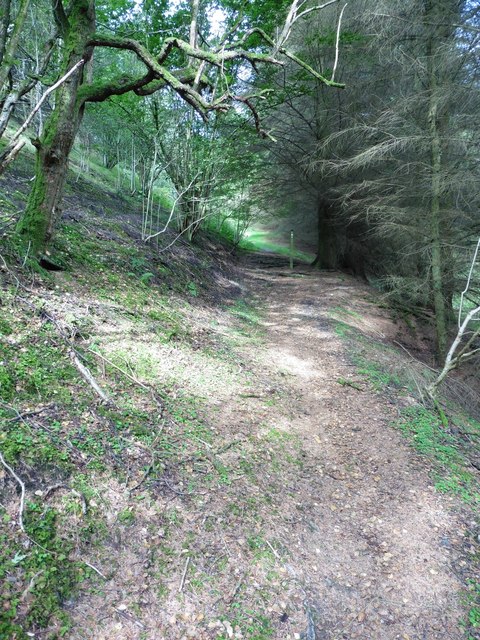
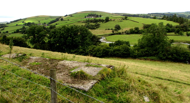
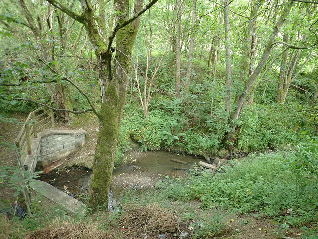
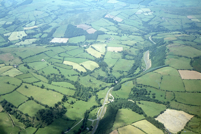
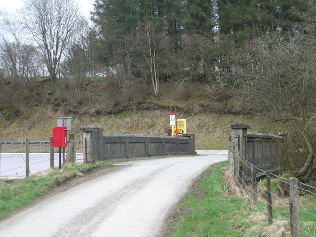
Rock Wood is a picturesque forest located in the county of Radnorshire, Wales. Covering an area of approximately 100 hectares, it is a popular destination for nature enthusiasts and hikers alike. The wood is characterized by its dense vegetation, towering trees, and tranquil atmosphere.
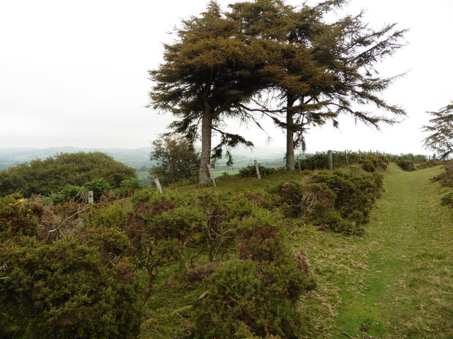
The forest is home to a diverse array of plant and animal species, making it an important ecological site. Ancient oak trees dominate the landscape, their gnarled branches creating a captivating canopy overhead. Beneath them, a rich understory of ferns, bluebells, and wildflowers adds to the wood's natural beauty.
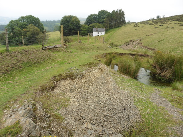
Visitors to Rock Wood can explore its network of well-maintained trails, allowing them to immerse themselves in the stunning surroundings. The abundance of wildlife in the area offers nature lovers the opportunity to spot various species, including deer, foxes, and a wide variety of birdlife.
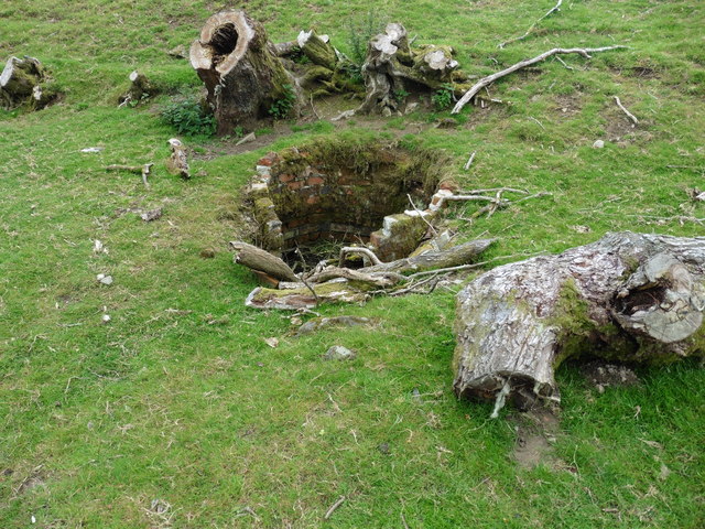
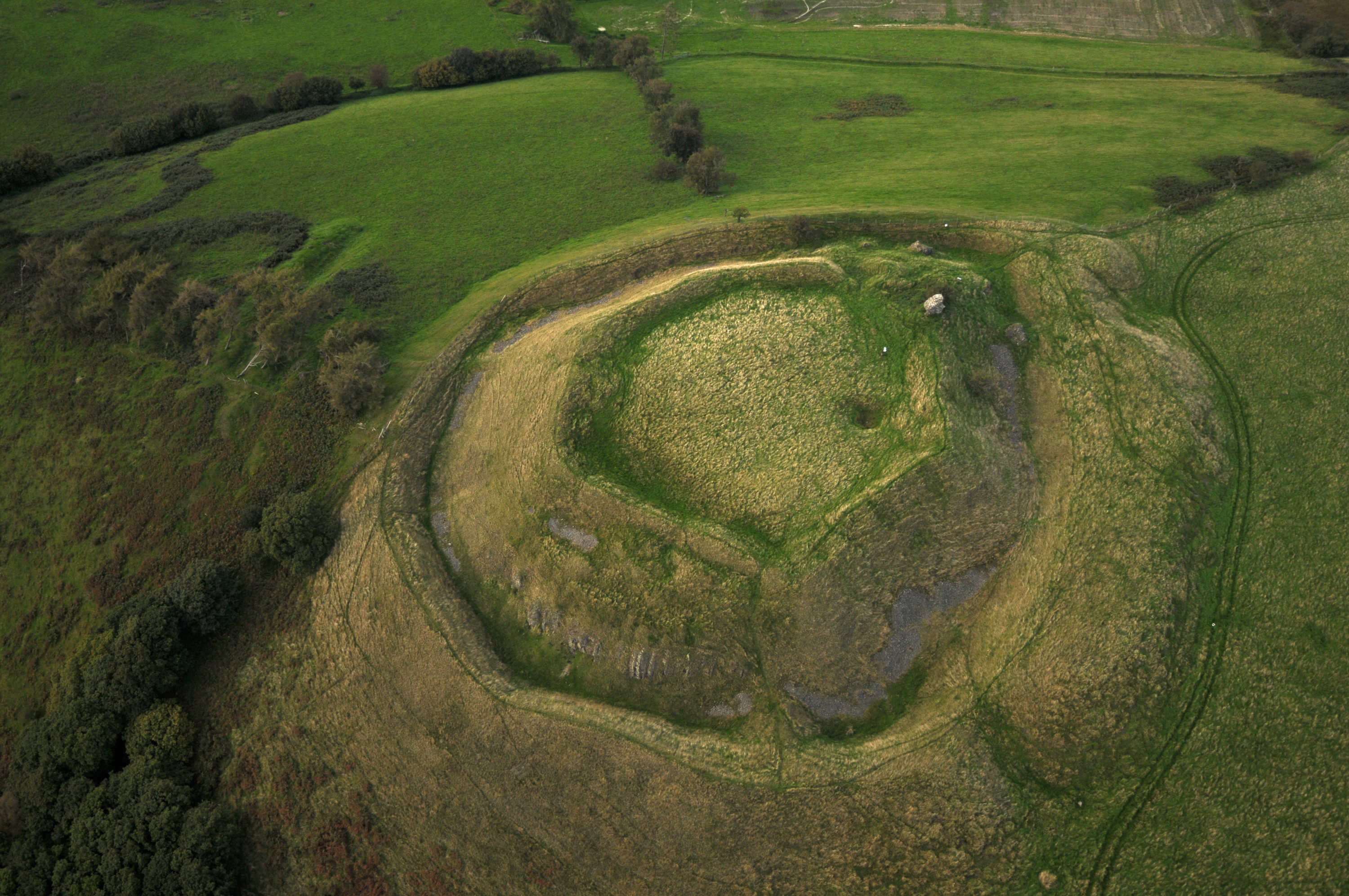
Rock Wood also holds historical significance, with remnants of an Iron Age hillfort found within its boundaries. These archaeological remains provide a glimpse into the area's ancient past and offer visitors a chance to connect with its cultural heritage.
For those seeking solace in nature, Rock Wood in Radnorshire provides a peaceful retreat. Its breathtaking scenery, diverse wildlife, and historical significance make it a must-visit destination for individuals looking to reconnect with the natural world.
If you have any feedback on the listing, please let us know in the comments section below.
Rock Wood Images
Images are sourced within 2km of 52.360654/-3.3342252 or Grid Reference SO0974. Thanks to Geograph Open Source API. All images are credited.

Rock Wood is located at Grid Ref: SO0974 (Lat: 52.360654, Lng: -3.3342252)
Unitary Authority: Powys
Police Authority: Dyfed Powys
What 3 Words
///capillary.kicked.soaps. Near Penybont, Powys
Nearby Locations
Related Wikis

St Anno's Church, Llananno
The Church of St Anno in Llananno, Powys, Wales, is a redundant church dating from the 14th century. Its medieval rood screen is considered "one of the...
Tinboeth Castle
Tinboeth Castle (Welsh: Castell Dinbod) was a medieval castle situated midway between Llanbister and Llanbadarn Fynydd in Wales, on a bend in the River...

Llanbister
Llanbister is a small village and community with a 2011 population of 382 in Powys, mid Wales, in the historic county of Radnorshire. == Facilities... ==

Llanbadarn Fynydd
Llanbadarn Fynydd (meaning Church of Padarn in the mountain) is a village and community in Radnorshire, Powys, Wales, and is 63 miles (101 km) from Cardiff...
Nearby Amenities
Located within 500m of 52.360654,-3.3342252Have you been to Rock Wood?
Leave your review of Rock Wood below (or comments, questions and feedback).